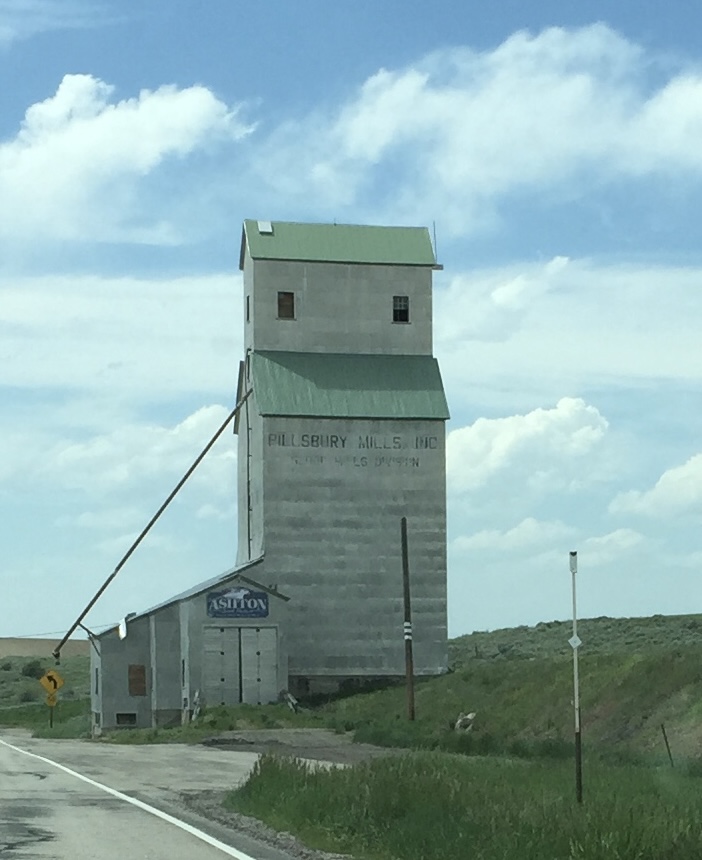
On a blistering hot day, we left Clyde Holliday—Russ hoping to make it to Mitchell and the legendary Spok’n Bike Hostel, and me hoping to find a spot at Lake Walton in the Ochoco National Forest. Along the way, I made a stop at the John Day Fossil Beds and Thomas Condon Paleontology Center, just outside of Dayville.
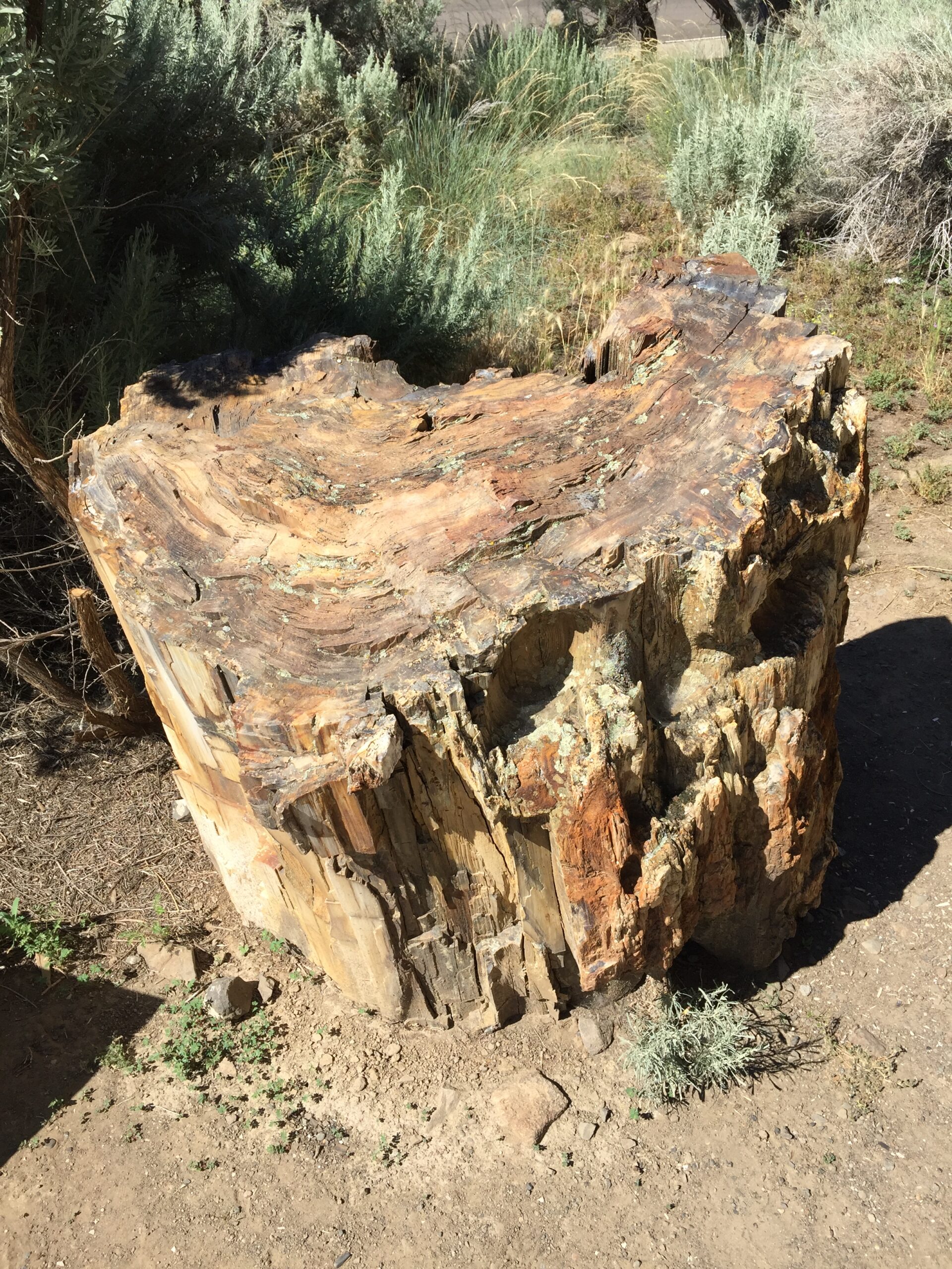
Picture GorgePicture GorgeFossilized tree stump
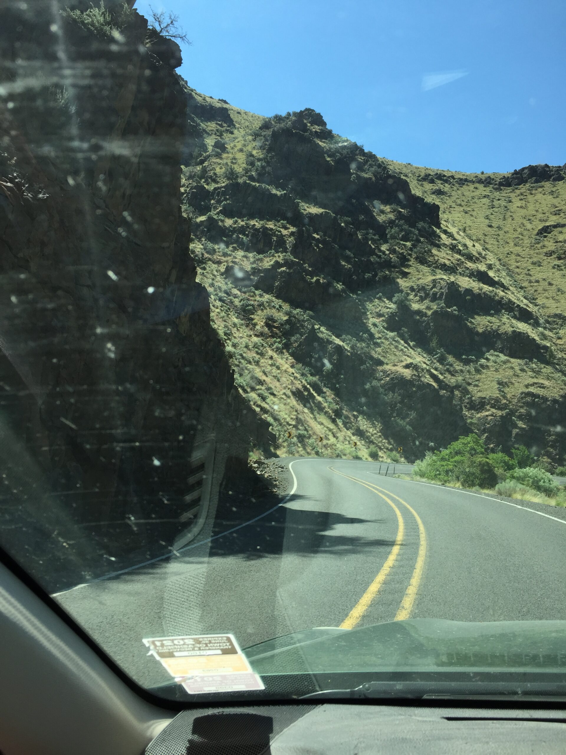
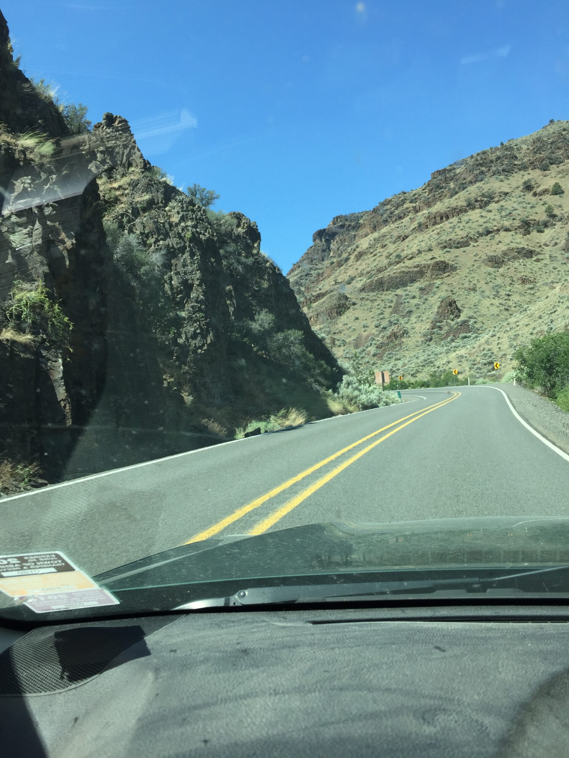
The drive, through Picture Gorge and over Sheep Rock summit, was so amazing that I nearly forgot the heat. At the center I took a short hike to an overlook above the center to stretch our legs, then put the dogs in the camper with the vent open and the windows closed against the heat (it was still cool from the AC we’d been running up until our departure). Even so, I could barely get through the exhibits before people were reporting dogs “dangerously overheating” outside. They were barking, as per usual, but otherwise fine. I went back out through the gauntlet of disapproving stares and got back on the road.
I should say that the exhibits were very interesting, and divided into the major paleontological eras in which fossils have been found. Most of central Oregon is rich in fossils—the three separate areas of the John Day Fossil Beds only cover a tiny segment. You could watch paleontologists at work at the Condon Center, though having worked in archaeology, I knew there was only so long you wanted to watch someone painstakingly chipping away at a rock matrix with dental picks and tooth brushes.
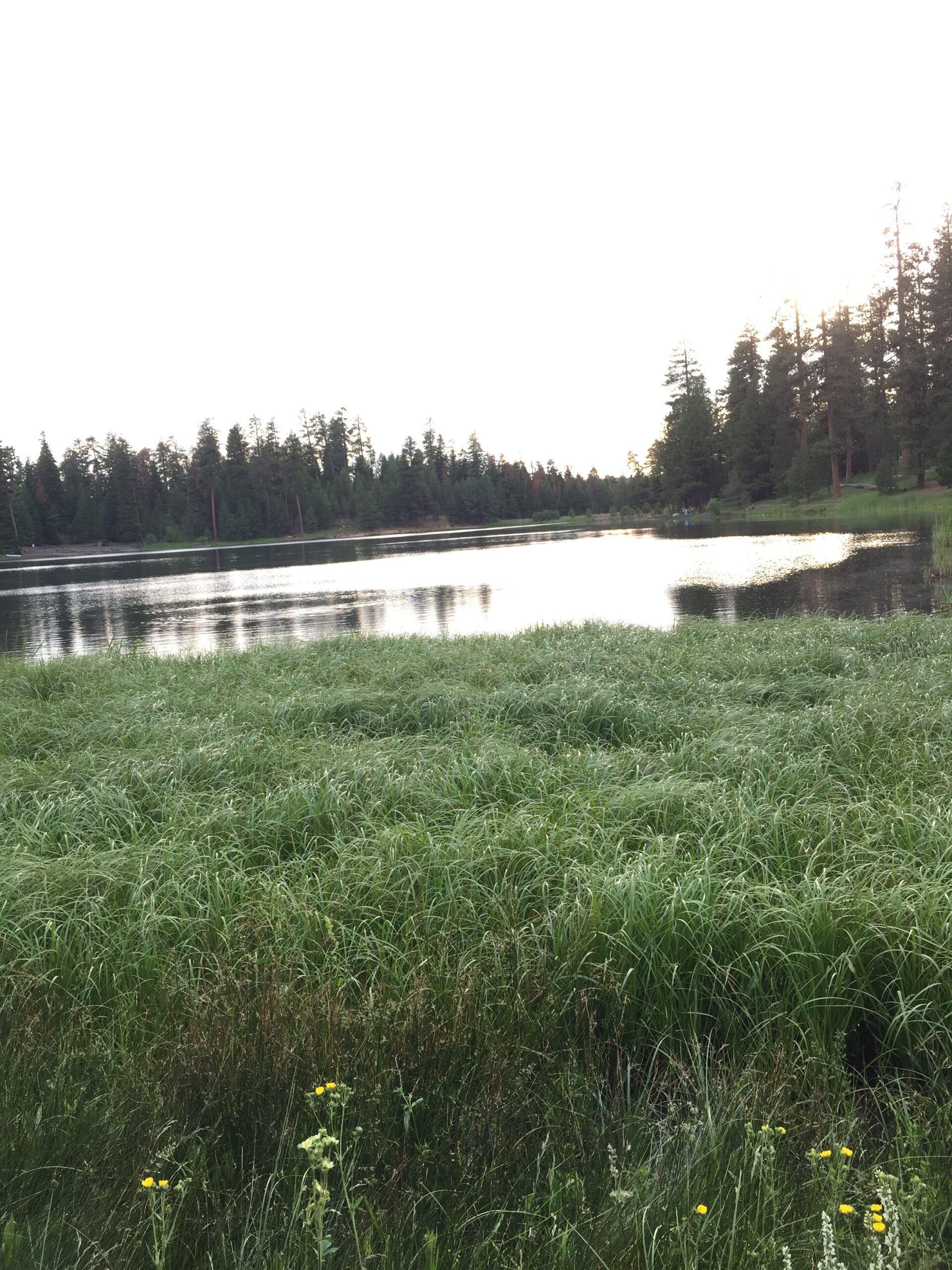
Leaving the fossil beds, the heat just slammed down, and I quickly abandoned my idea of stopping at the Painted Rocks area and hiking in to get pictures. Instead, I headed to Walton Lake, hoping the Subaru wouldn’t overheat and that I could get a site there. Indeed, none of the reservable sites were available; I was aiming for one of the non-reservable sites.
The first camp area looked crowded, so I headed around the lake to the sites on the far side. And there, close to the toilets, was the perfect, shaded site! I quickly backed up the camper, leveled it, opened the windows to air it out, then unhitched the car to drive back to the fee station and pay for two nights. Success!!
Well, not quite. On my return, I saw the ‘Reserved’ tag I’d somehow missed the first time around. So I had to undo everything and set off in search again. Fortunately, I found an open site just three places down. Not as much shade, but…. I set up camp, put out my site tag (which has the wrong site # on it) and decided I’d let the rangers figure it out.
And then it was time for lunch. Now all I have to do is wait half an hour until it’s safe to take a dip in the lake (do parents still do that?)—the first body of water I’ve found out west that isn’t pure, icy snow melt.
Whew, it’s hot! Hope Russ is OK. No cell service here.
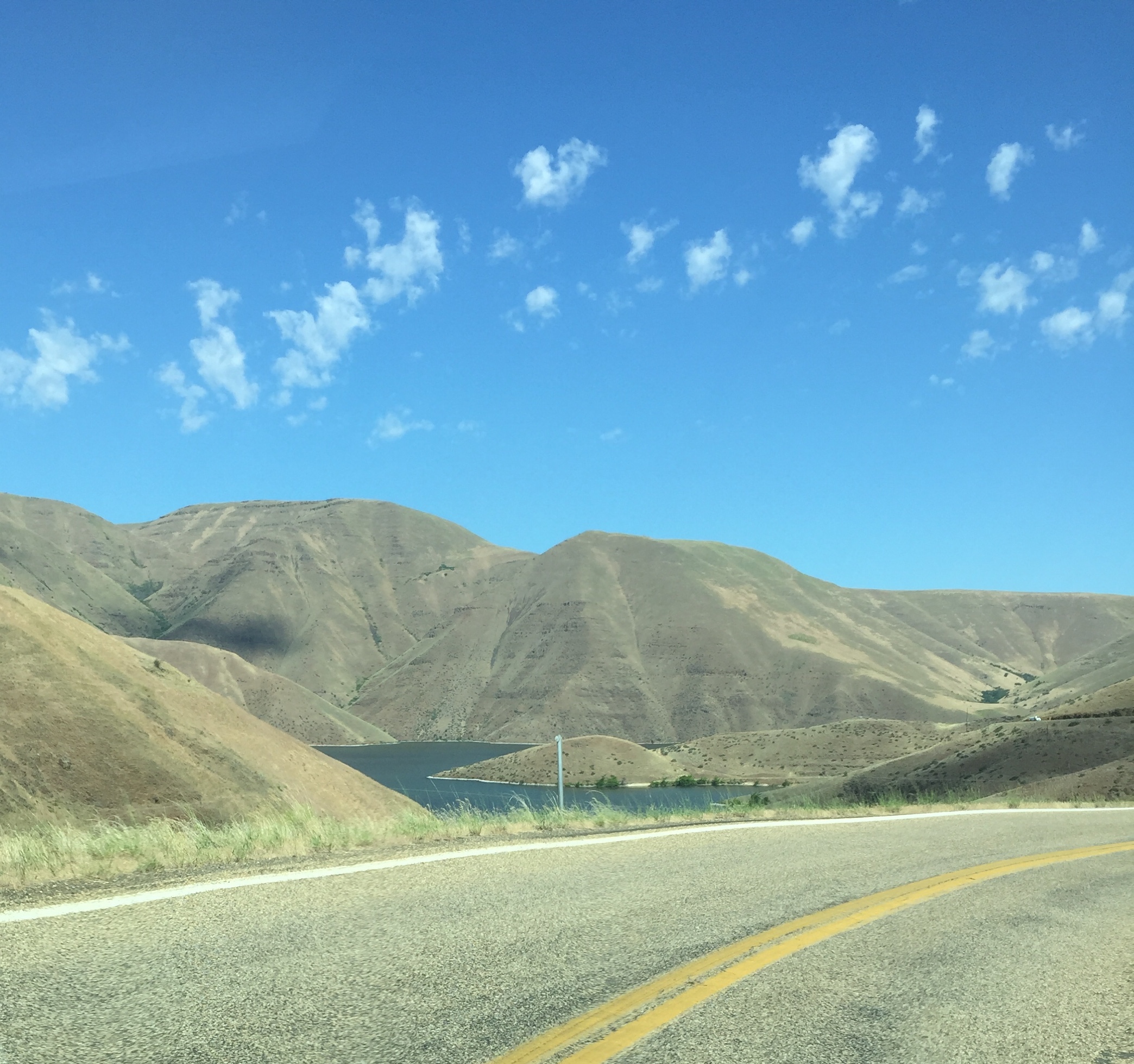
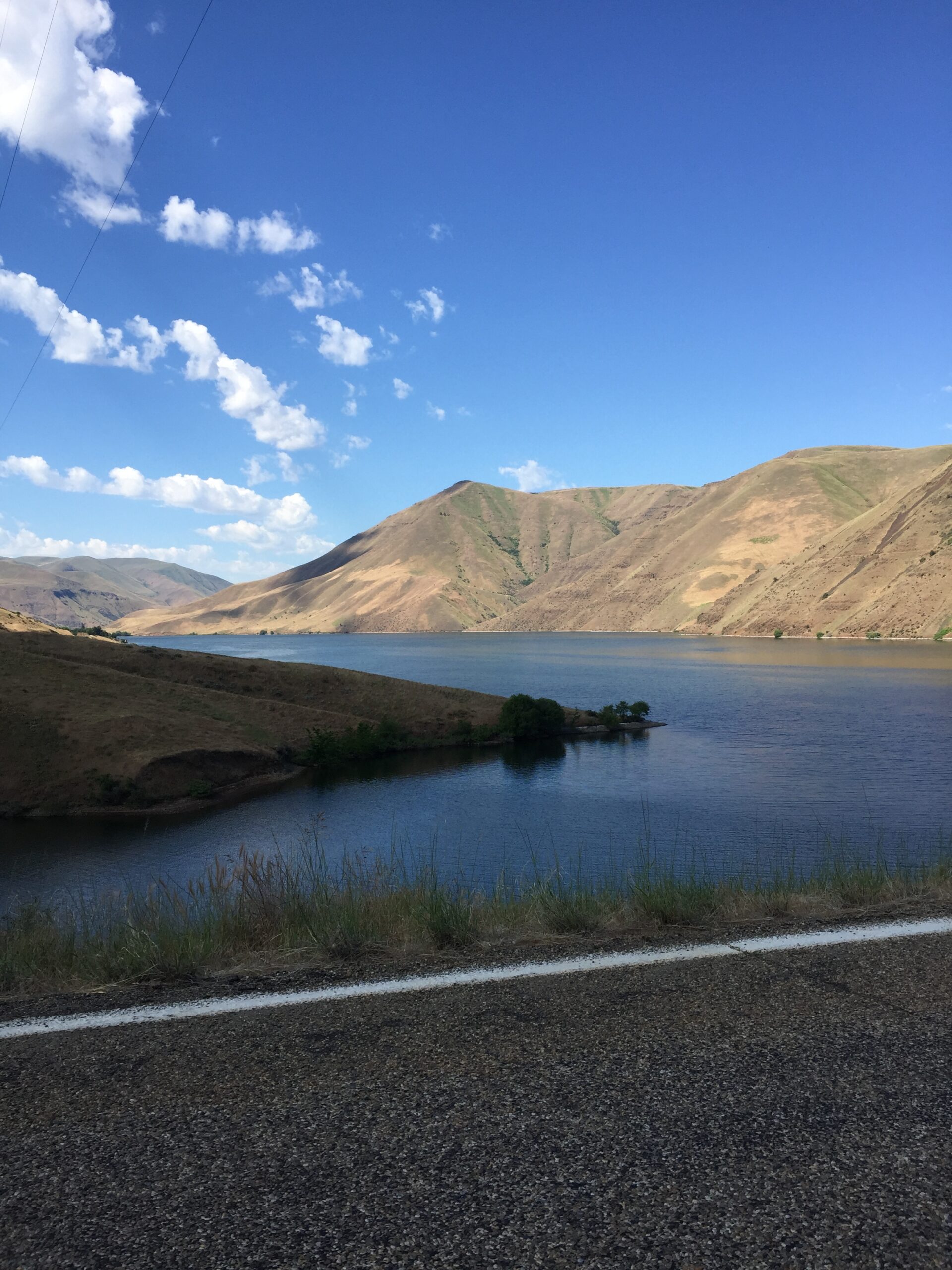
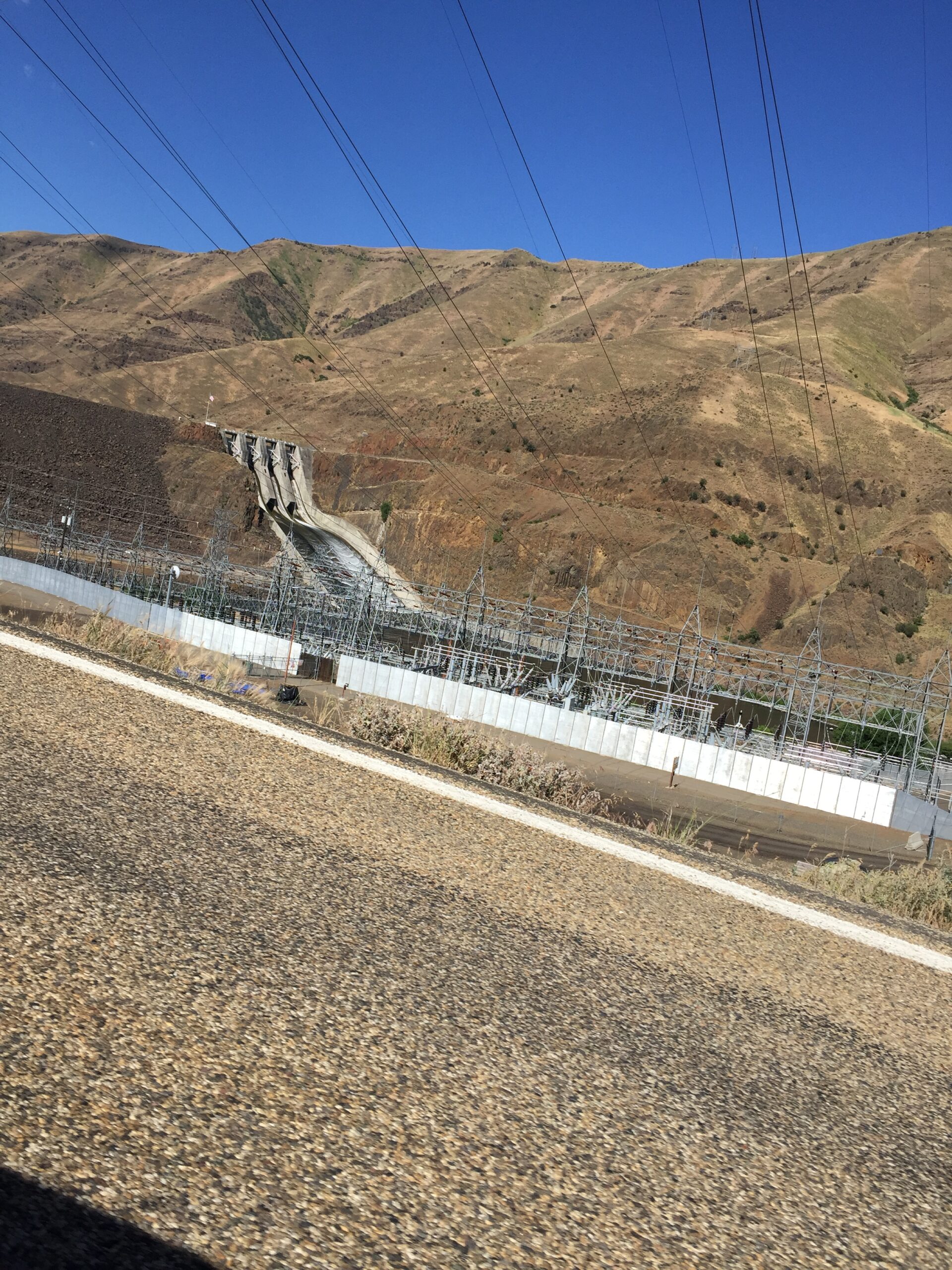
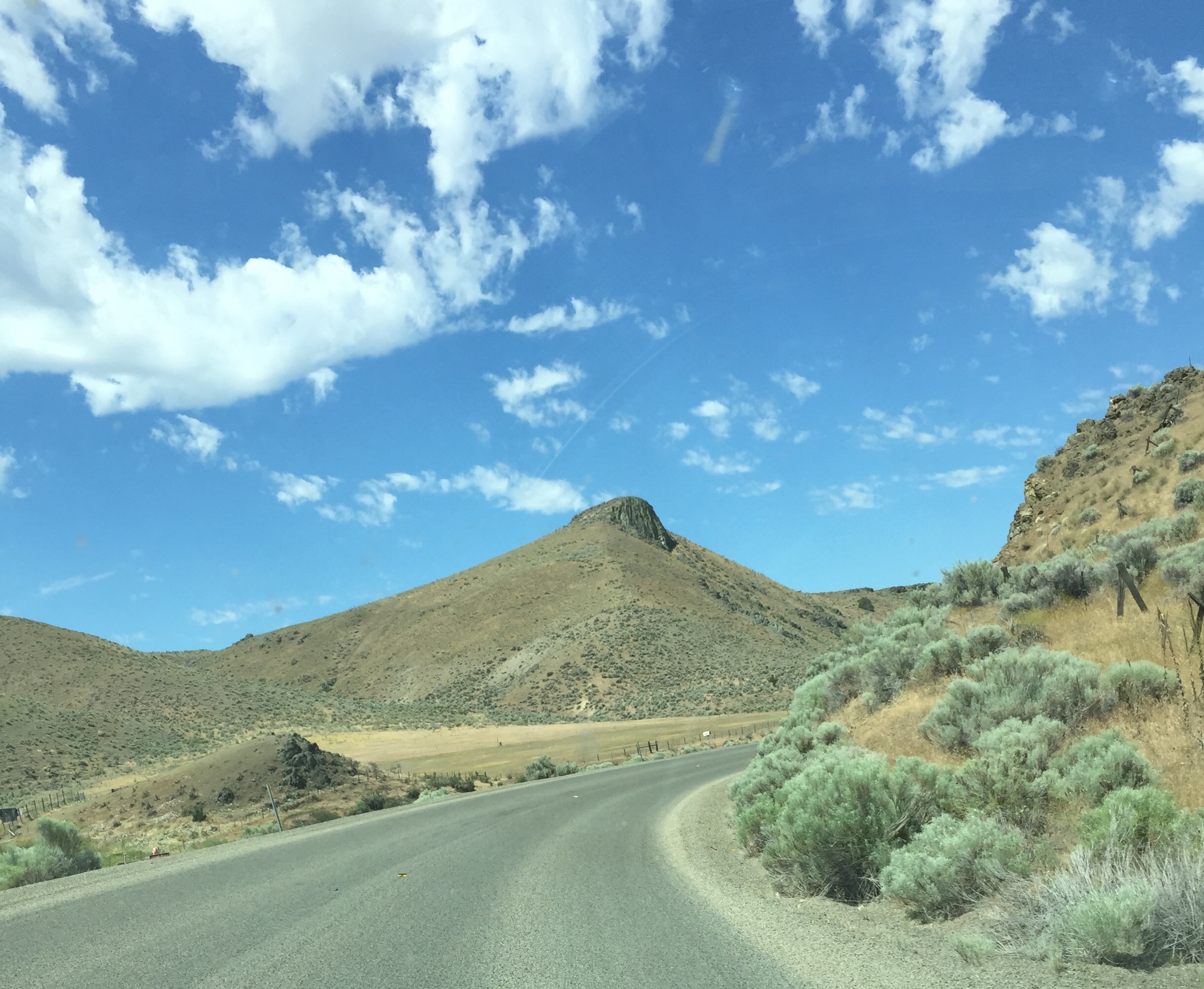
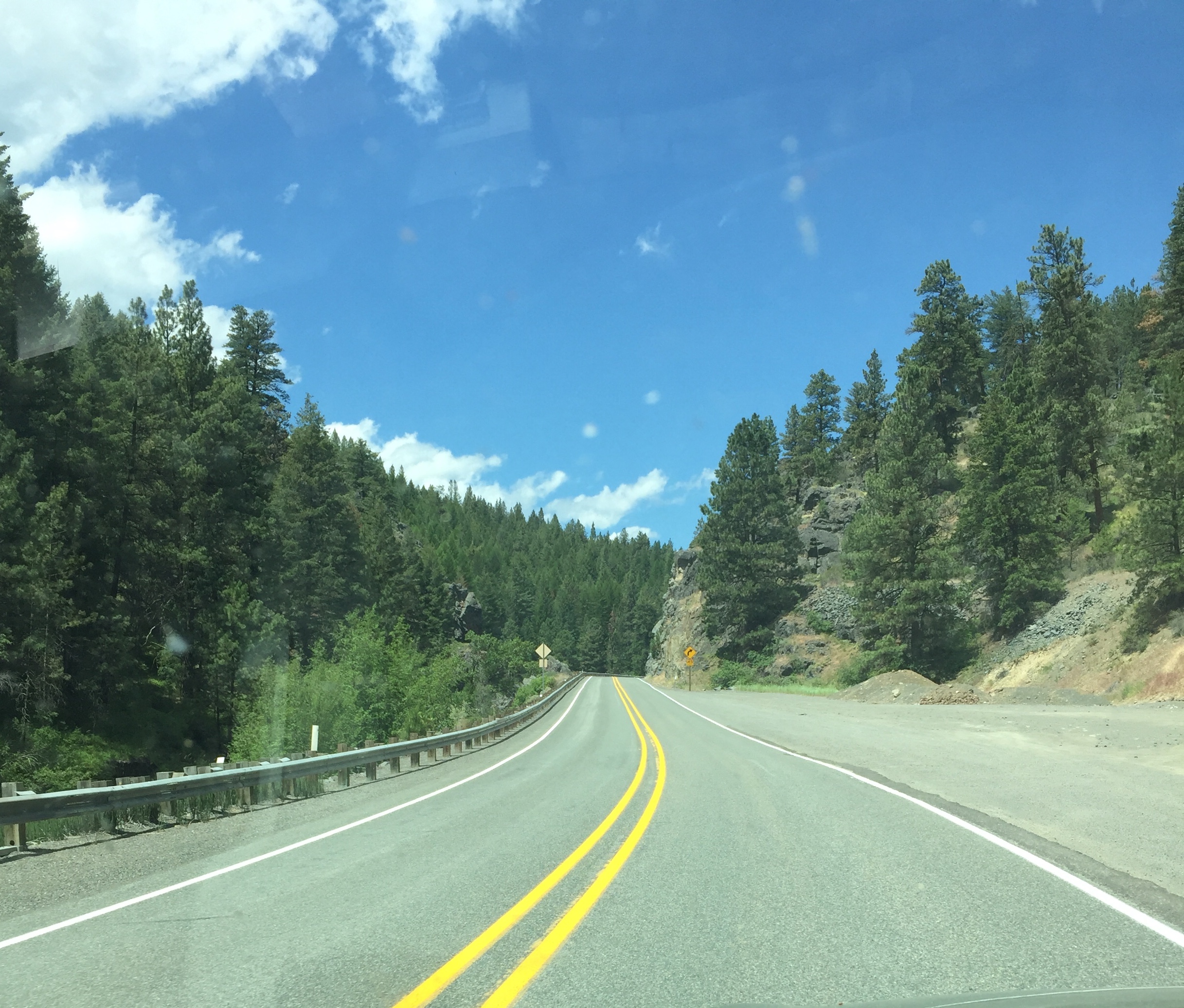
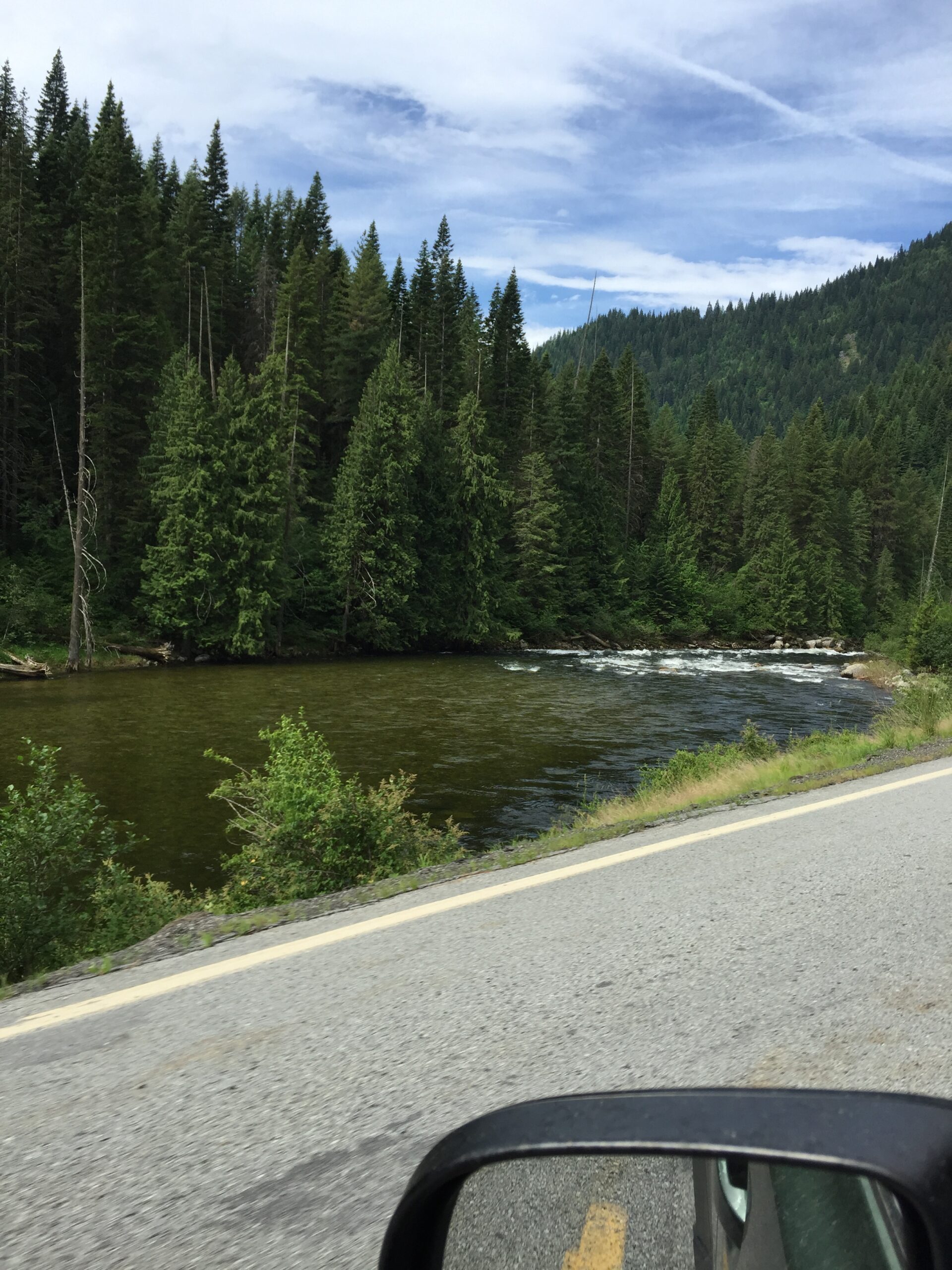
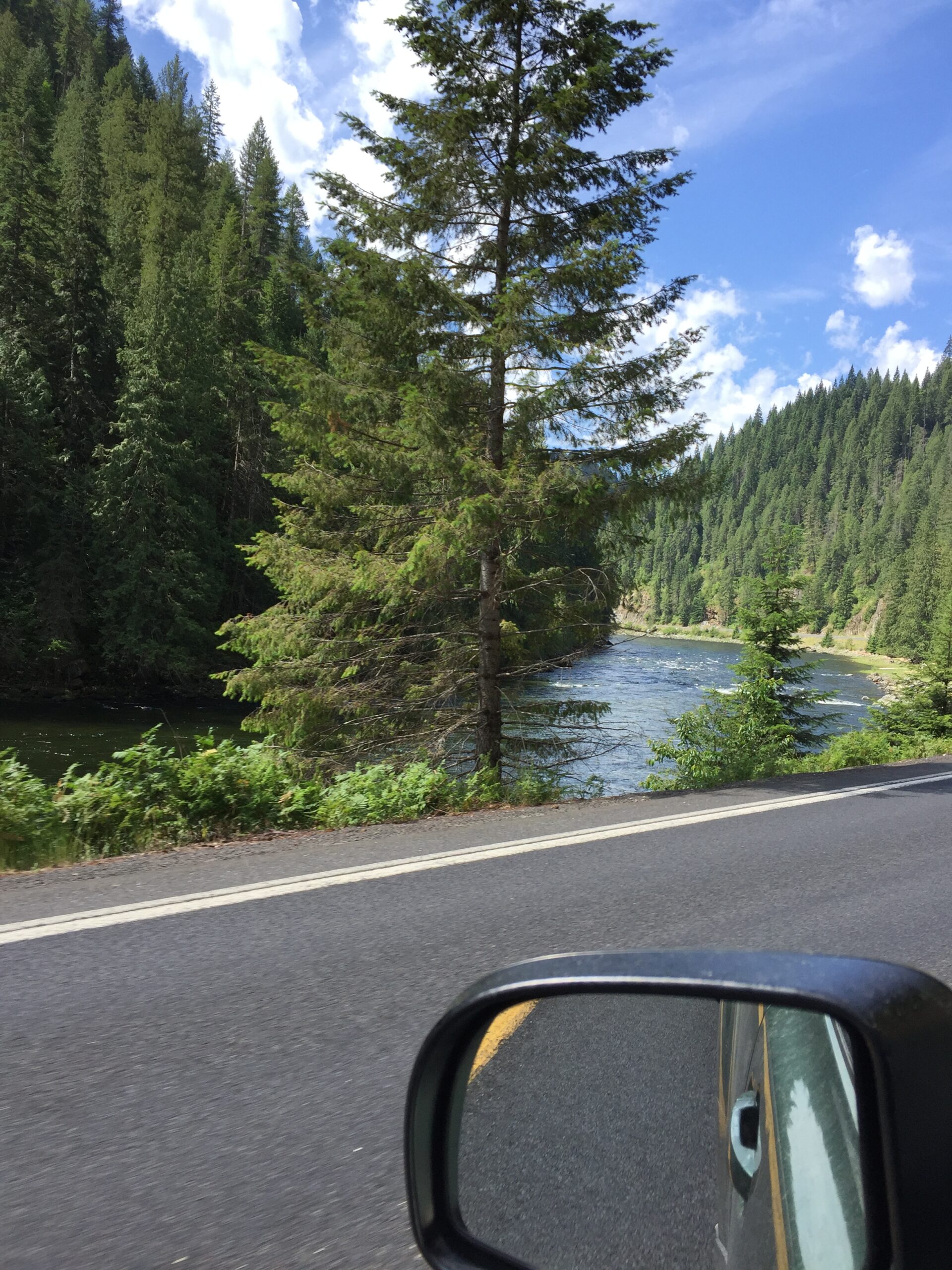
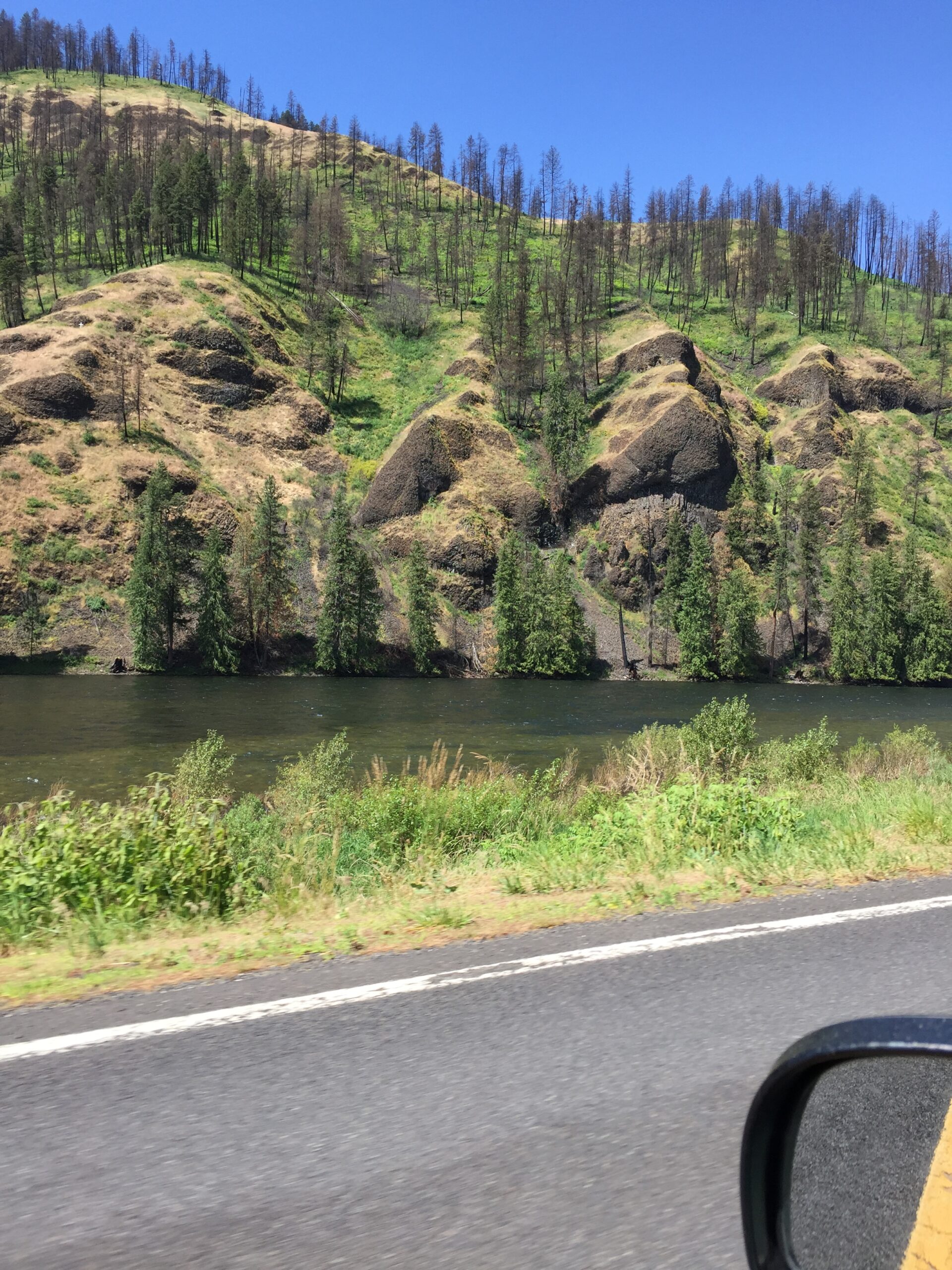
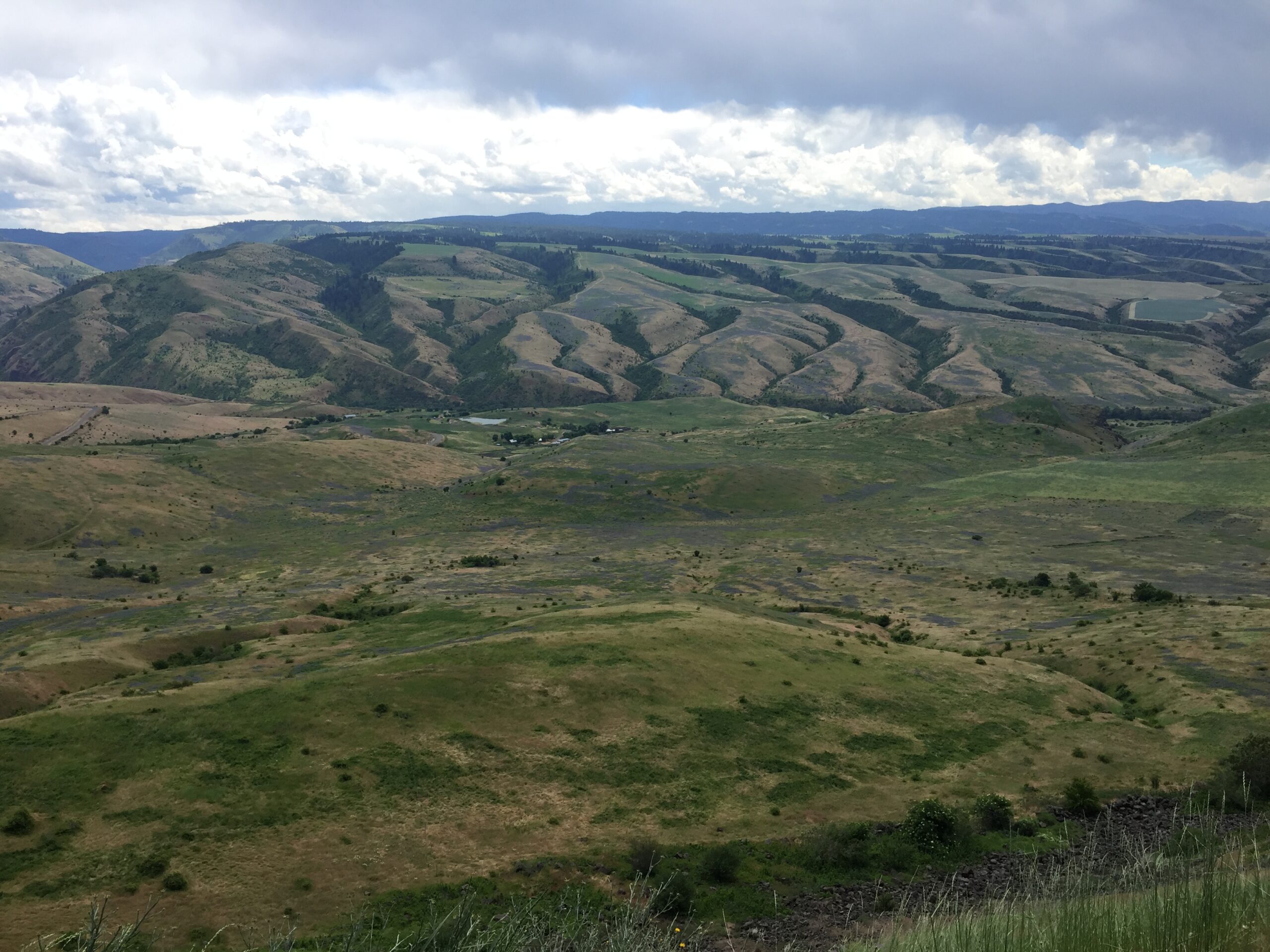
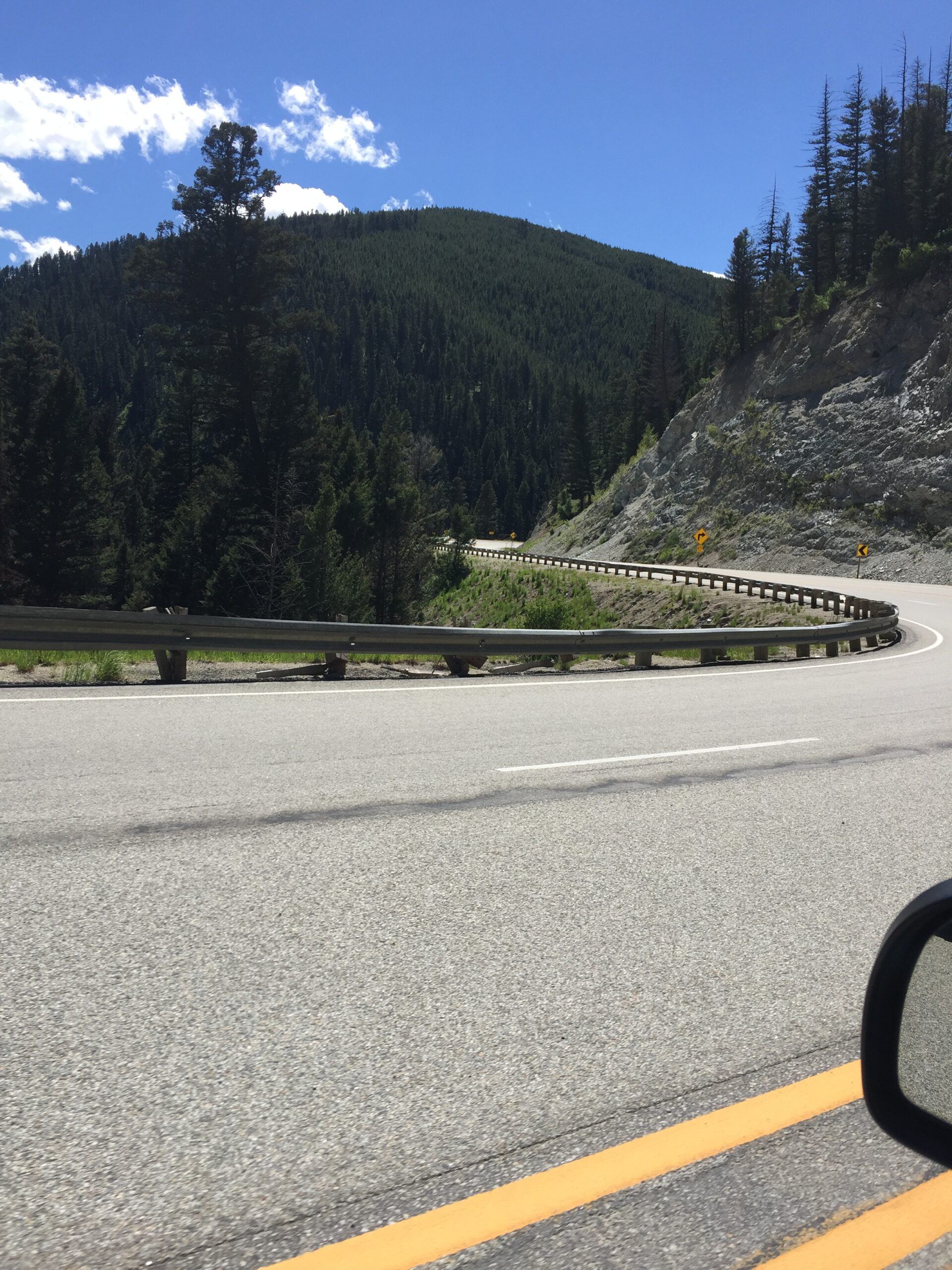
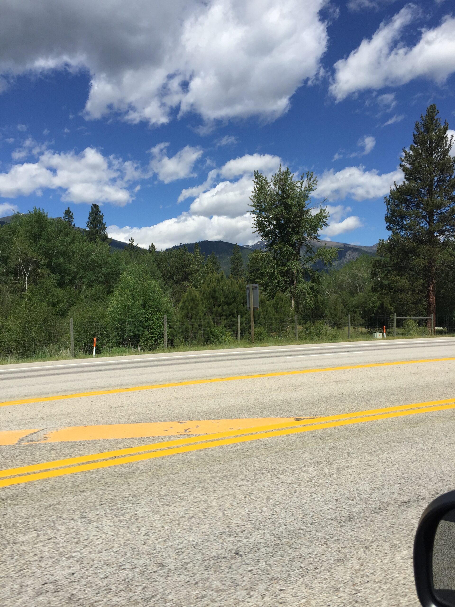
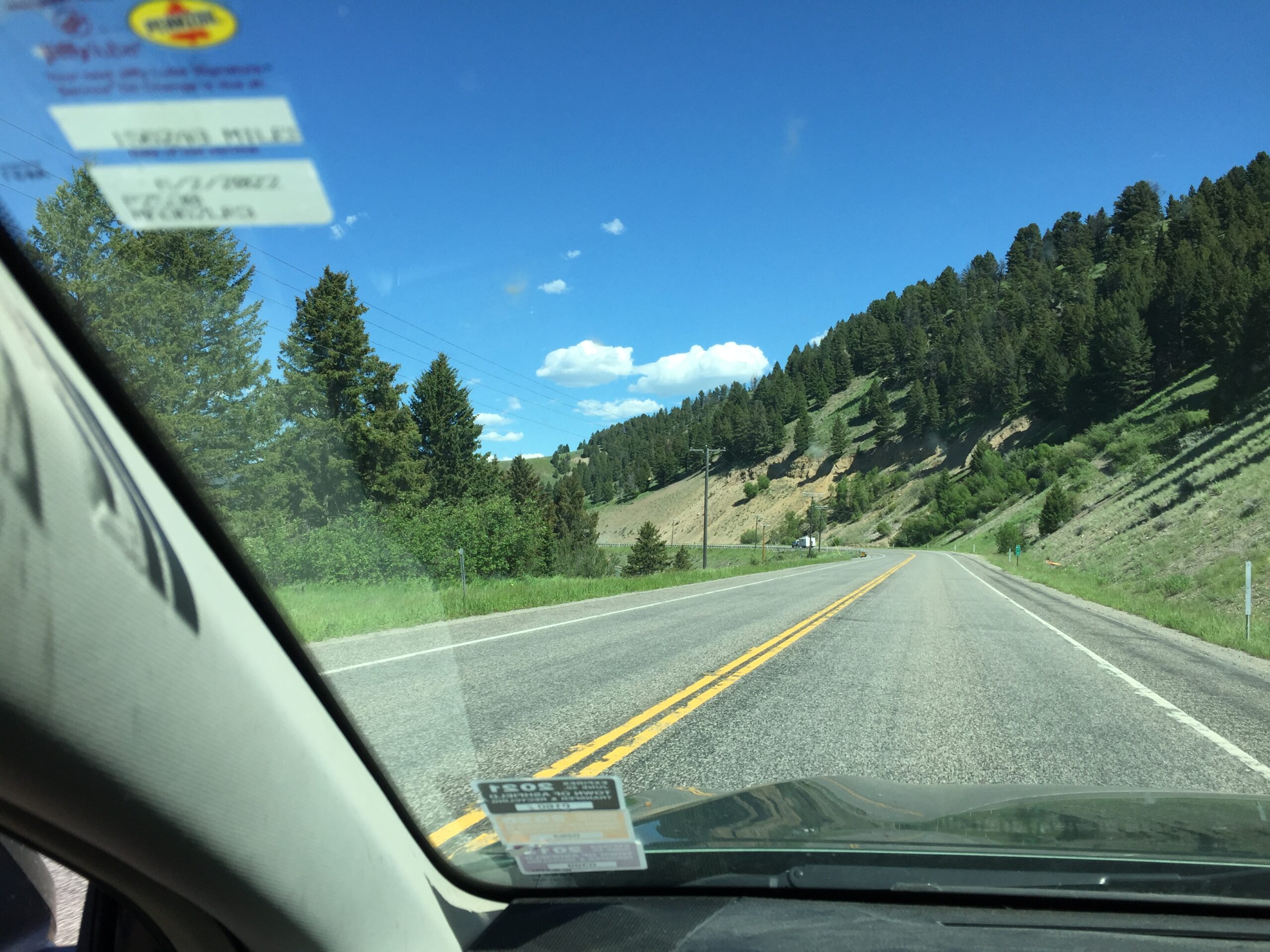
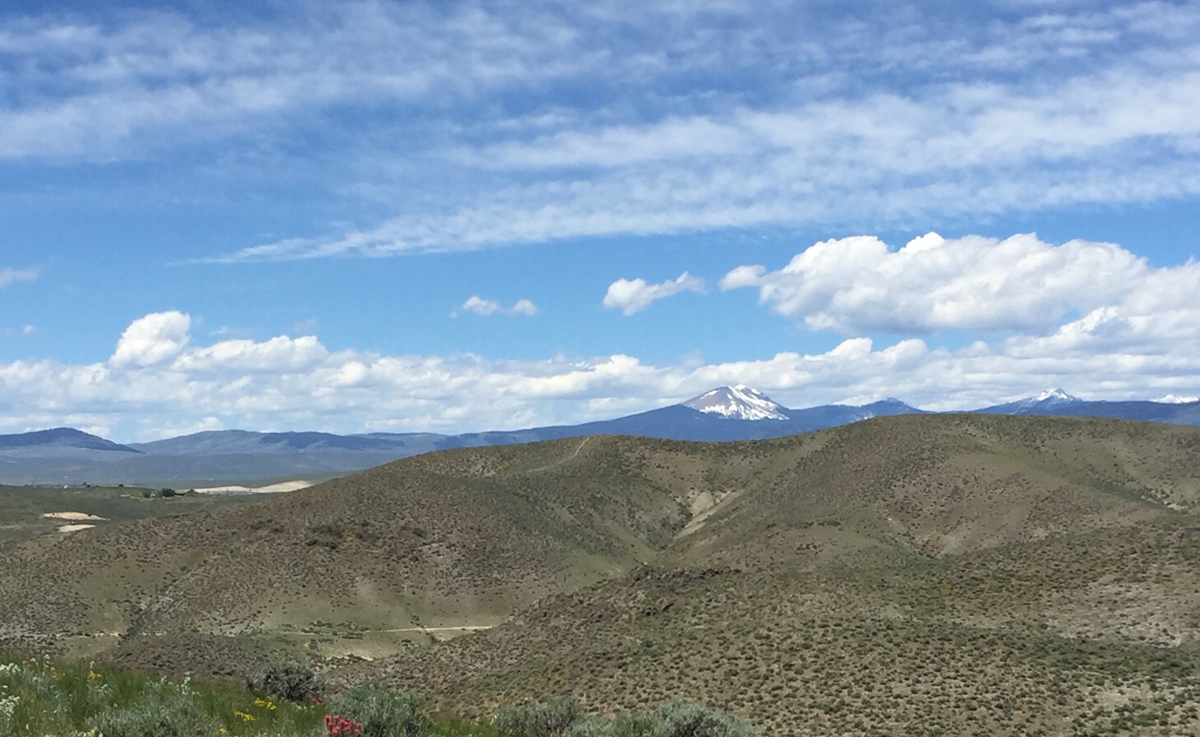
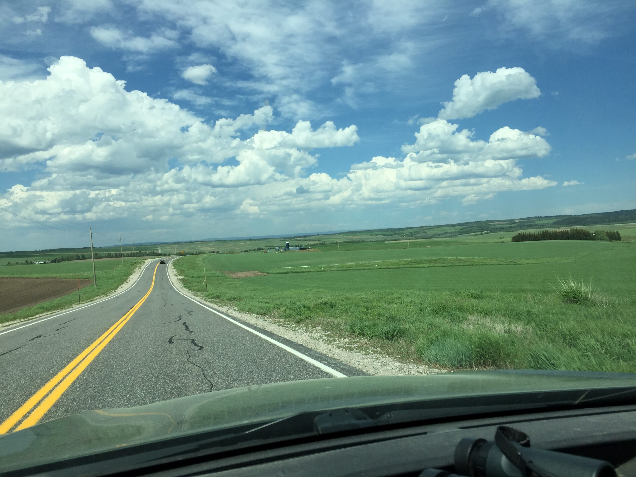
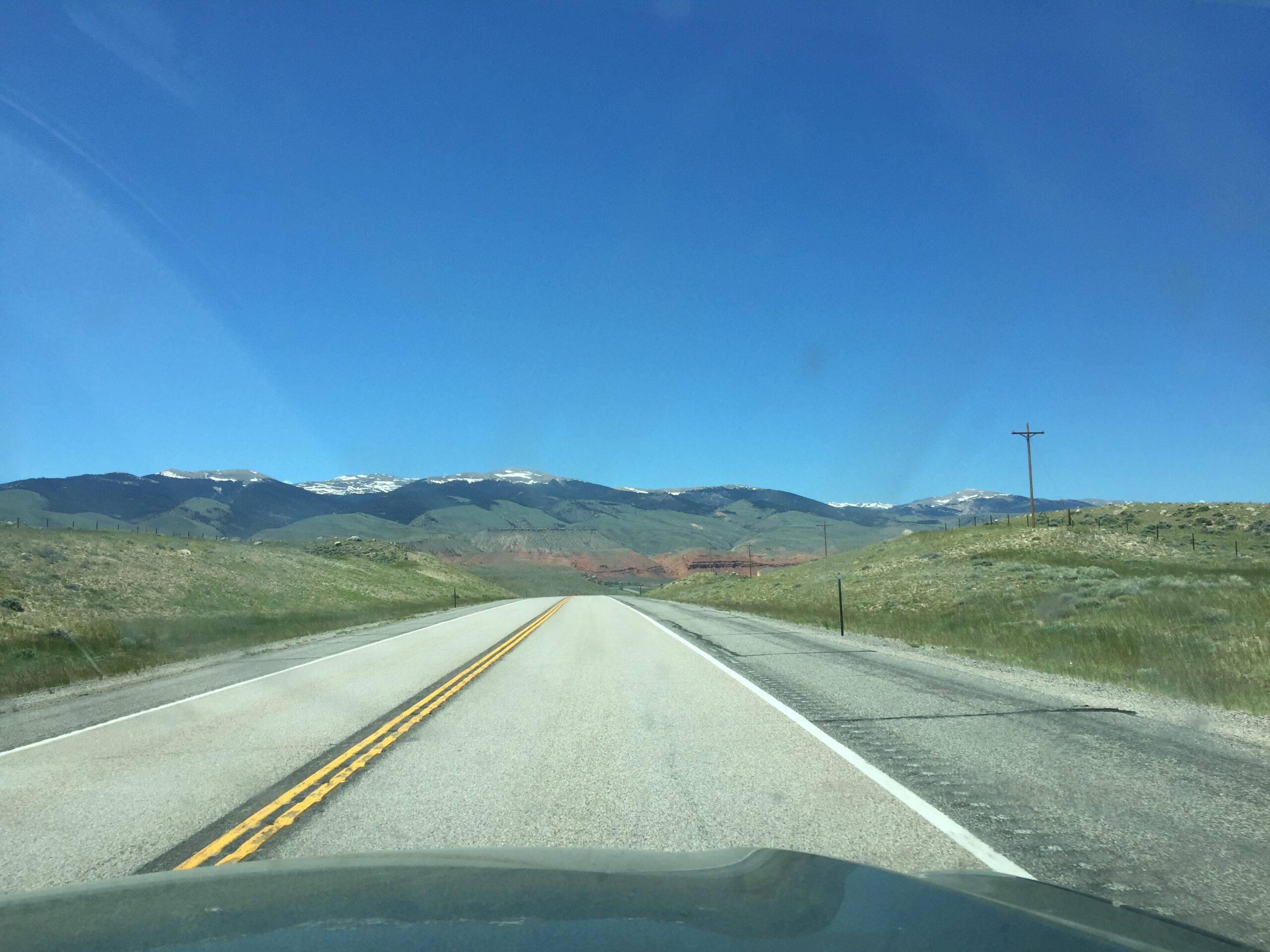
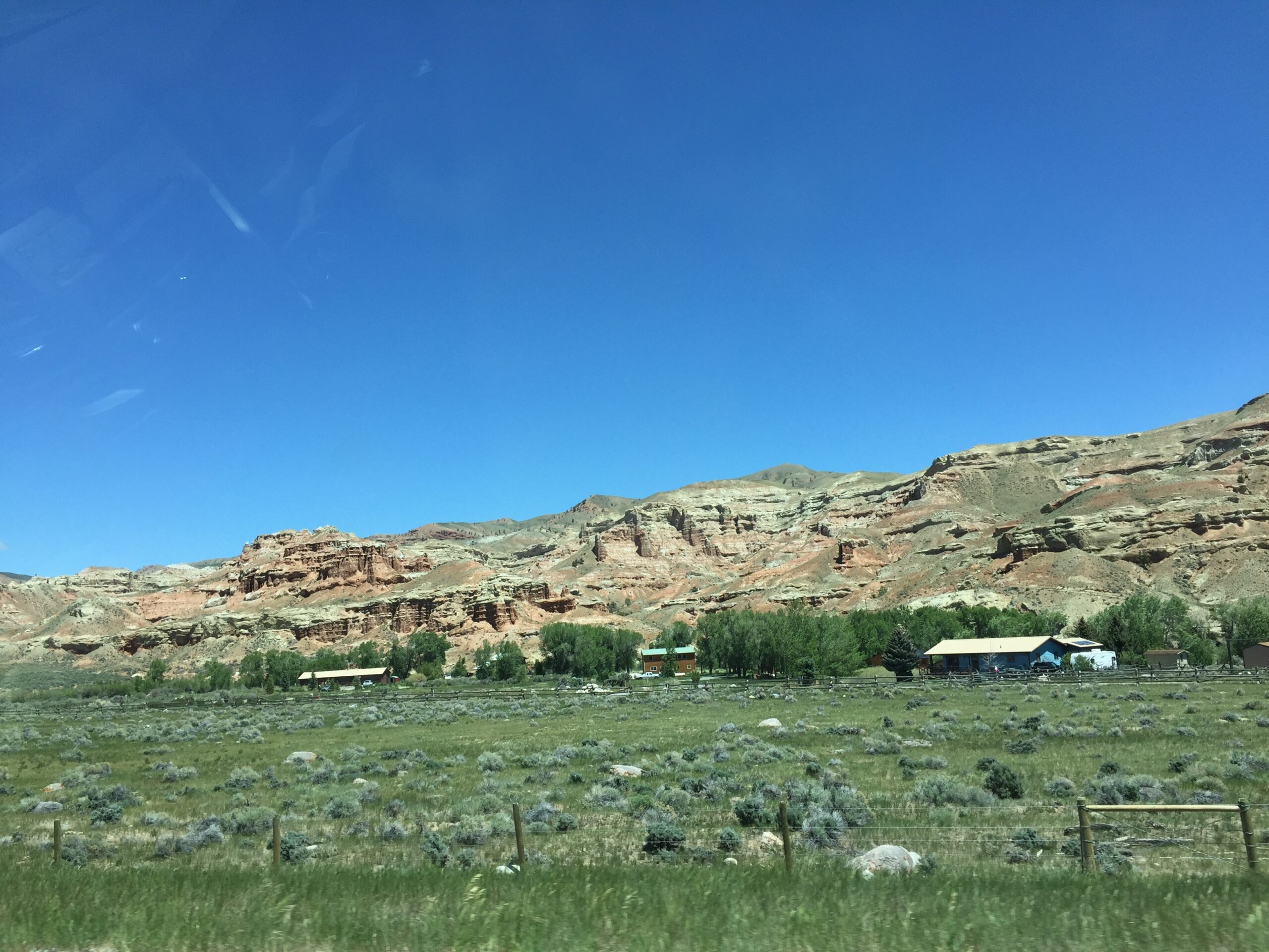
Heading down from Brownlee Campground to the Brownlee Dam, the landscape quickly turned from forest to desert. The reservoir behind Brownlee Dam looked so out of place in this dry landscape, like someone had dumped a bucket of water at the base of an anthill. Across the Oxbow Dam, and I was in the high desert of Oregon. Up Hell’s Canyon, I felt sorry for Russ, who would ride that route the next day in 103 degree heat.
Reservoir in a desertDam spillway with the big power generating station belowThe Powder RiverHell’s CanyonOne narrow ribbon of green
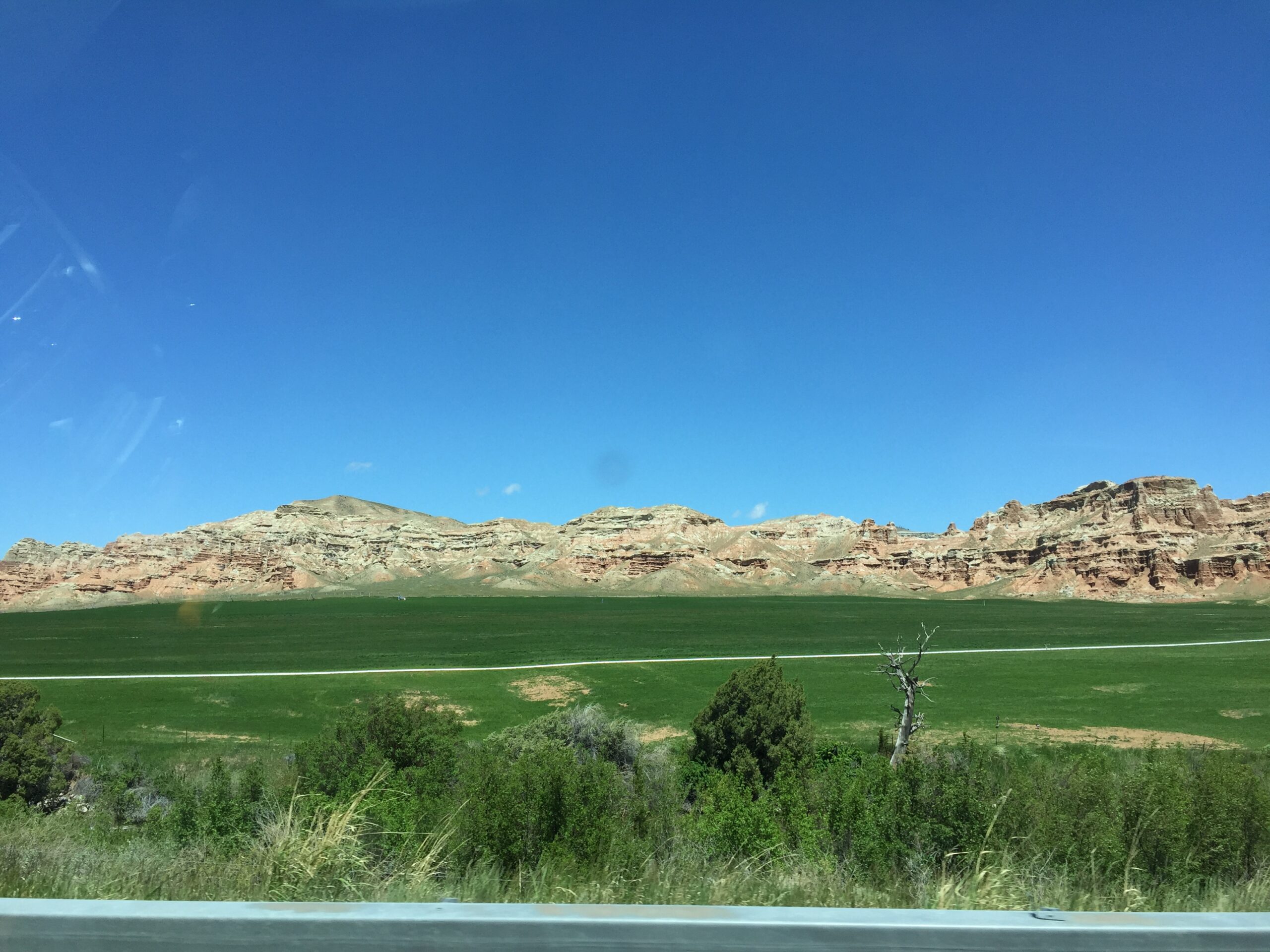
Then, suddenly the landscape changed again, and I climbed into the Wallowa-Whitman National Forest and over the three Blue Mountain peaks Russ would have to conquer. Down the other side, and back into dry land, although this time the entire valley floor was heavily irrigated for farmland. Strange to see a lush green field on one side of the road and dry sagebrush on the other.
Wallowa-Whitman Wallowa-WhitmanDown into the valleyOregon trail historical siteIrrigated fields
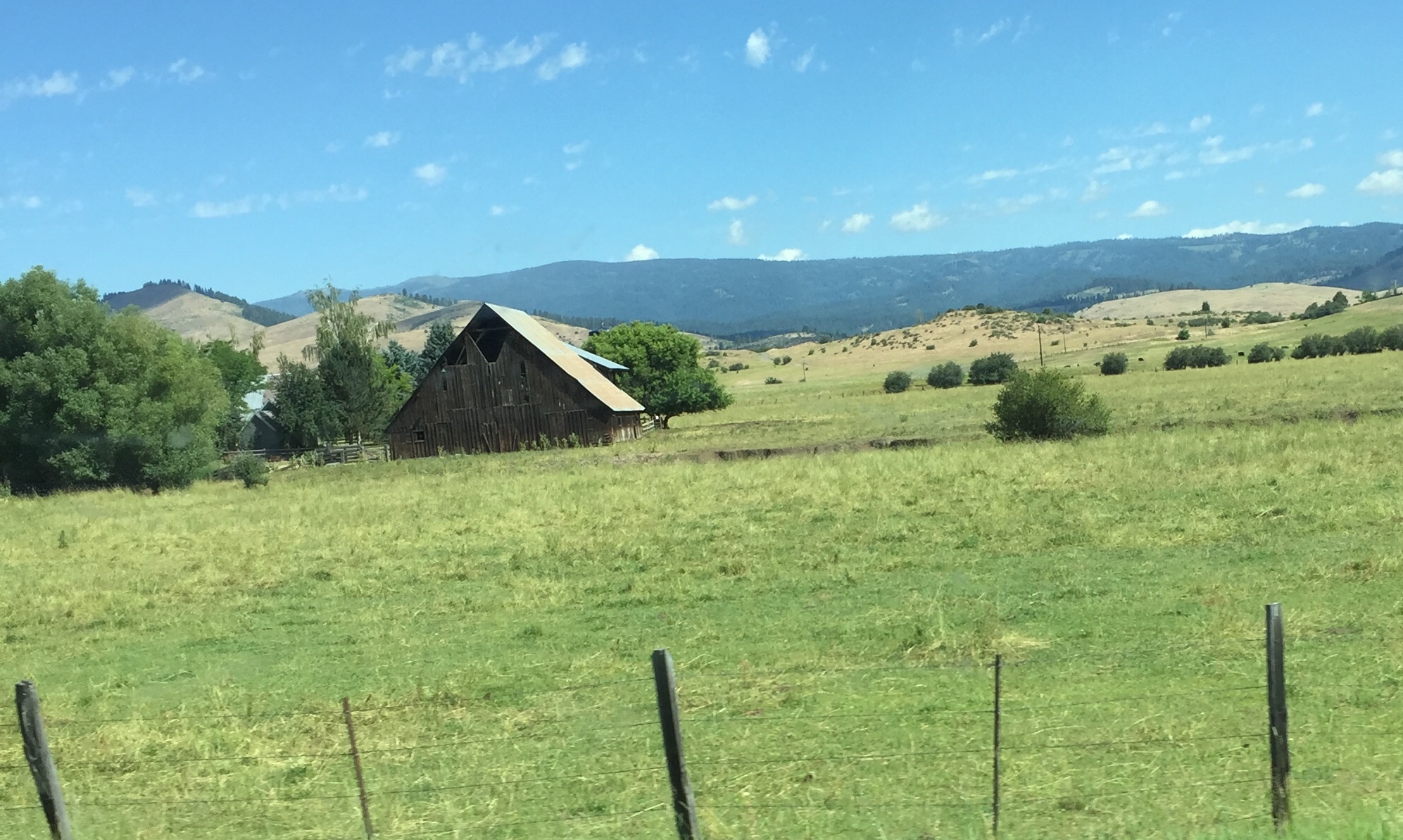
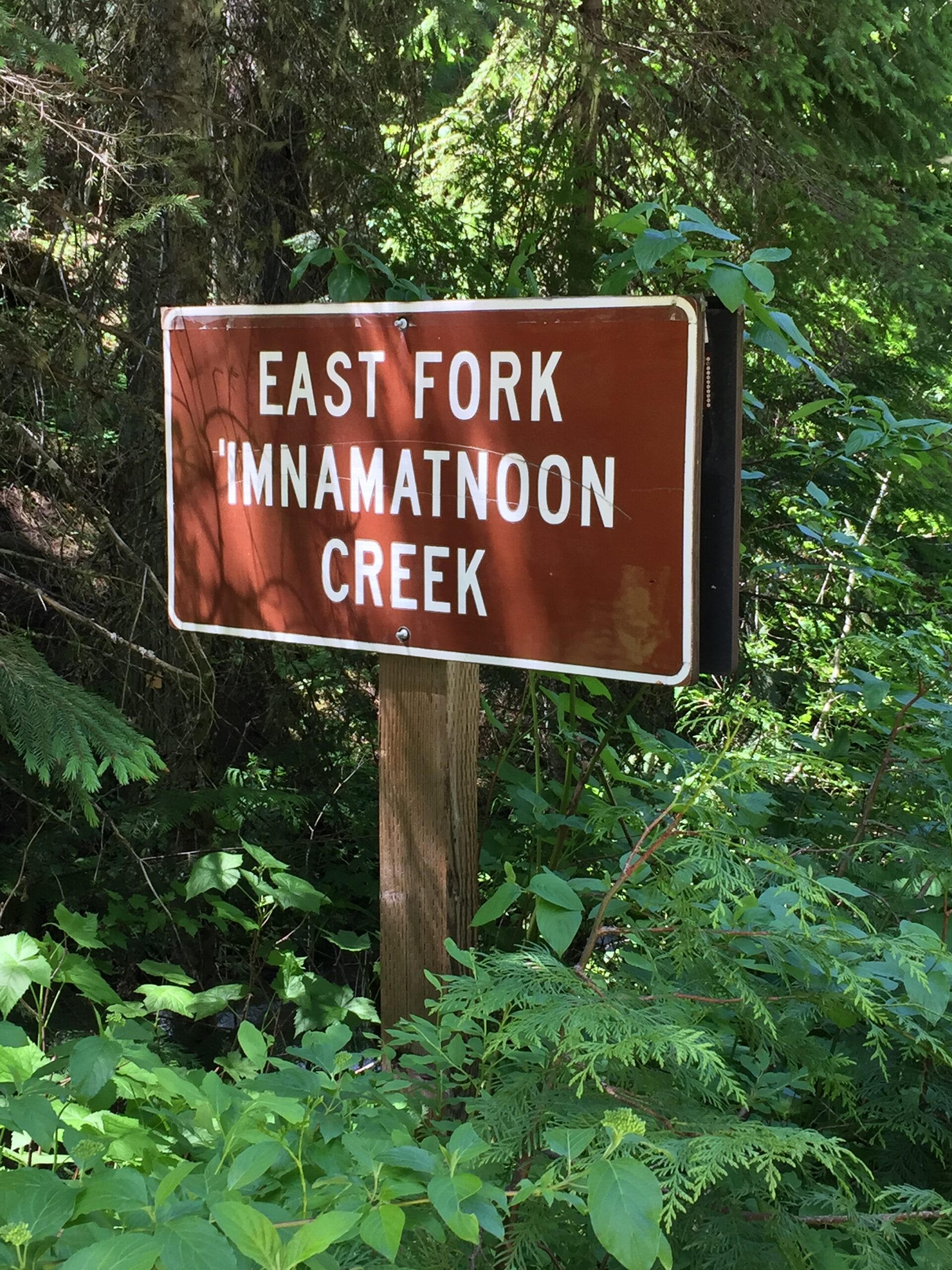
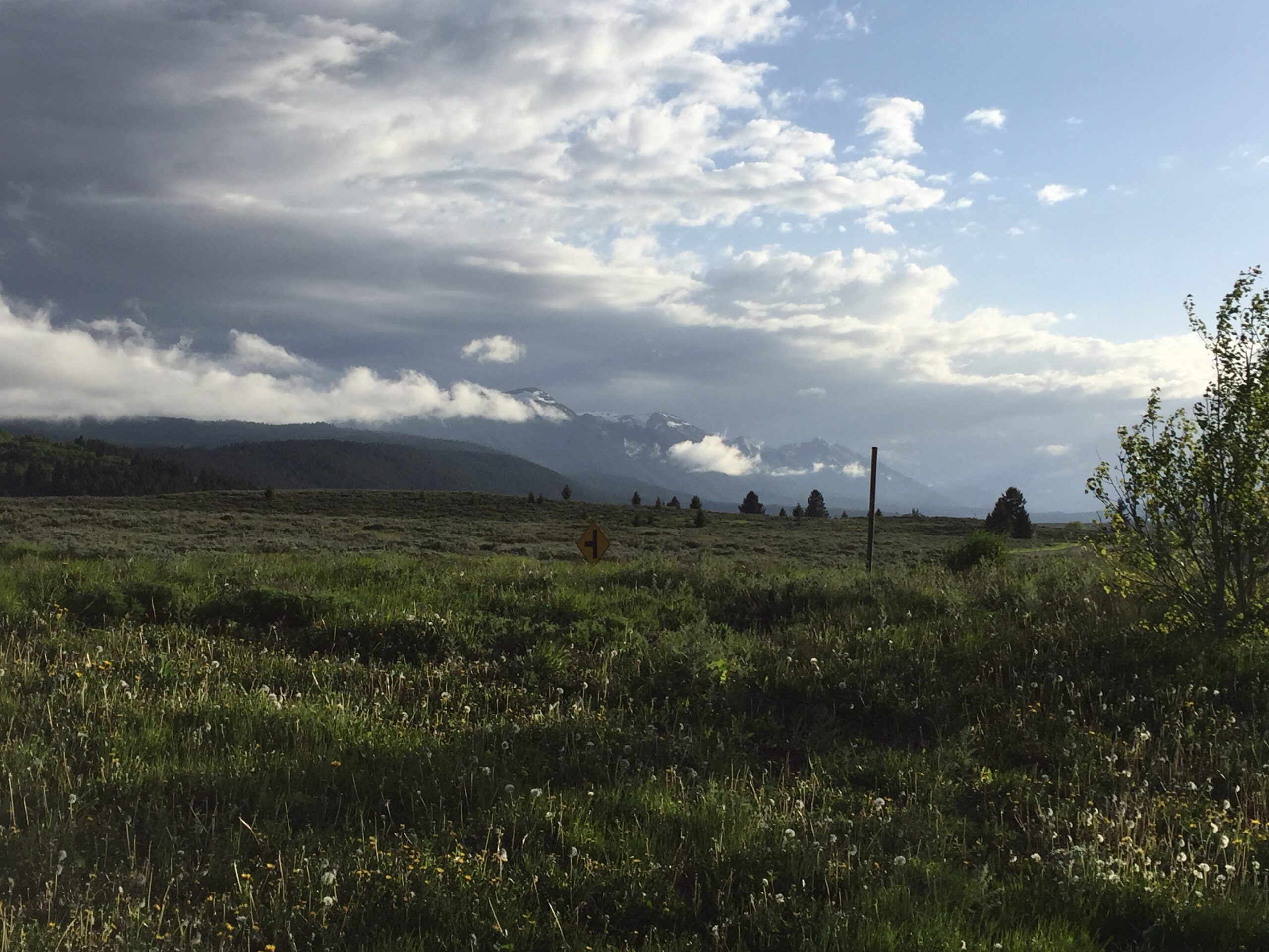
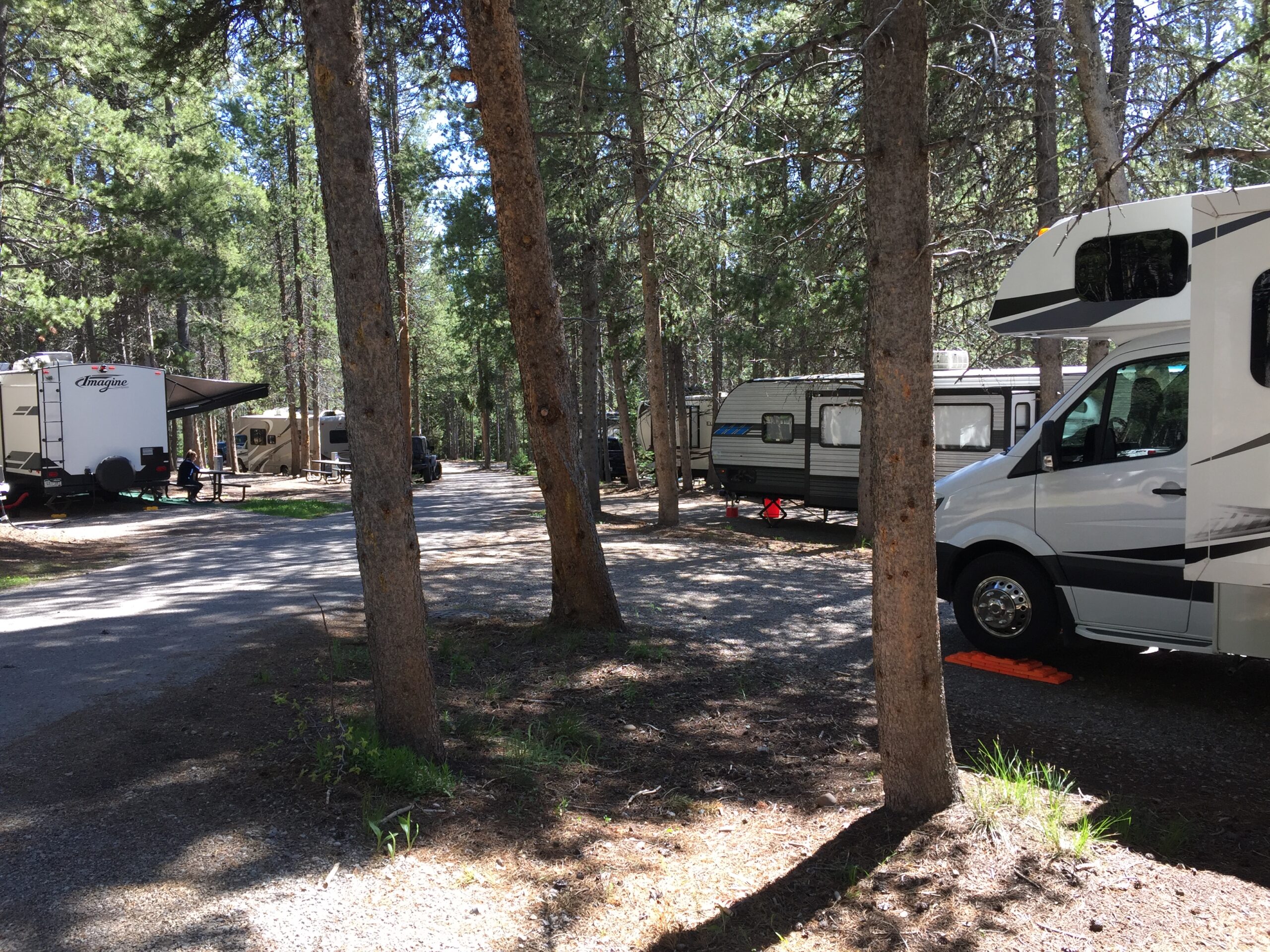
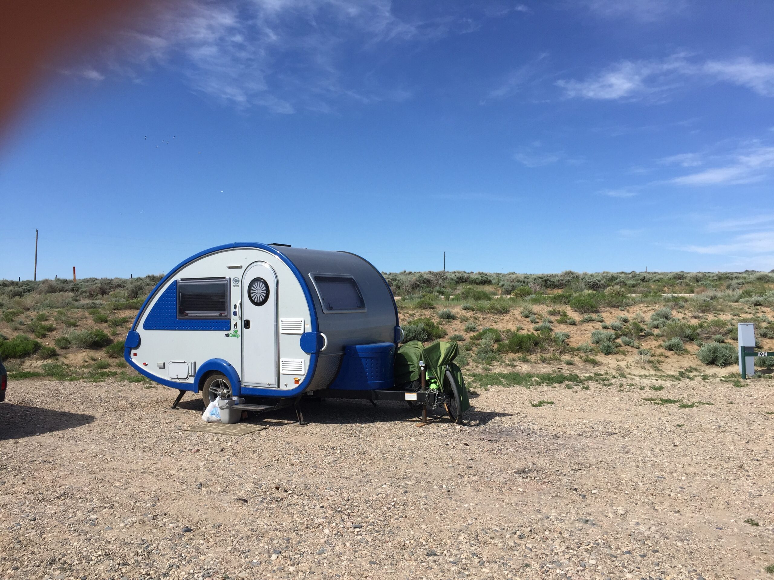
I was happy to find plenty of available campsites at Clyde Holliday State Park, along the John Day River just west of the town of John Day. I was surprised to find the park was beautifully landscaped and shaded, with well-spaced sites equipped with water and electric hookups. It had very much the look of a suburban recreational park (which is half of the park), but it also has this very nice campground. The only drawback? CLOUDS OF FIERCE, BLOOD HUNGRY MOSQUITOS. Ugh. My camper’s screens are not that great—one of my least favorite features of the T@b—and I was finally forced to close all the windows and keep the AC running almost all the time in order to keep the interior liveable.
But the campground had a more pleasant surprise for me. The first evening, just before dark, I saw a scurrying movement out my camper window. There, on the gravel path beside my camper, was a covey of California Quail, those comic little birds with the comma-shaped feathers sprouting out of their heads. I had my binoculars and was out of that camper before you could say SQUEEE! There were four adults (which I got to watch taking dust baths) and at least 14 downy baby chicks, scurrying around after tasty bits. I did think 14 was an awfully big brood, so I looked it up—while California Quail can have even larger broods, those youngsters were probably from more than one nest, gathered together in a crèche looked over by multiple adults. California Quail females have even been known to lay eggs in other females’ nests.
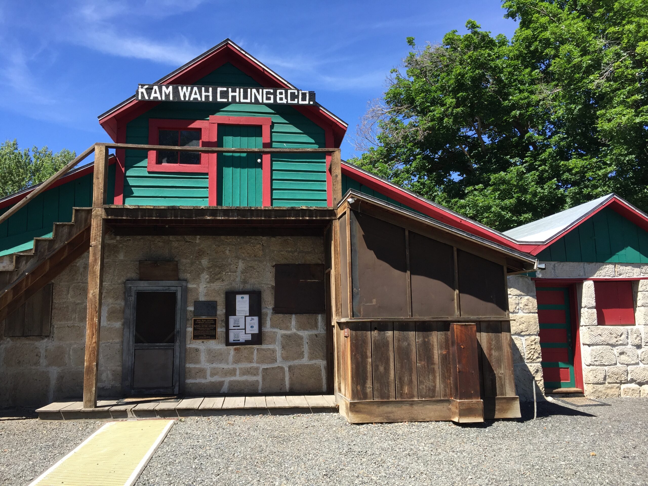
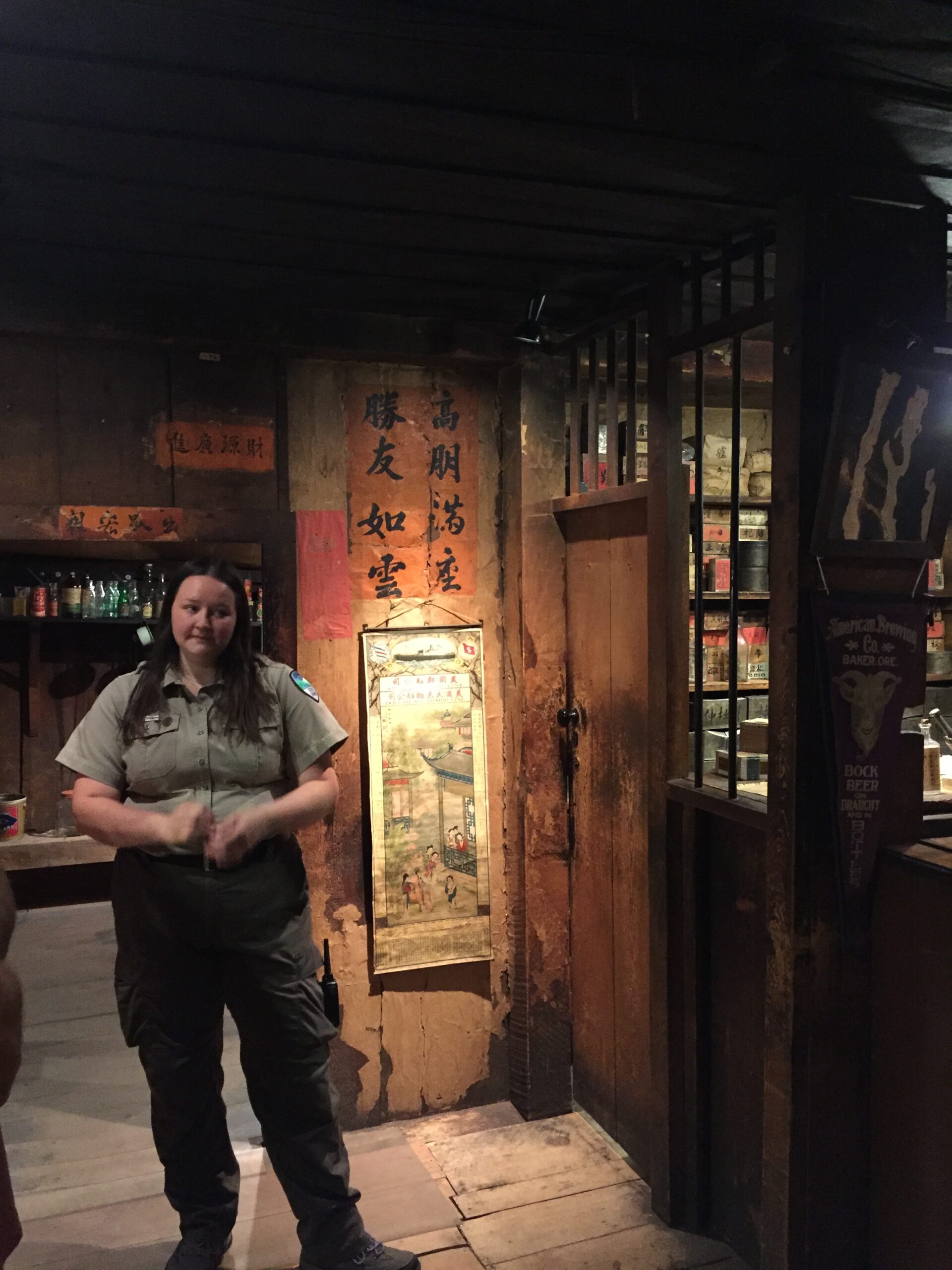
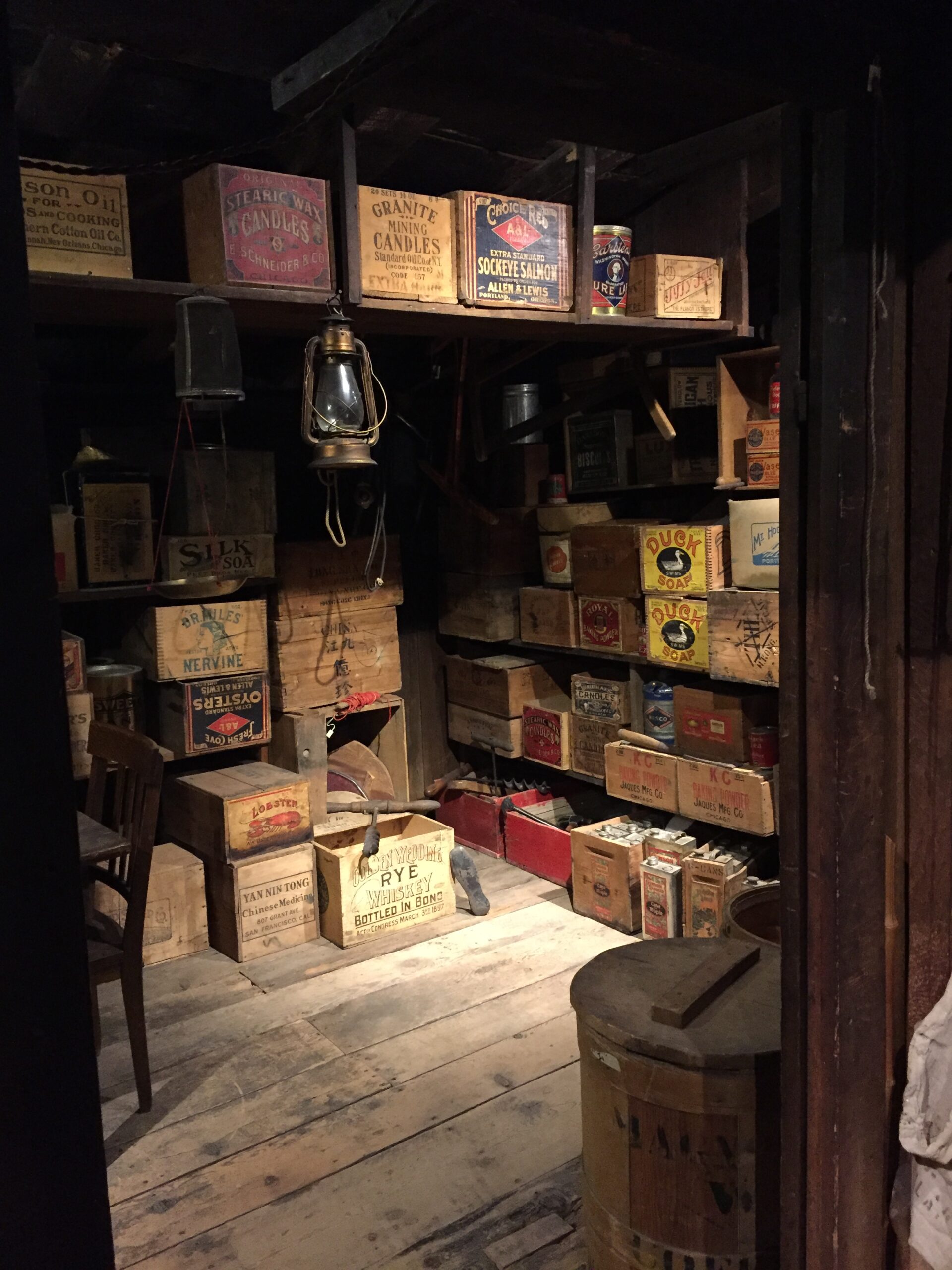
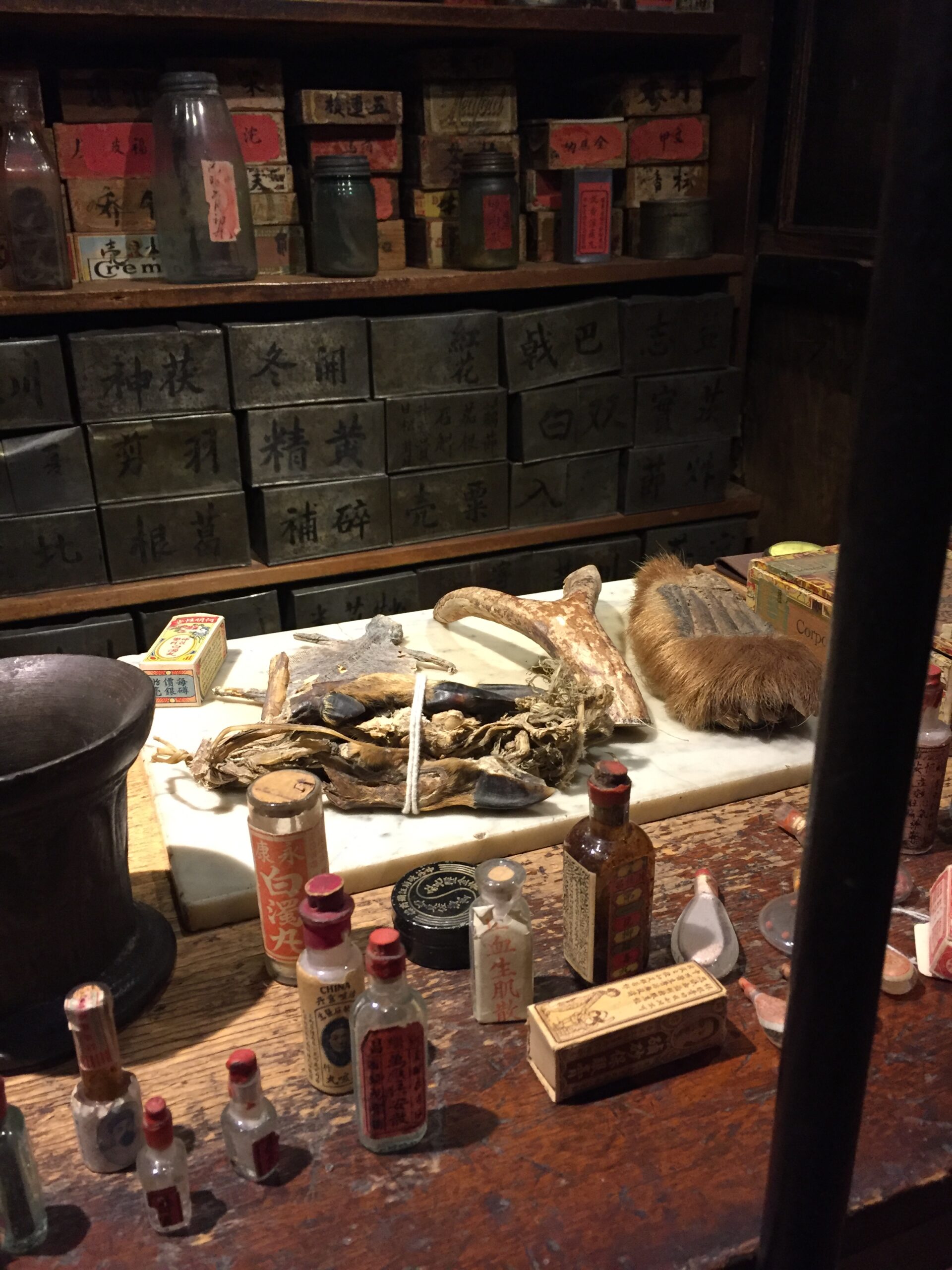
On Sunday, I headed back into John Day to see the Kam Wah Chung State Heritage Site, a busy Chinese general store, herbal apothecary, and community center in its day. The nearly hour-long tours are free, but limited to eight people at a time. Inside is a treasure trove of artifacts from the 1940s and earlier.
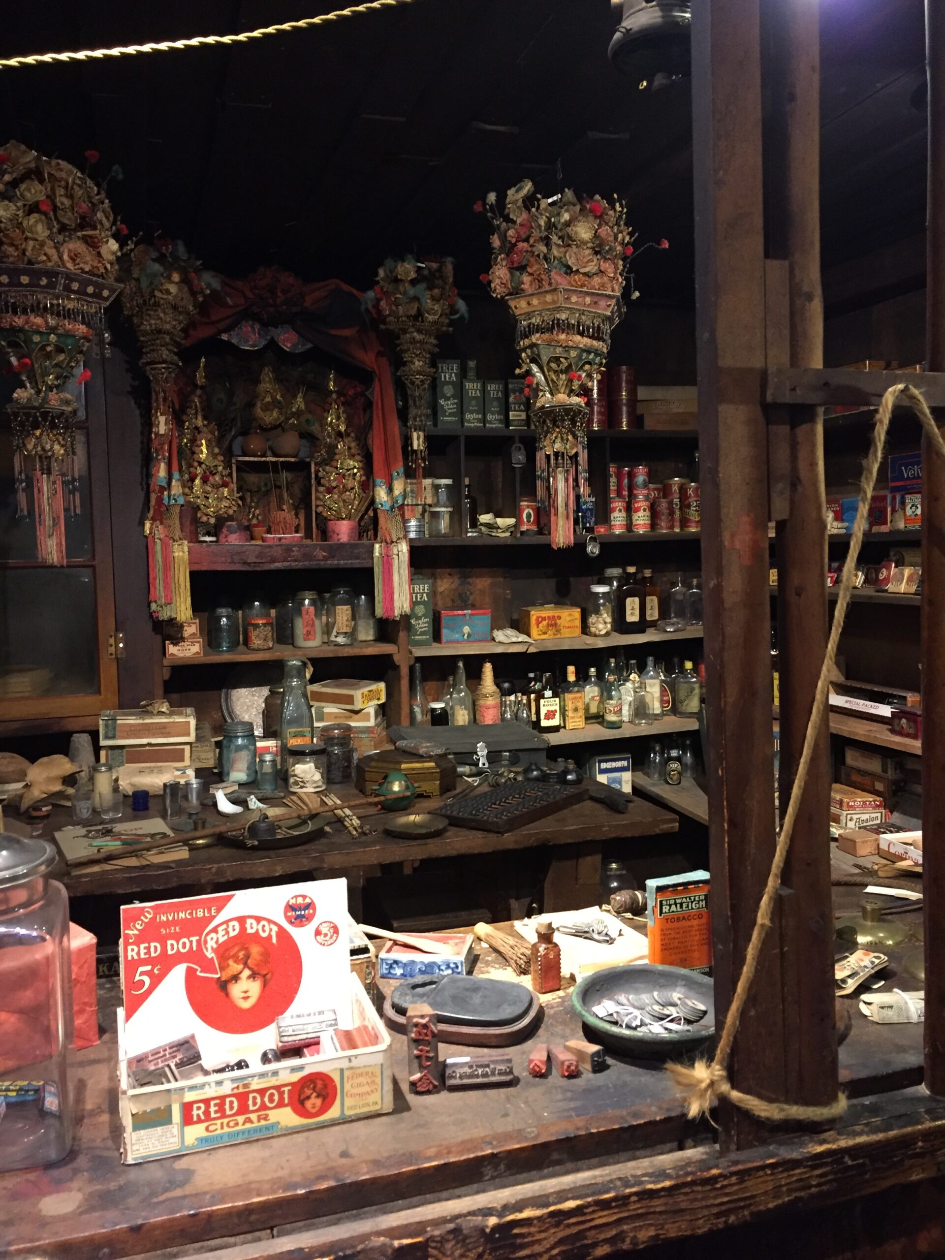
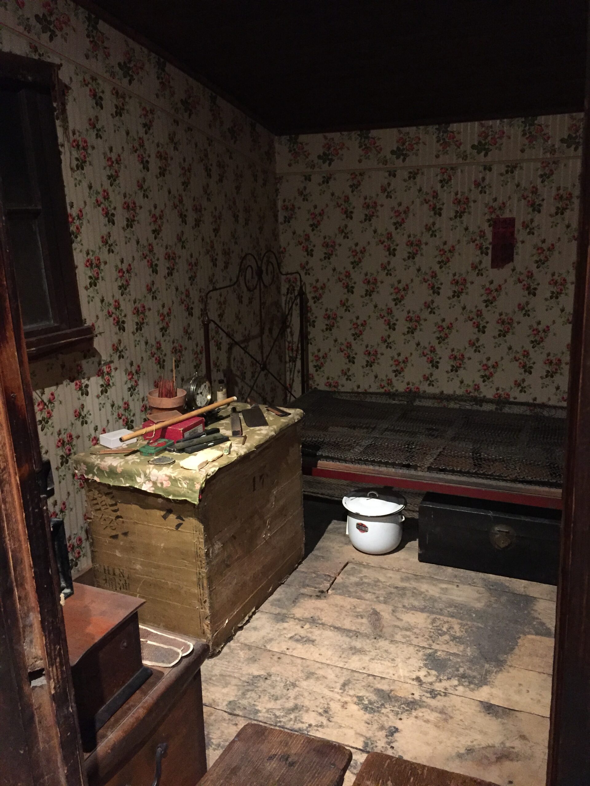
Front of store Lung On’s storeIng Hay’s bedroomGeneral store provisionsLung On was an excellent calligrapher, and painted many sayings around the storeStoreroomHousehold shrine
Kam Wah Chung has been translated variously as “Golden Flower of Prosperity” or “Golden Chinese Outpost”—the latter is currently accepted as most accurate. The small stone building was originally constructed in 1865 as a military fort, but was leased by Lung On and Ing (‘Doc’) Hay in 1887, and it quickly became the center of a bustling Chinatown. Lung On was a savvy businessman, and Ing Hay, despite never learning to speak or write English, became respected as a healer well beyond the Chinese community. So when the Chinese population dwindled after the gold boom ended, both men stayed. Lung On left the building and business to Ing Hay when he died. Years later, Ing Hay left to receive medical treatment in Portland, locked the building and left his nephew instructions to watch over it. He never returned. Thus, the interior stayed almost untouched until the property was sold to the town and later turned into a museum. Their whole story is one of success and respect gained against all the odds, in a time when anti-Chinese sentiment ran strong.
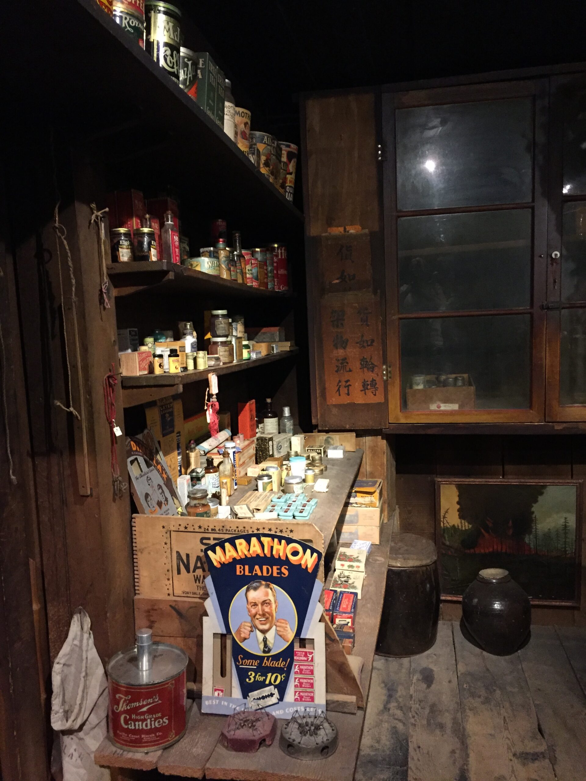
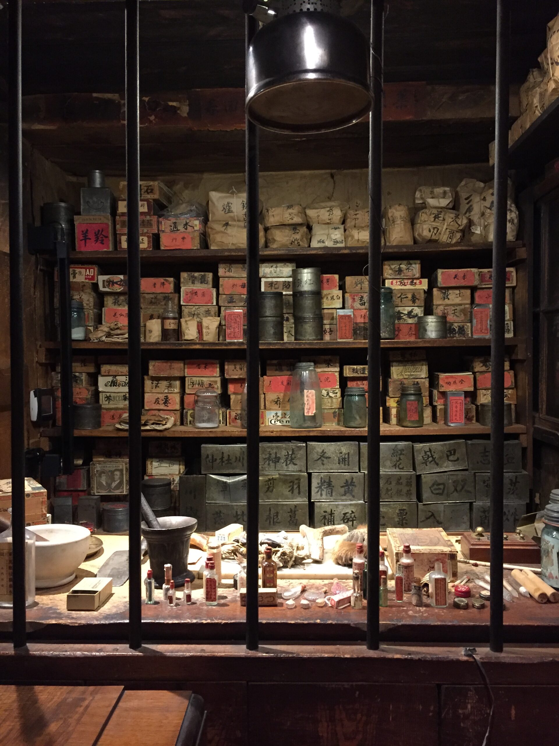
The Chinese apothecary left by Ing Hay is fascinating. It is the largest collection of Chinese herbal medicine in the United States, and it has been completely cataloged by the Oregon College of Oriental Medicine. Those archives, complete with Ing Hay’s handwritten prescriptions and a listing of all of the raw ingredients found at the site, can be seen in the Kam Wah Chung Medical Archive at www.kwc.ocom.edu.
Ing Hay’s tiny dispensary, crammed full of over 500 herbal medicinesIngredients in the dispensary included bear’s gallbladder, deer antlers, and flying squirrel dung
The elderly greeter, a retired forest ranger, even showed me some of the artifacts found by residents and give to him over the years, including miniscule single-dose medicine bottles, intricately decorated perfume and snuff bottles, and even an unusual bronzed and carved small gourd, a good luck charm.
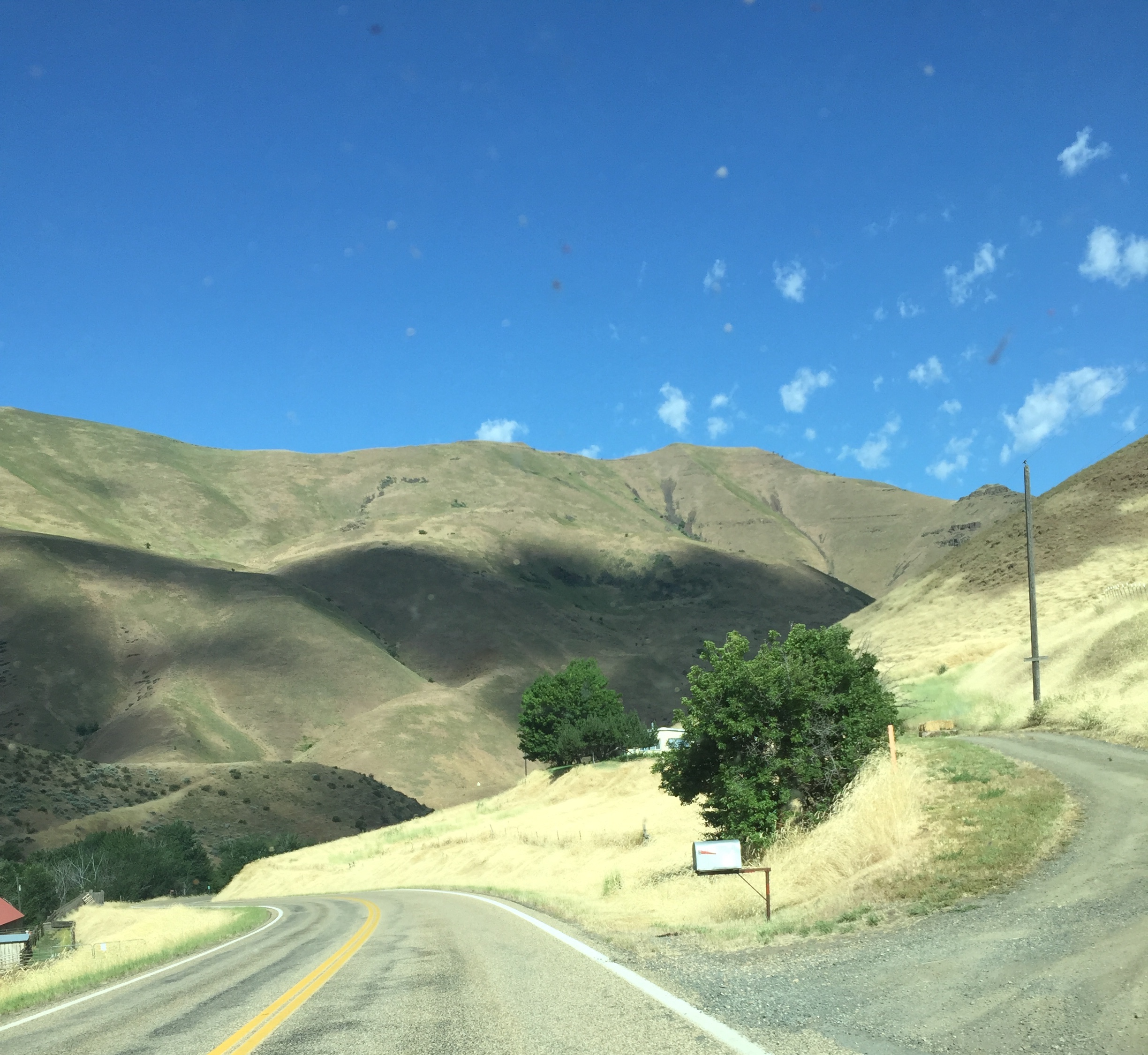
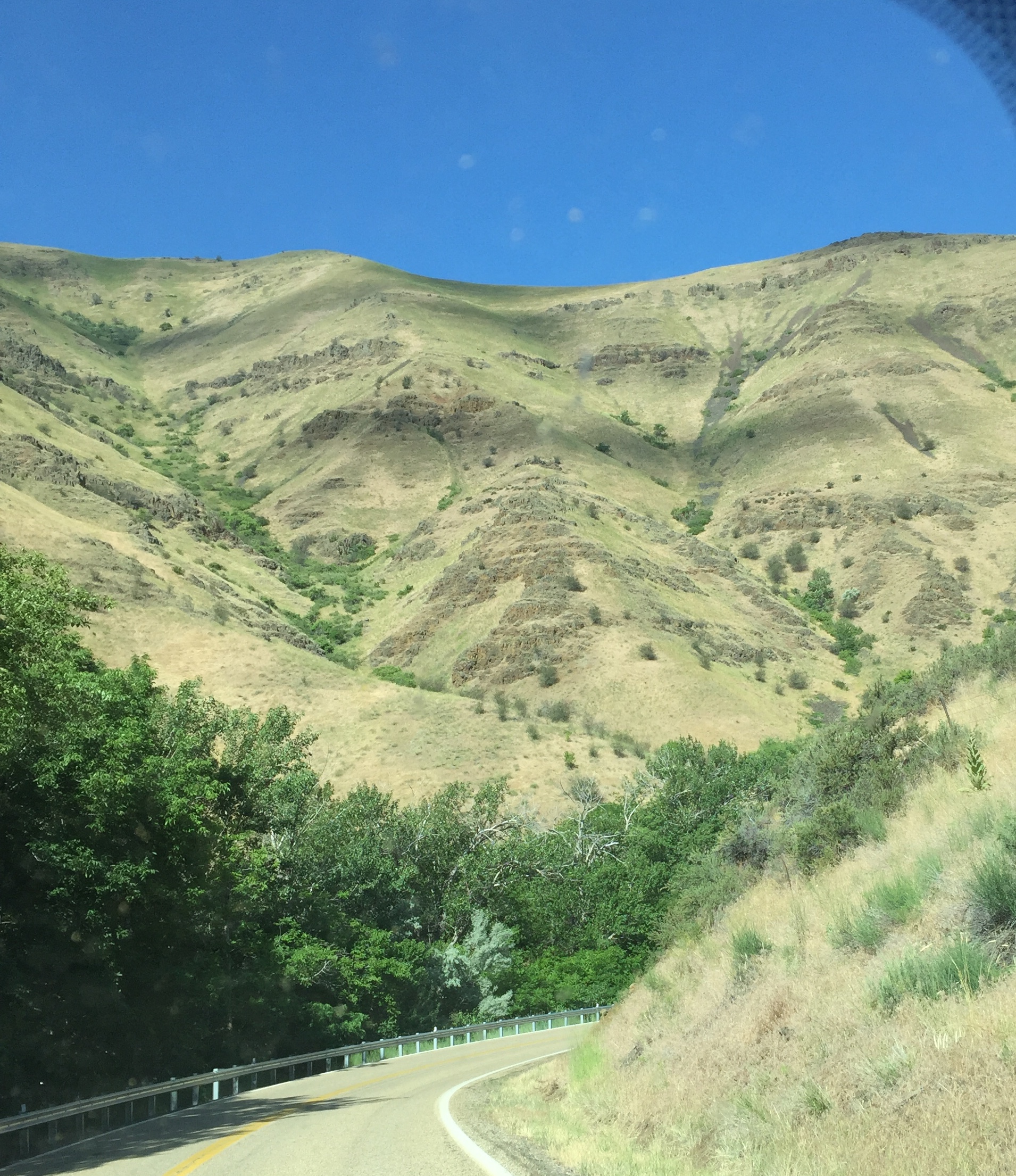
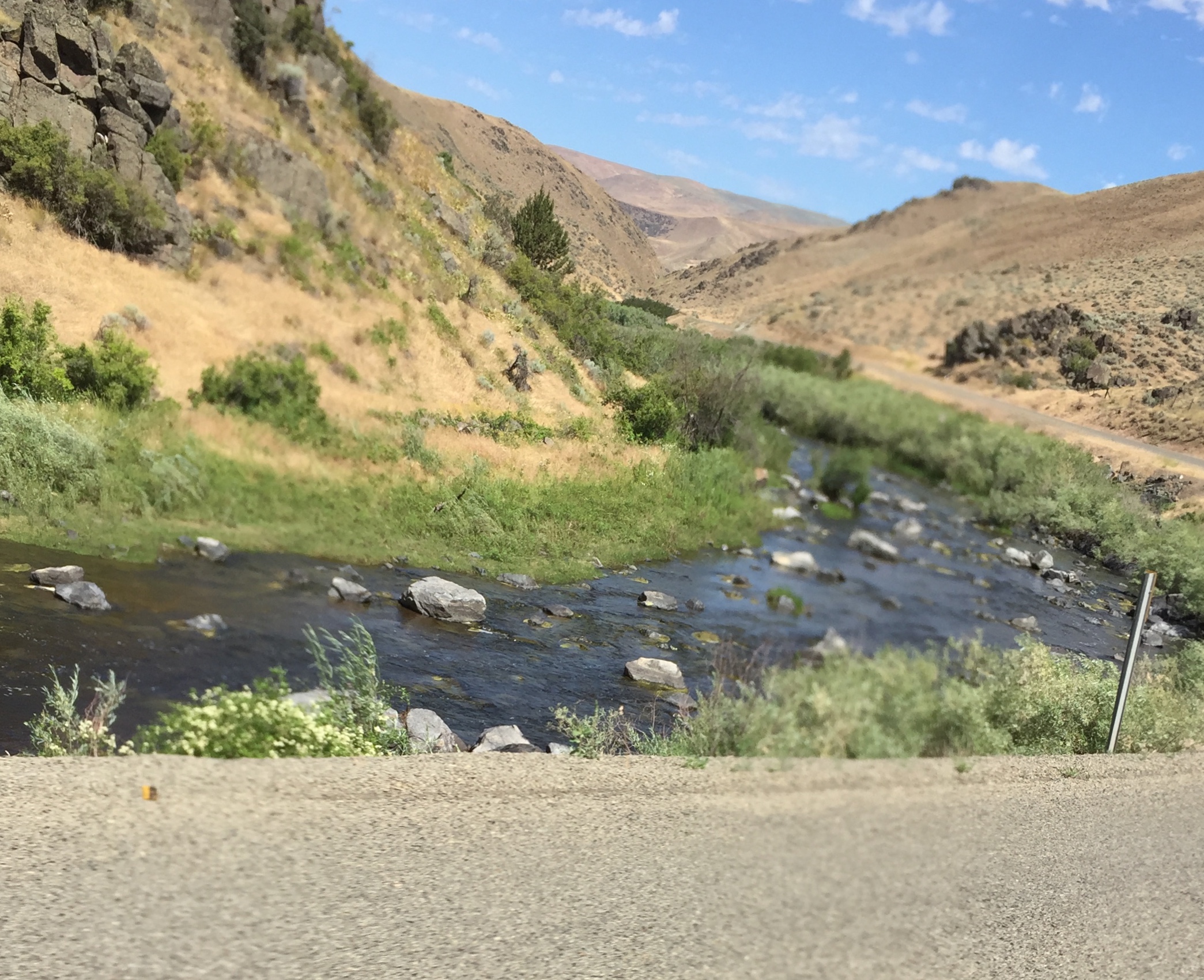
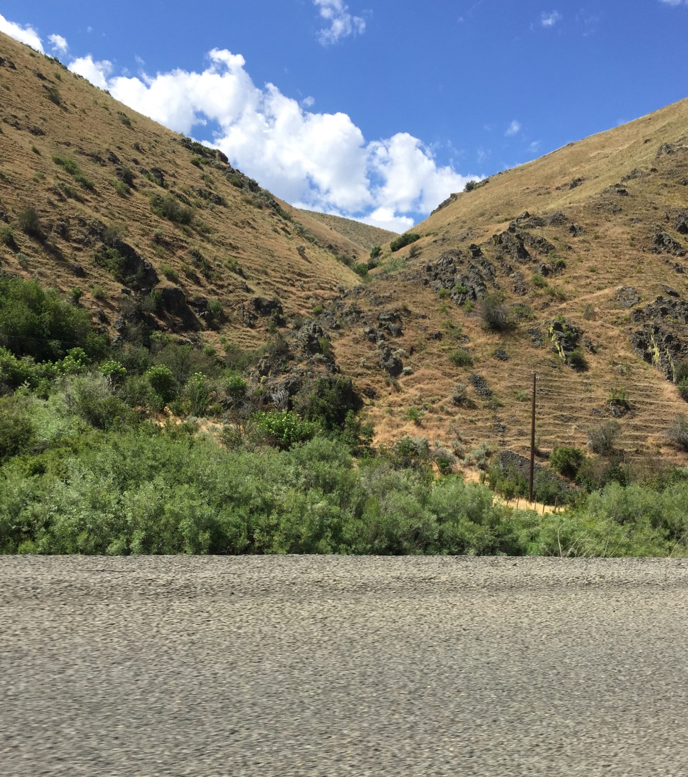
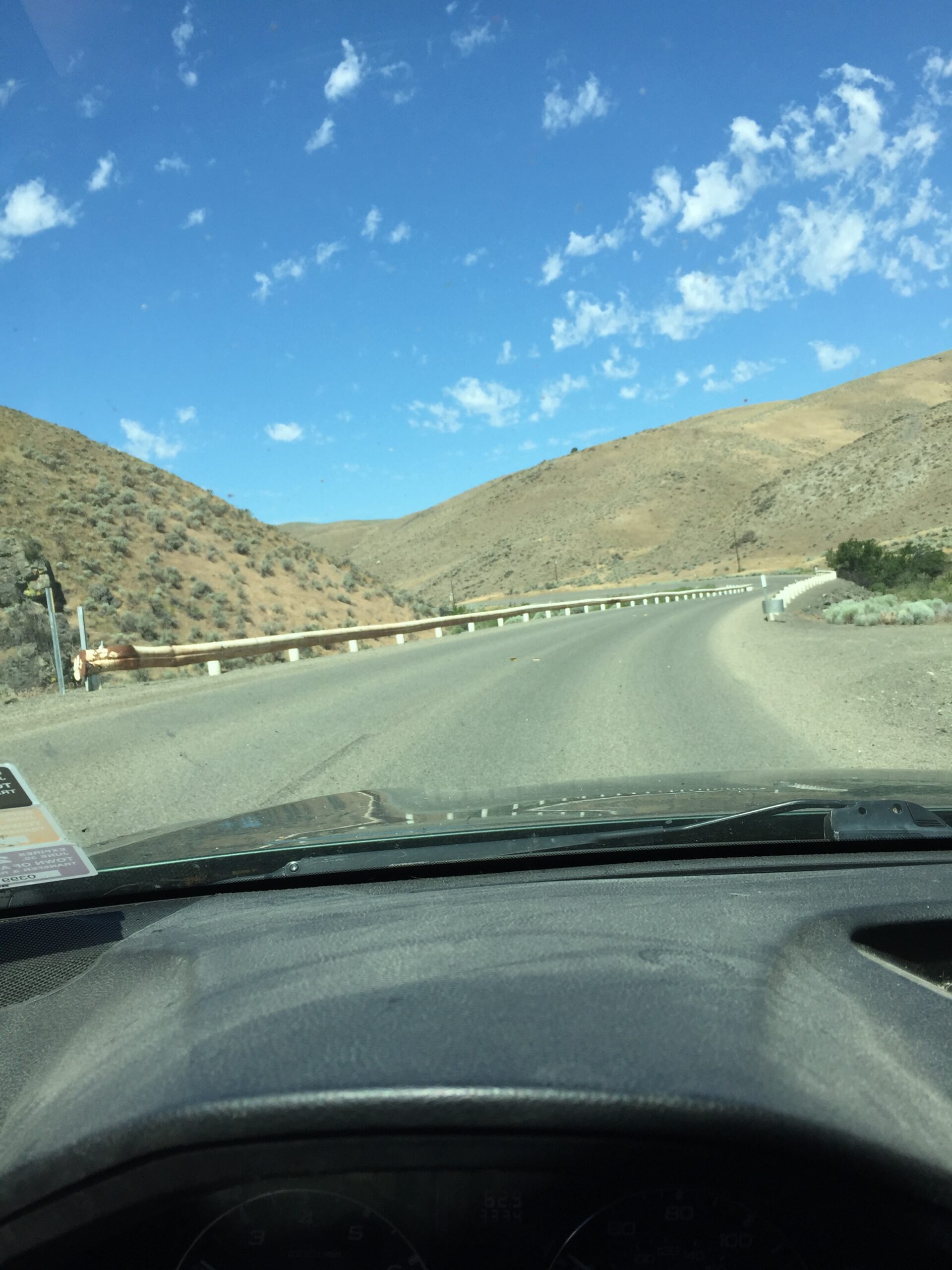
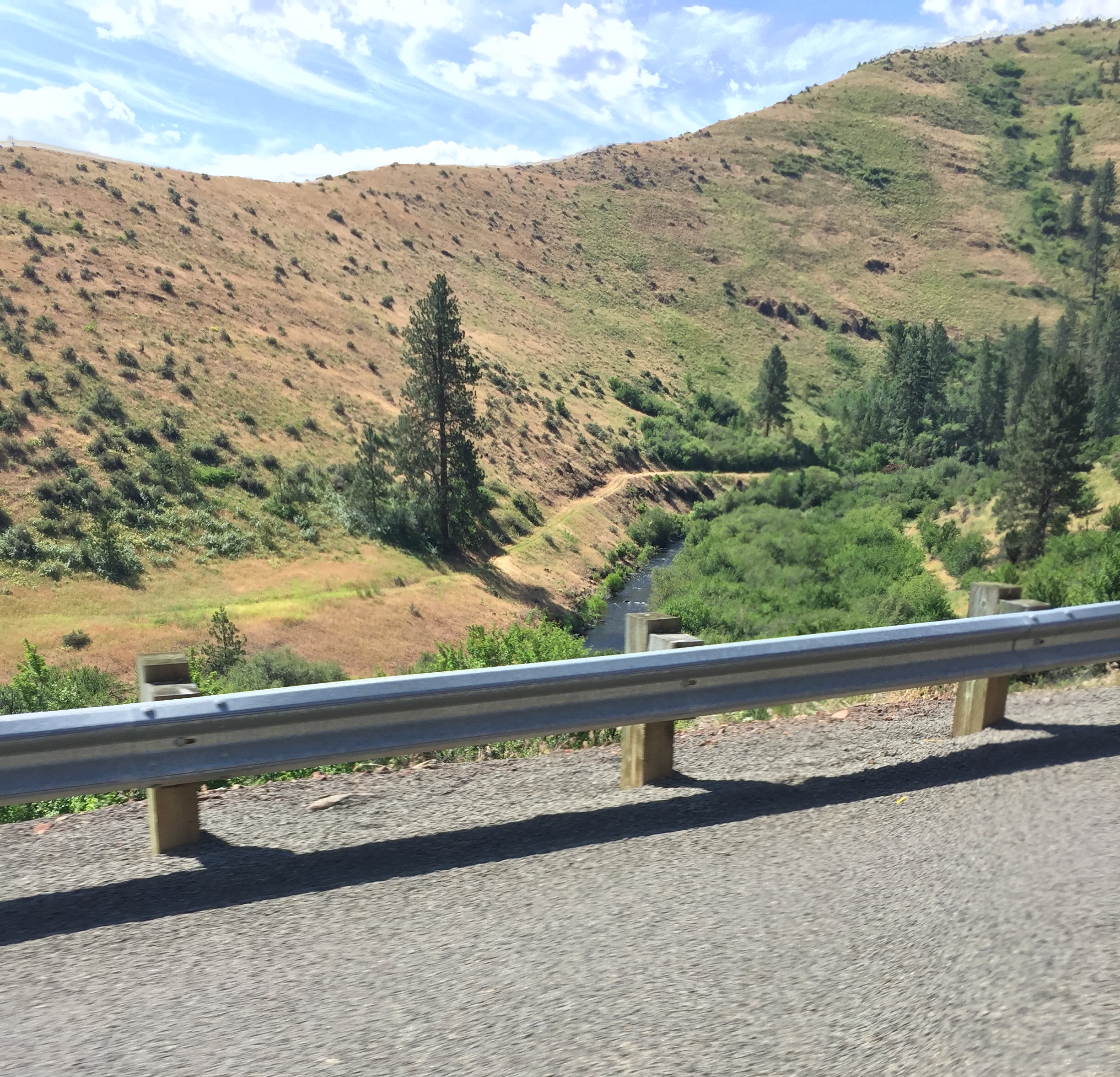
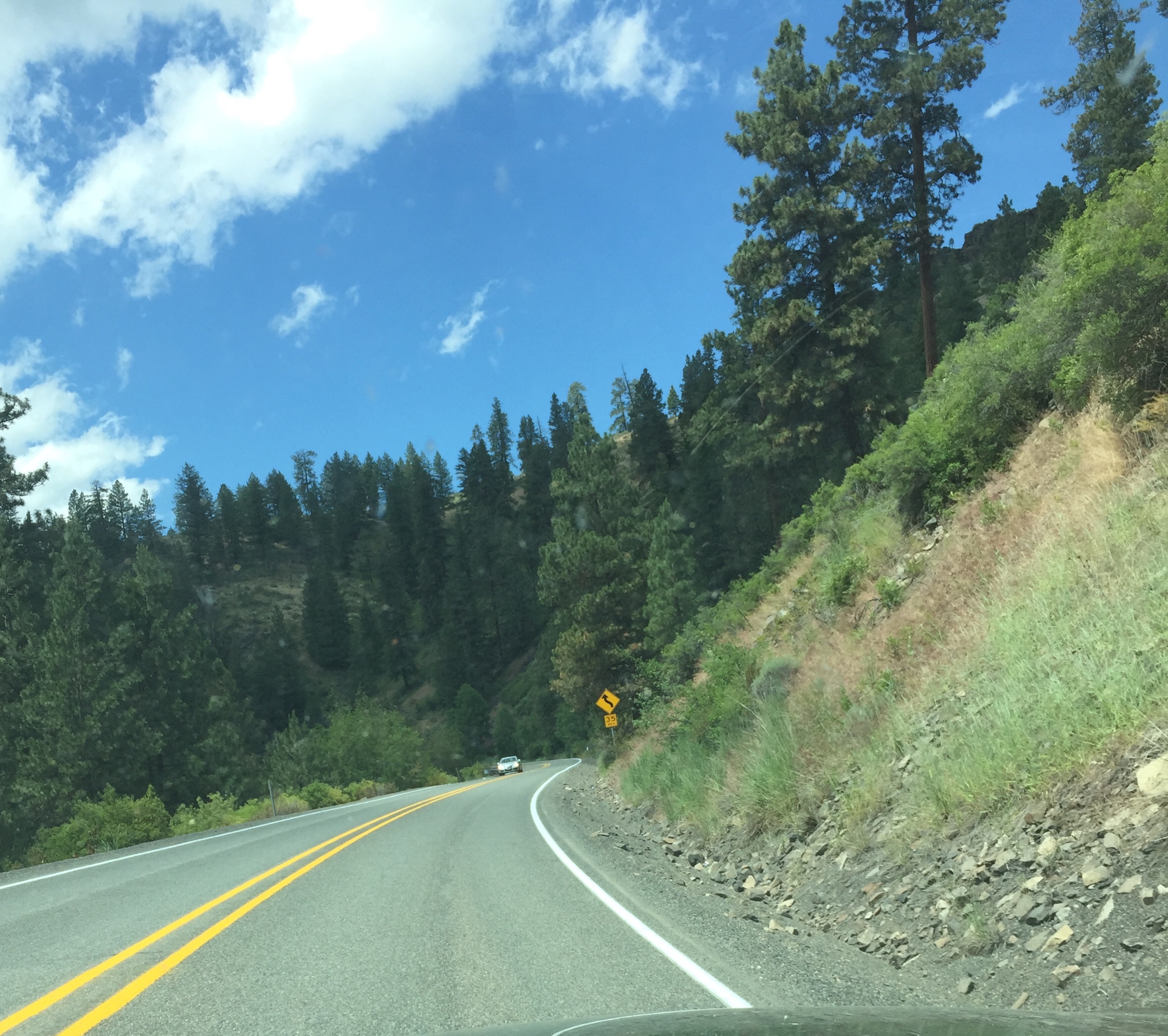
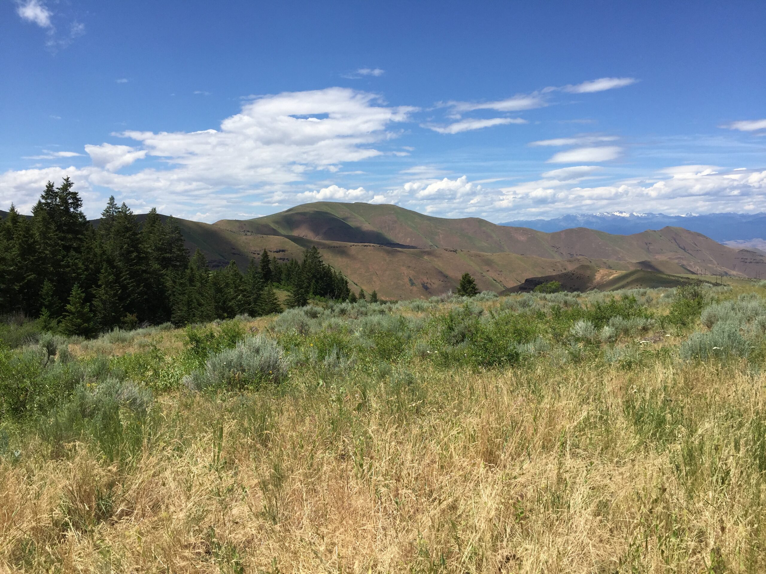
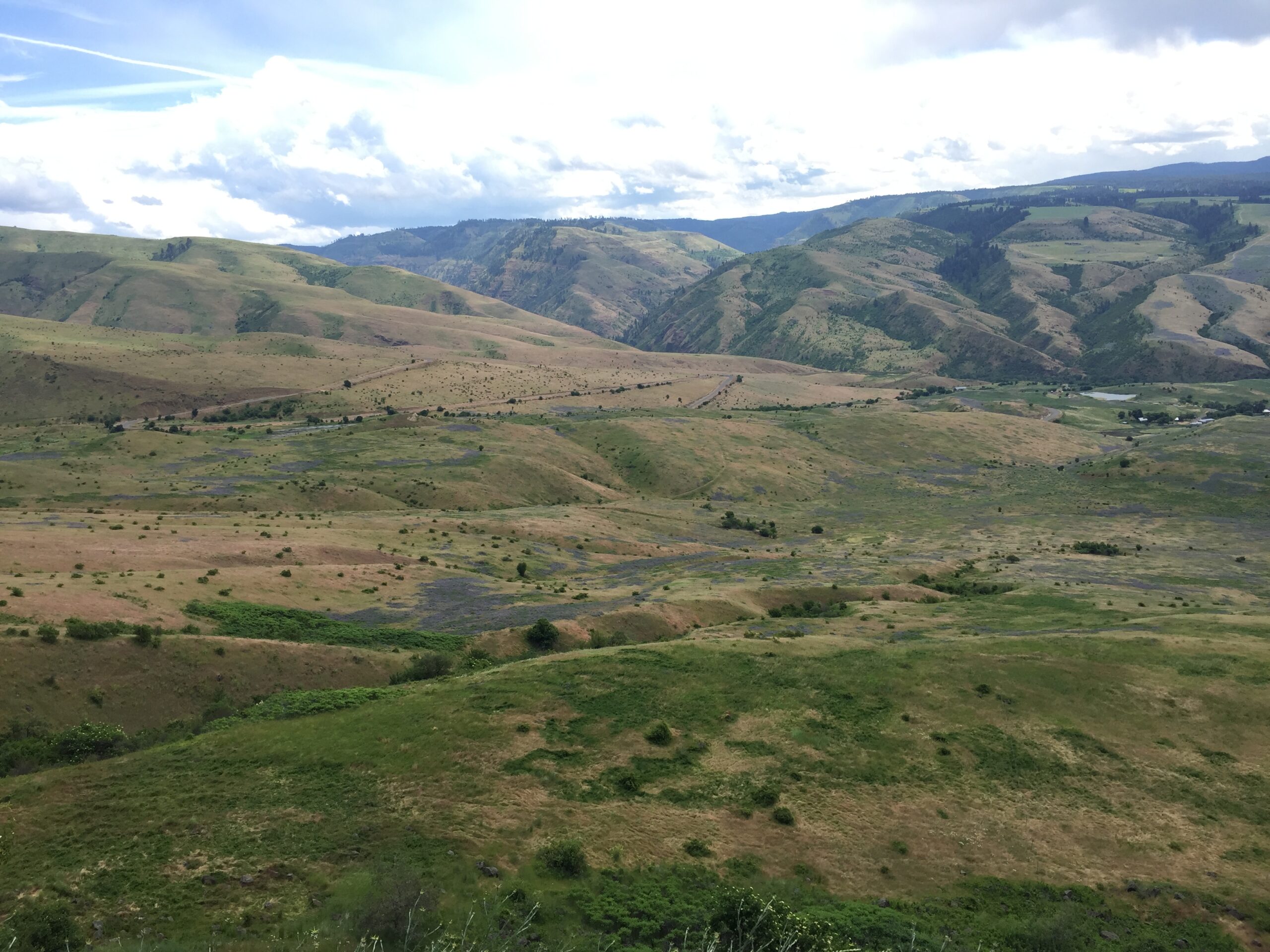
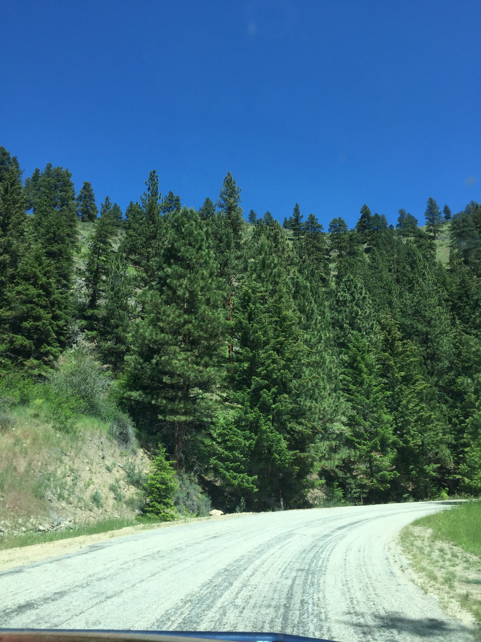
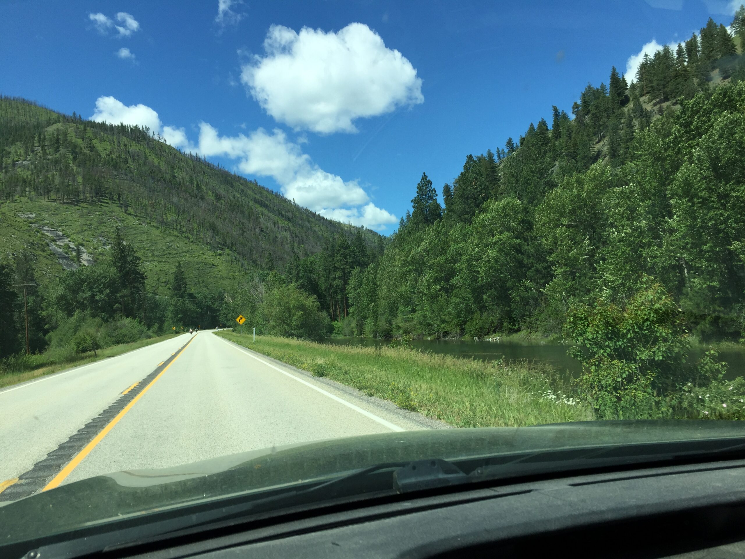
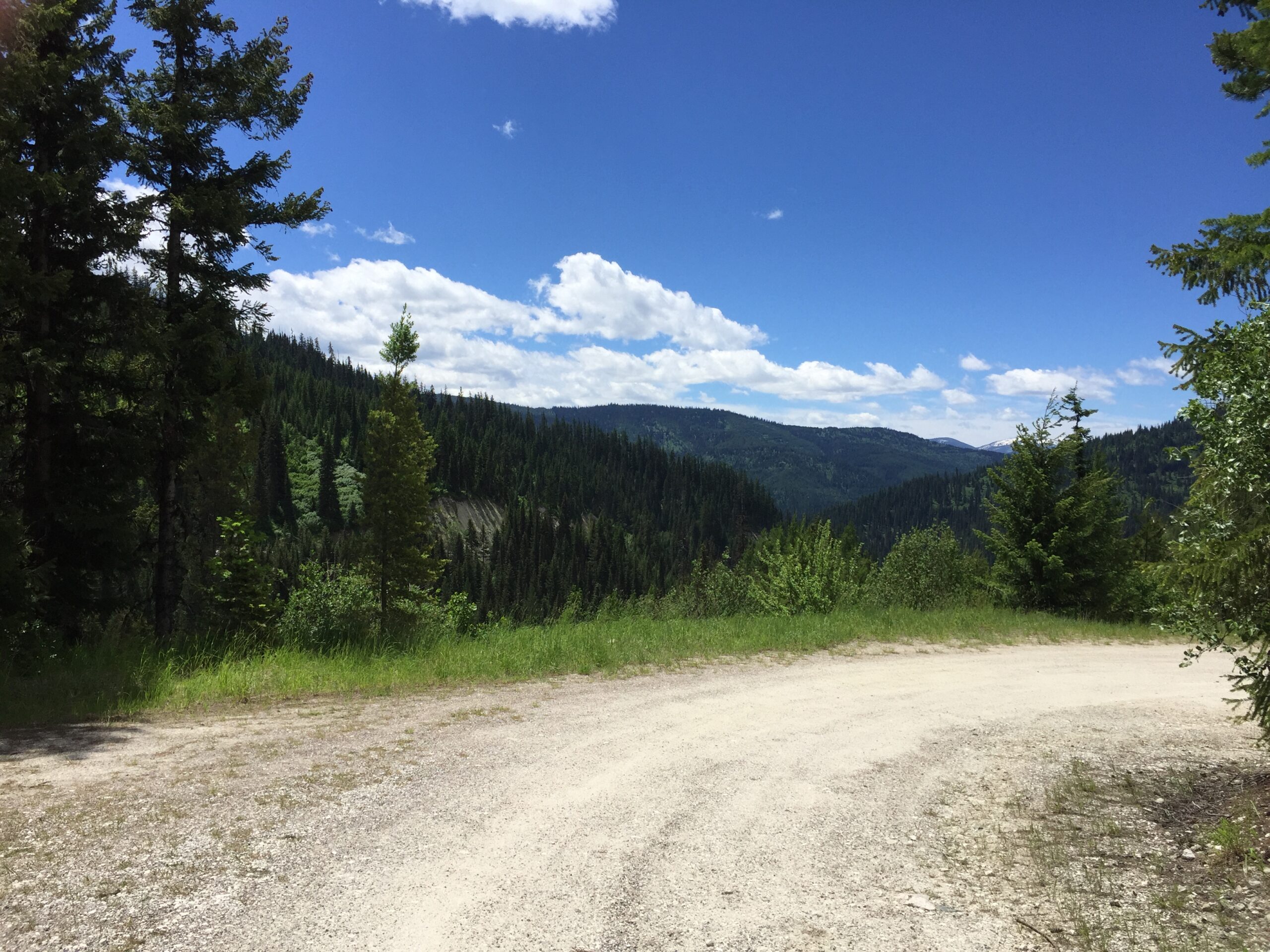
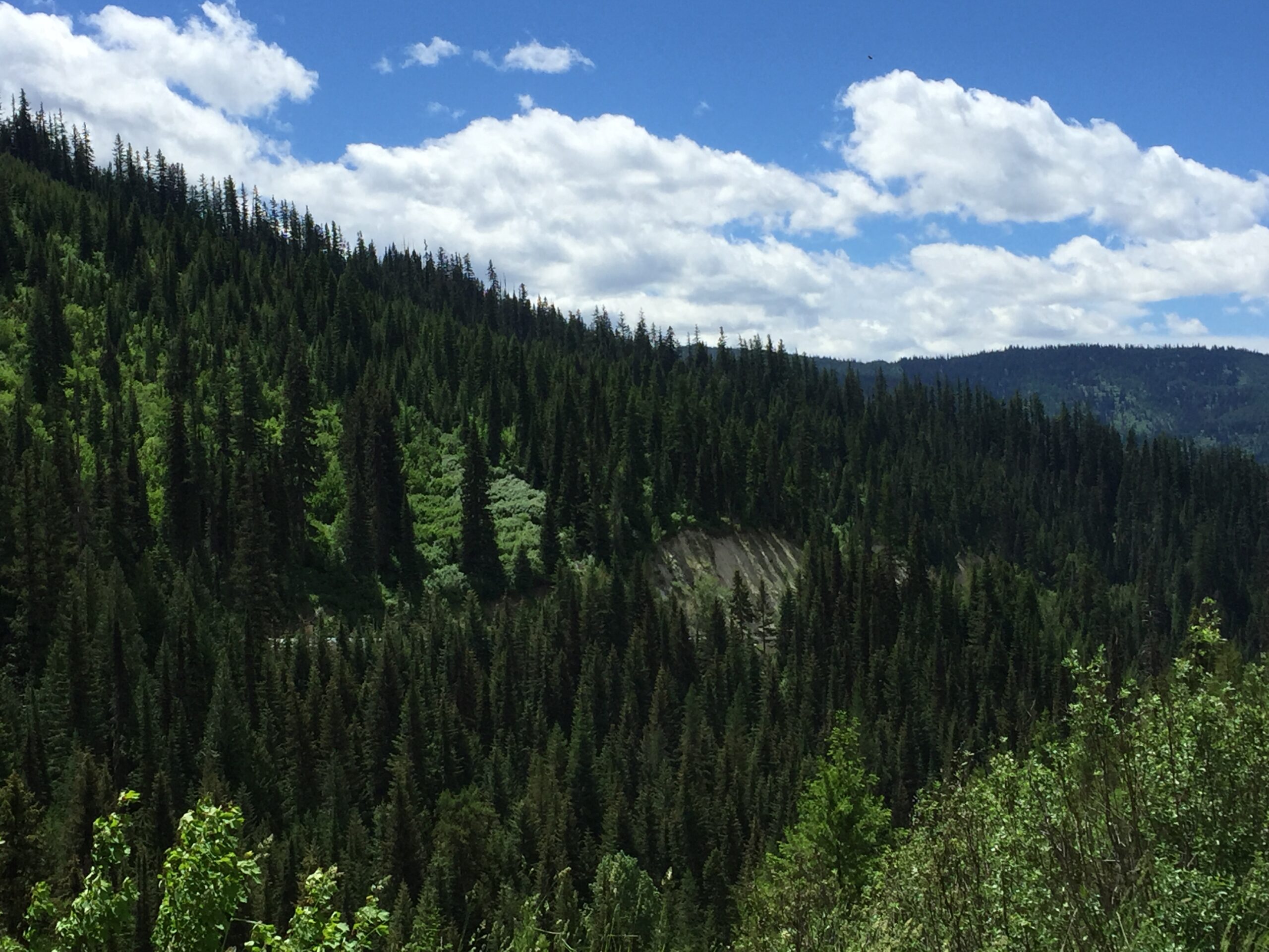
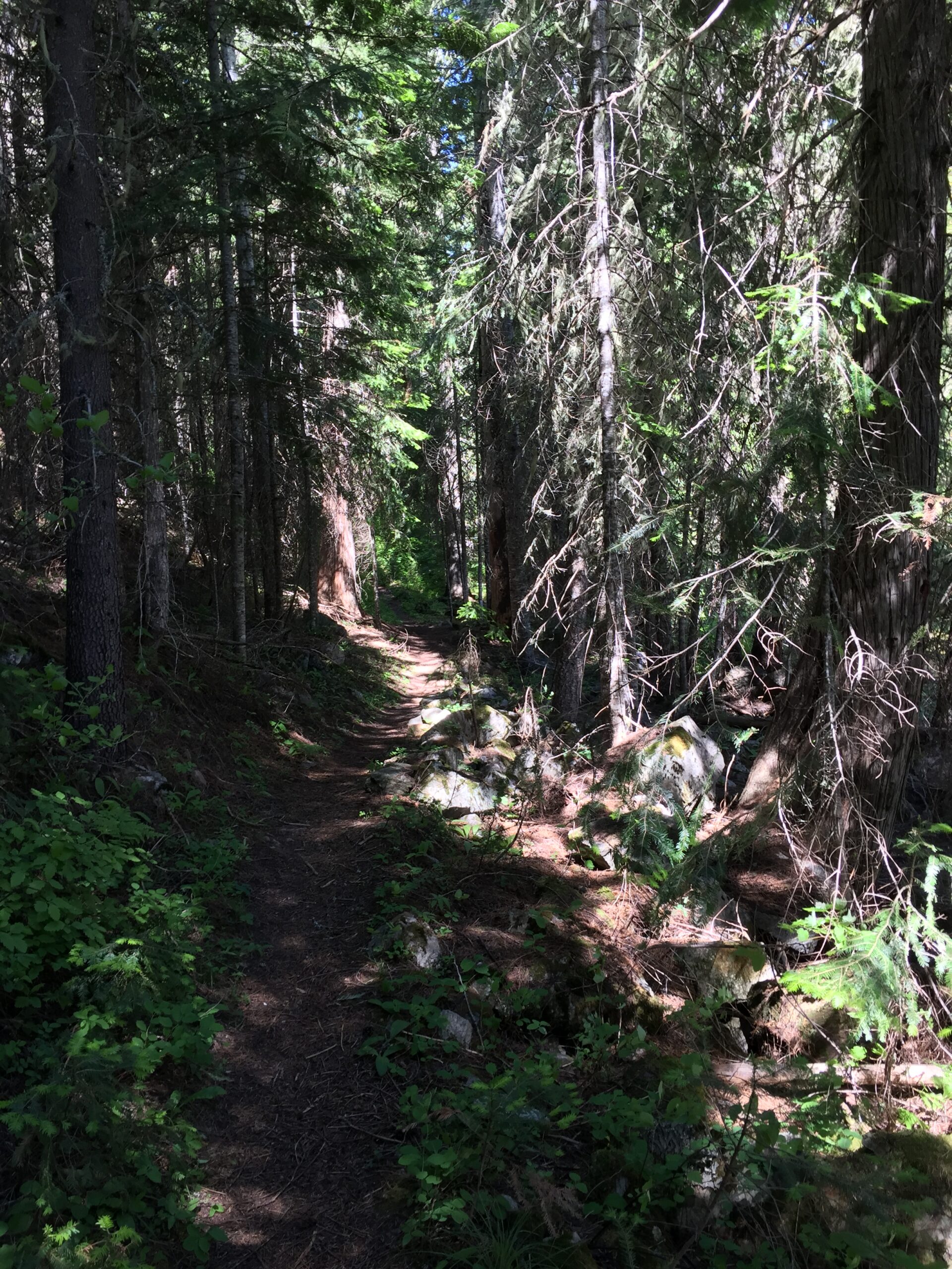
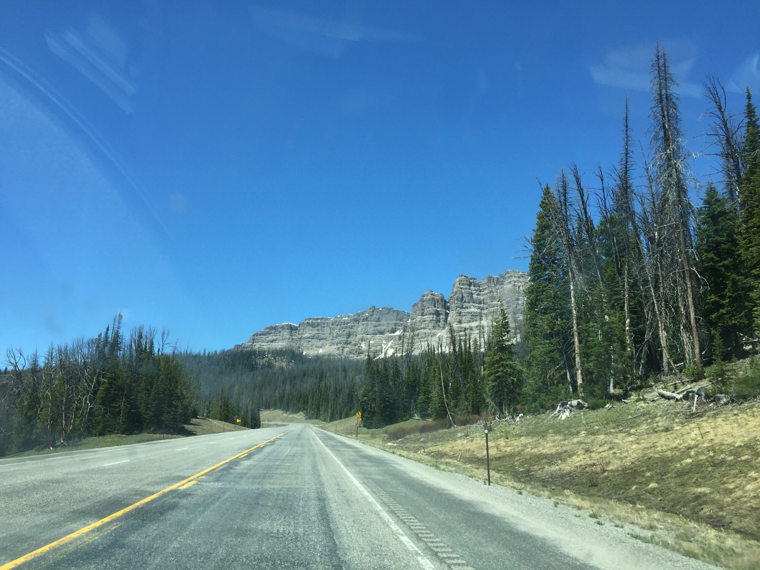
WHITEBIRD to Brownlee Campground, down 95 along the Salmon and Little Salmon Rivers. Oh, that Salmon River Valley! Steep hillsides swoop down on either side, their evergreen-crowned summits giving way to open, wildflower paved lower slopes. Sometimes the hills swoop across, only to knuckle under and end abruptly in a ribbed knob, like the paws of some gigantic beast.
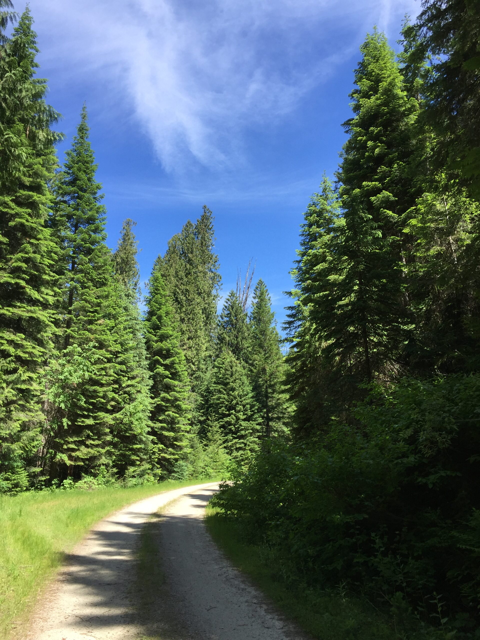
In Council I found a really well stocked grocery, where I replenished my dwindling supplies. The road turns slightly west from there, leaving the river valley and running through a broad valley, then up into drier, broadly hilly terrain. The last few miles toward Brownlee follow state route 71, a twisty, winding road that descends toward the Brownlee Dam. The campground lies a few miles above the dam, along a small creek under towering ponderosa pines, with their deeply etched bark. I am nearly alone at the campground, as the holiday weekend is over.
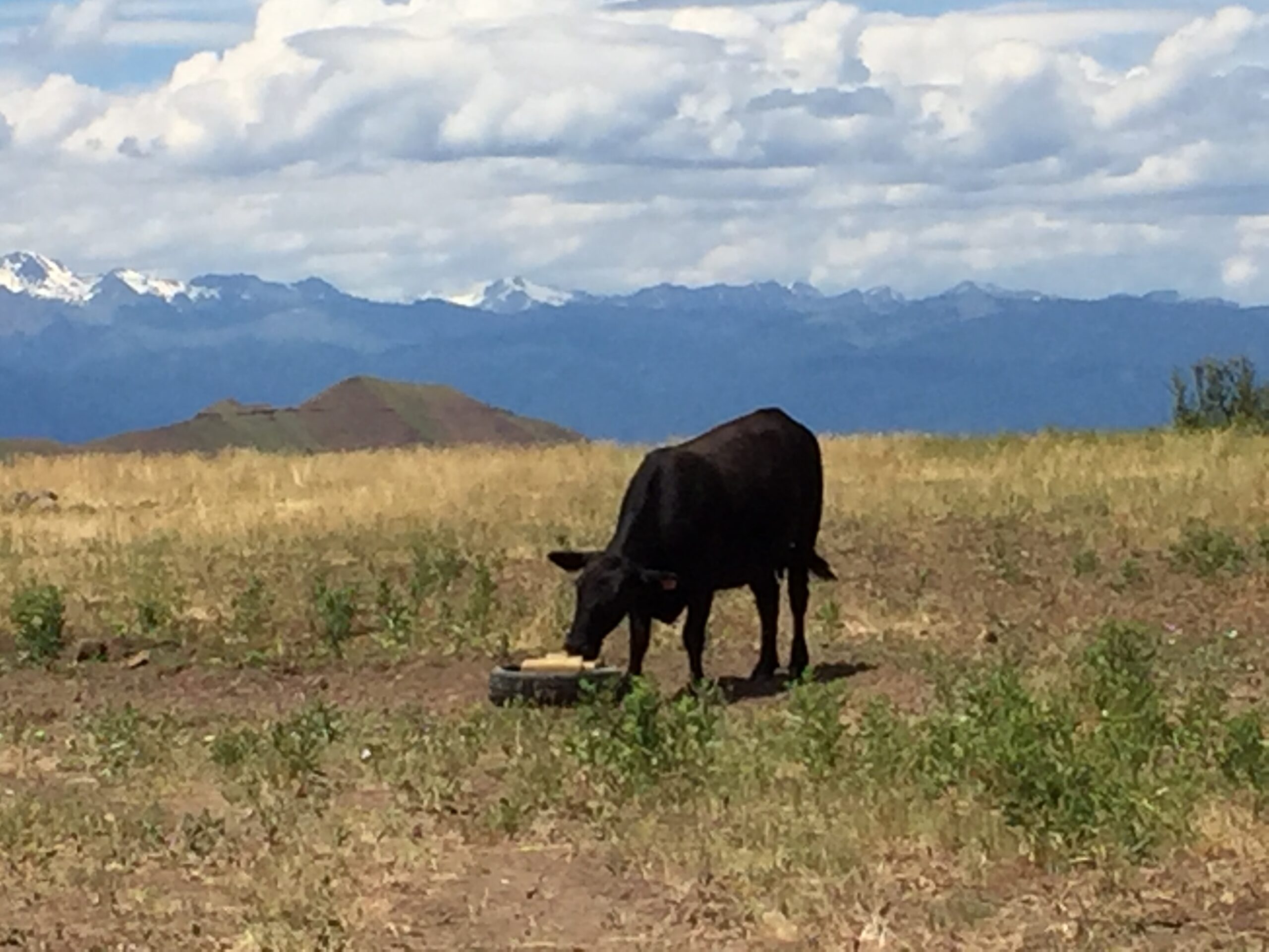
However, that isolation included no cell service, and I needed to let Russ know where I was. At the recommendation of the camp rangers, I headed back the way I’d come. Before I found a cell signal, I passed a wildlife management area and decided to take a look. The dirt road passes through open grazing land, up to some spectacular views of the mountains to the north. But no cell signal.
Maam, do you even see where you are?Vista minus cow
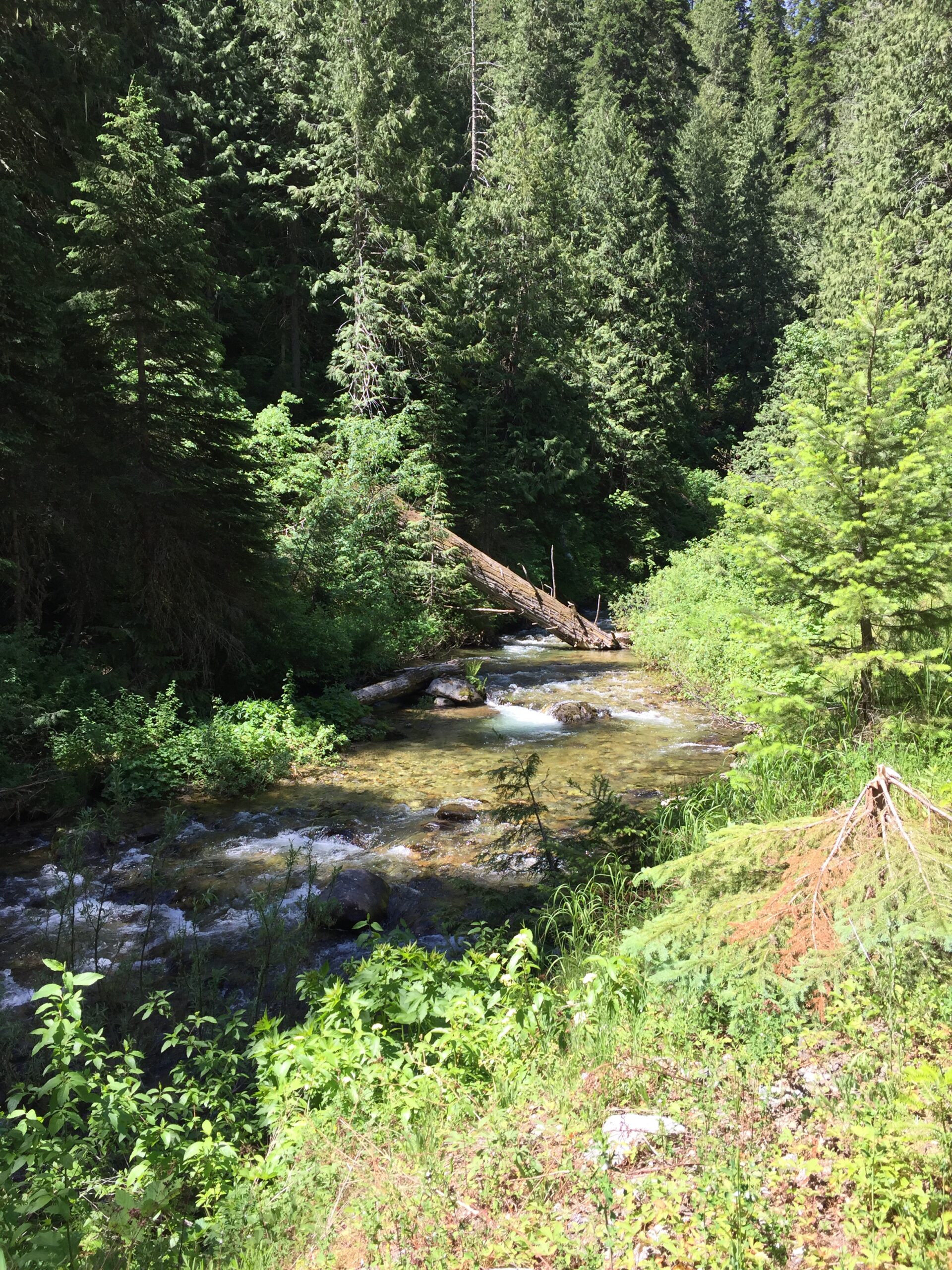
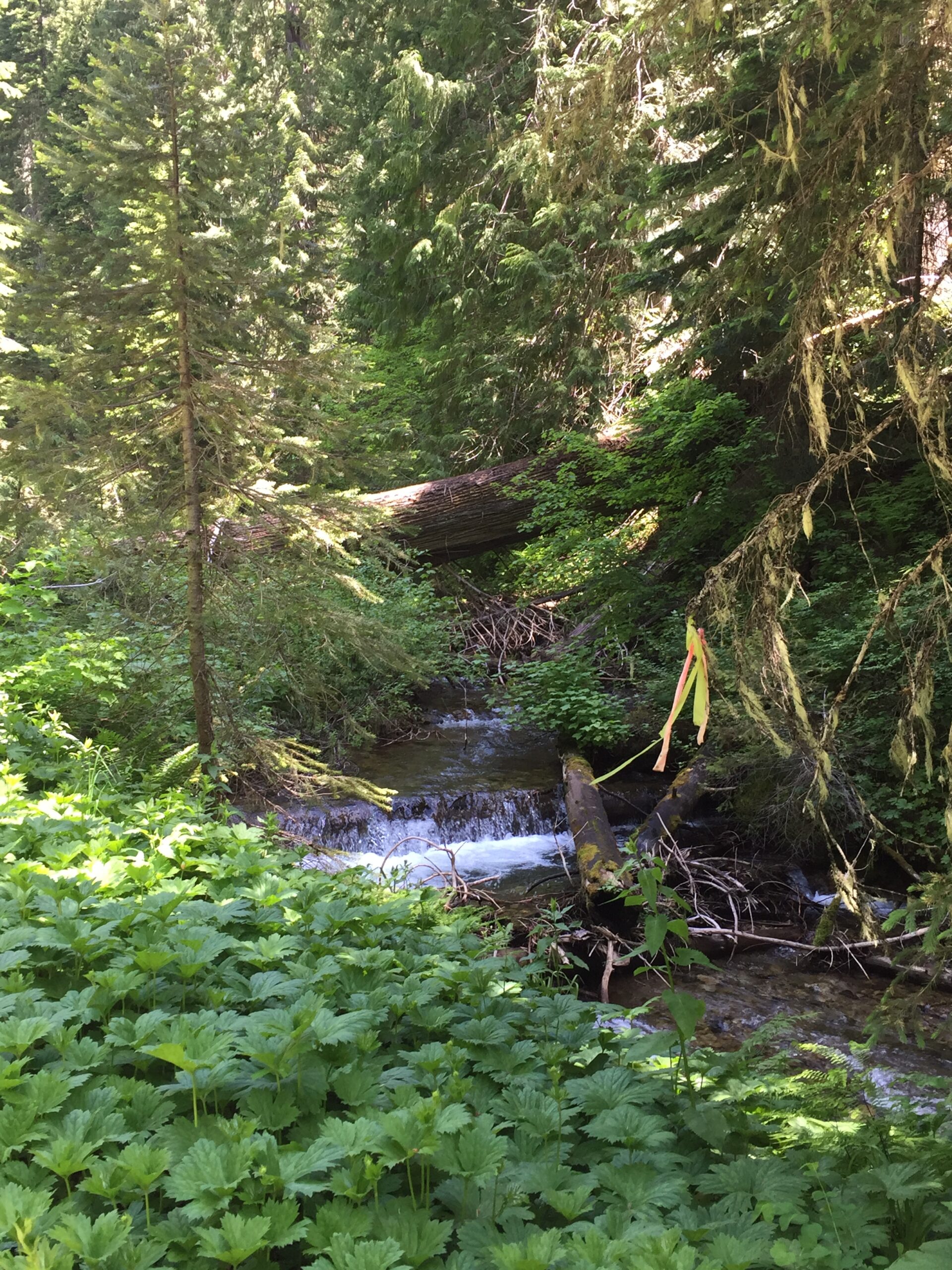
So back to the main road. I had to drive 13 miles back the way I’d come to get a message out to Russ. Hoping he would get it, I returned to camp, and took the boys for a short walk before dinner. There is no sound here but the birds and the creek. Perfect!
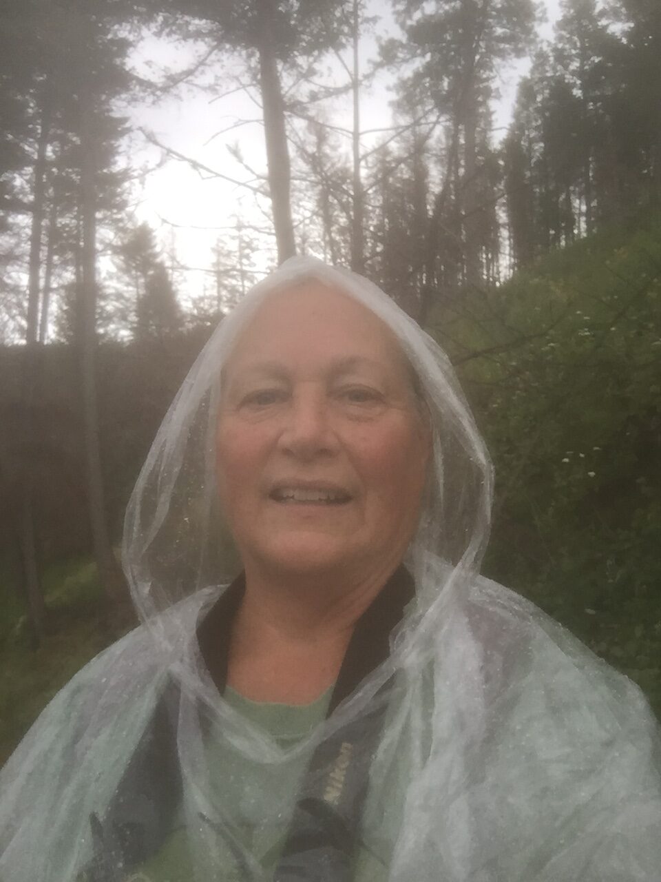
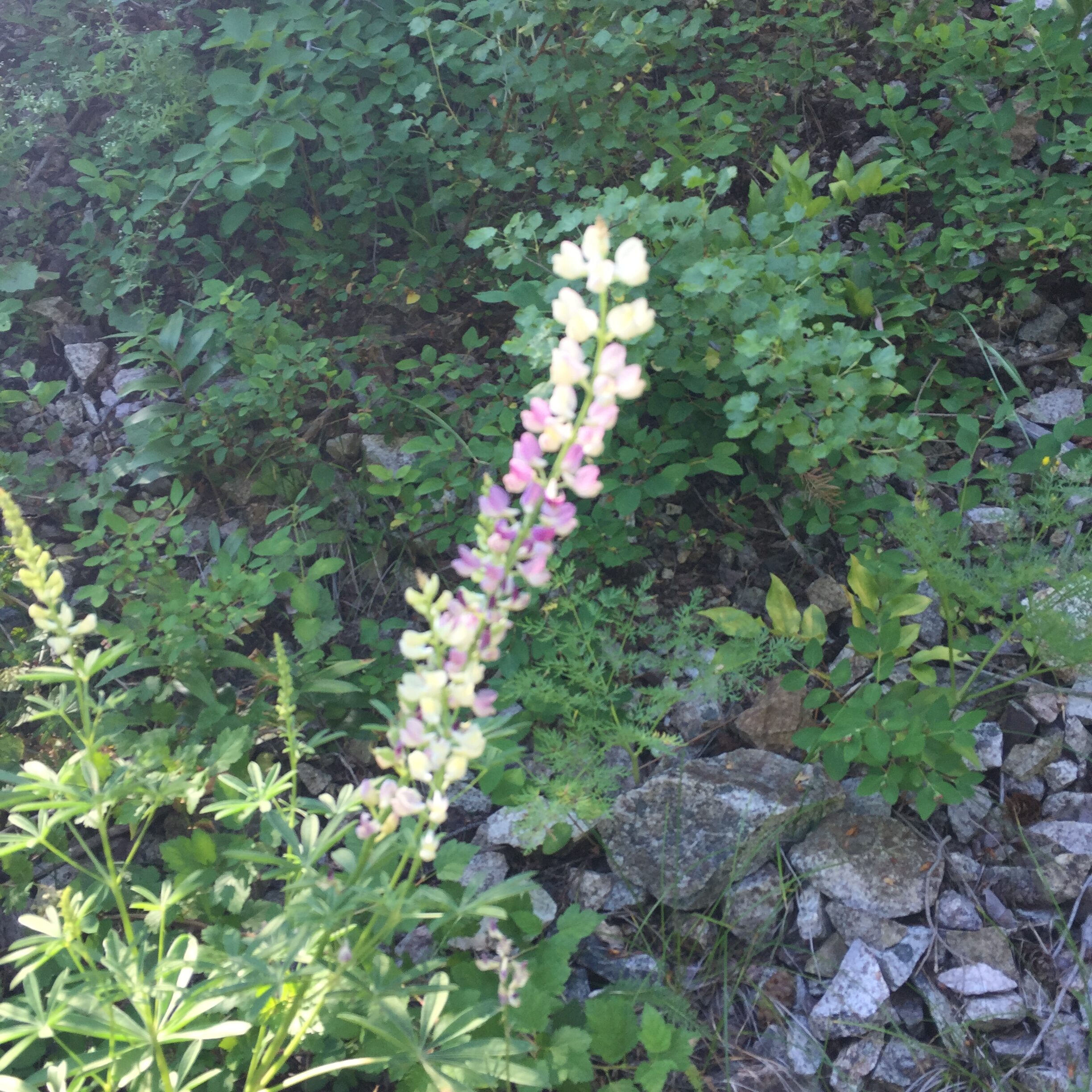
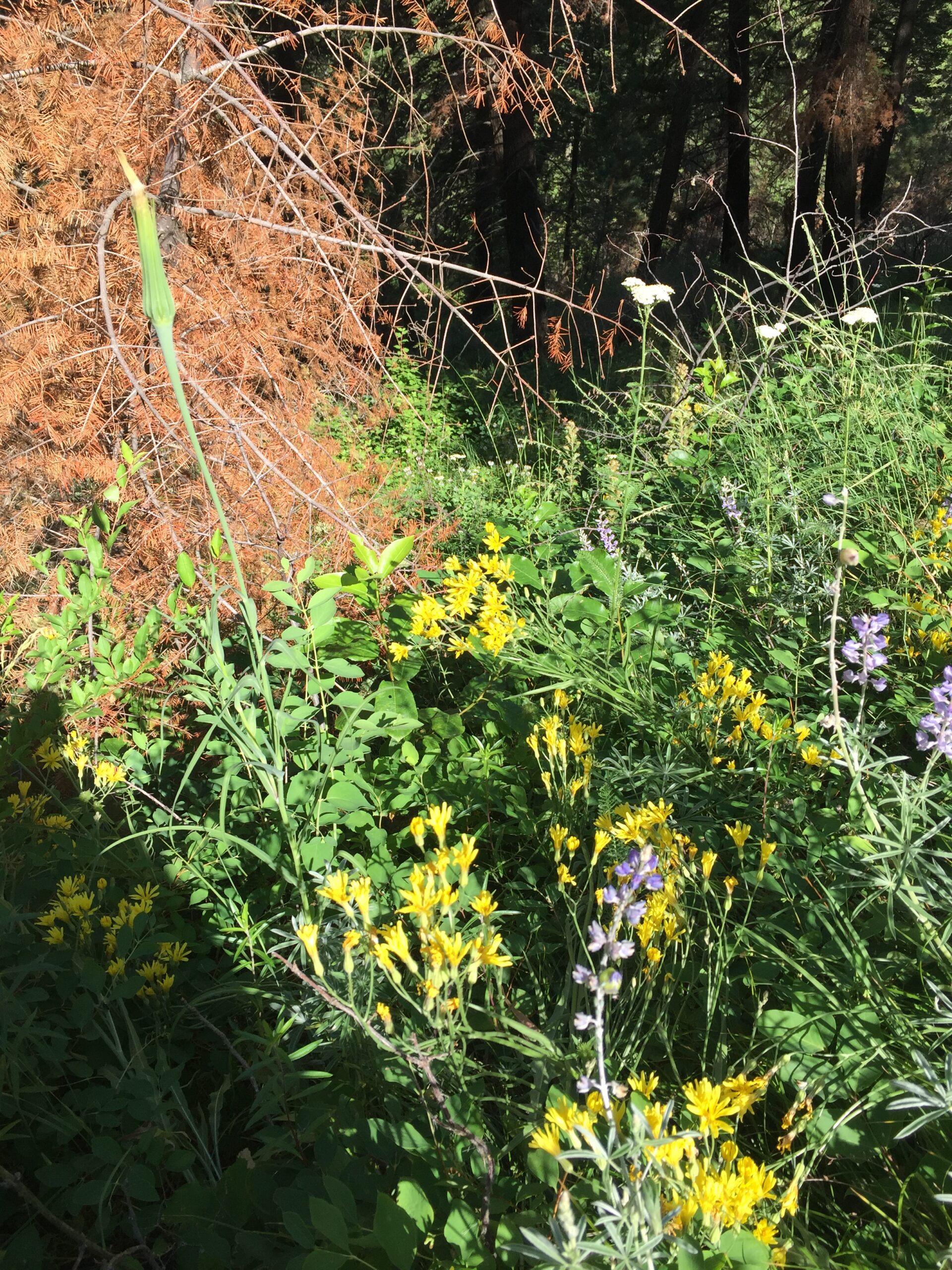
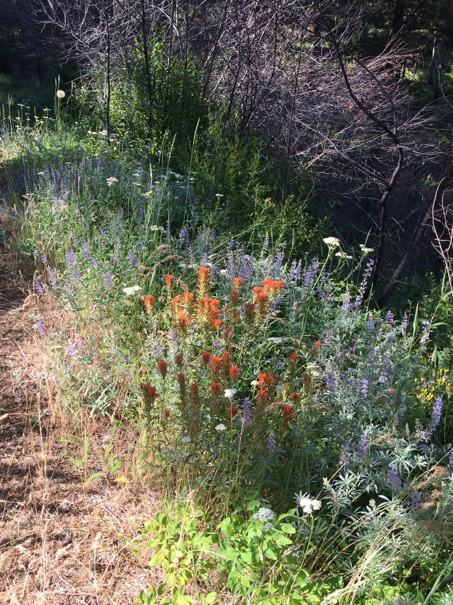
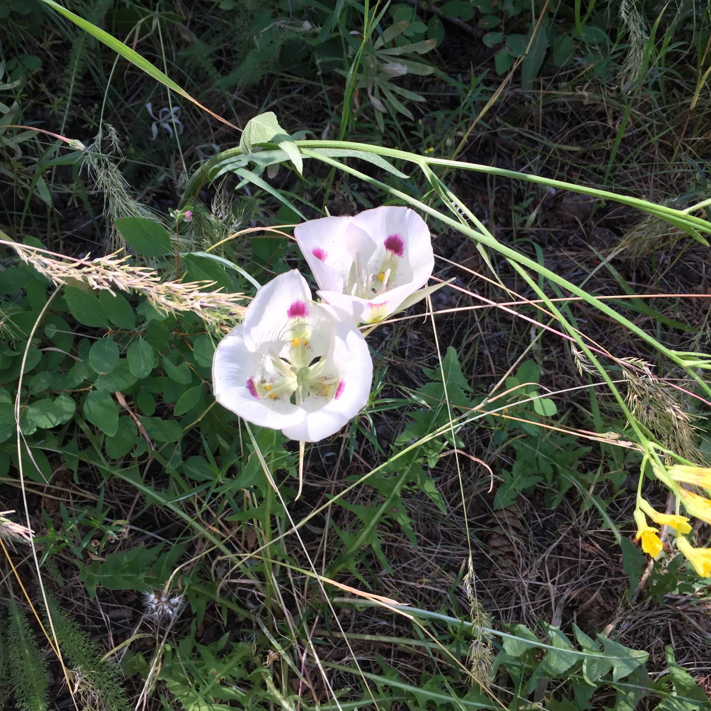
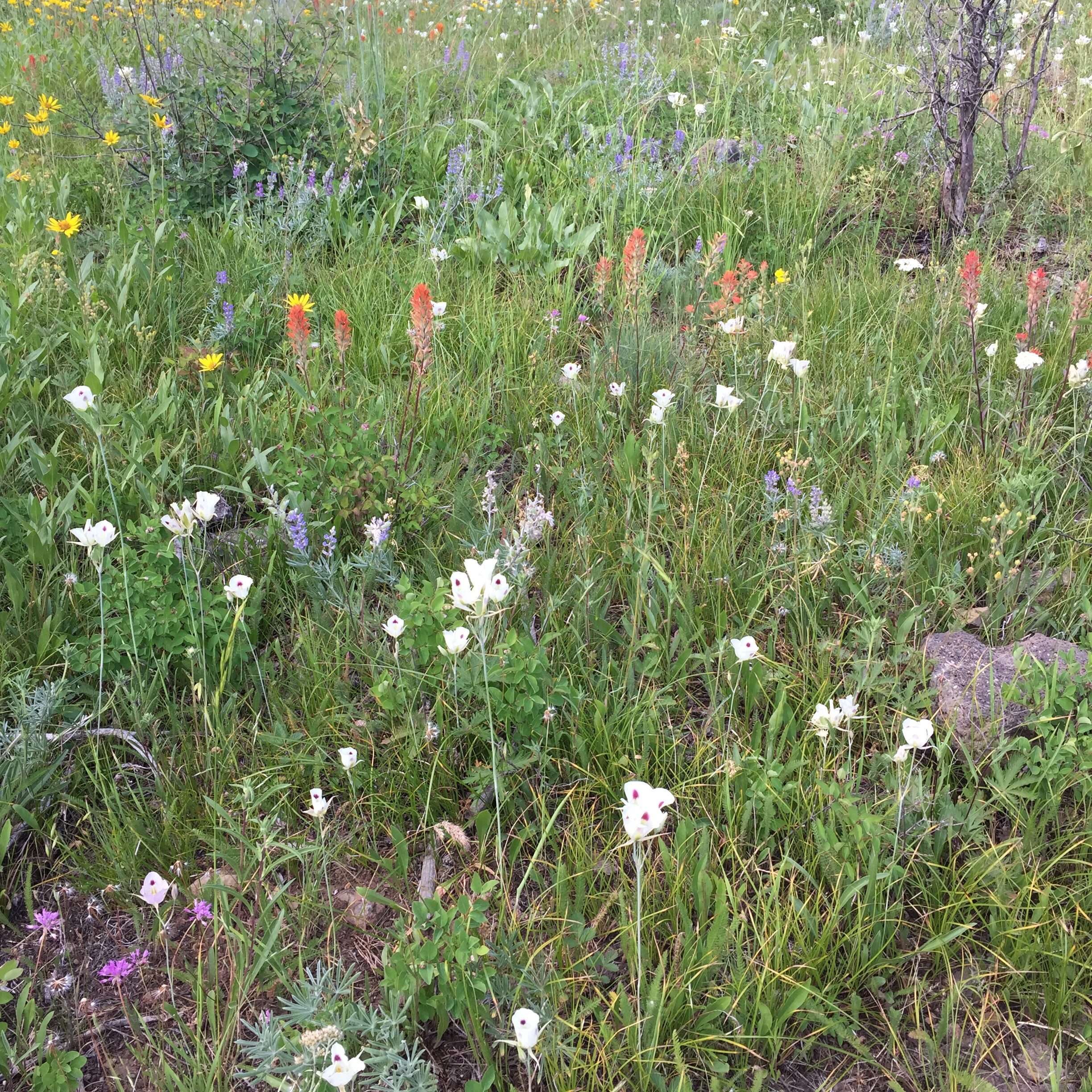
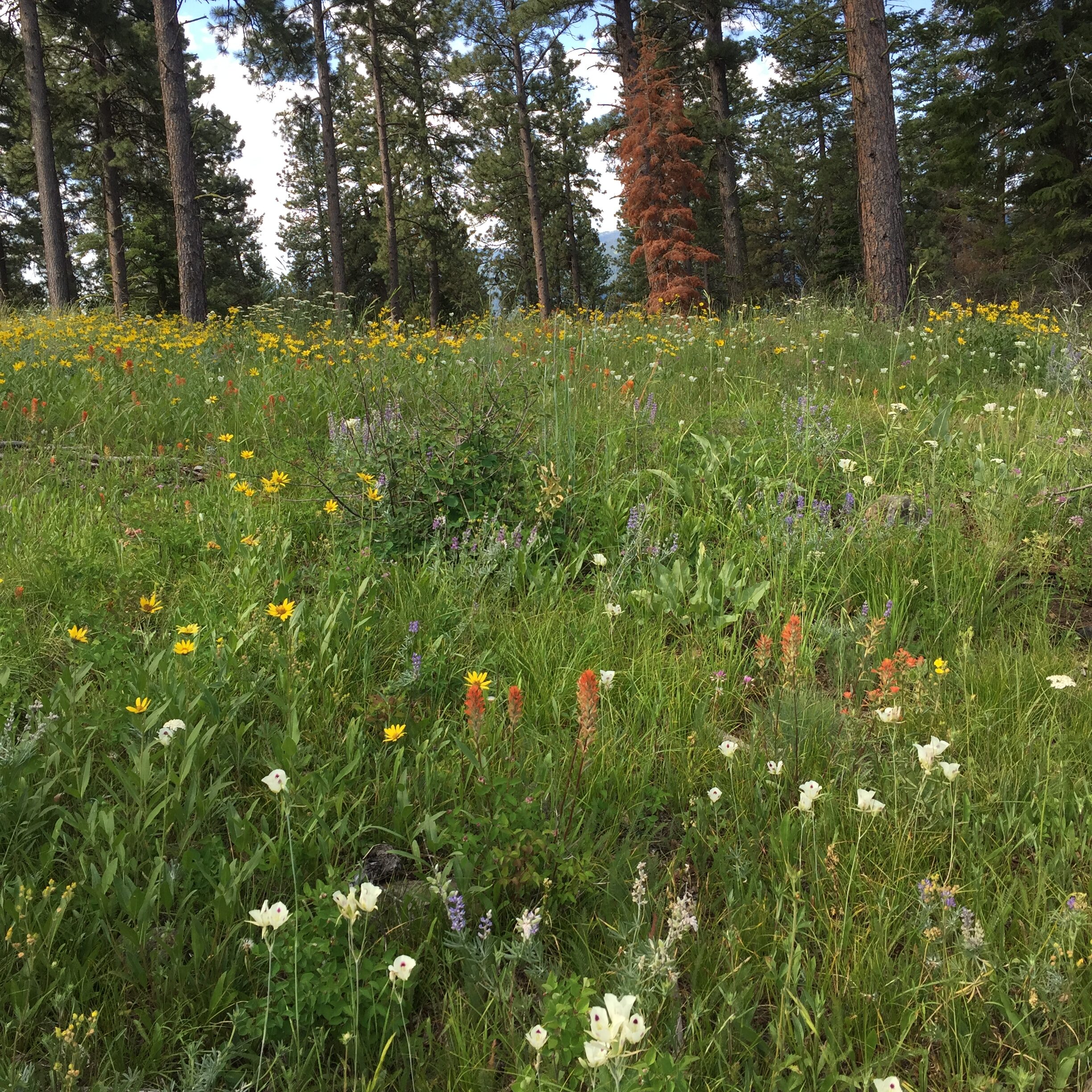
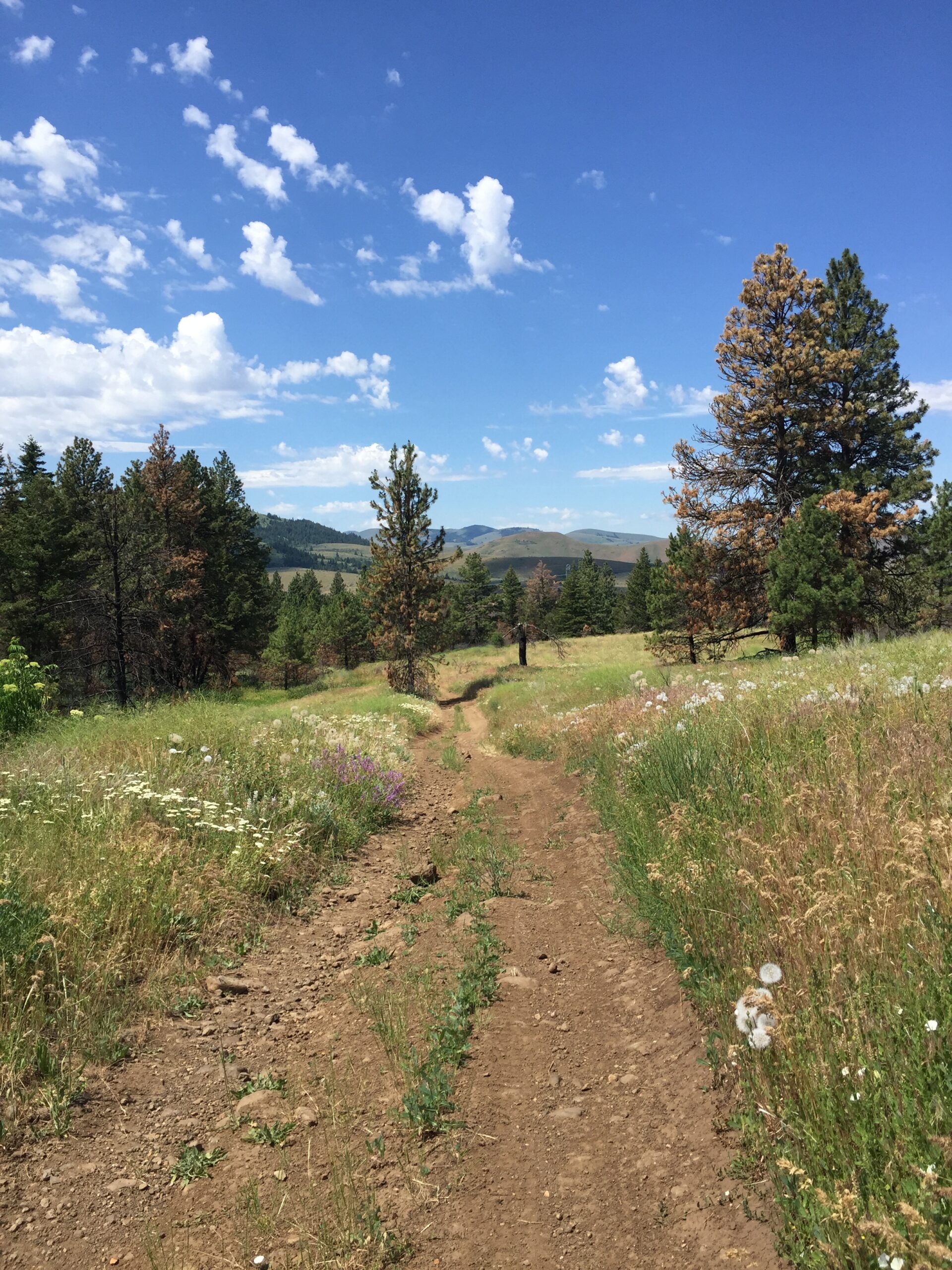
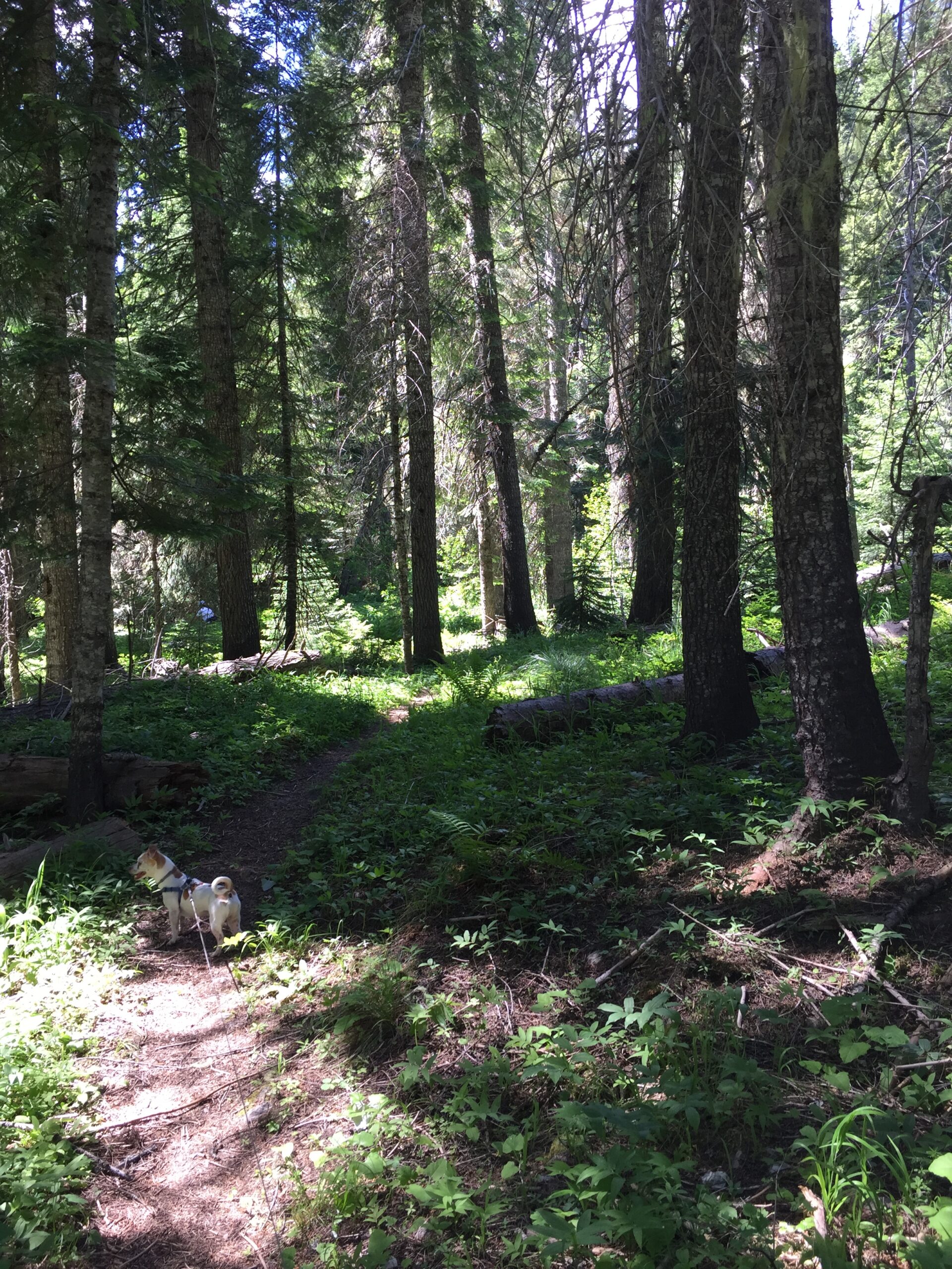
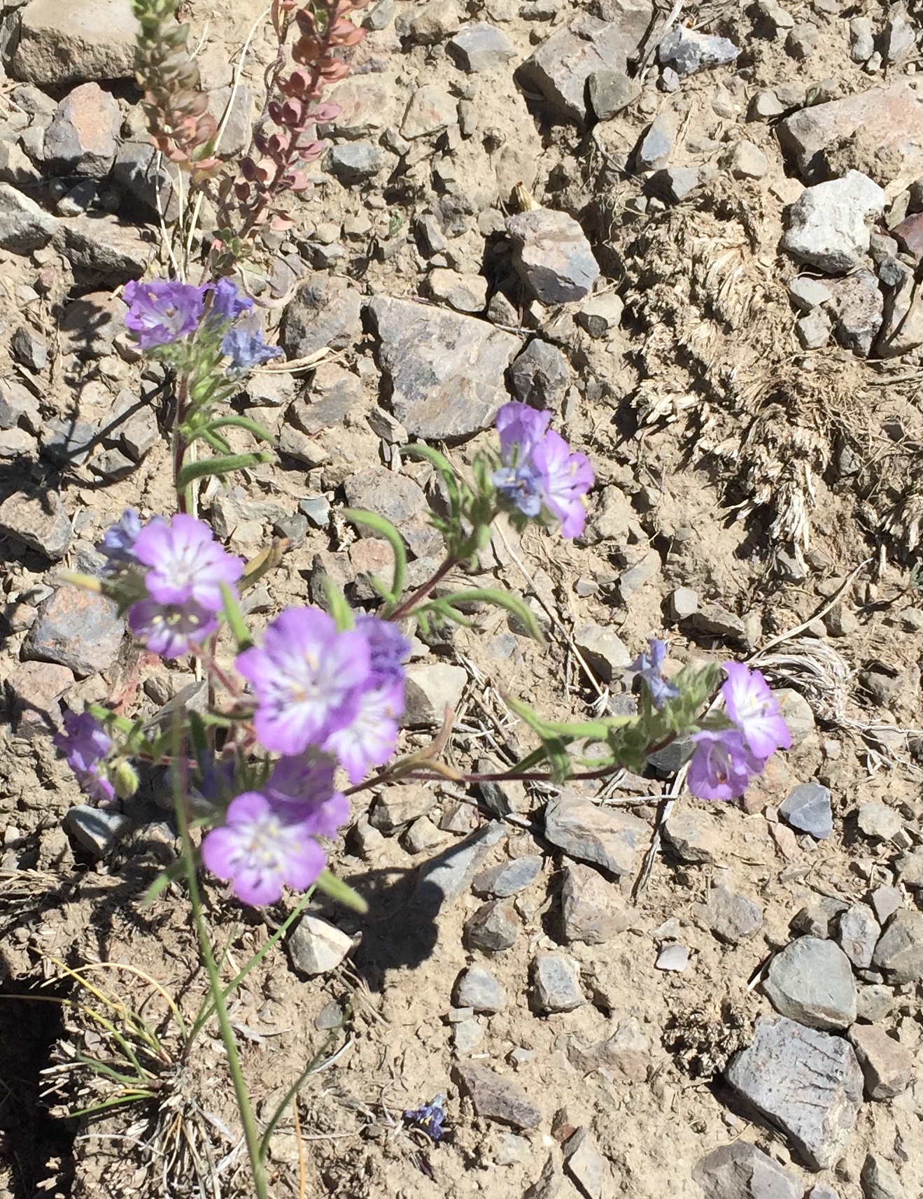
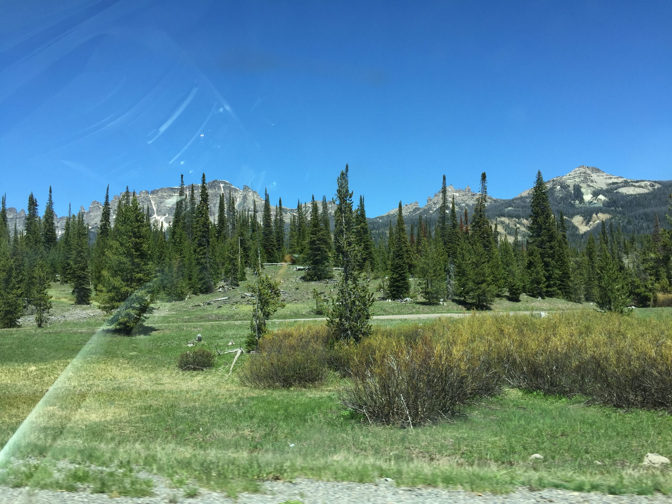
The next day, despite some drizzle, I set out on a trail that led up through forested slopes to open meadows. Wildflowers in every hue carpeted the margins of the trail, and grew in profusion across the open meadows.
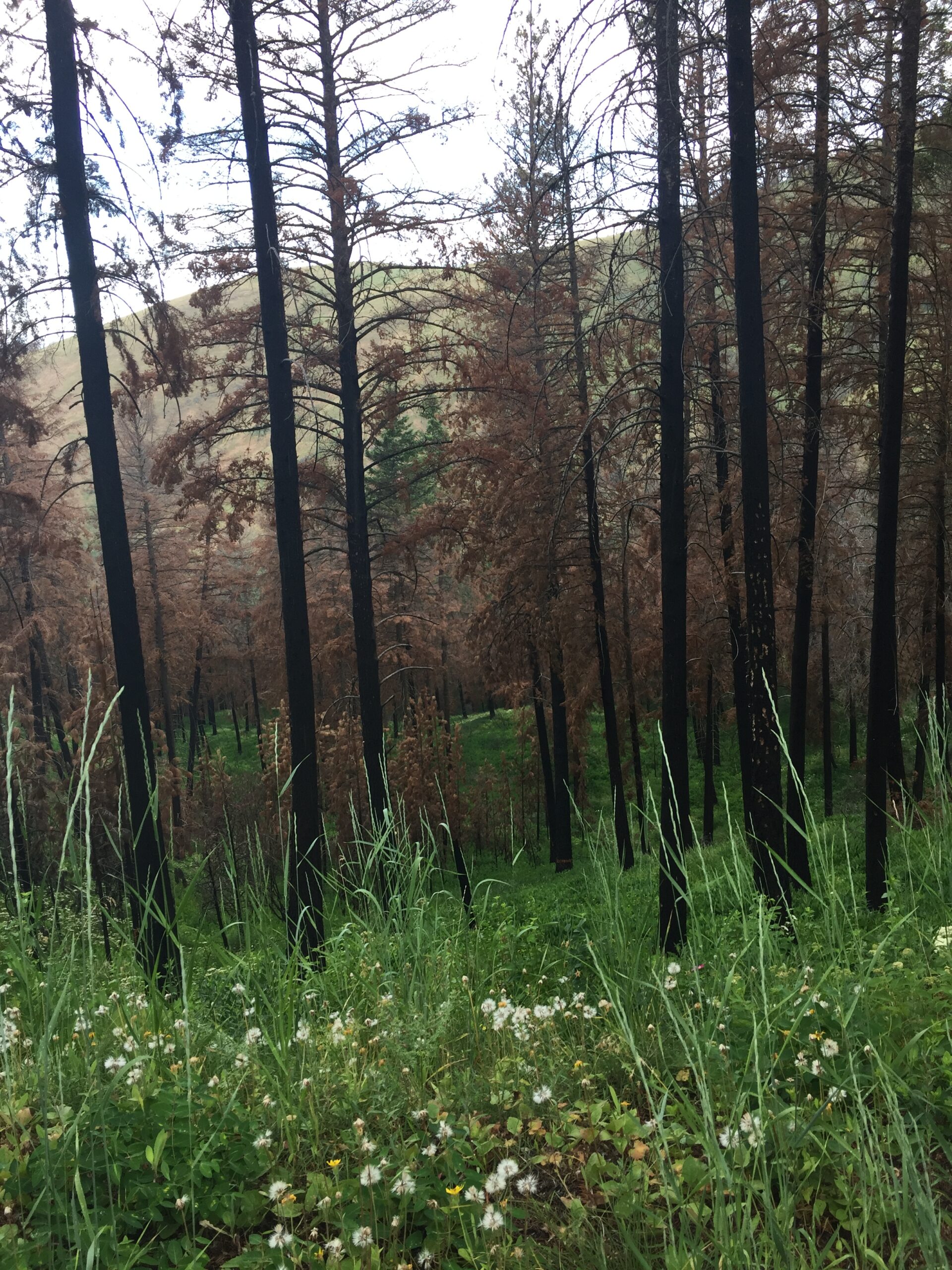
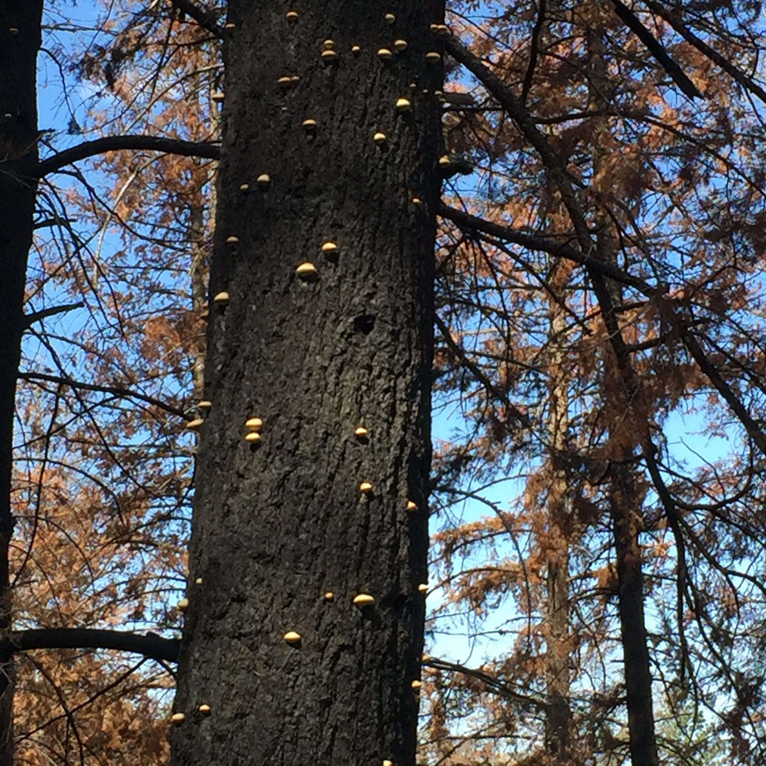
Finally got to use my ‘emergency’ rain poncho—thanks, Sandy!Thick underbrush has sprung up in the wake of wildfires
The rain stopped just before I decided to turn back, where I promptly took the wrong road. Fortunately, the road I chose led back to the camp, but much closer to the main road. Along the way I passed the burial site of a small girl who had perished on her family’s journey along the Oregon Trail. Nothing but the blackened stump of a huge ponderosa pine (and the park sign) remains to mark the spot.
Back at camp, the day had turned sultry, and the pups and I settled in for a nice nap, to await the cool of the evening. A quick supper, some reading, and then bed.
Next morning was bright and sunny, so I set out again up the trail, to photograph the profusion of wildflowers in a better light.
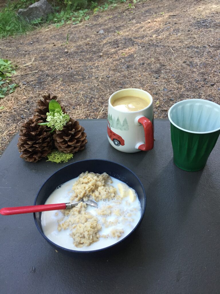
A table scape need not be elaborate to set the mood for Al fresco dining
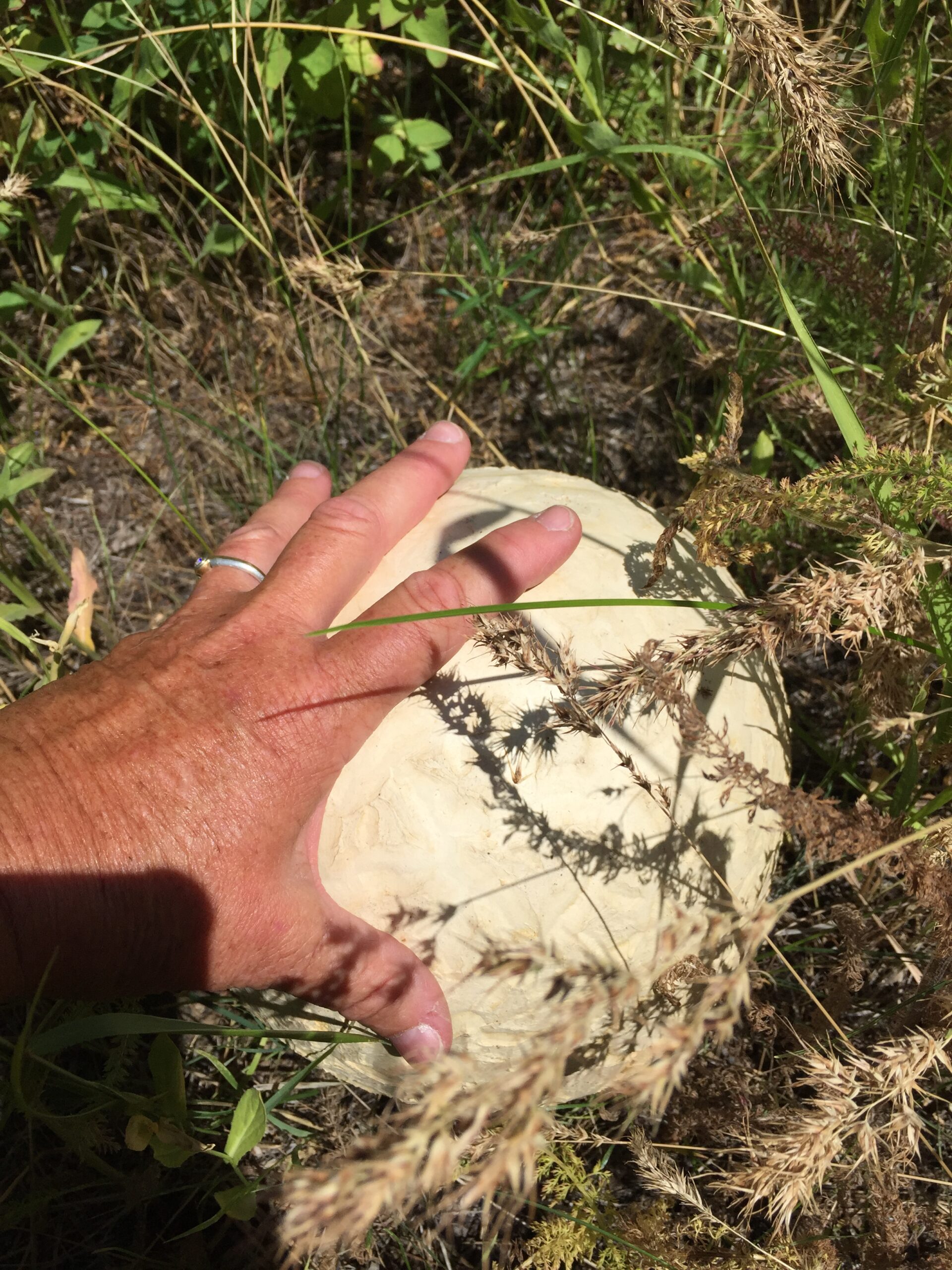
I discovered the biggest puffball mushroom I’ve ever seen—this thing was the size of a soccer ball! I also discovered there was about a 50-yard stretch of trail where I could get messages. To my relief, Russ was fine, and heading my way.
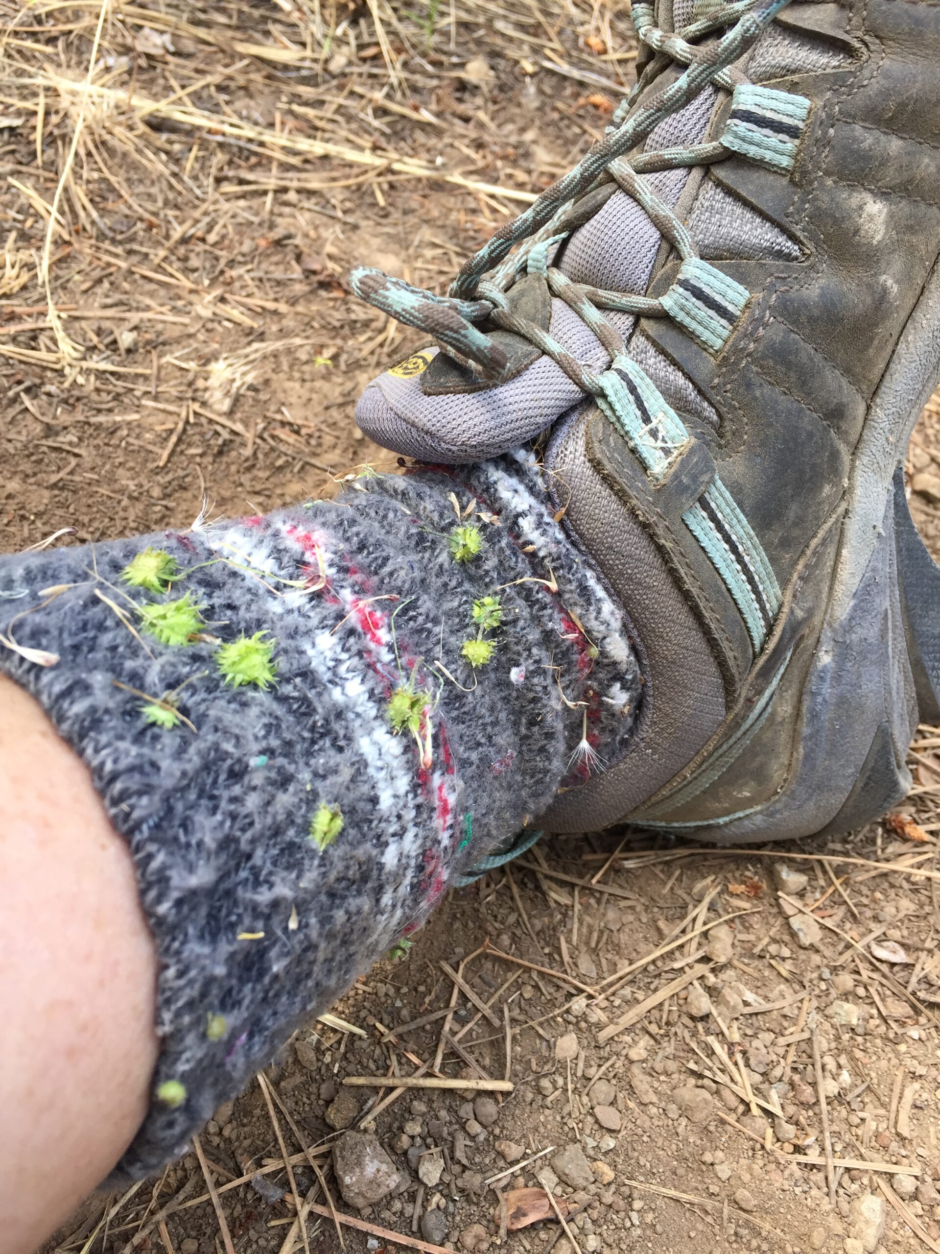
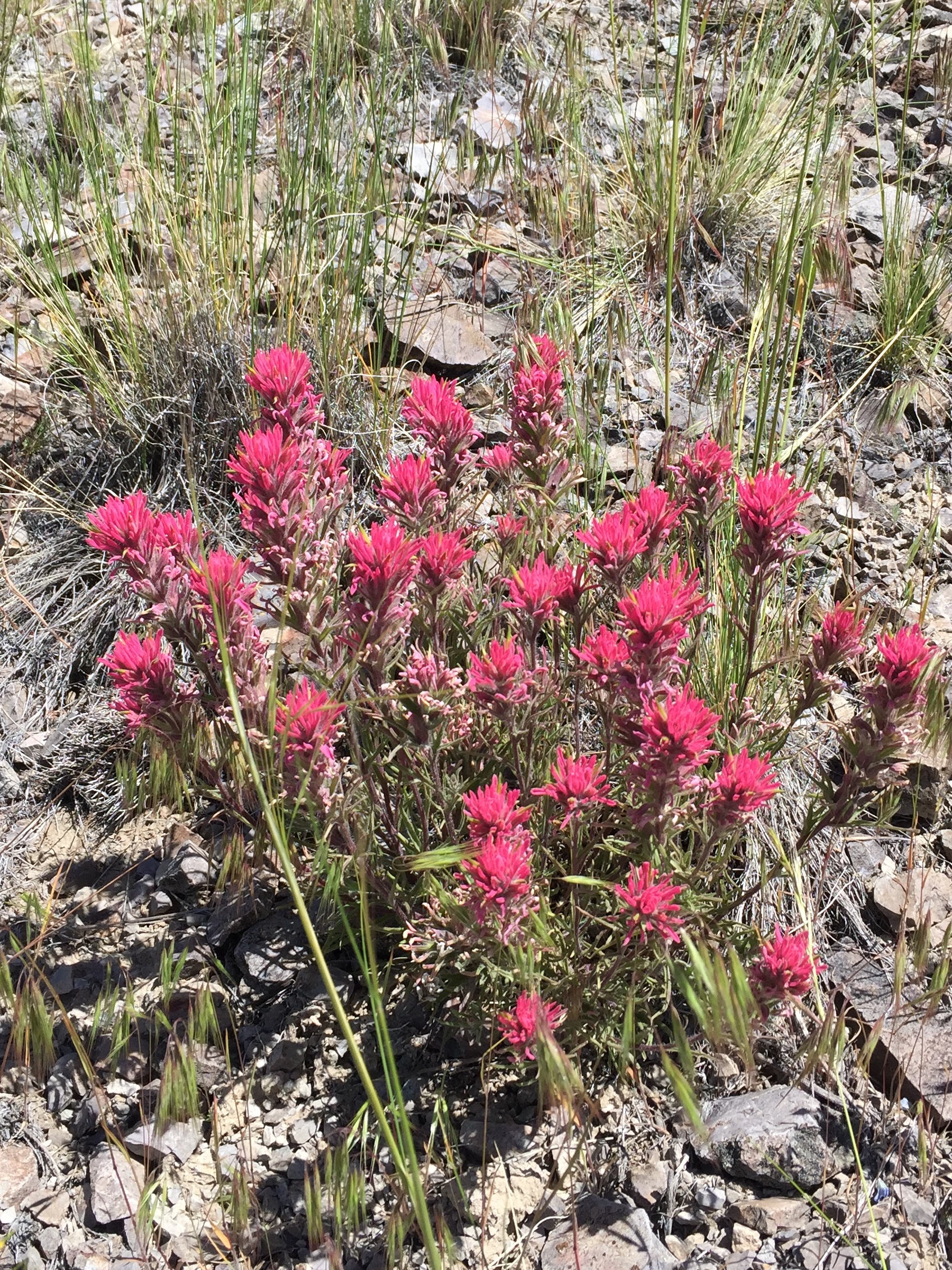
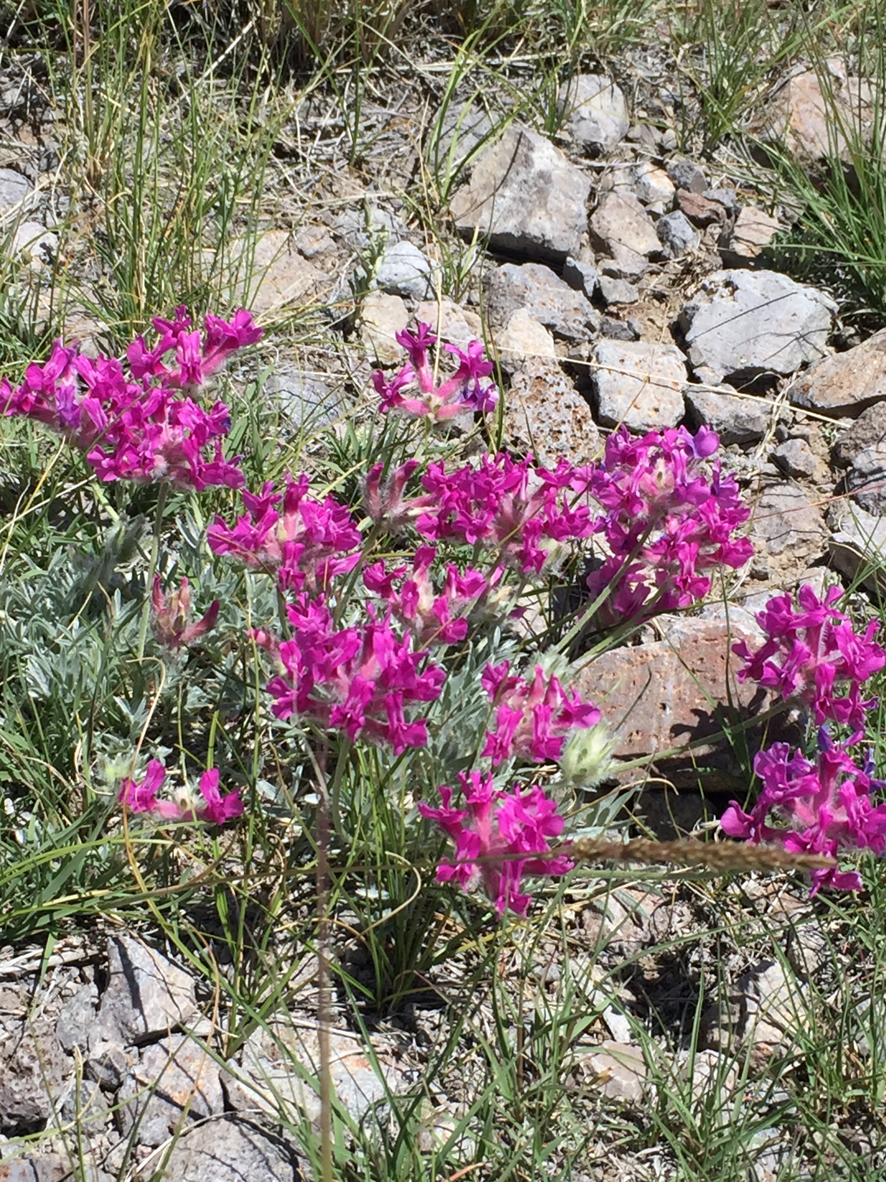
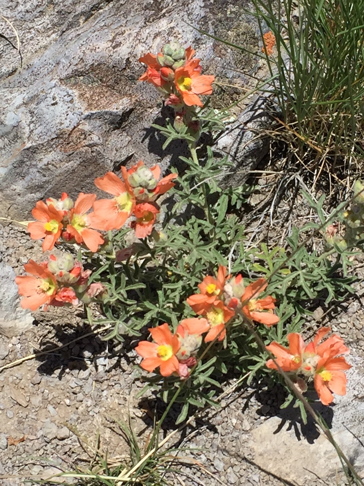
Idaho lupineA type of HawksbeardIndian PaintbrushPayette PenstemonMushrooms dotting a fire-blackened pineSego liliesBeautiful wildflower meadowsBeautiful wildflower meadowsHitchhikers!Biggest. Puffball. Ever.High meadows
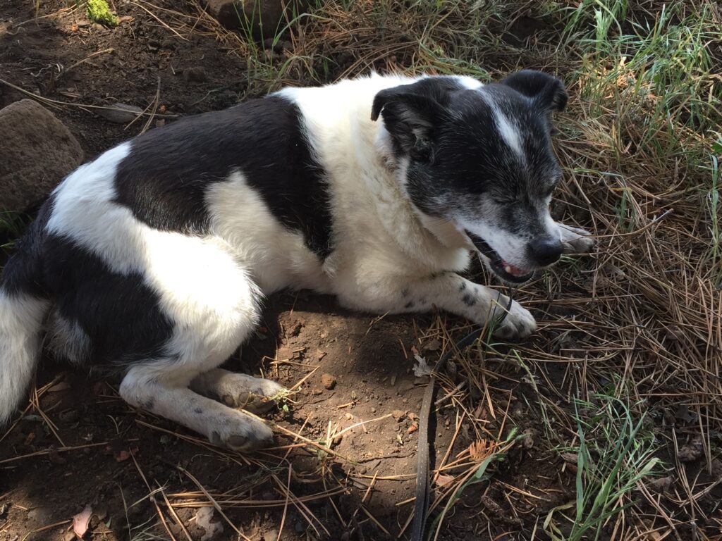
I may have gotten over-enthusiastic in the bright sunshine: At yesterday’s turnaround, I decided to head further up the mountain, and while the scenery was great, I over-extended myself and poor old Scooby, who had to be carried in my backpack for a while. When my back gave out, we all took a breather in the shade.
Poor little trooper!
It was a struggle to get back to camp and to Russ, who must have arrived half an hour after I set out on my hike. I was so hot that I simply marched past him, shedding clothes along the way, until I reached the creek and waded straight in (did I mention there was no one else in the whole campground at that point?). Freezing cold water never felt so good! I was glad I’d thought to put my spare water jug in the creek—it too was nice and cold.
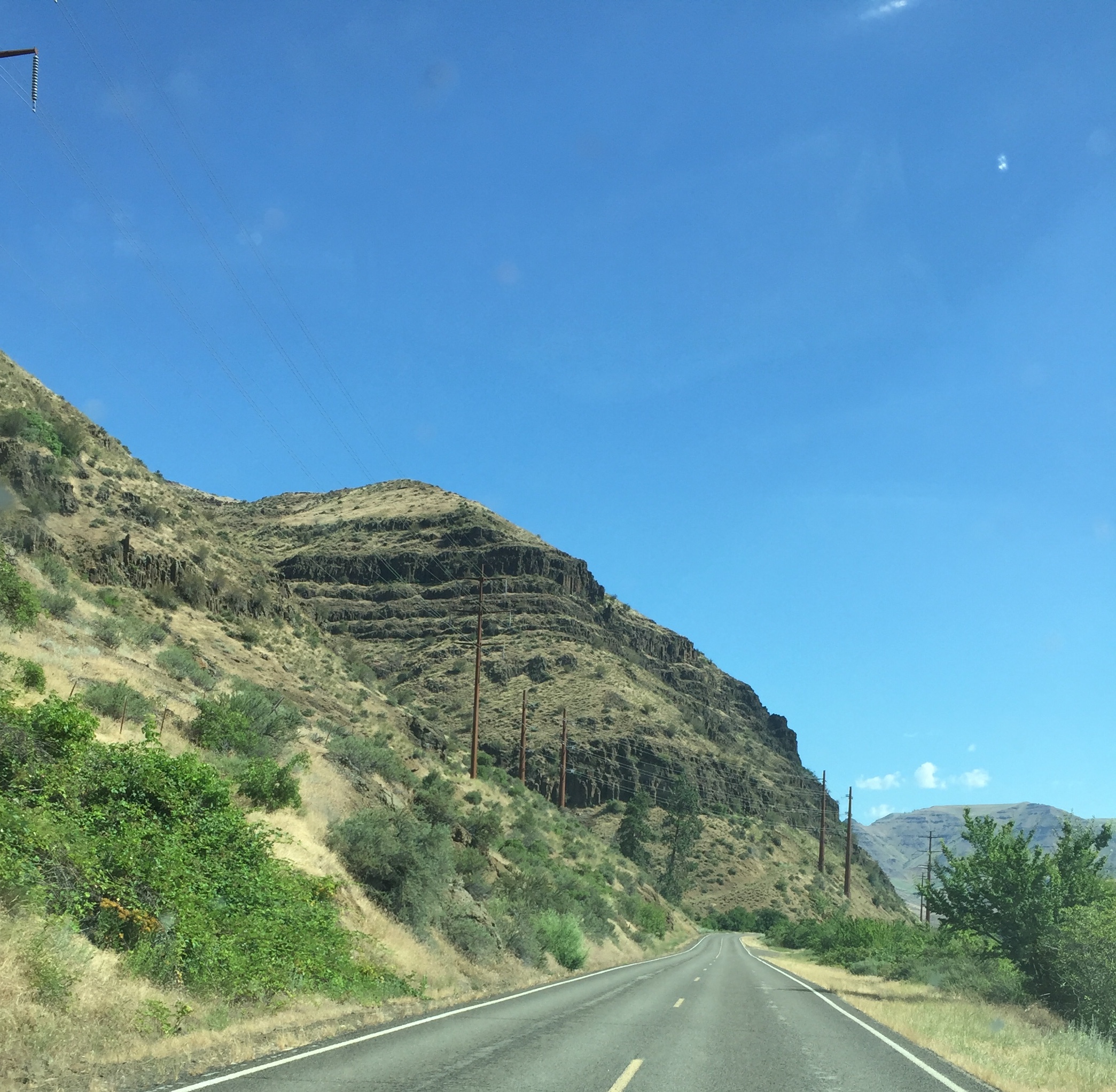
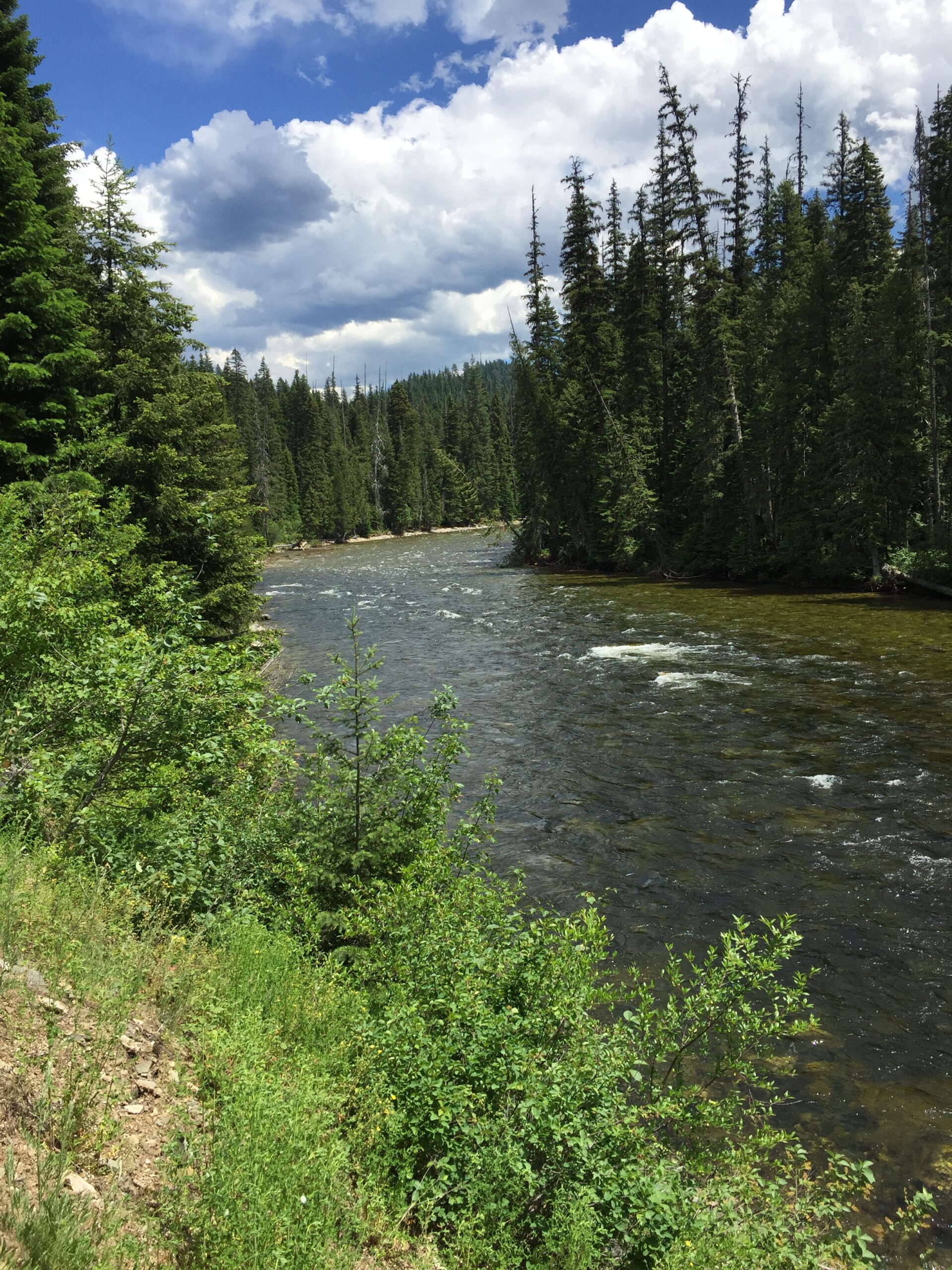
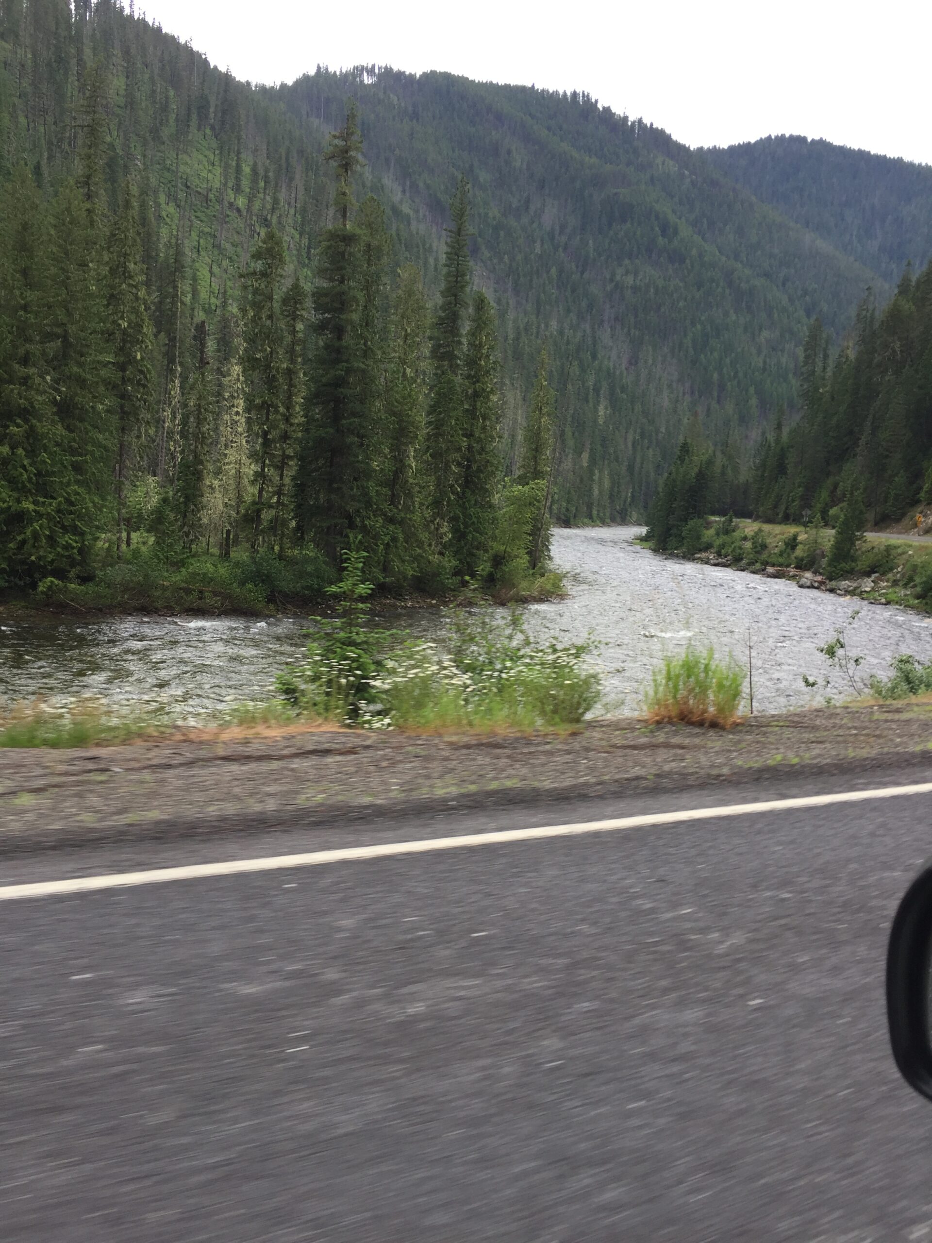
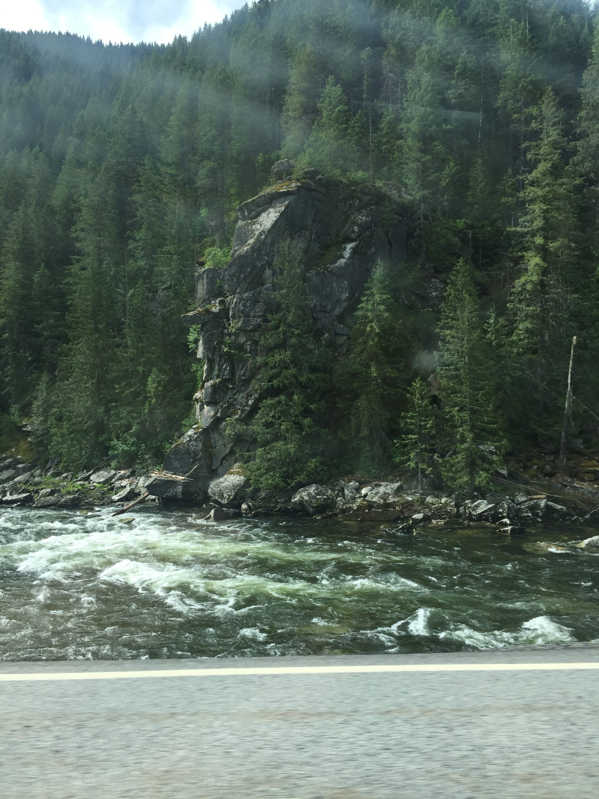
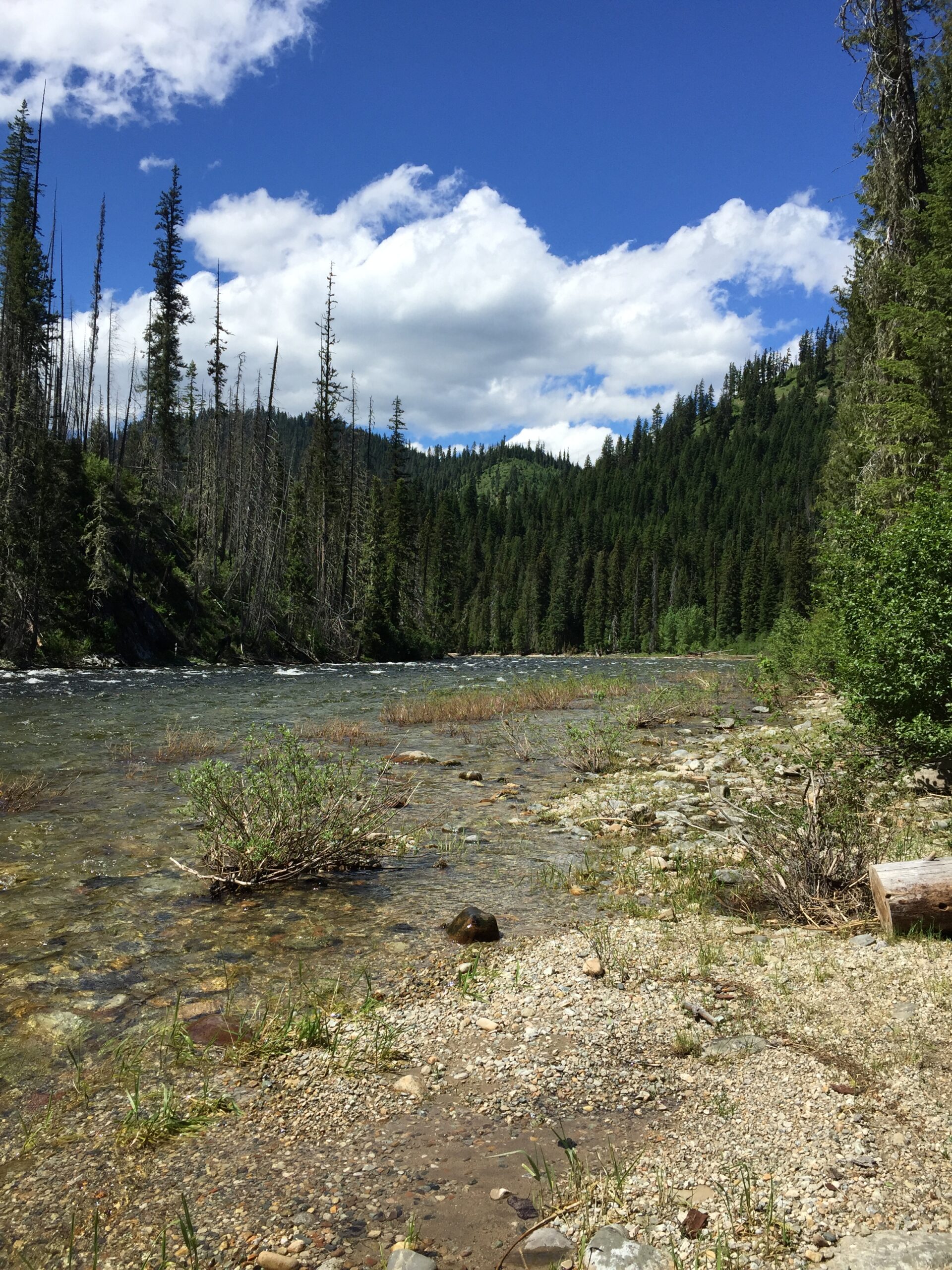
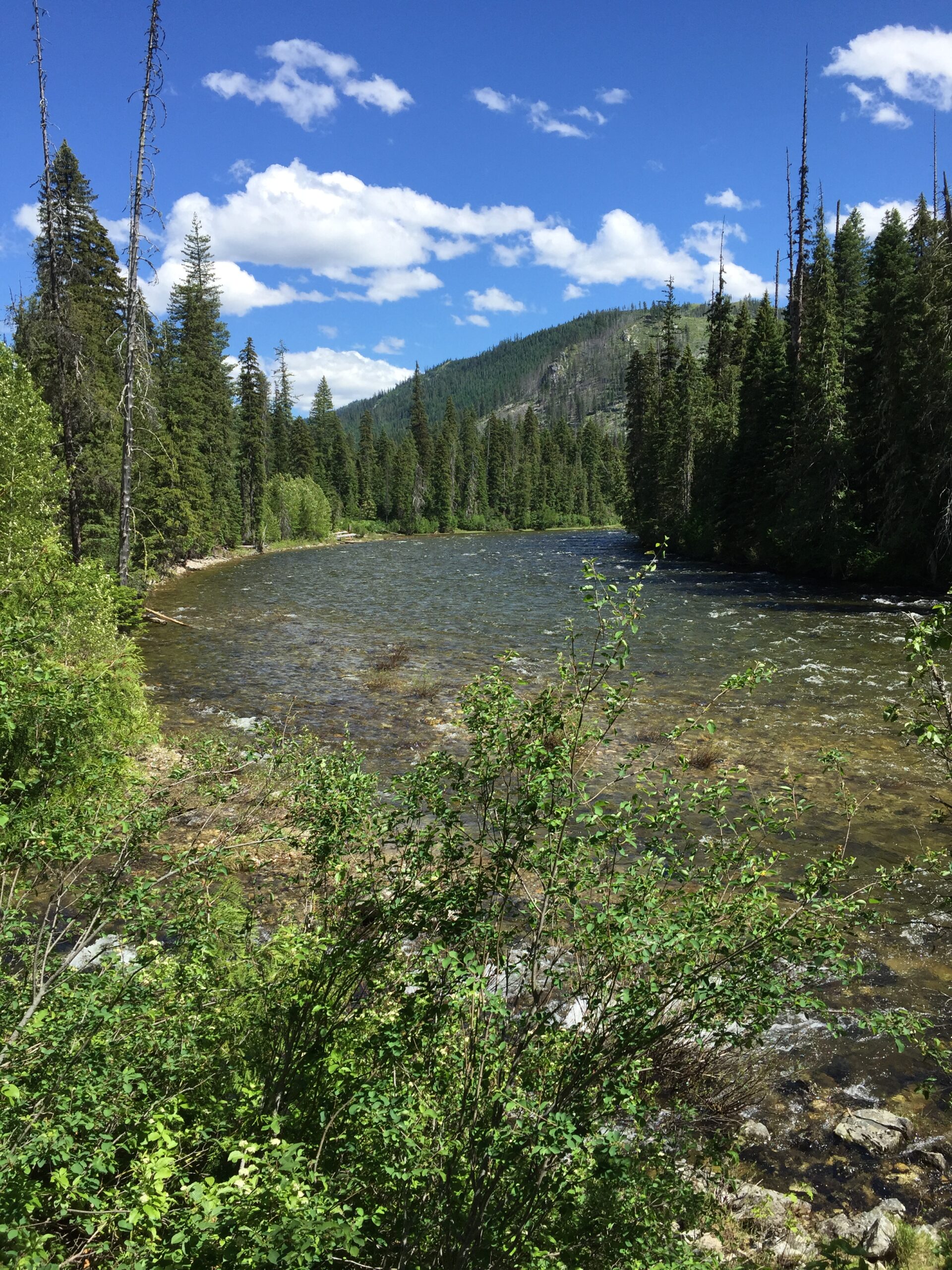
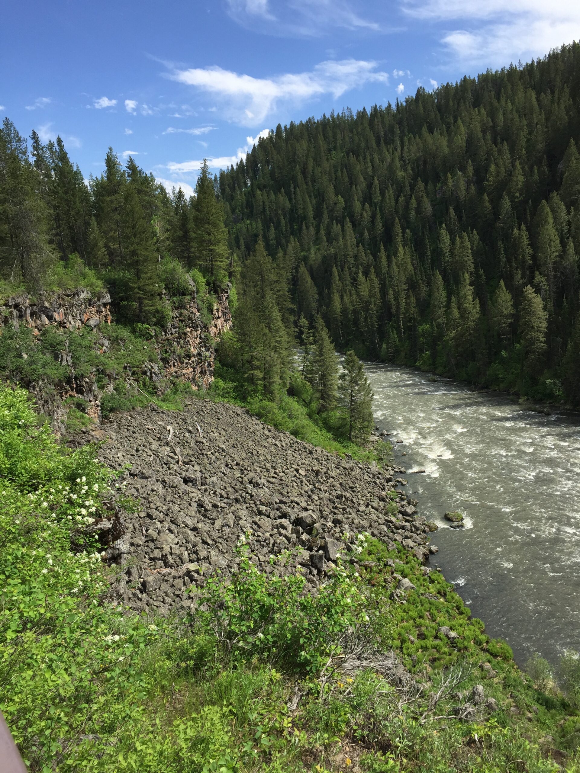
The drive from Powell Campground to Whitebird was about the most scenic stretch I’ve seen yet. First of all, it descends 70 miles along the Lochsa, Clearwater and Salmon Rivers.
Can you see why thoughts of multi-day rafting trips came to mind?
It didn’t even start to level out until about mile 50. After Kooskia it started rising and falling again, through drier, rumpled landscapes. Went through the Nez Perce Reservation and dropped down near the White Bird Battlefield, site of a skirmish between Nez Perce and U.S. cavalry that began a disastrous war for the tribe.
And then it rose again, through beautiful high farmland.
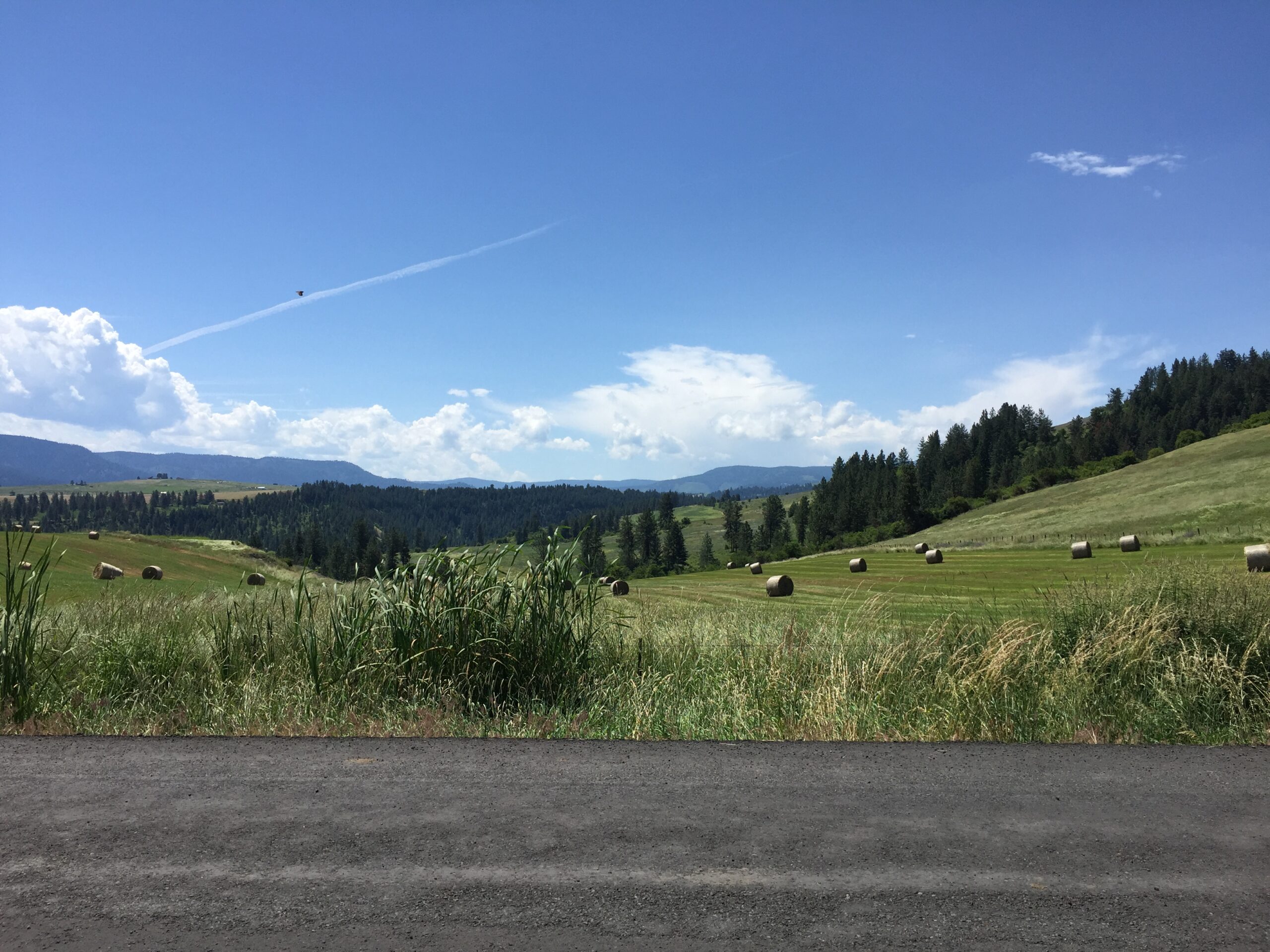
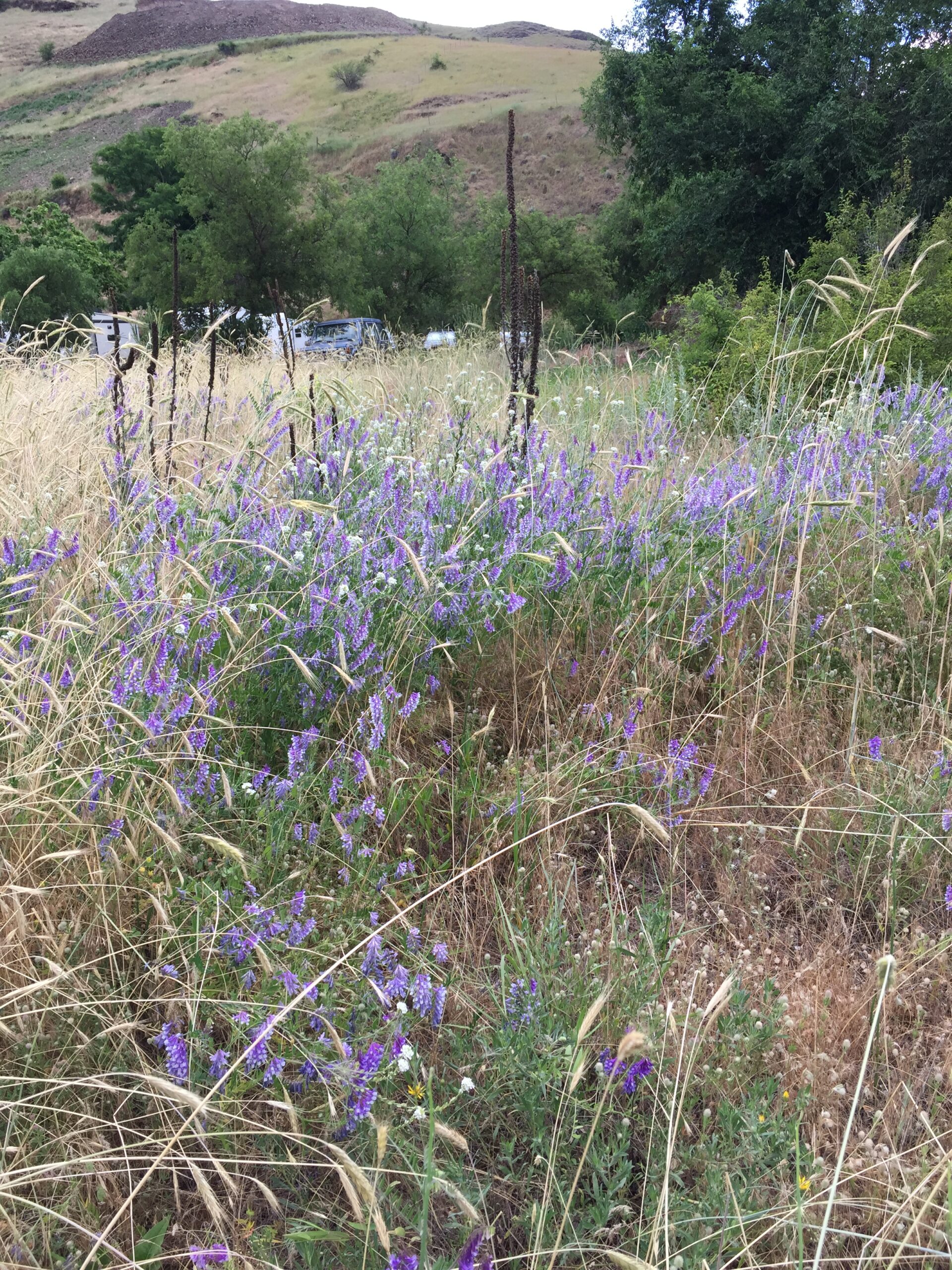
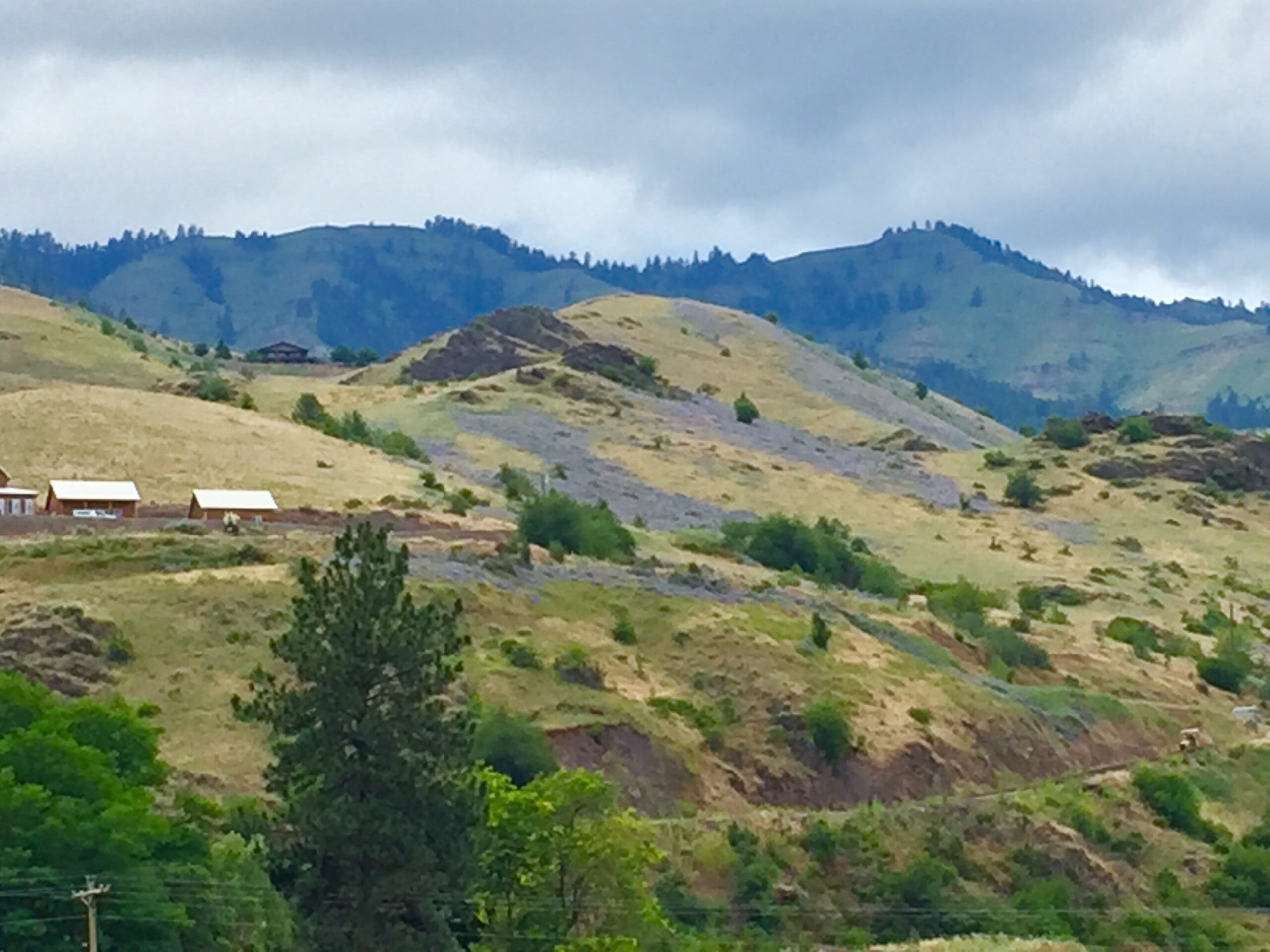
I found a spot at an RV camp right on the Salmon River in Whitebird. Russ arrived a couple of hours later, and we hit the Wildside Steakhouse and Saloon, for the best loaded baked potatoes we’d ever had (this IS idaho, after all). Wandering around camp the next day, I found the flowers that I’d seen carpeting hillsides all around the area: a species of vetch, it’s often planted as a cover crop to restore soils, and it has spread widely.
Vetch up closeCarpets of vetch turn the hillsides blue
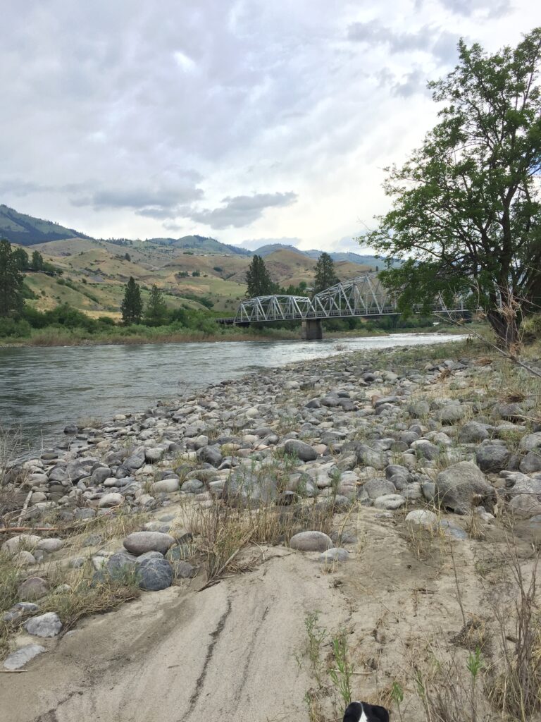
Salmon River beside our camp.
Monday the Fourth of July threatened rain, so we stayed an extra day and spent the holiday here. I was apprehensive about spending the Fourth at an RV park, but it turned out that most of the people at the park were avoiding loud fireworks displays, not looking to create them, and we met another couple close to our ages who were biking the Trans America, but from west to east. As I finish this blog, Russ is happily sharing his last two beers with the husband and chattering away about bike esoterica. Happy Boy!
My next stop will be on the Oregon border—the last state on our westbound journey.
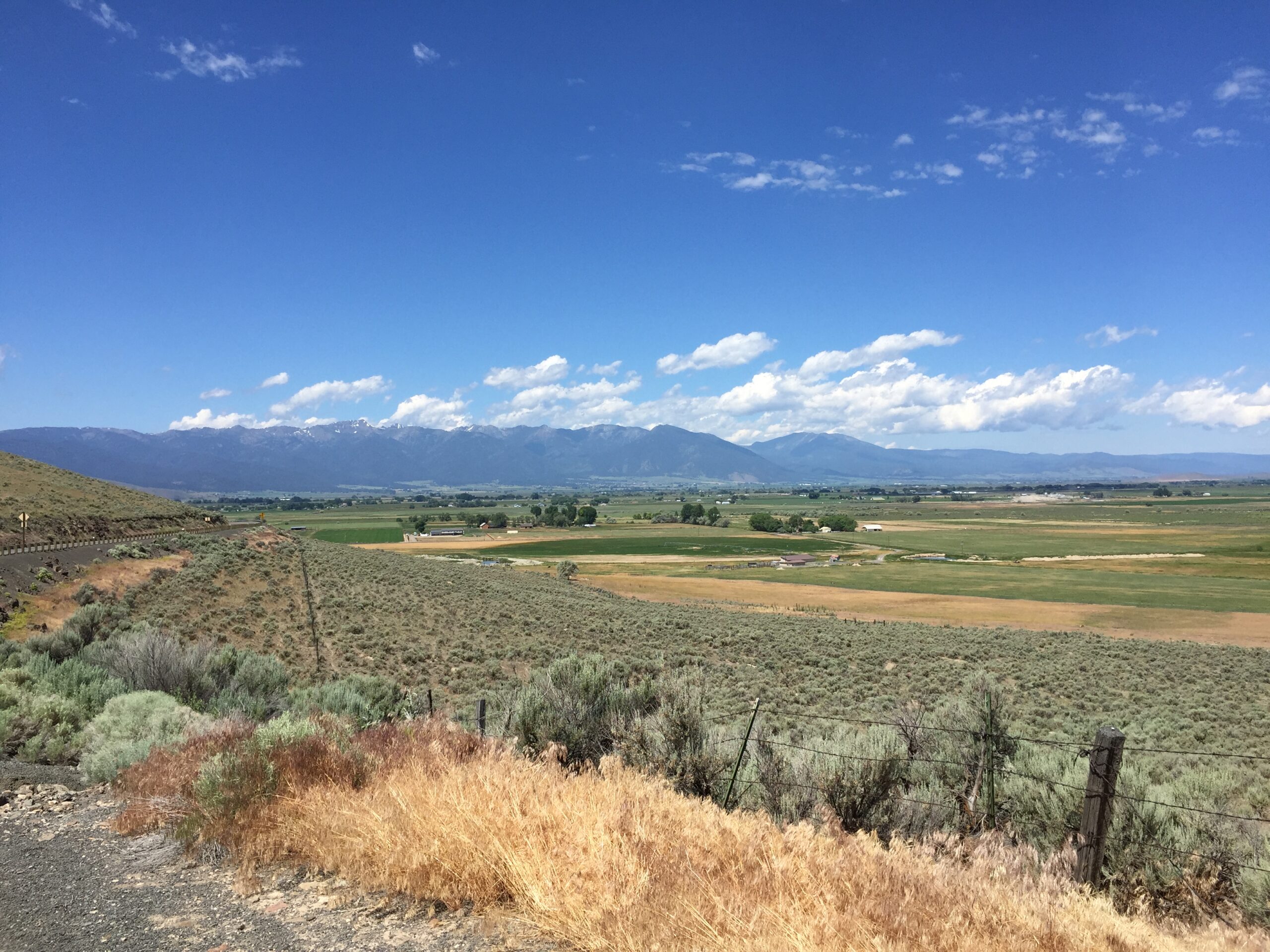
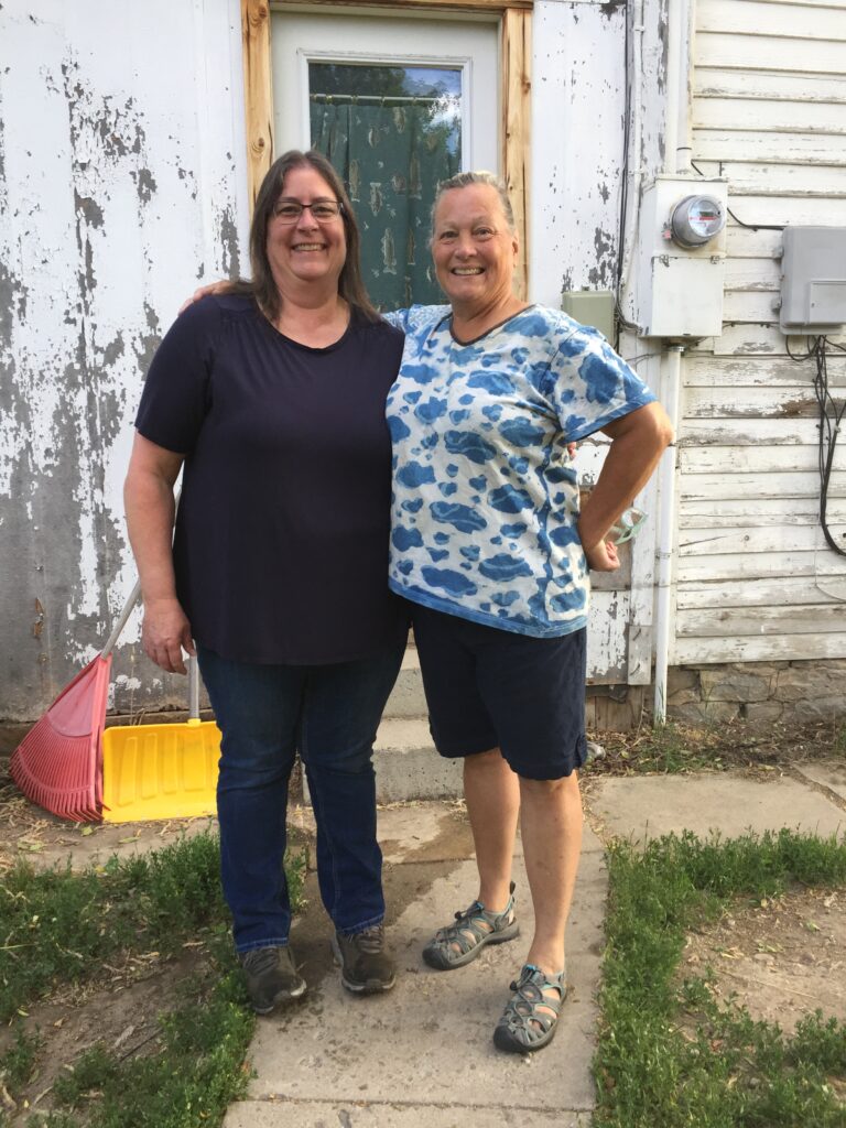
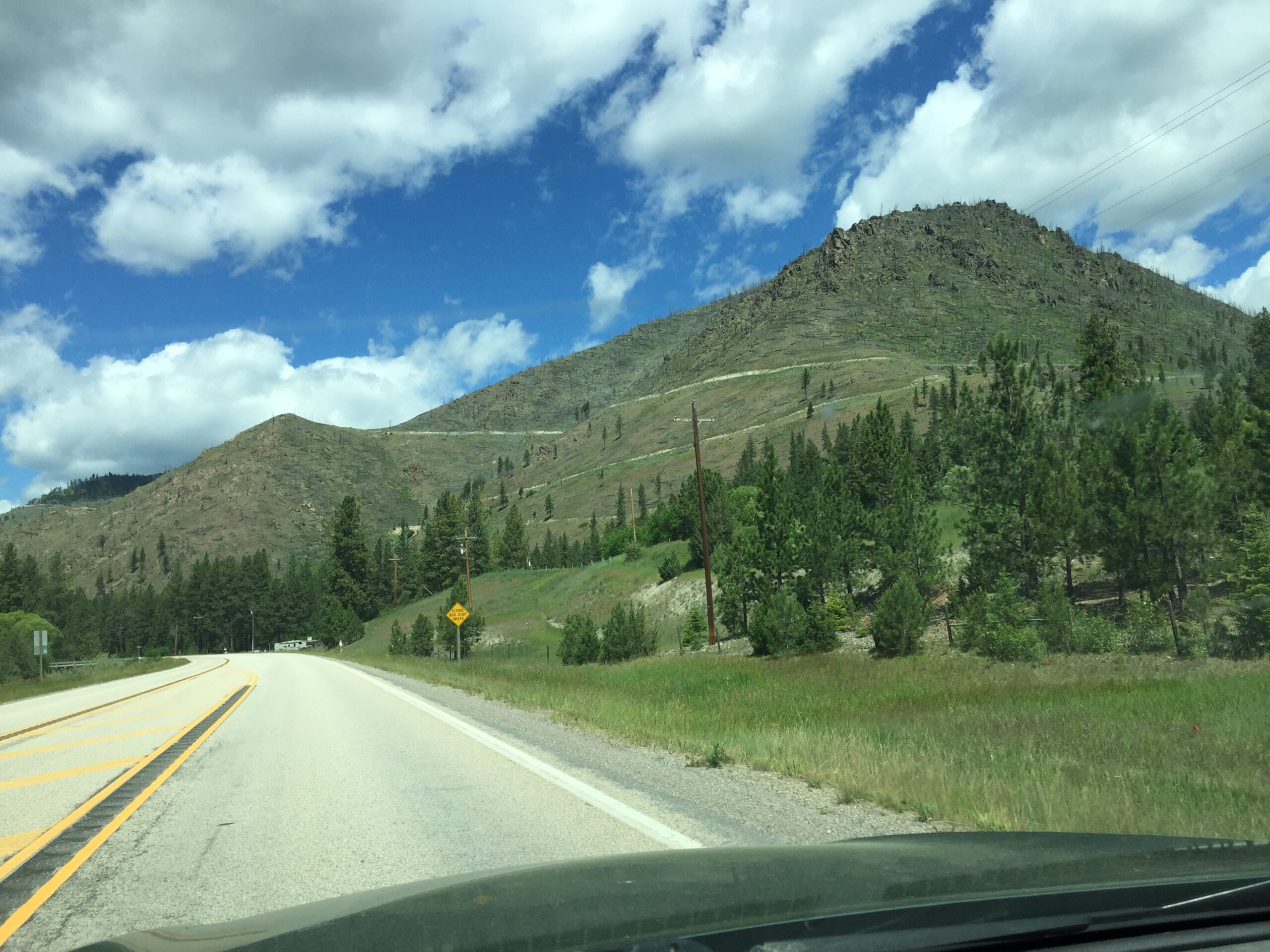
Finally made it to Hamilton, MT and a warm welcome from Jeff’s friend Mark Engbrecht and his partner LaDonna Felton. Hamilton sits between the Bitterroot and Sapphire ranges, and is the greenest place I’ve seen since Missouri (maple trees!).
Fire damage up on the pass
I got there none too soon—coming down from Chief Joseph Pass, I heard my brakes scraping. Made the first appointment I could get for the local brake repair shop, and, as I expected, both front brakes needed replacing. LaDonna and I quickly felt like old friends, as she joined me for some needed shopping.
Then Russ’s iPhone started having problems. Knowing we would be in wilderness areas through Idaho and eastern Oregon, he decided it was time to replace it. I’ll let him describe the nightmare we went through at the Missoula AT&T store, but suffice it to say that’s the first time he’s ever been denied a new iPhone because his MA license came up invalid.
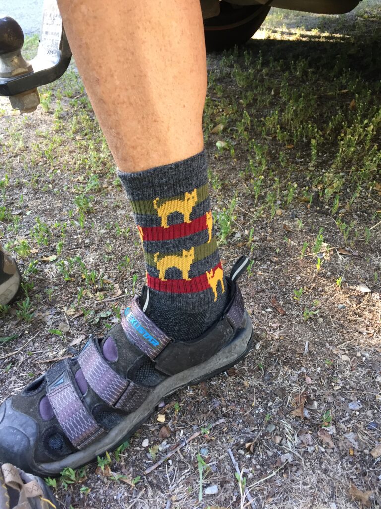
Once that was straightened out, we headed into Missoula while his new phone was loading up to stop at a local bike shop (to pick up gear and some bike gooodies)
…like these cool socks!
and to visit the headquarters of Adventure Cycling Association, the organization that created the Trans-America Route that Russ is riding (and many others: they have bike routes for every region of the US, and for every level of biking ability. They even have supported tours.). They gave us a full tour of the building, with its many bicycles both modern and antique, and Russ got his ice cream (the real reason we stopped by). He even got his picture taken for their ‘wall of fame’. We saw Theo Gabriel’s picture, too! He and some friends are riding the same route as Russ, but in reverse. Two Ashfielders, riding across the Unted States at the same time. We must have crossed paths somewhere near Breckinridge, CO, but missed seeing him.
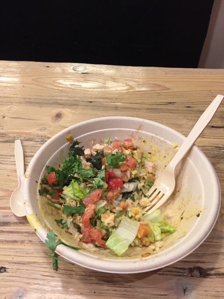
After that, we stopped at Five on Black for about the most delicious lunch I’ve ever had. They serve Brazilian Rice Bowls, which I’d never heard of, but which sounded good, so we went on the recommendation of our salesman at the bike shop. Kind of works like Chipotle’s: you choose your base, meat, sauces and sides to create your own combination. I chose rice and greens as a base, with roasted chicken in a spicy coconut sauce, and coconut roasted sweet potatoes on the side, topped with tomato vinaigrette and cilantro. YUM!!!!
I barely got a picture in before I gobbled this whole thing up!
Back at AT&T, there was more bad news: almost none of Russ’s apps had downloaded. At that point, he started to panick because he needs the riding apps for his maps, bike maintenance records, etc. It was a perfect storm of the kind of stresses his TBI brain can’t handle. The bored, dismissive salesperson was no help, either mumbling instructions that neither of us heard clearly, or manipulating the phone so quickly that we couldn’t follow. I finally dragged Russ and the phone out of there with a promise to return tomorrow if things were not fixed by then (they let him keep his old phone, just in case). Back at Mark’s house, the download still seemed to be frozen. It was Mark who finally asked if we’d tried turning it off and rebooting it. You would think the guy at AT&T might have suggested that, but I guess he couldn’t be bothered.
Russ was relieved that we would not have to stay another day and drive into the busy city of Missoula (another thing he hates), and I was relieved not to have Russ in one of his meltdowns.
The next day I stopped at the local home and ranch store (western version of home and garden) to get my propane tank topped off, not knowing it was ½ price day. While I waited in line, I struck up a conversation with the guy ahead of me about the Jan. 6 investigations (fools rush in). He was of the Democrats are destroying America camp. Somehow, the discussion turned quickly to religion, and that was when I found out that I am not a Christian, and am most definitely going to hell, because I don’t believe that the Bible is the inerrant word of God, written by God. Who knew? Later, some guy driving by in a pickup truck yelled “Go home!” First blatantly negative interaction I’ve had (mind you, I’ve gotten some stink eye for my “End Gun Violence” shirt.) The very nice man who topped off my propane apologized for the a$$hole in the truck, and said people are getting grumpy about the growth in population in Montana (darn newcomers!). Whatever.
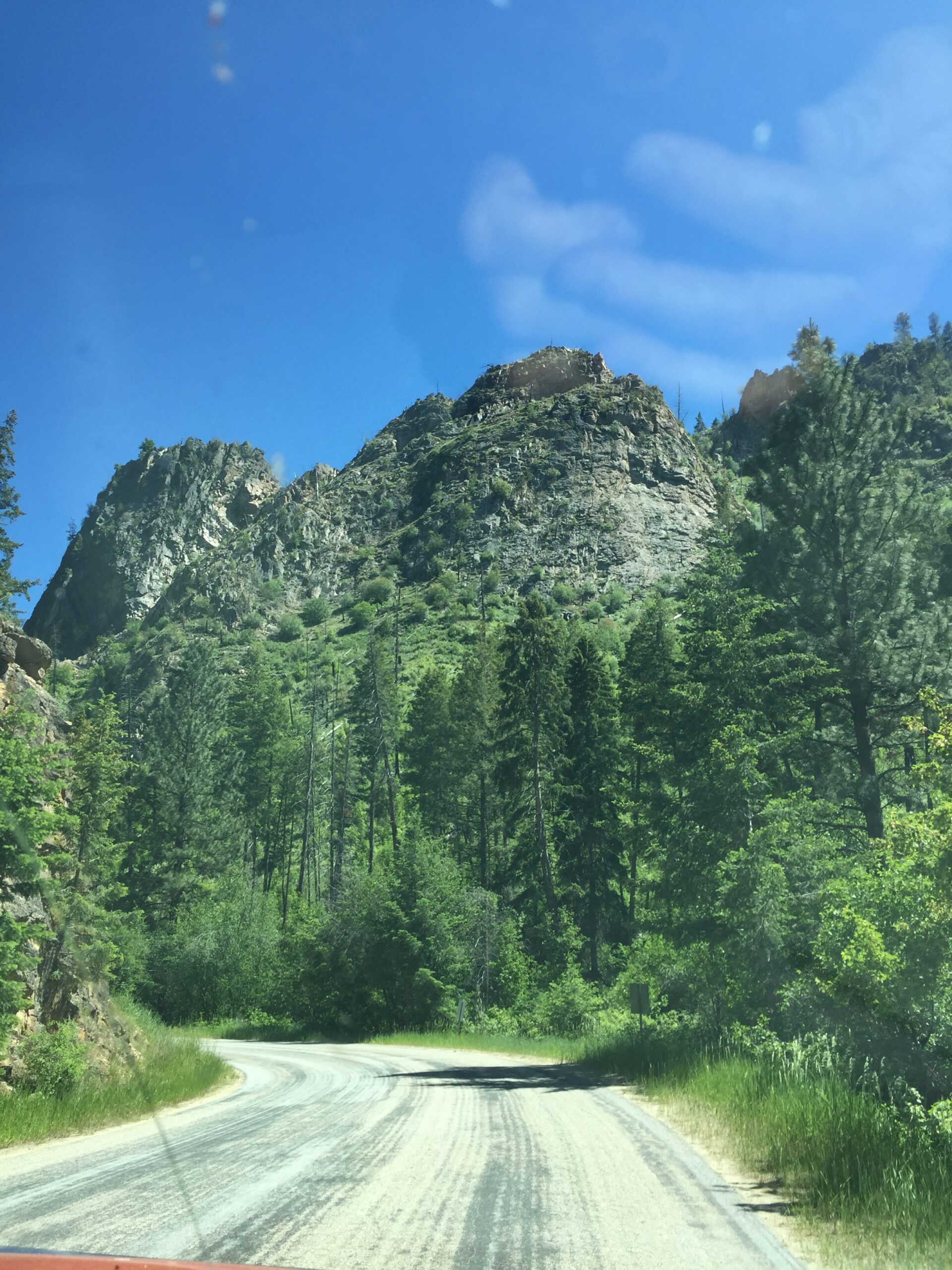
Back into beautiful Idaho! Green and cool, and smelling of cedar! Sure am glad I got those brakes fixed, because there were some gnarly switchbacks coming down from Lolo Pass.
Hamilton side of the BitterrootsIdaho side of the BitterrootsI decided this could be my next homeTowering cedars
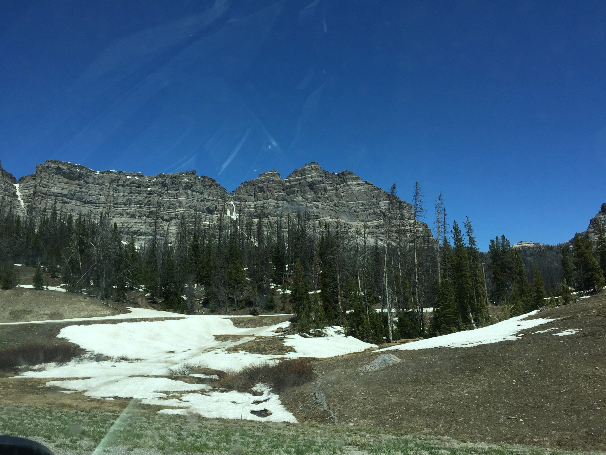
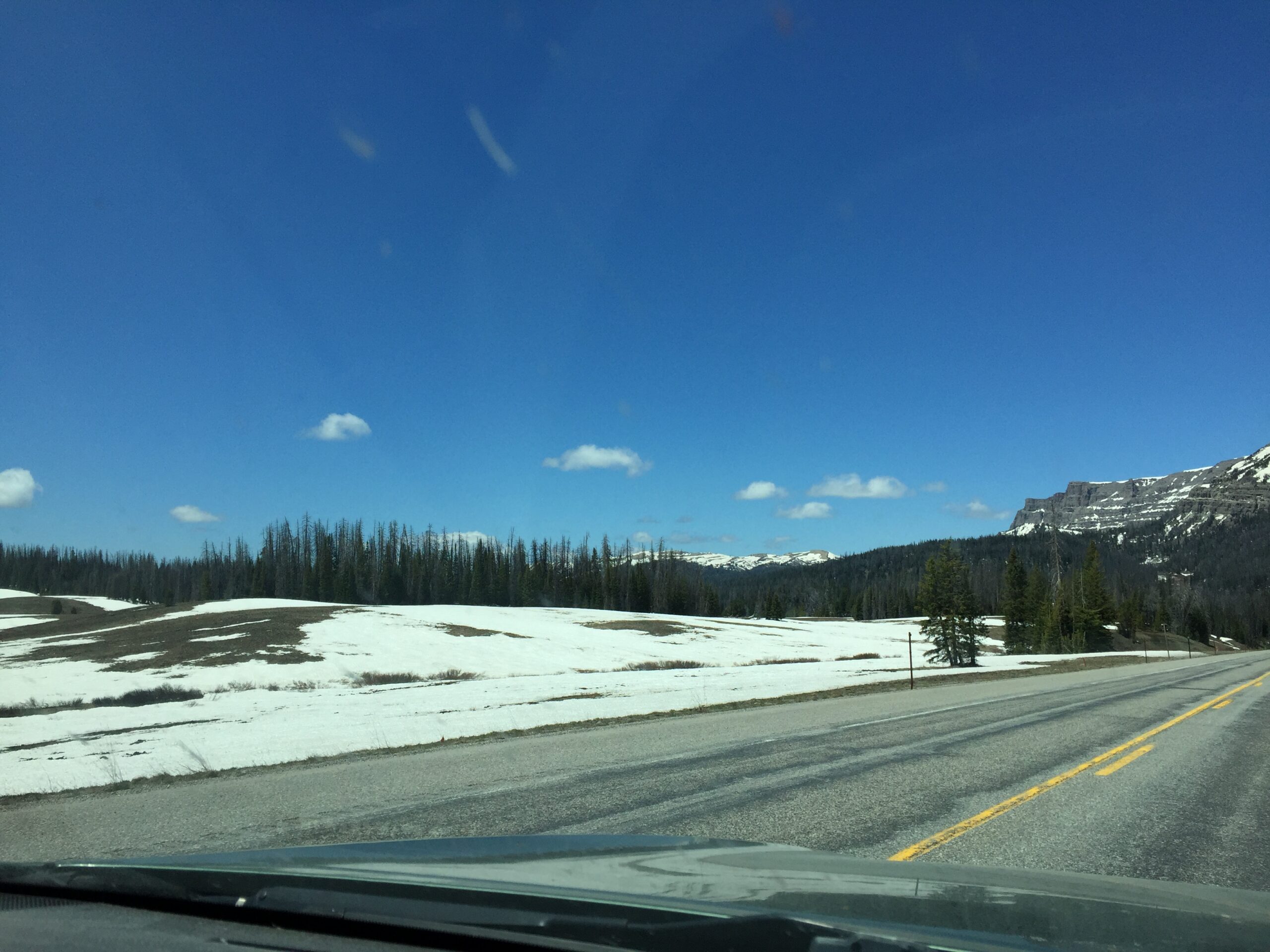
I’m at the Powell Campground, part of Clearwater National Park, right on the Lochsa (pronounced Lock-saw). In the river canyon there is no cell service whatsoever, so I headed up to Lochsa Lodge, hoping they might have wifi, as Russ needed to know where I was.
And that was the second nasty interaction of this whole trip. I sat at the bar, thinking I’d get a soda, log onto the internet, and be gone. I actually thought the guy was kidding when he said the wifi was for guests of the lodge only. After that, things went rapidly downhill (he was serious, and not nice about it, either). I promptly walked outside, hailed the first passerby, and got the wifi password from her (yay for women of a certain age—we don’t take shit from anyone). Then I found out the password is printed on the bar menu. So what was all that nastiness for? Meh.
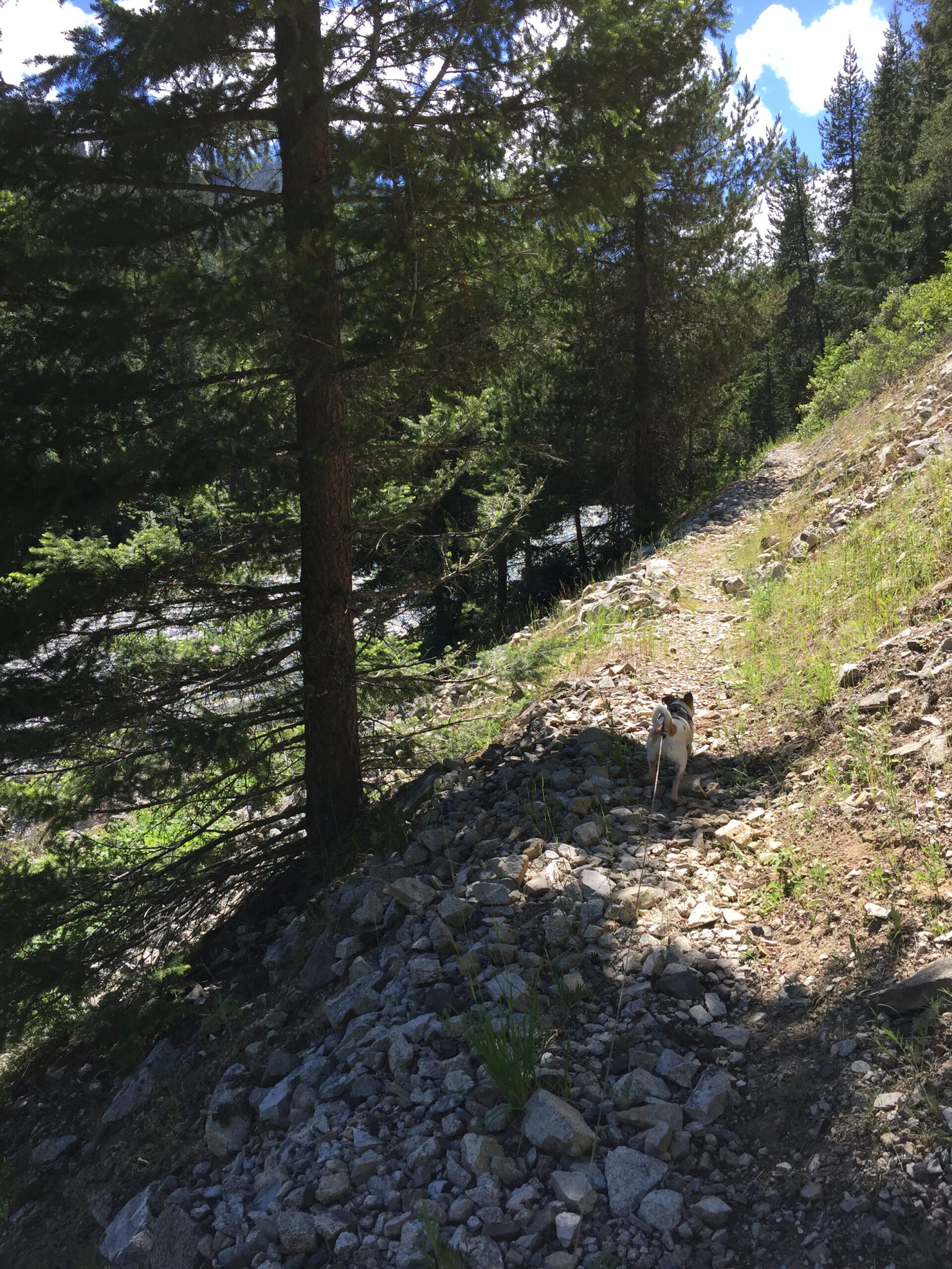
Took the boys out for a short hike on part of the Lewis and Clark trail, and met two young men struggling to mountain bike the same narrow, overgrown, winding trail. I caught up with them where the trail crossed a steep rocky hill. They had given up at that point, acknowledging that it was beyond their abilities. Can’t blame them: I nearly pitched right down that hill myself.
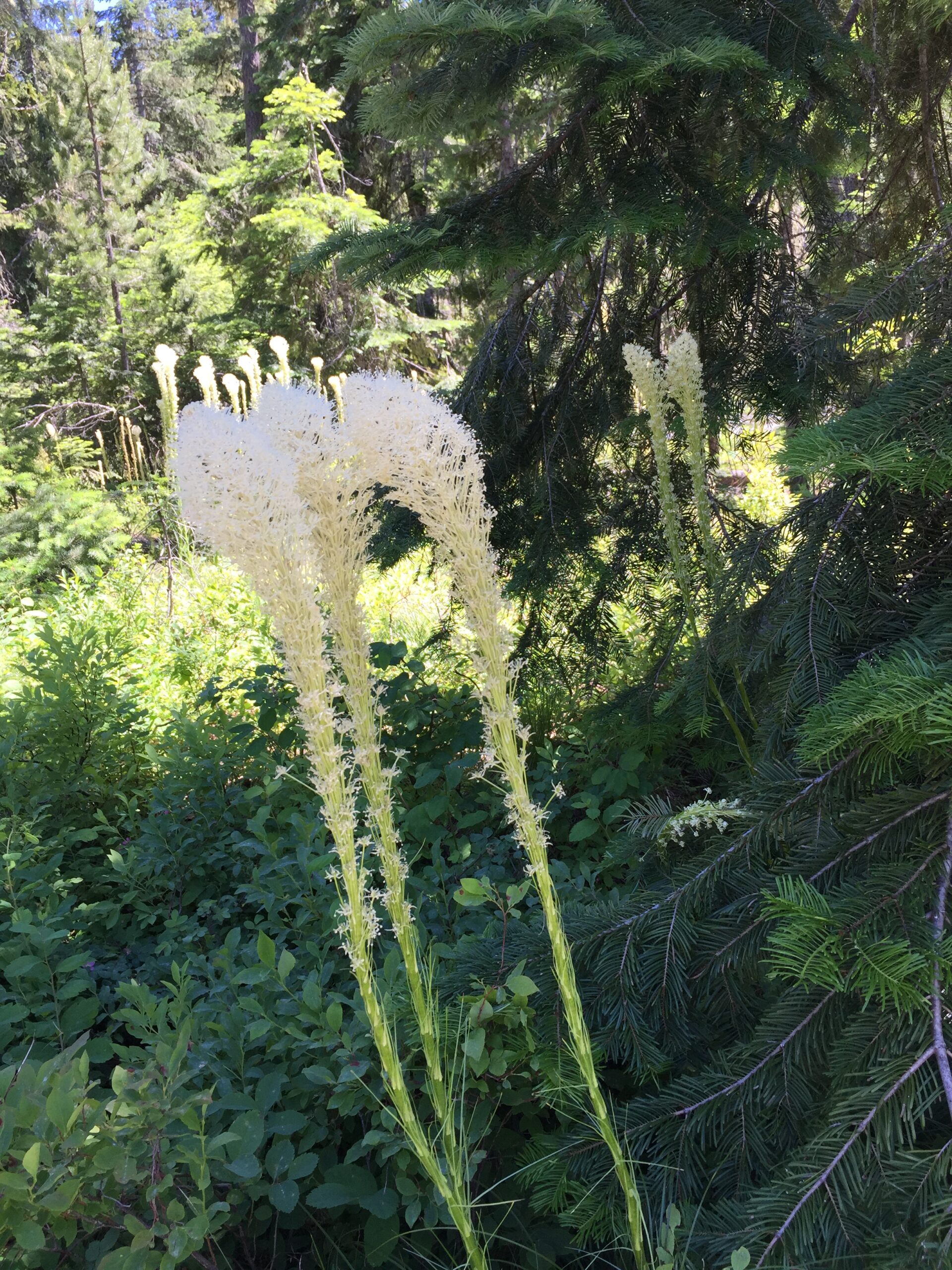
Bear grass plumesLochsa RiverDeep shadeLochsa RiverWatch your footing!
On the second day at Powell I headed off to hike a trail my neighbors in camp recommended: about a mile and a half, up to some hot springs (“There might be nude people,” they warned me.). I doubt the dogs or I will be offended. Russ should catch up today: I’ll leave a note on the camper for him, as I’m taking the car.
Didn’t find the trail. I found a dirt road, and took that. Parked the Subaru about a mile in, and walked from there, up a dirt road in perfect condition along narrow creeks tumbling down the mountains, under giant old cedar trees. The forest primeval. Clearly, people had camped here; I found several old fire rings. Back at camp, I checked my maps: it was a forest road, open to anyone, and it went on for miles.
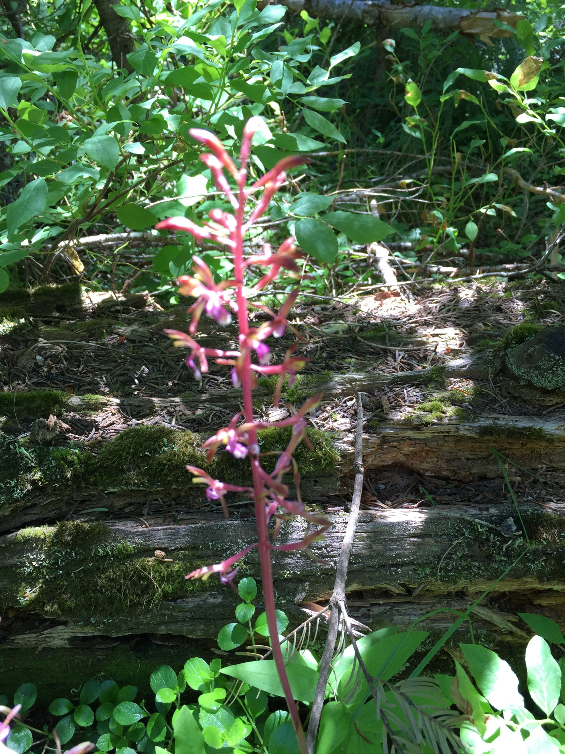
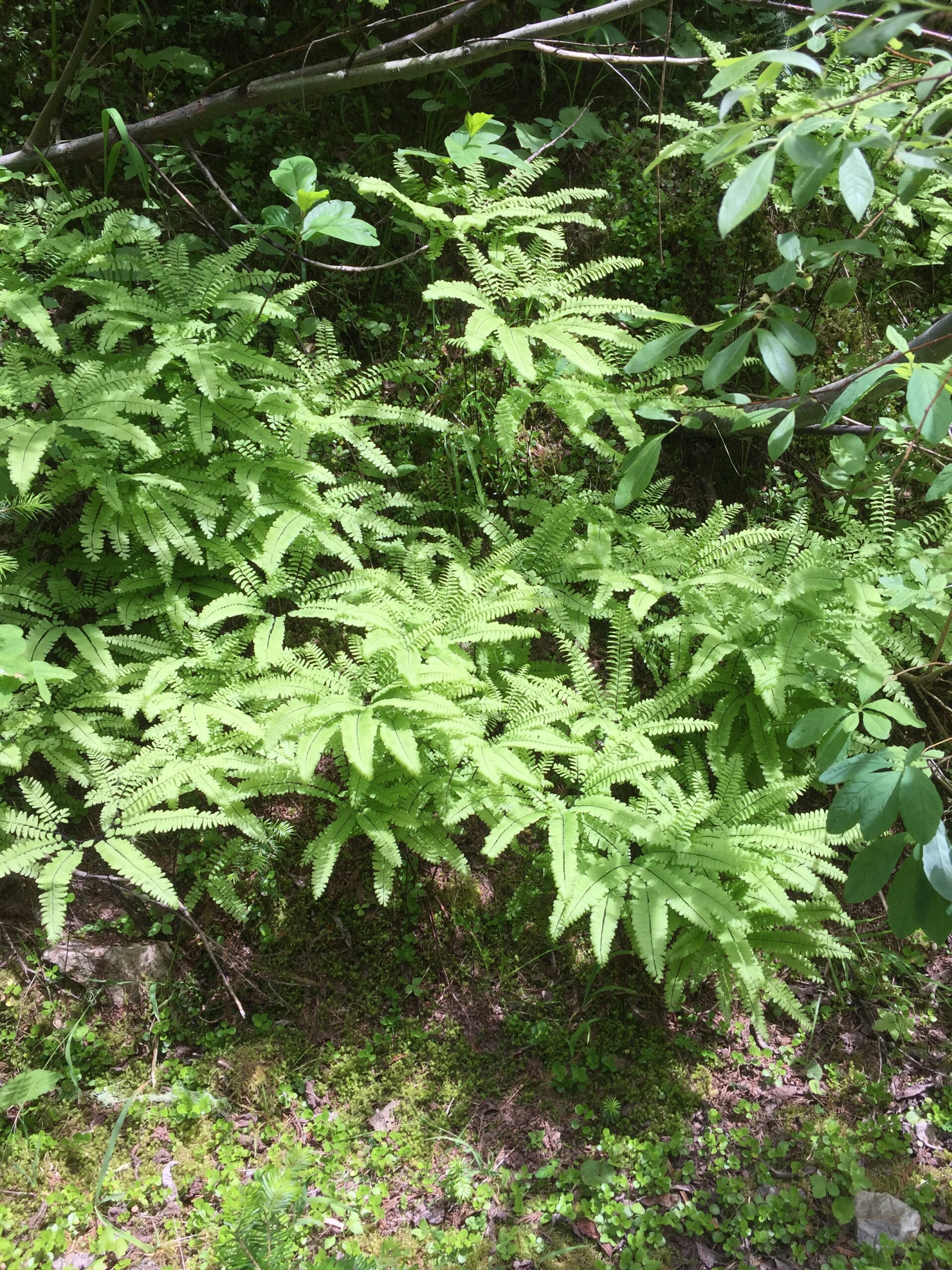
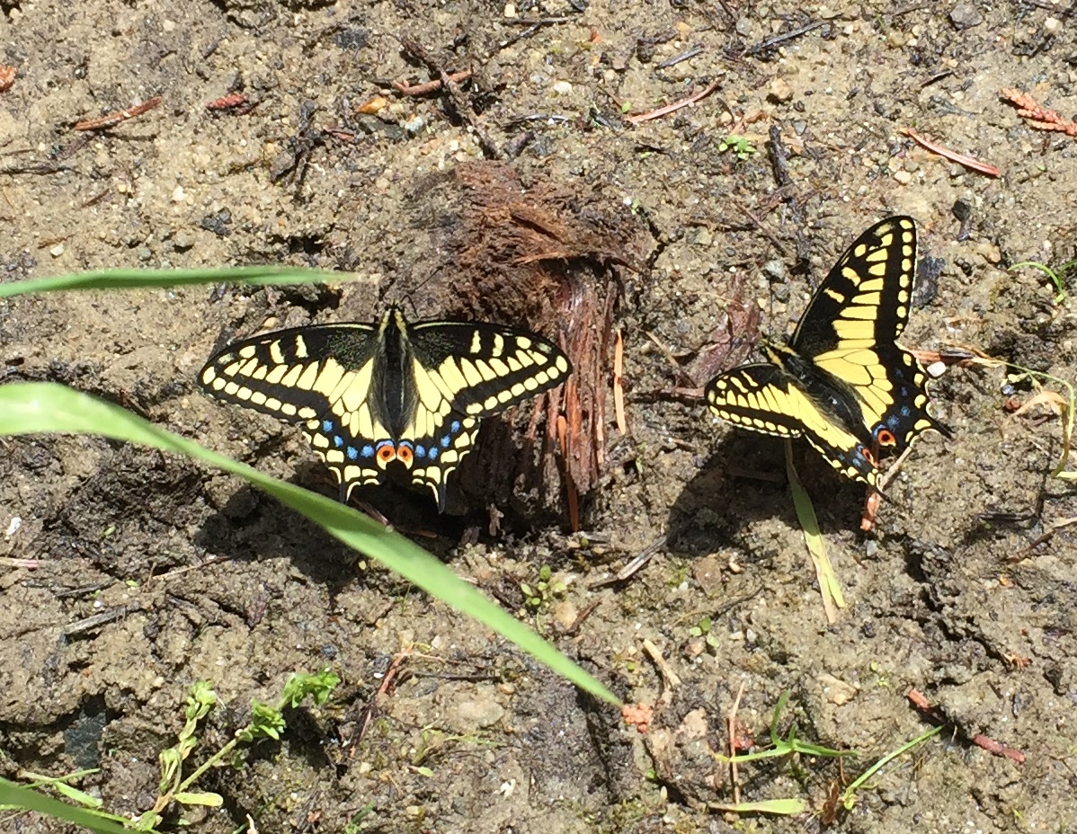
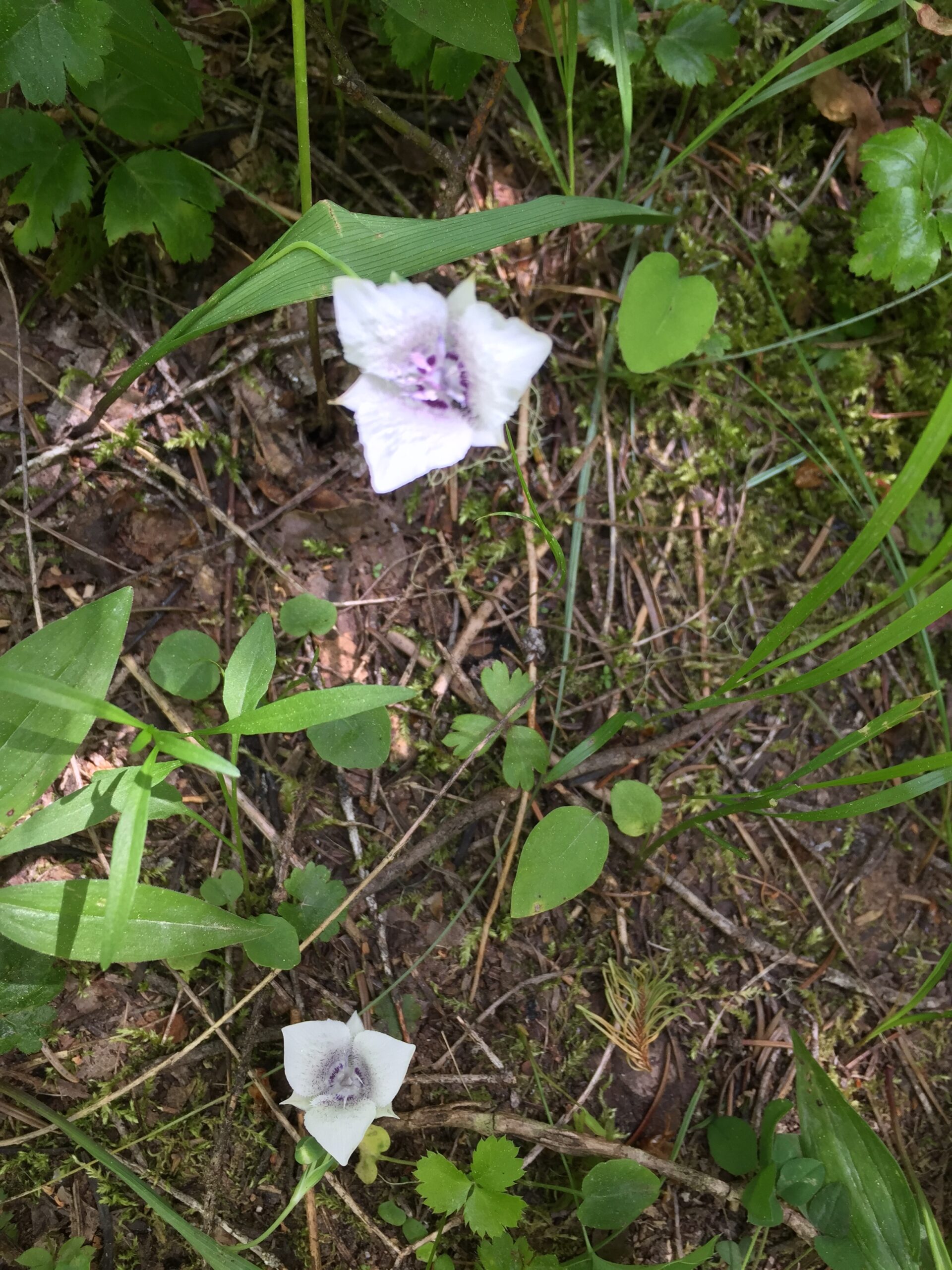
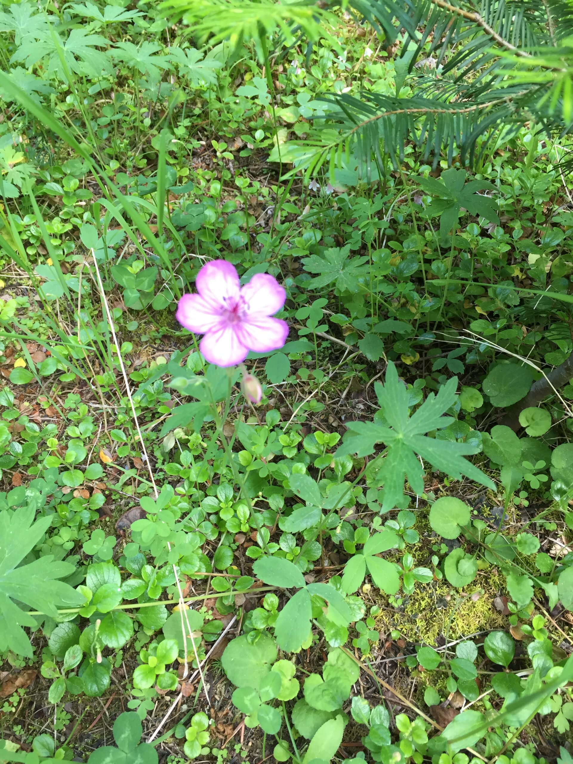
I was told that many creeks are being given their original Indian namesGiant old-growth cedarsMaidenhair fernsButterflies drinking from a puddleButterflies drinkingElegant Cat’s EarWild geranium
Russ arrived right after I’d gotten back from my hike. Met a nice couple near my campsite; she was from Westfield, Mass. originally. Later, she gave me a copy of a recent Smithsonian Magazine with an article about Bob Leverett, who had discovered old-growth forests in the Berkshires. Russ and I enjoyed that. I wish I could have stayed longer; it was so peaceful, and the hiking opportunities were endless. I ‘m already thinking of a multi-day rafting trip in the area. But time and through cyclists wait for no one, so it’s off to Whitebird, ID.
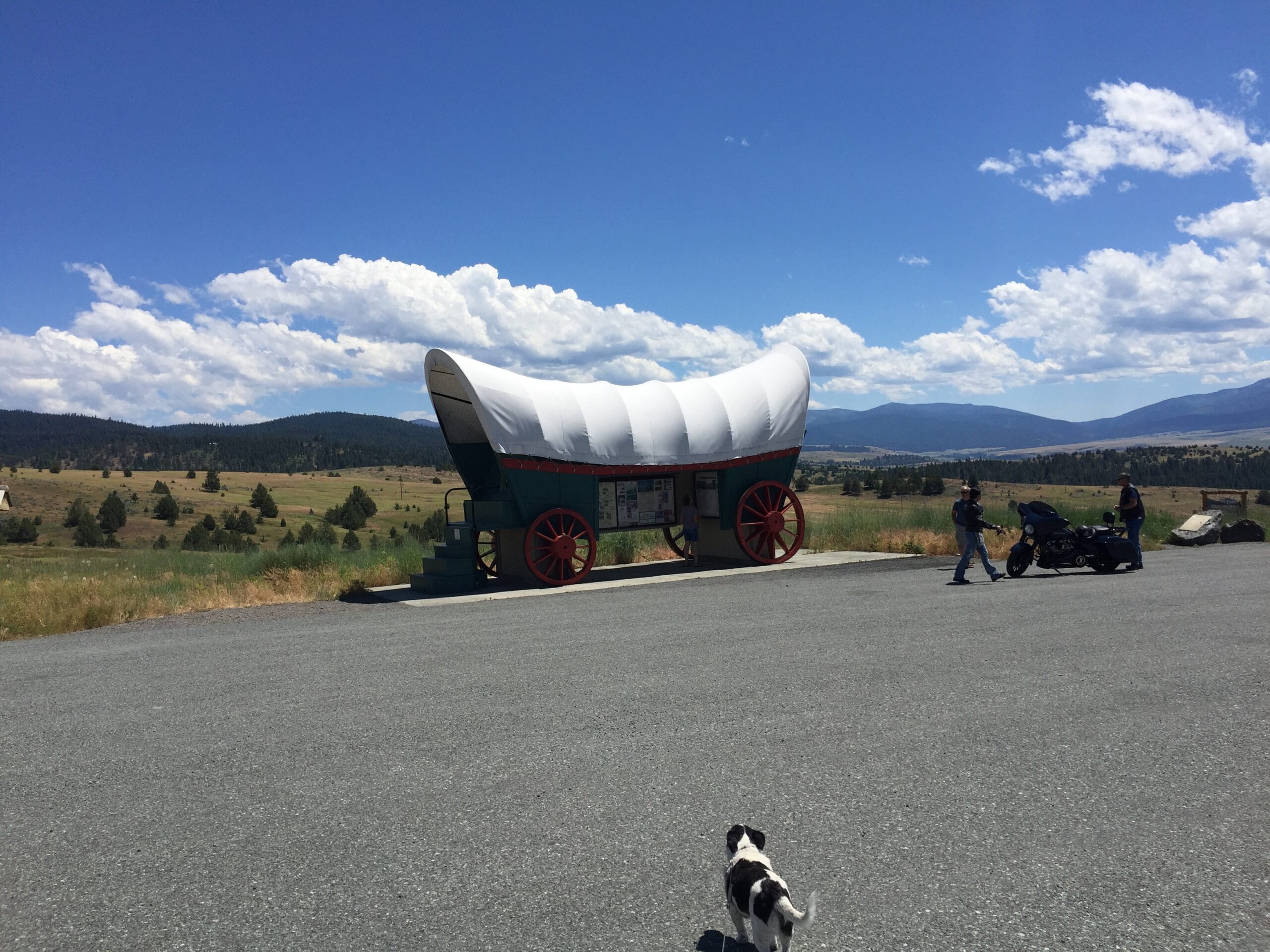
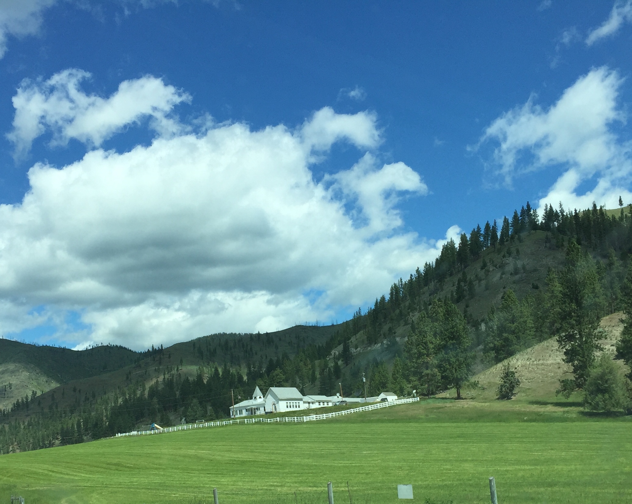
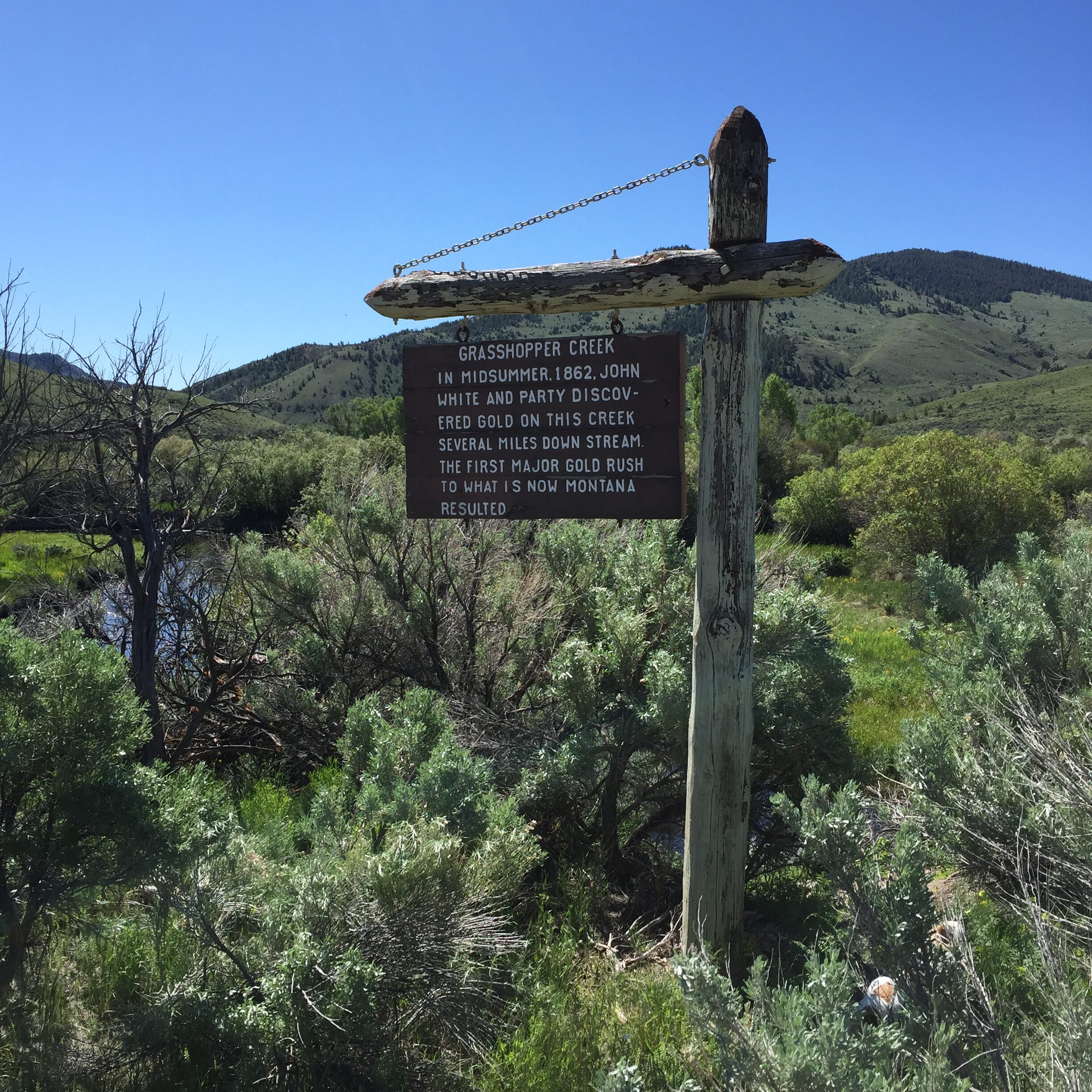
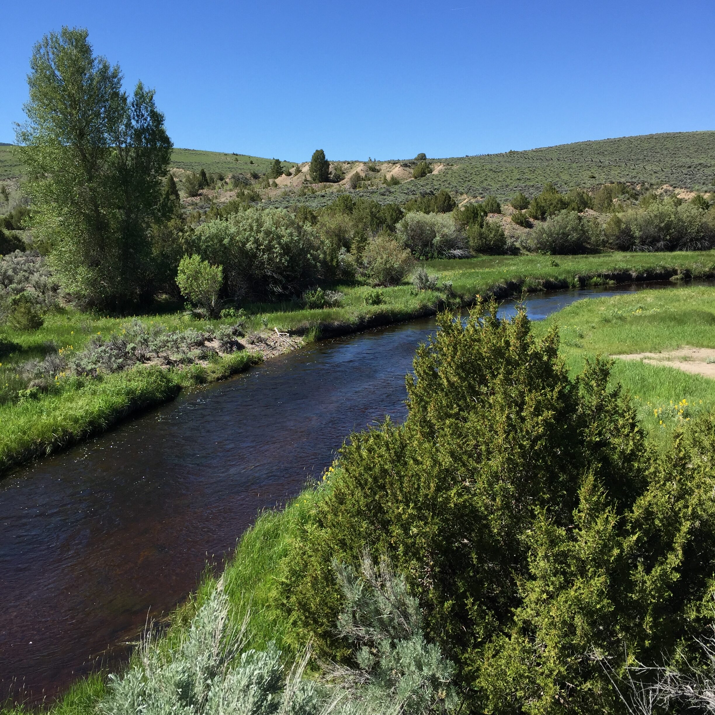
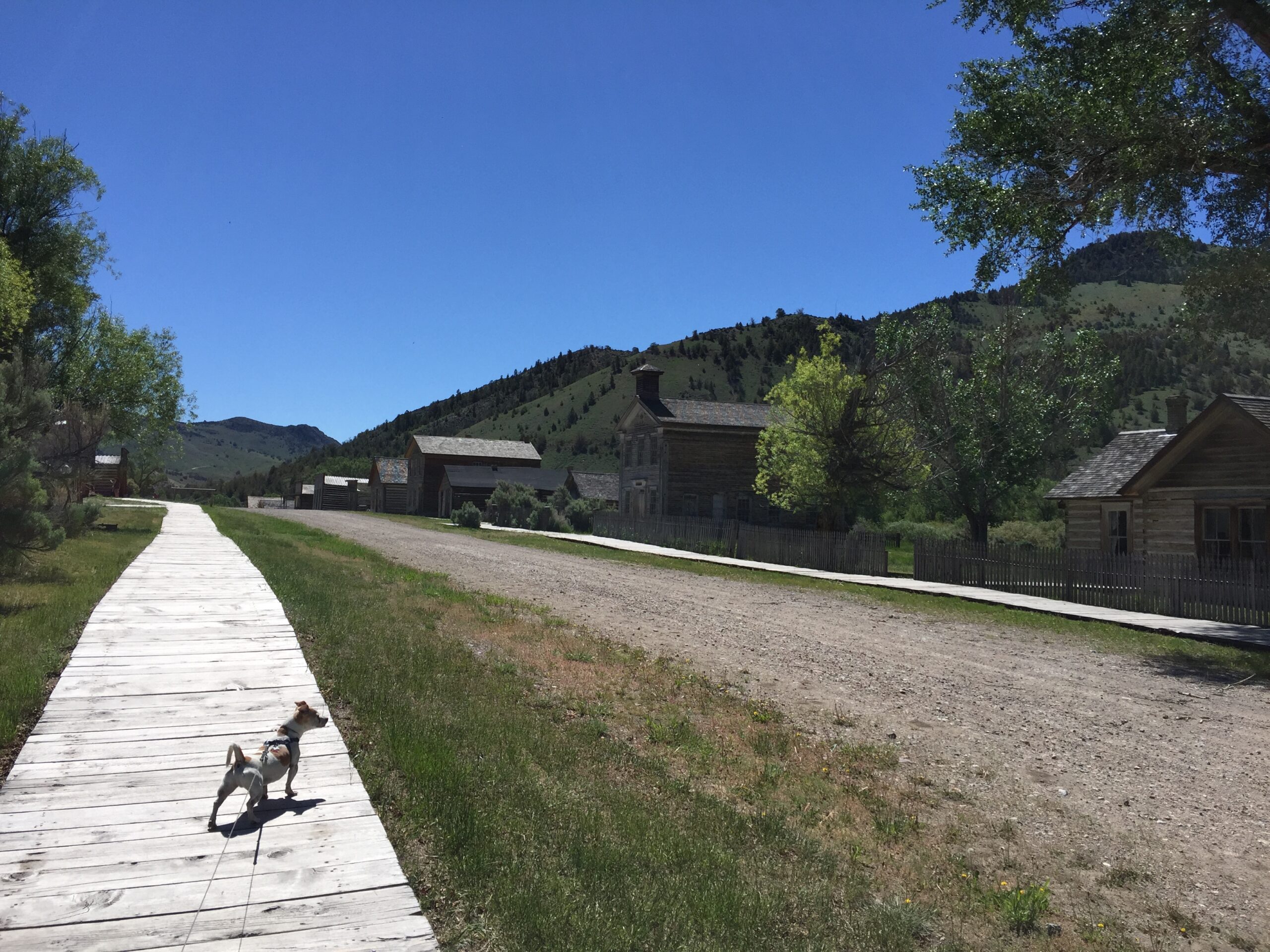
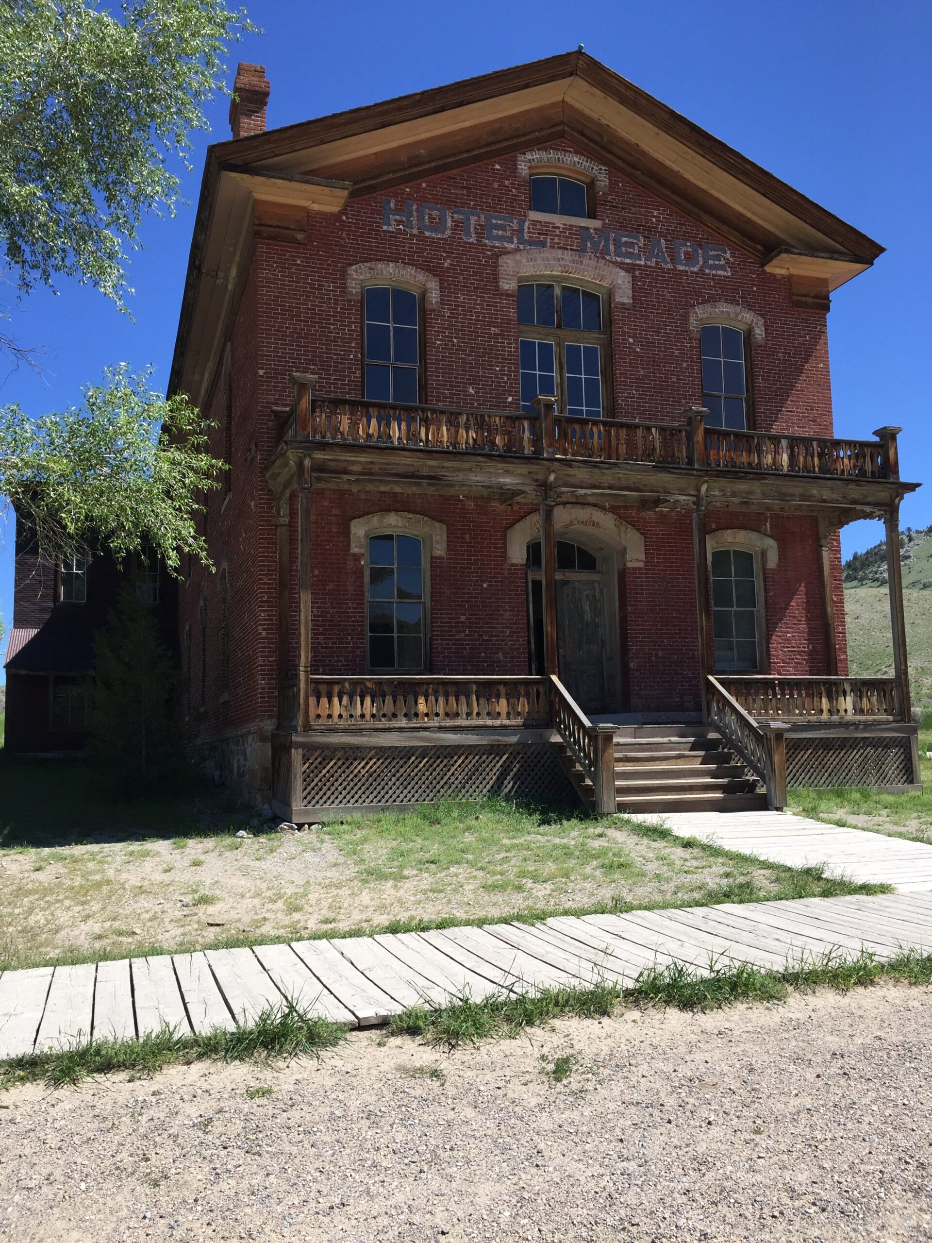
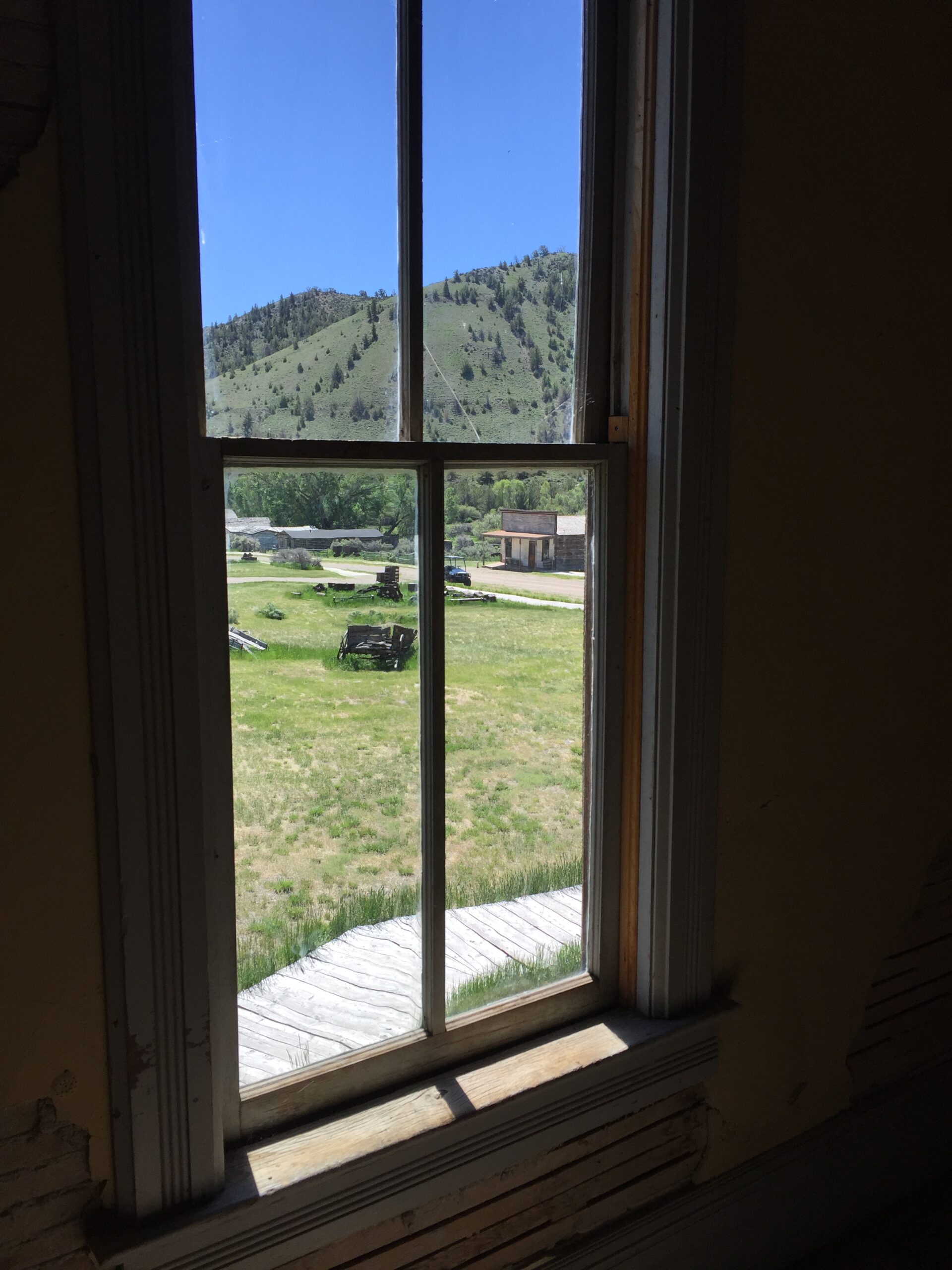
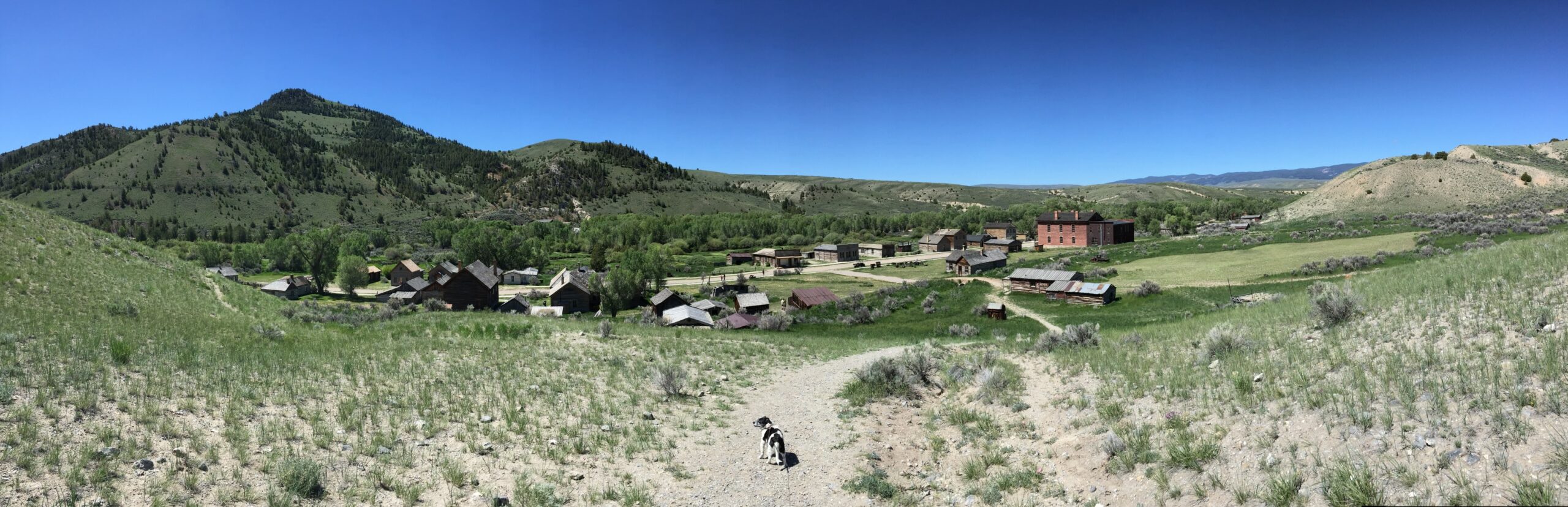
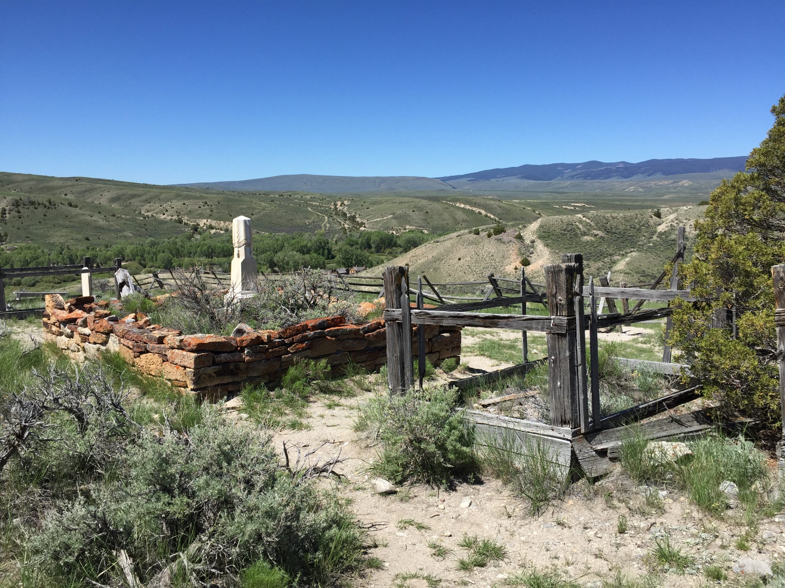
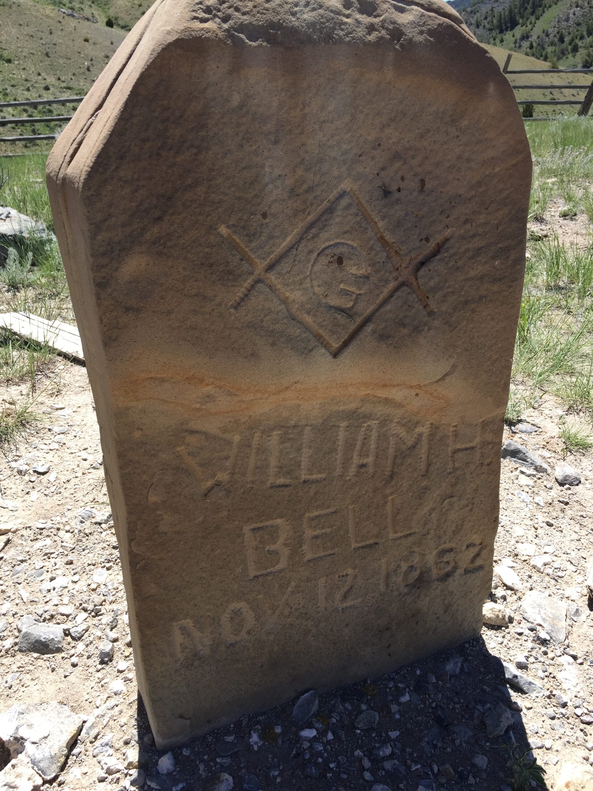
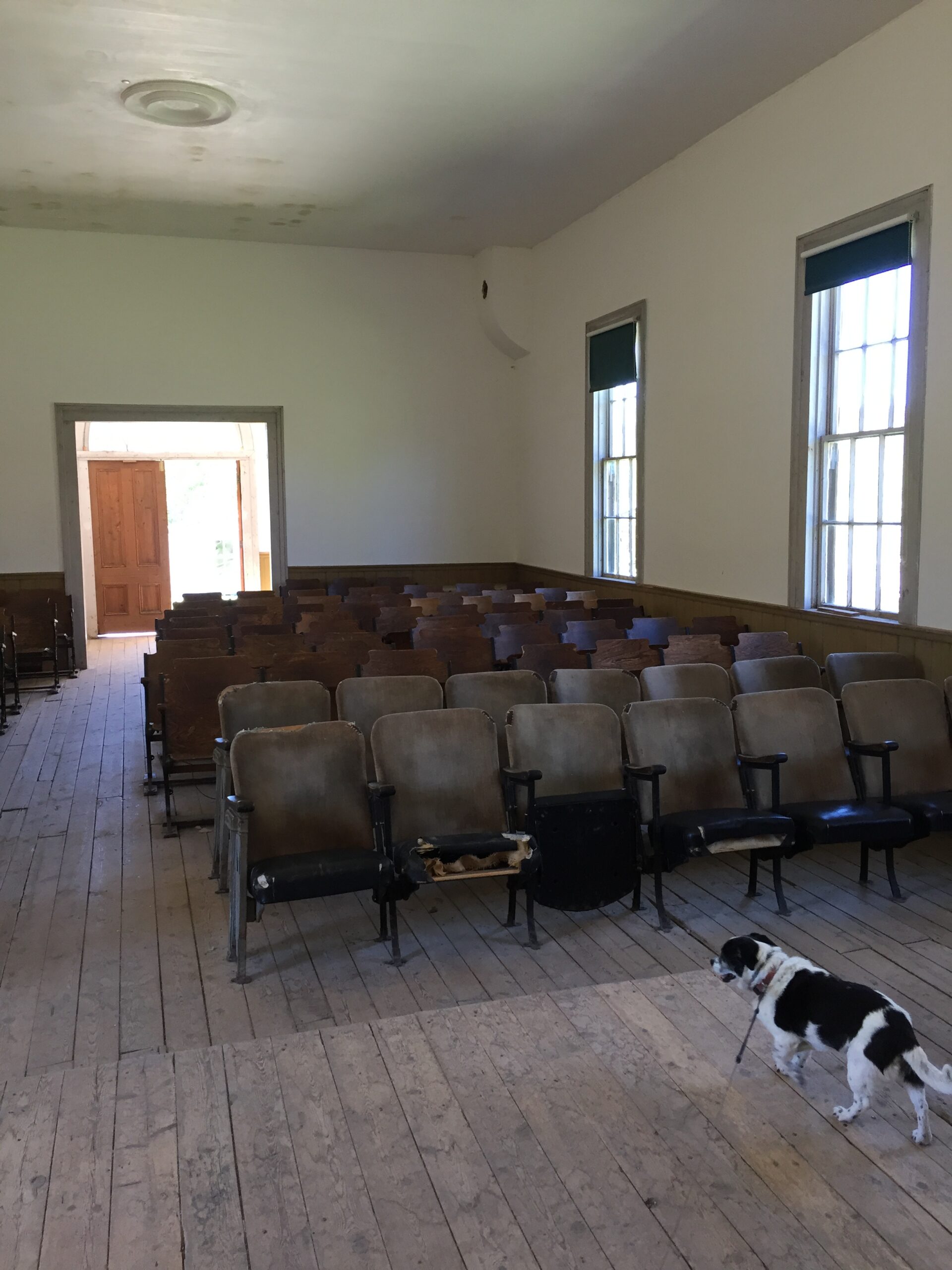
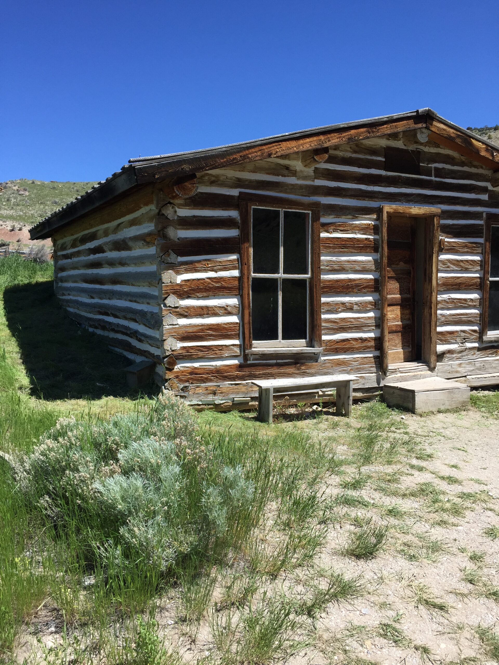
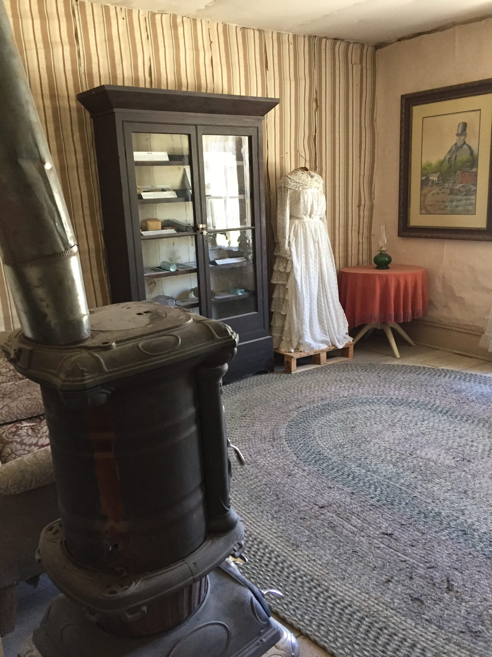
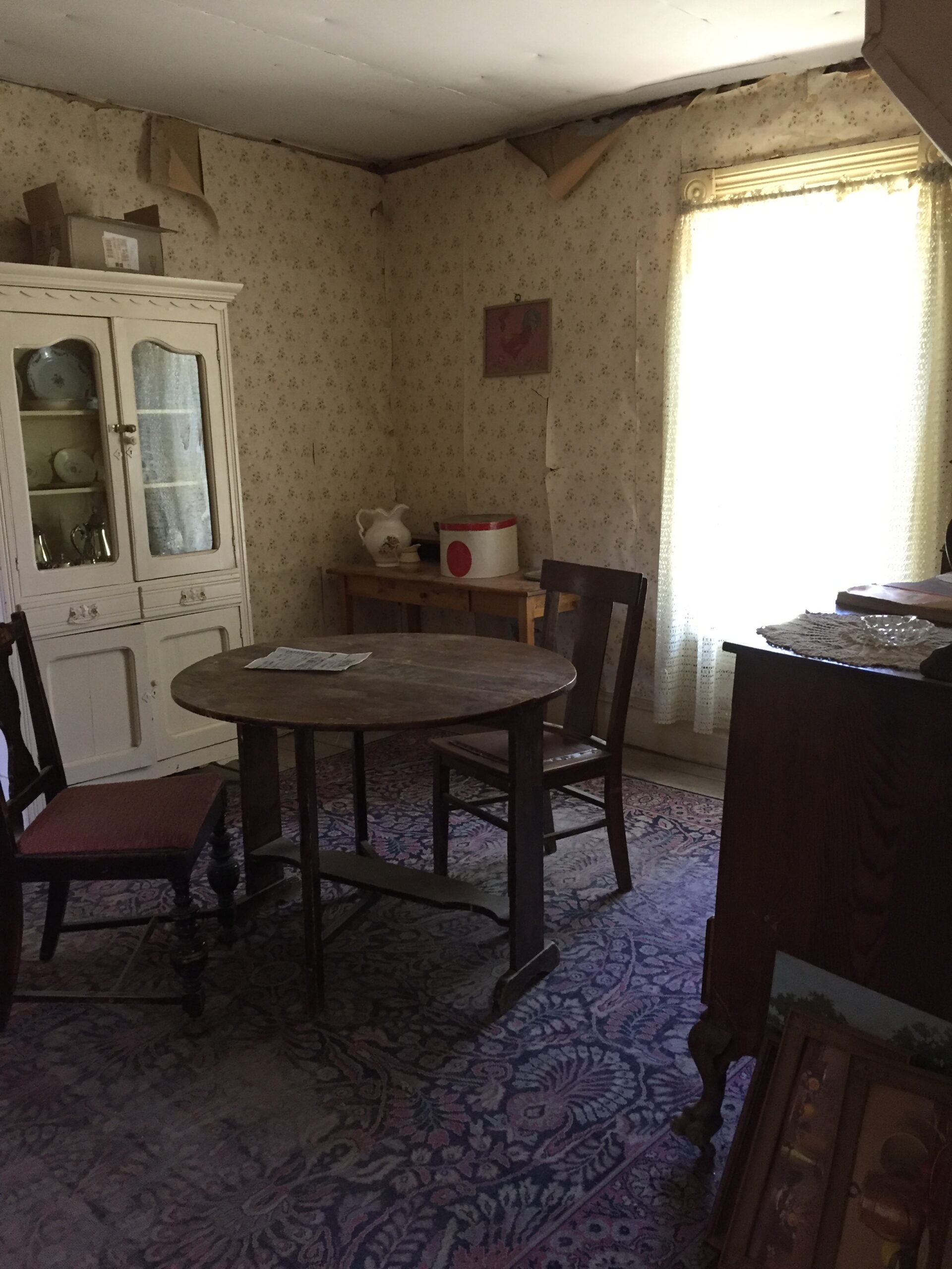
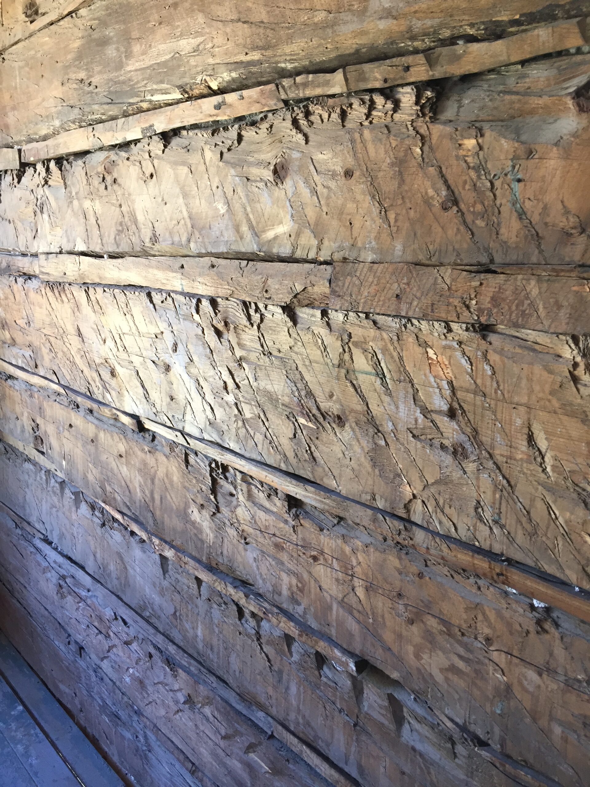
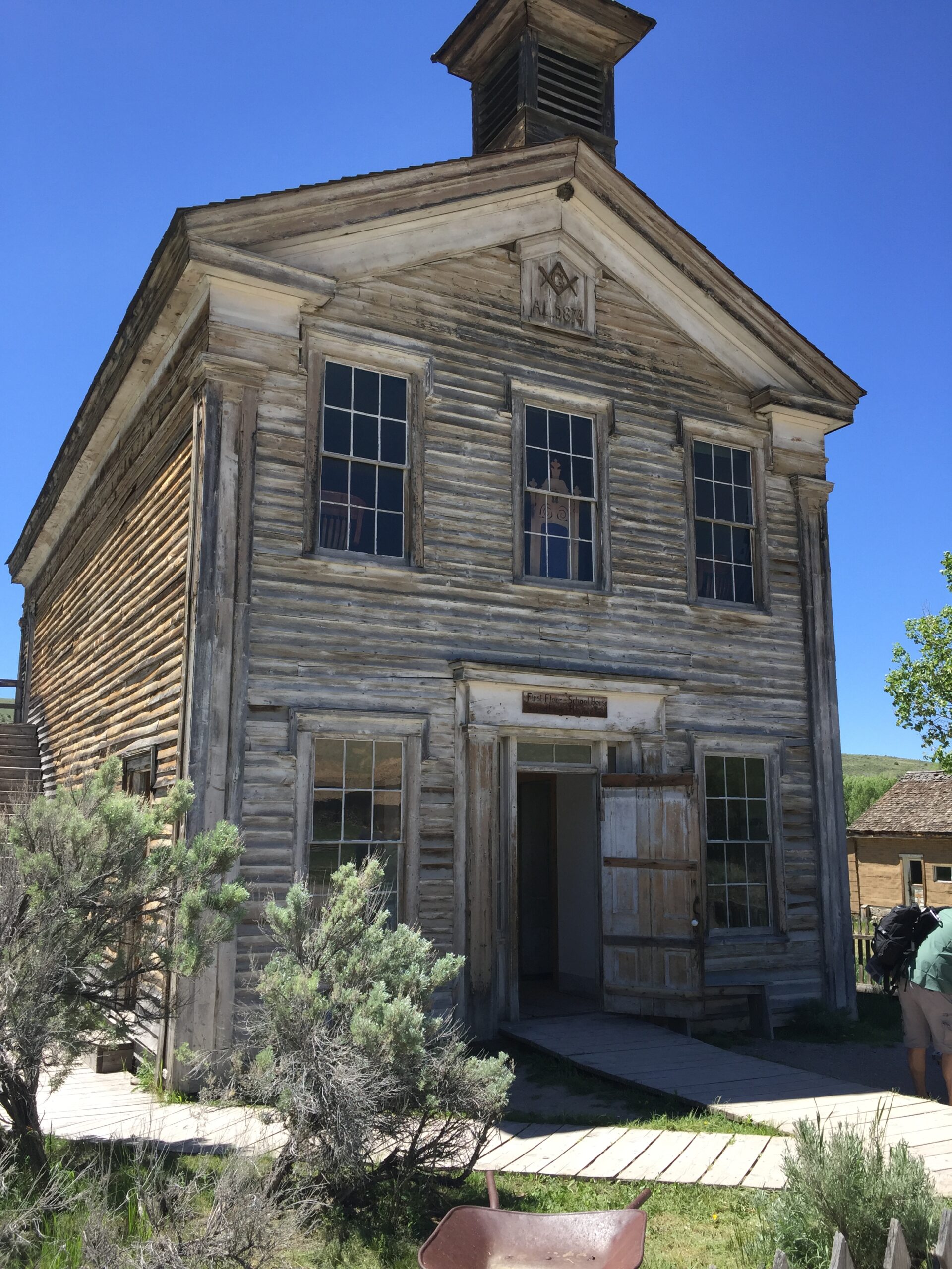
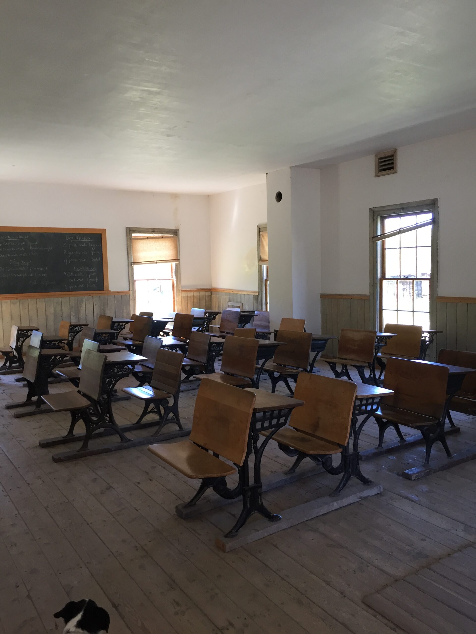
On the way to Harriman, I spotted a sign for Bannack Ghost Town. On a whim, I stopped—and found one of the more fascinating historic sites along our trip. Bannack was a gold boom town in the second half of the 1800s, but declined soon after 1920 and was virtually abandoned by mid-century, although a few residents remained until the 1970s. The remaining buildings have been preserved, and parts of some buildings restored, but most are as they were left.
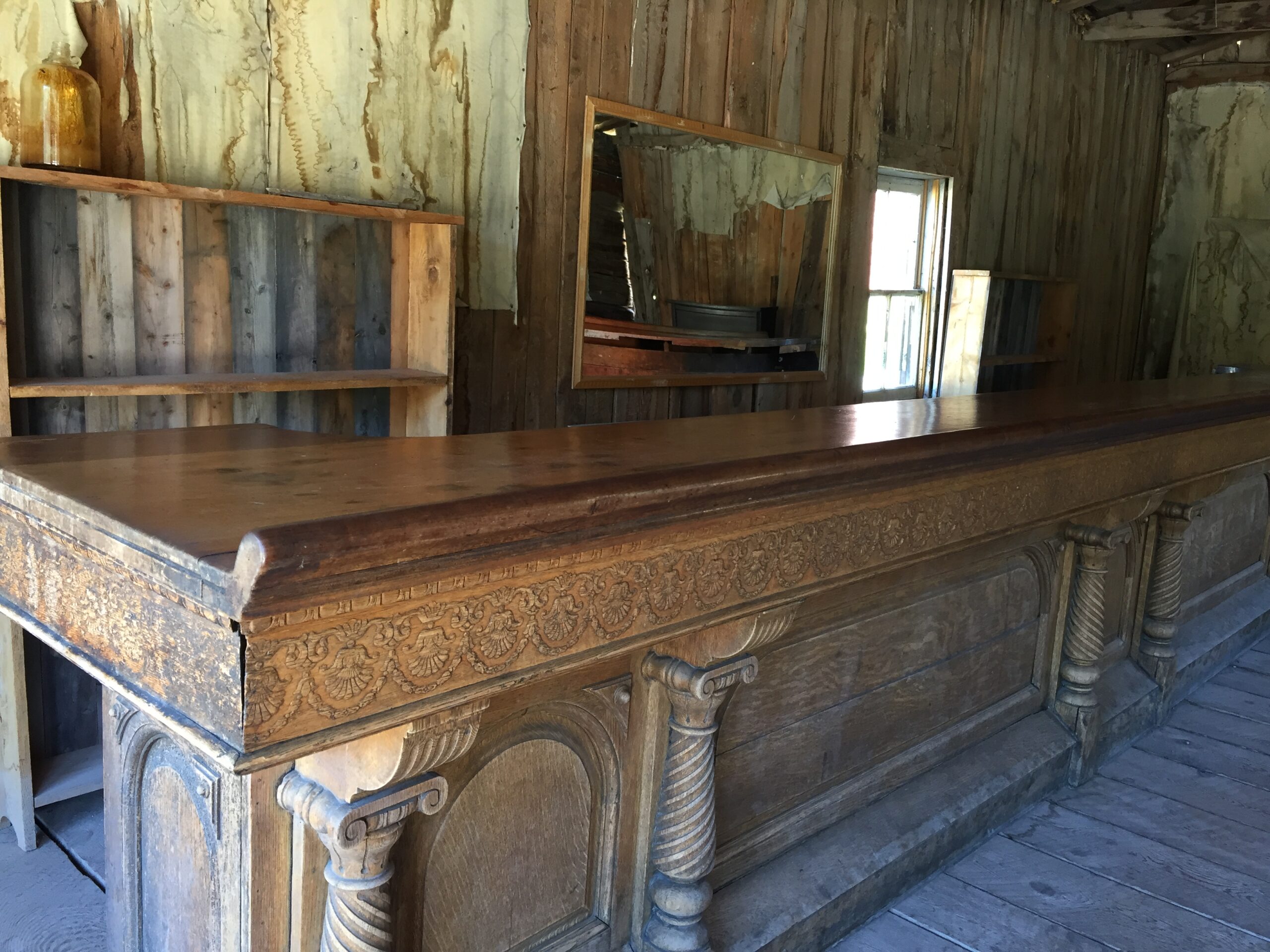
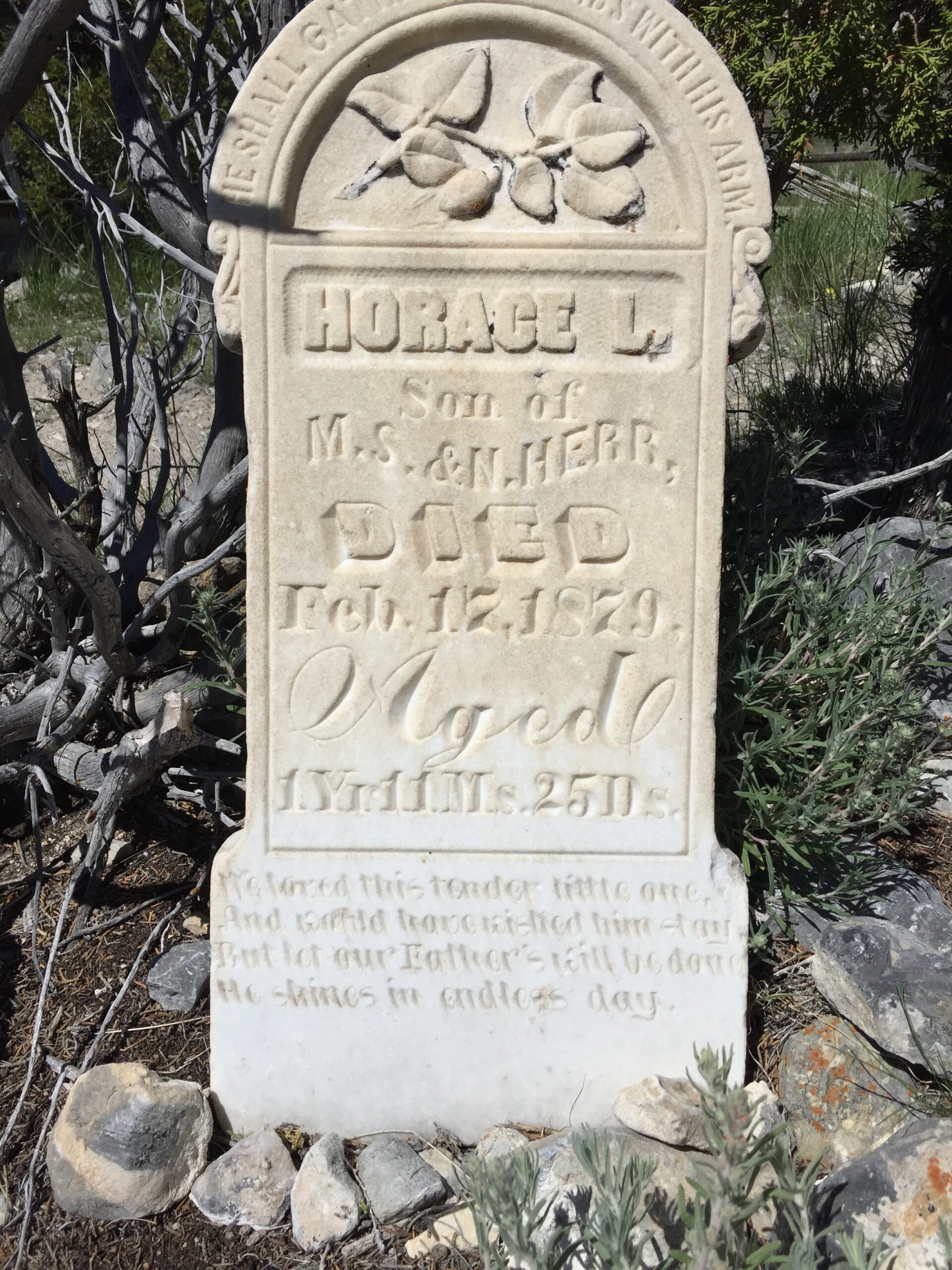
History of the ”Bannack gold rush”Grasshopper Creek, where gold was first discoveredMoe excited to tour the villageThe Hotel MeadeLooking out to the street from the hotel’s second floorMain staircase (restored) in the hotelThe saloon barPanoramic view of town from cemetery hillCemetery stoneThe old cemeteryRough-hewn markerMethodist churchMiner’s cabinInside the doctor’s houseInside the doctor’s houseOld axe hewn timber wallsDownstairs is the schoolroom; upstairs is the Masonic HallOne room school
You could explore any building that was unlocked, although I stepped back hastily off more than one sagging floor. In quite a few cases, there were fragments of old wallpapers dating back to the late 1800s. I love old cemeteries, so of course we had to hike up the hill to the original cemetery, where you could see the whole town laid out below you. And they provided you with an illustrated guidebook, giving the history of the buildings that still exist, along with a general history of the town and surrounding areas.
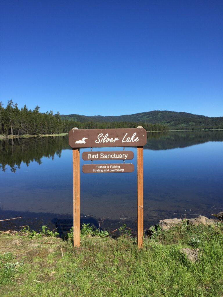
The last day in Henry’s Lake, I headed 25 miles south to Harriman State Park Wildlife Sanctuary (without the dogs, who are only allowed in the parking lots). I took a trail along the Henry’s Fork River for a bit, then decided to be brave and do the 5-mile loop around Silver Lake, with its many waterfowl and beautiful marshy meadows.
It was the perfect day for a hike: sunny, but with a cool breeze, and the loop turned out to be mostly gentle hills or flat. I was rewarded with sightings of Western Tanagers, Pine Siskins, many ducks and pelicans, and a small flock of Wilson’s Phalaropes.
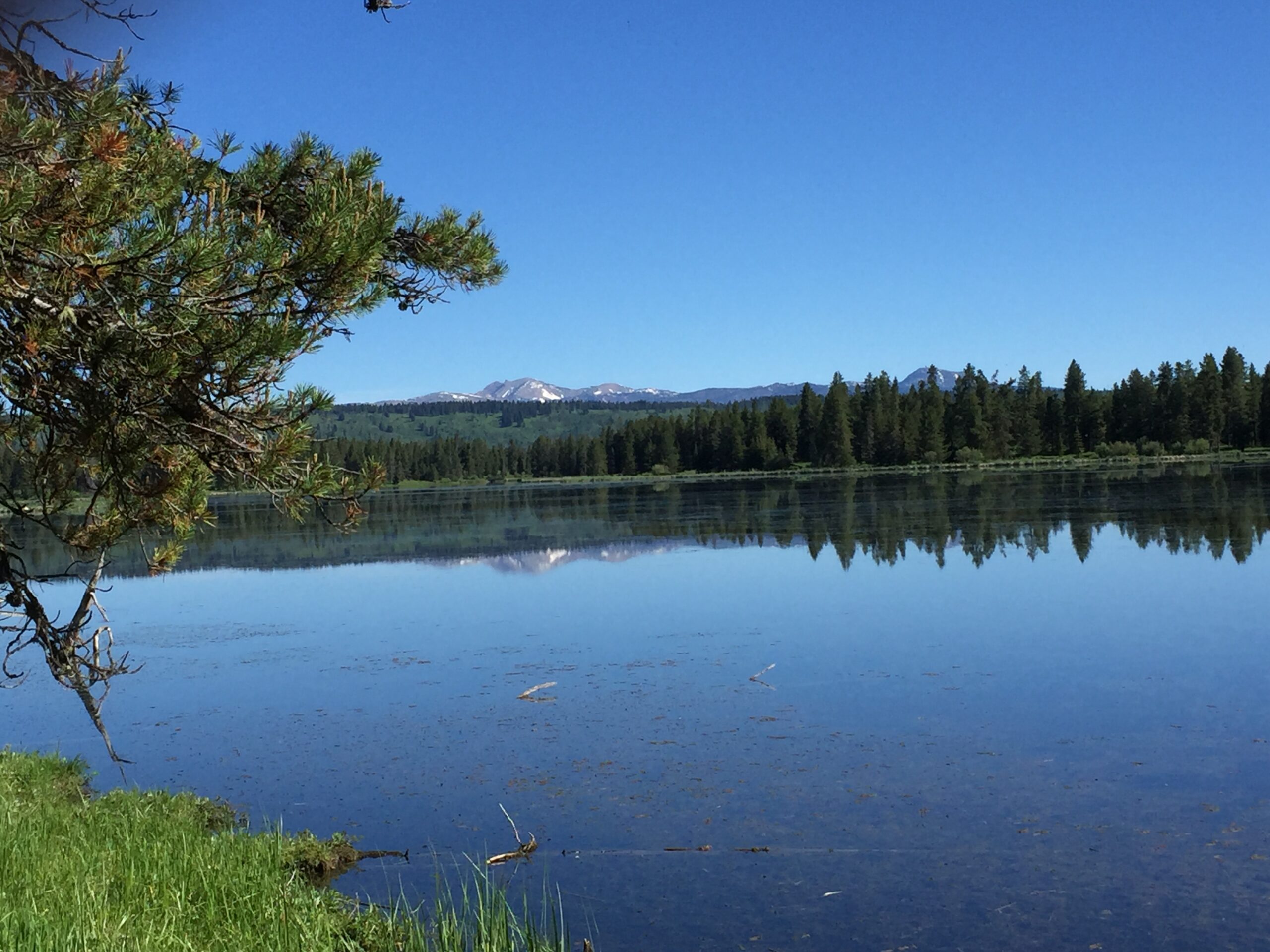
Back at Henry’s Lake, my evening vigils to see wildlife finally paid off, as I saw two young moose cows fairly close by, in the meadows below camp. The small ponds and meadows with their willow thickets are a haven for lots of birds and animals, including moose, mule and white-tail deer, pronghorns, foxes, muskrats, beavers and otters, ducks, pelicans, and sandhill cranes. Early on the last morning before I left, I heard an eerie call, and realized it was the cranes calling as they left to feed for the day.
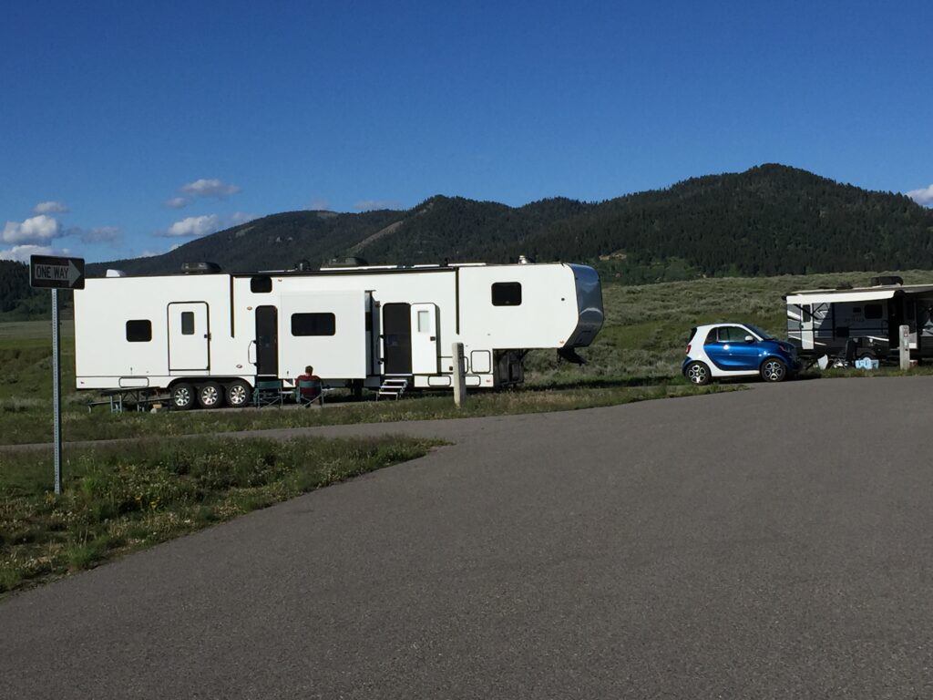
One last shot from Henry’s Lake—I could not resist. People actually ask them if they pull their rig with that car!
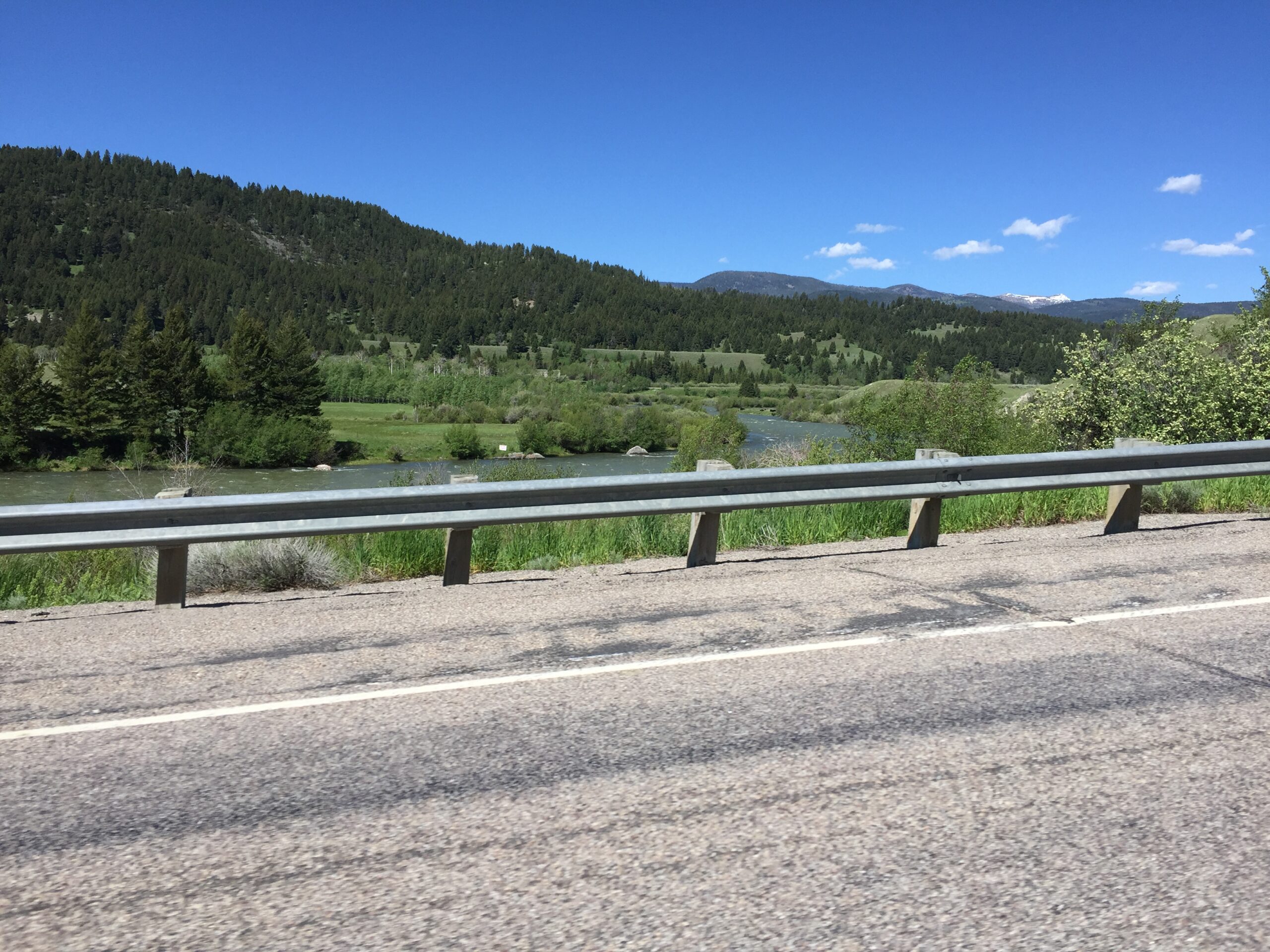
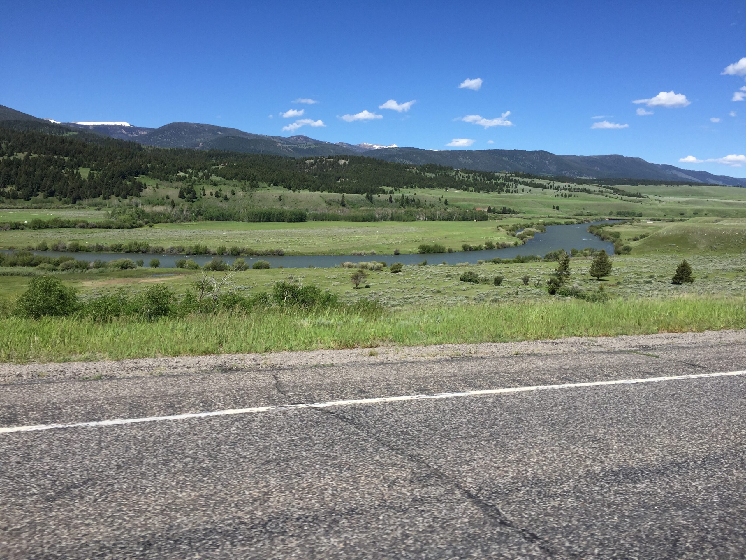
Then it was off to meet Russ in Dillon, MT. The way north into Montana was an angler’s paradise, and catering to fishermen was clearly big business in the area.
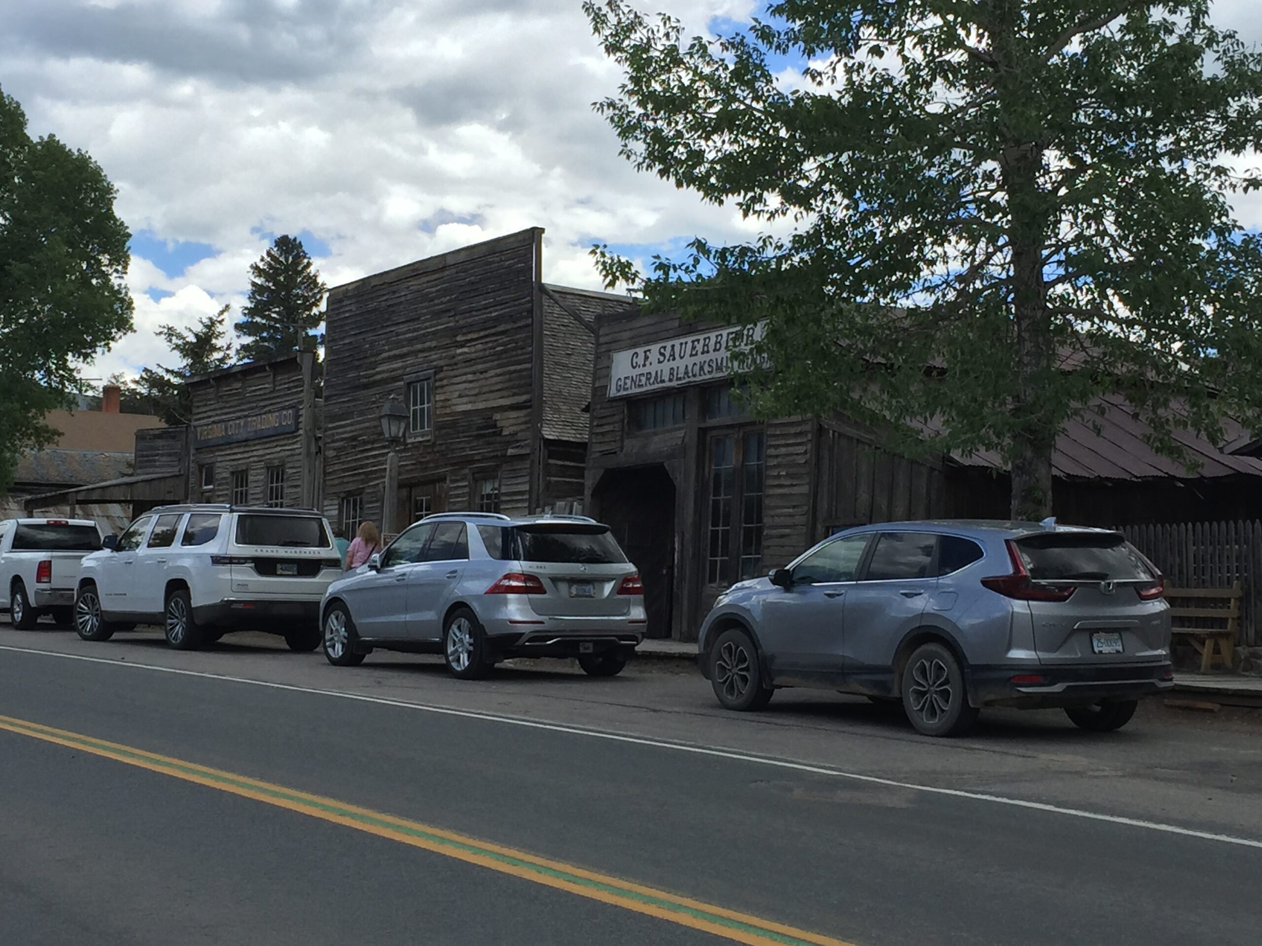
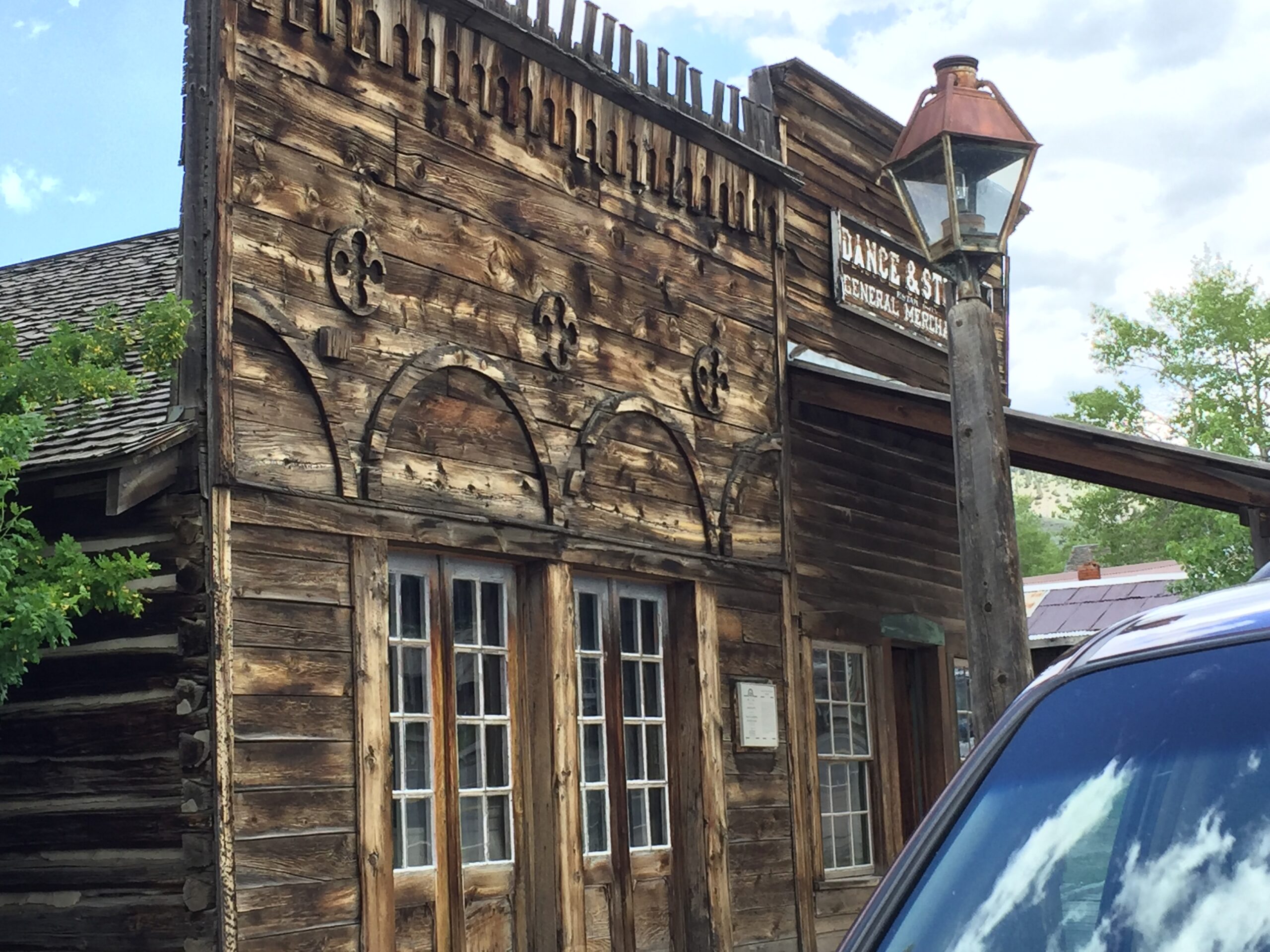
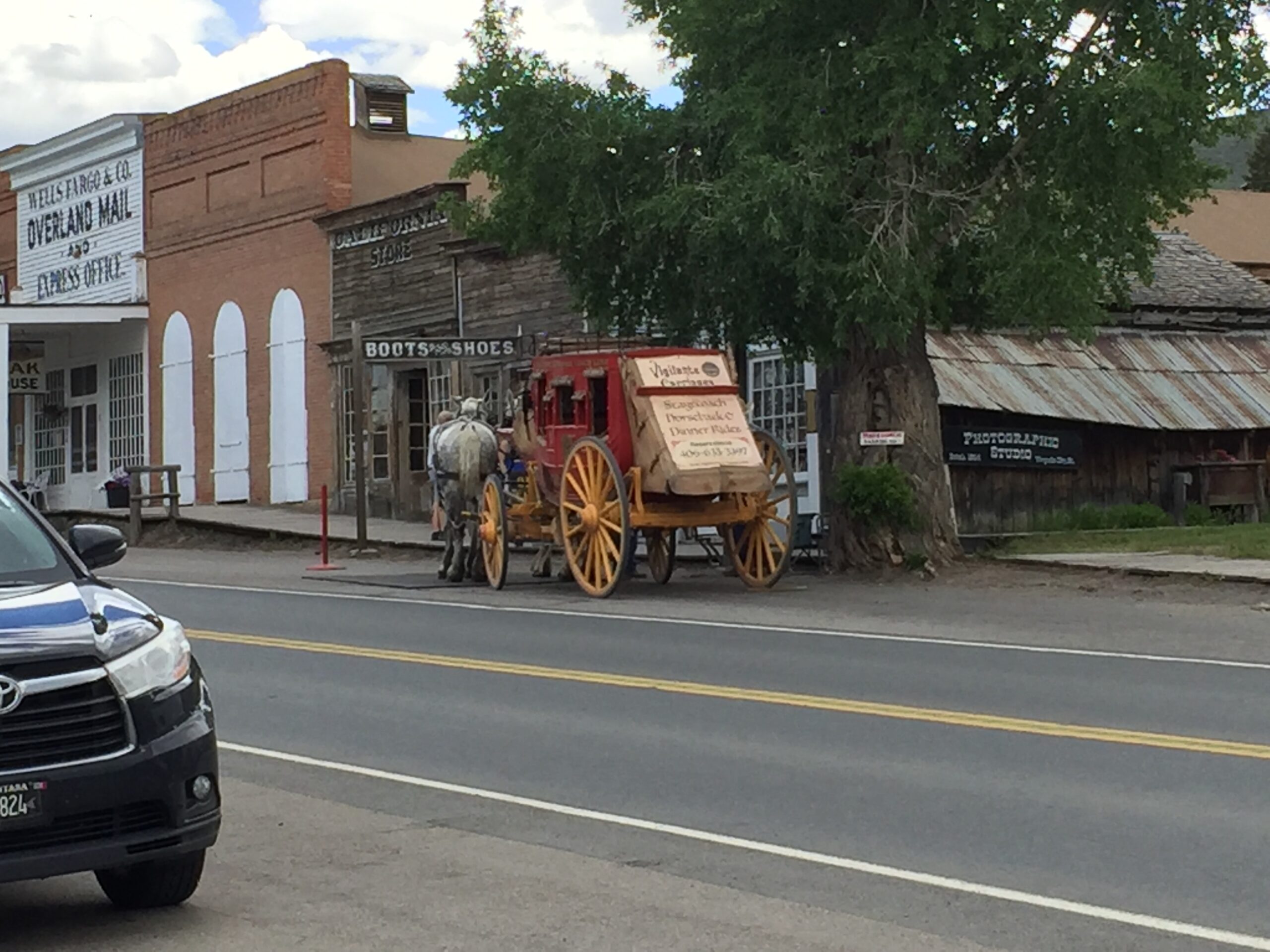
I stopped for lunch in Virginia City, and ended up touring a lot of the restored buildings, with their recreations of businesses of the mid to late 1800s. Most businesses were dog friendly, so the boys had a nice outing (travel days can be very confining for them) and they got to stay with me on the outside dining deck of a local pub while I had a burger and fries (shared with them, of course)
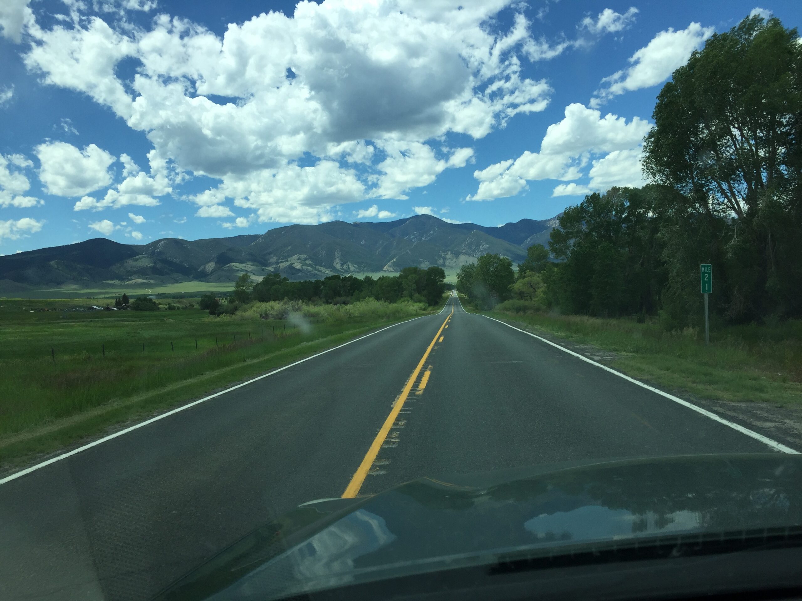
Ran into Russ, chatting with two other bicyclists, just 15 miles from my campground in Dillon. By then, the wind was howling, and it took Russ a long time to make that last 15 miles. He is mighty tired of headwinds. I remind him that he gets tailwinds all the way home, but he is not appeased.
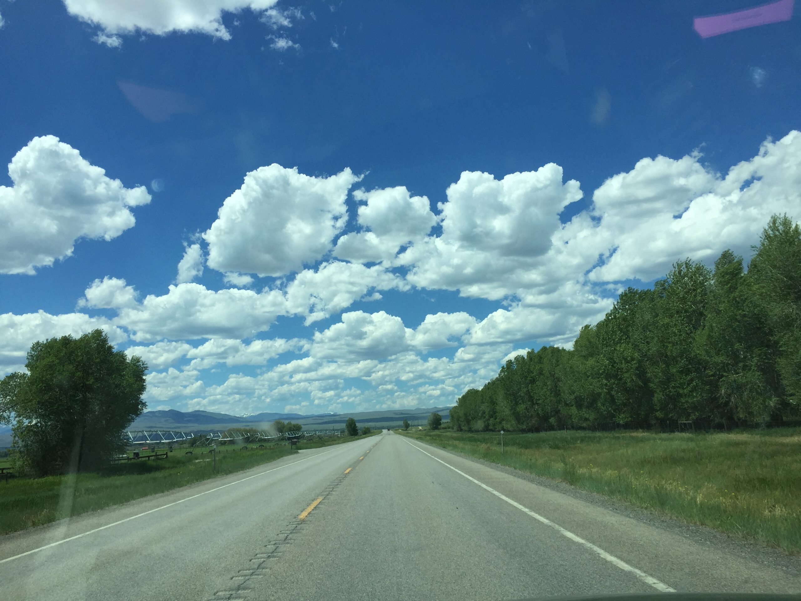
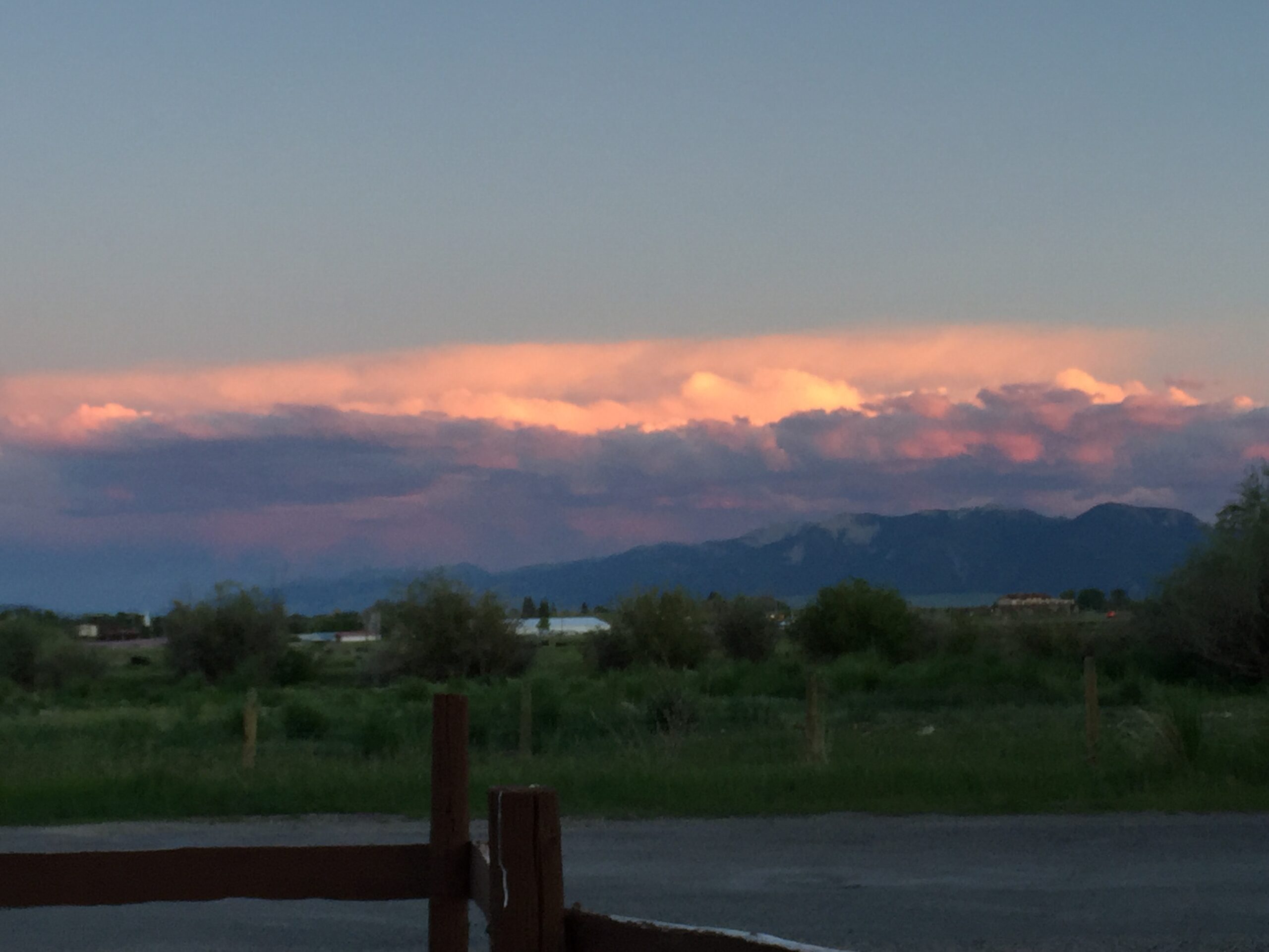
I gotta say, Montana has the best clouds!
So, then Friday…
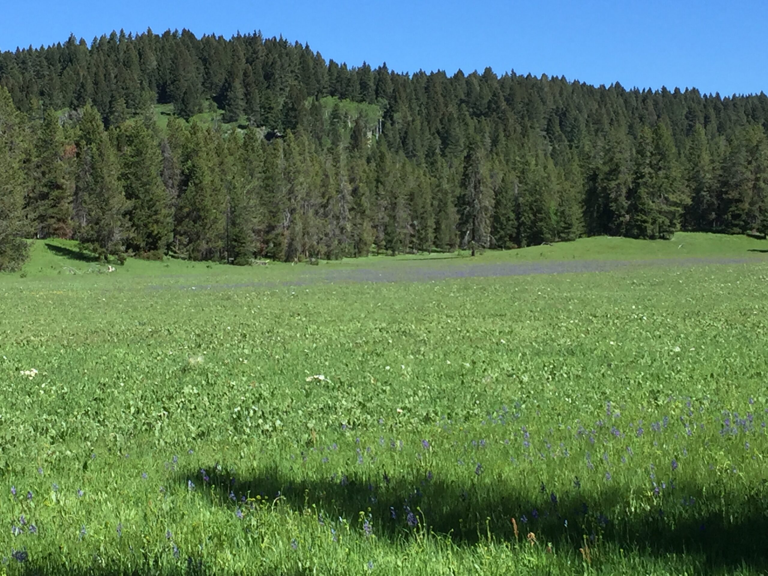
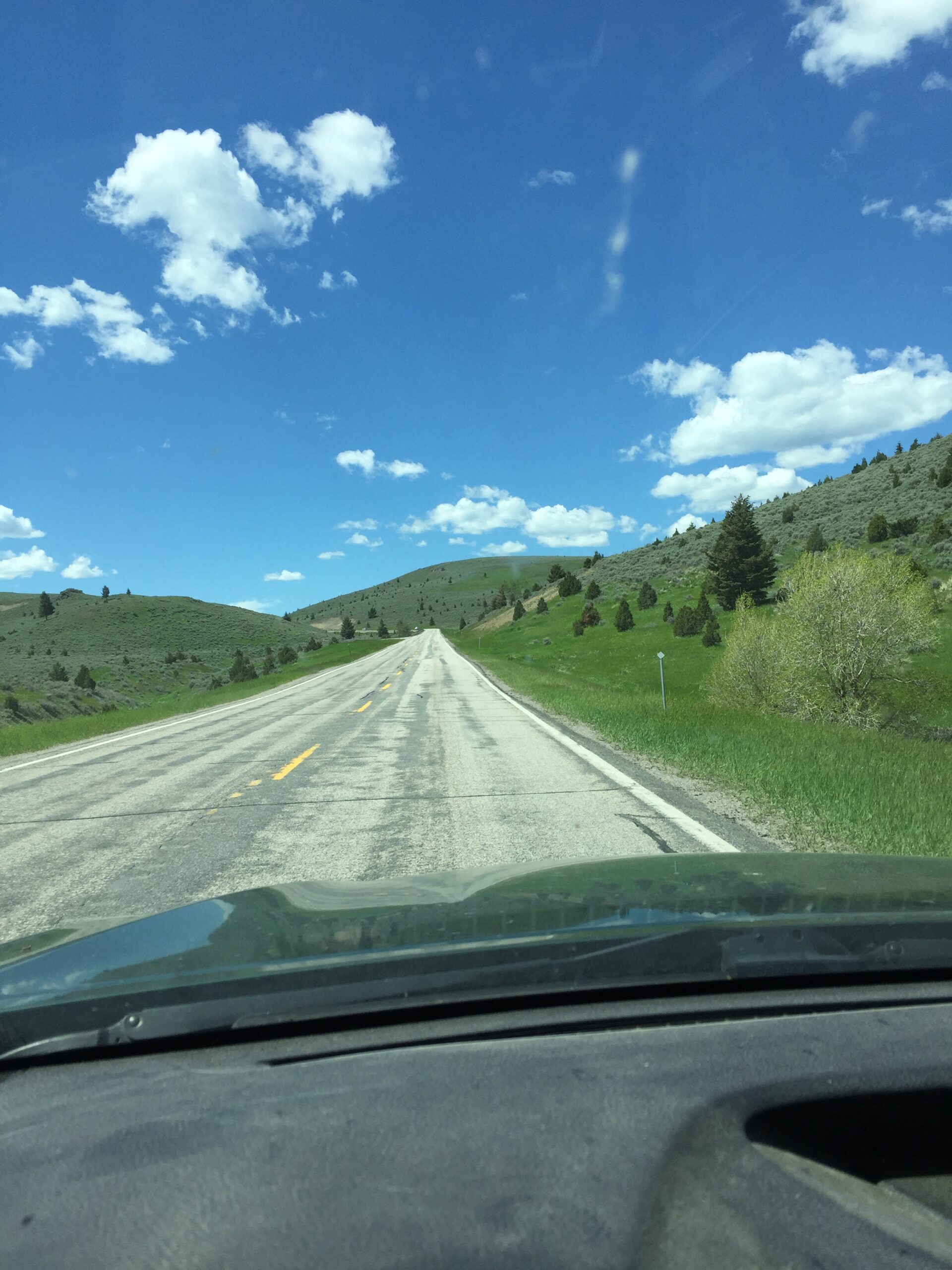
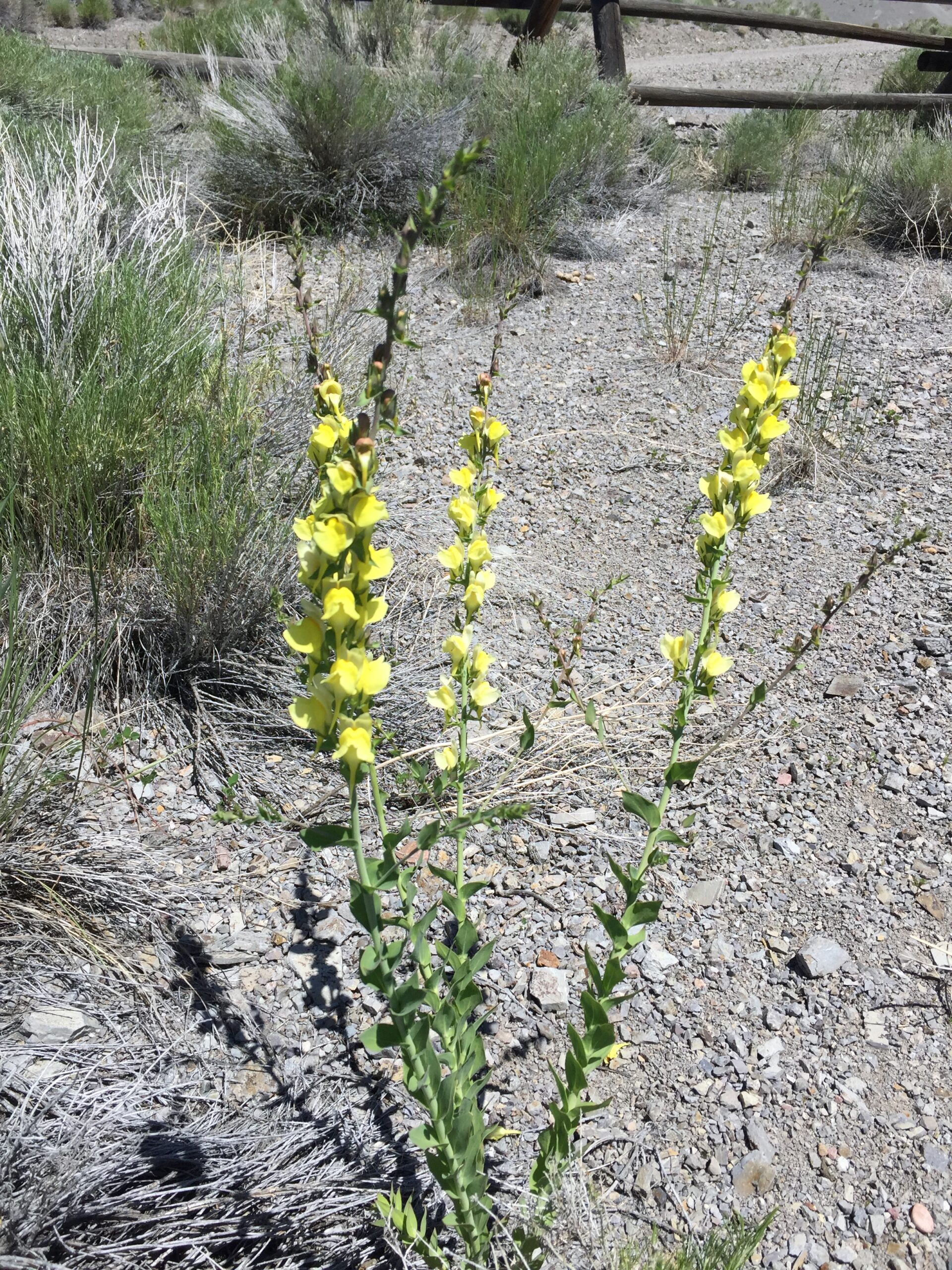
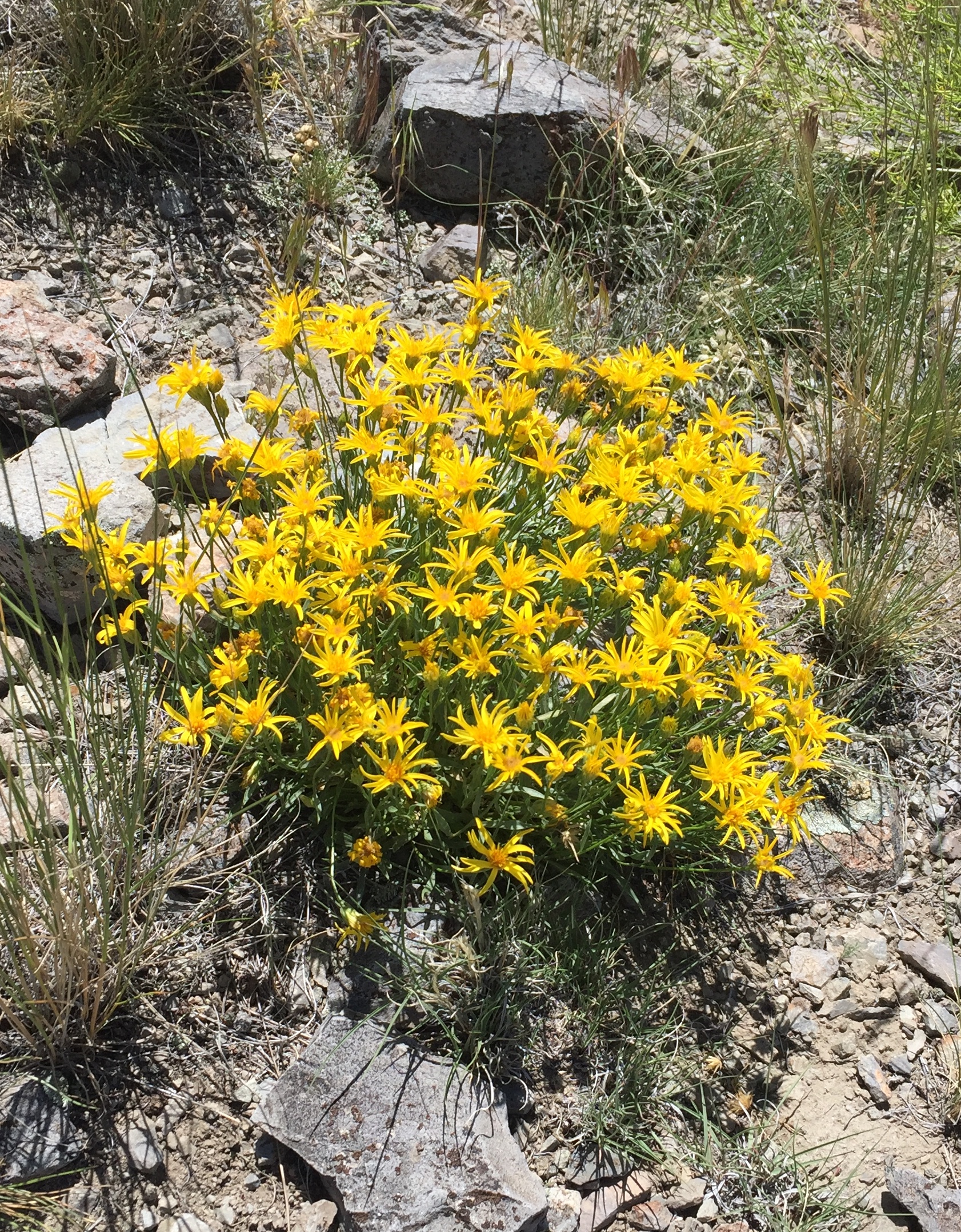
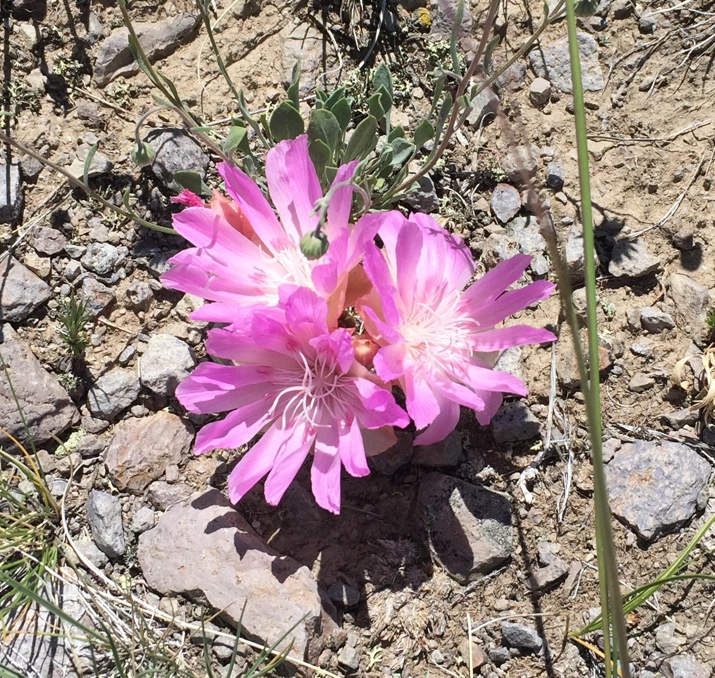
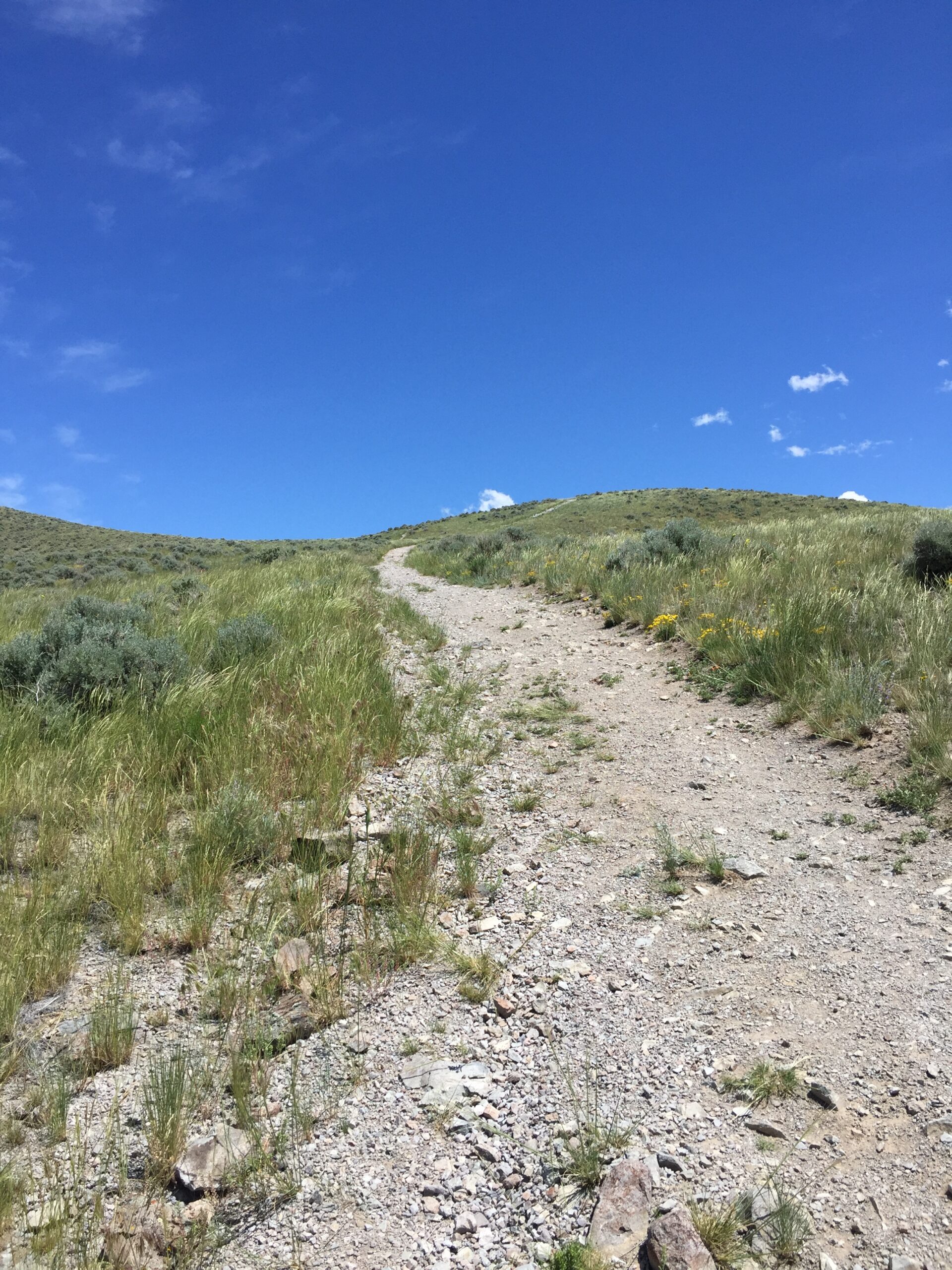
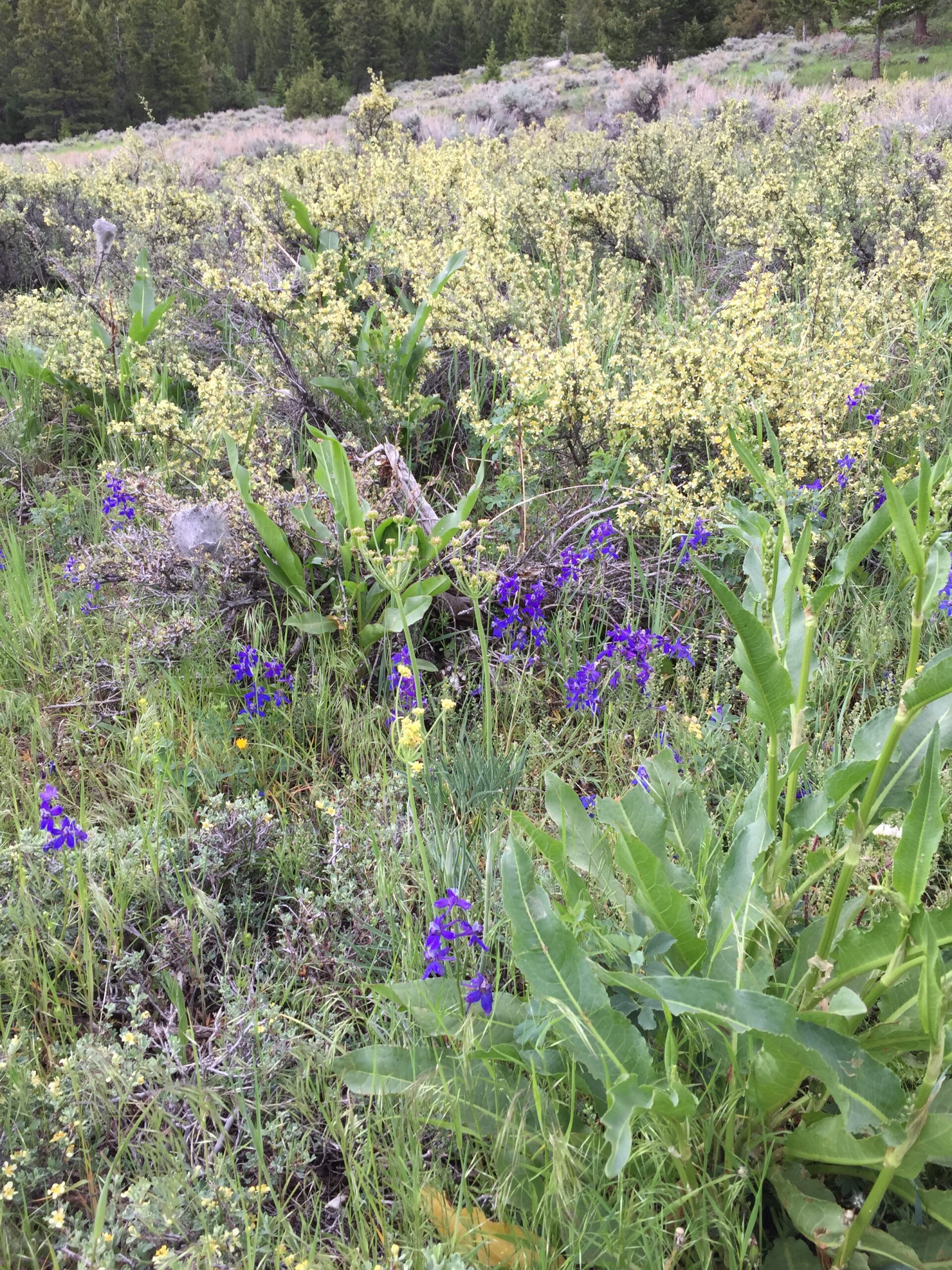
I was so sad and angry over the Supreme Court’s overturning of Roe v. Wade that I’m afraid I was quite unbearable to Russ (he agrees with me, but the issue doesn’t hit him personally). I finally took off with Moe to find the nearest trail, preferably a strenuous one, leaving Scooby to nap and Russ to fret over his own shit. It was a good diversion. I never cease to be amazed at the profusion of wildflowers on these dry hills.
Dalmation Toadflax (I think) Beautiful, but an invasive weedIndian PaintbrushCould this be the elusive pussy toes?Bitterroot—Montana state flowerPoppy Mallow
Sorry I couldn’t identify these all—my eyes are sore from pouring through field guides.
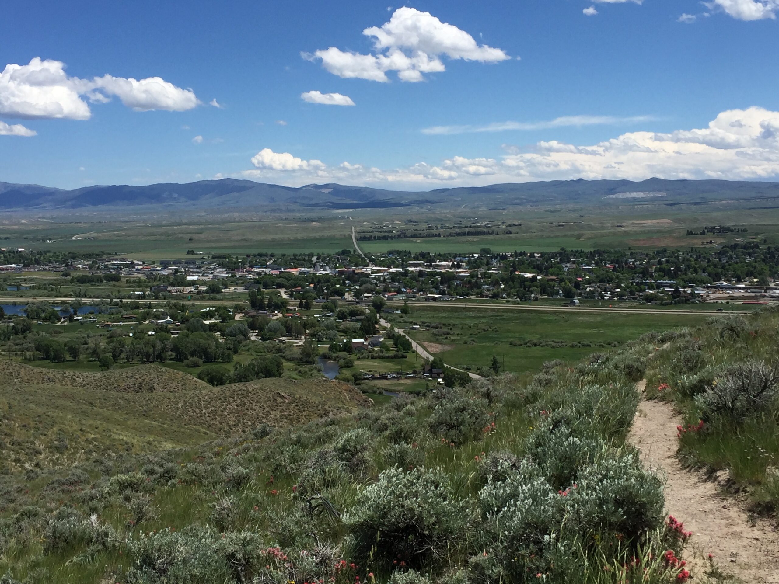
And the views were great. I spent some time sitting at the summit, gazing at the mountains—always good to soothe my soul.
Steep climbLooking down at DillonMontana mountains
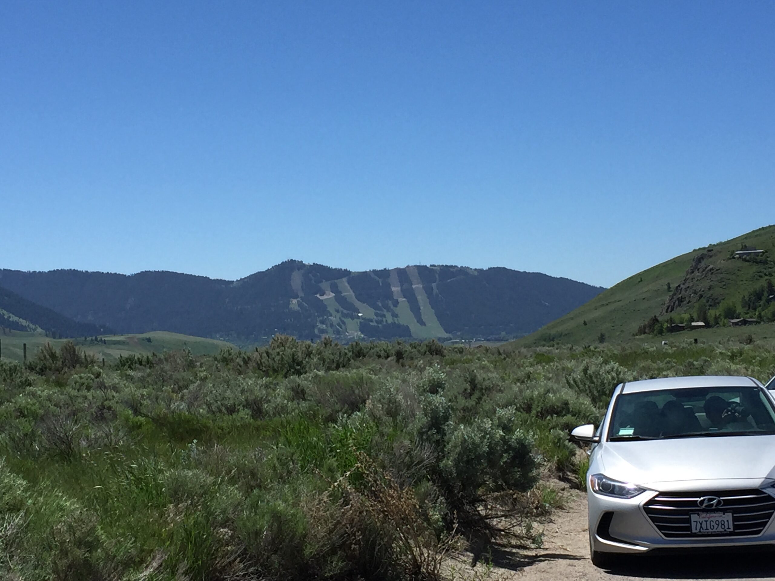
Friday, I headed back to Jackson, WY, west into Idaho, and then north to Henrys Lake State Park, not too far south of West Yellowstone, where we would have exited Yellowstone, had we taken our original route. Russ, taking his sister’s advice, only went as far as Jackson the first day.
And just as well, because immediately west of Jackson, you climb Teton Pass: very steep on the eastern side, with abrupt switchbacks descending the western slope. Once again, the Subaru made it, though there were a few tense moments, with the road climbing over 10% grade in spots. Then it was into the broad valleys between the mountain ranges of eastern Idaho.
Ski trails in Jackson, WYOver Teton PassDown into IdahoOld grain towerLook! A buffalo!
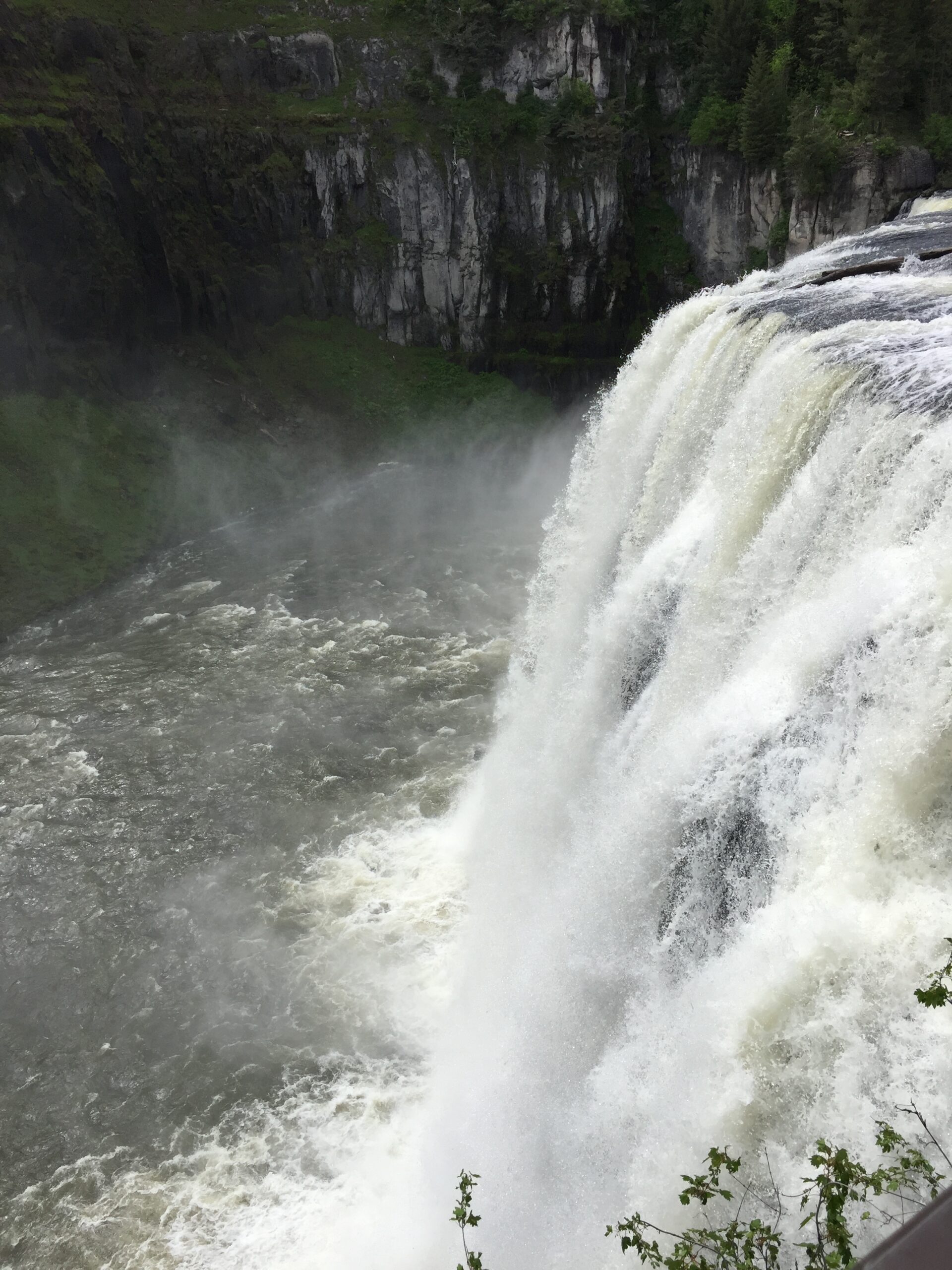
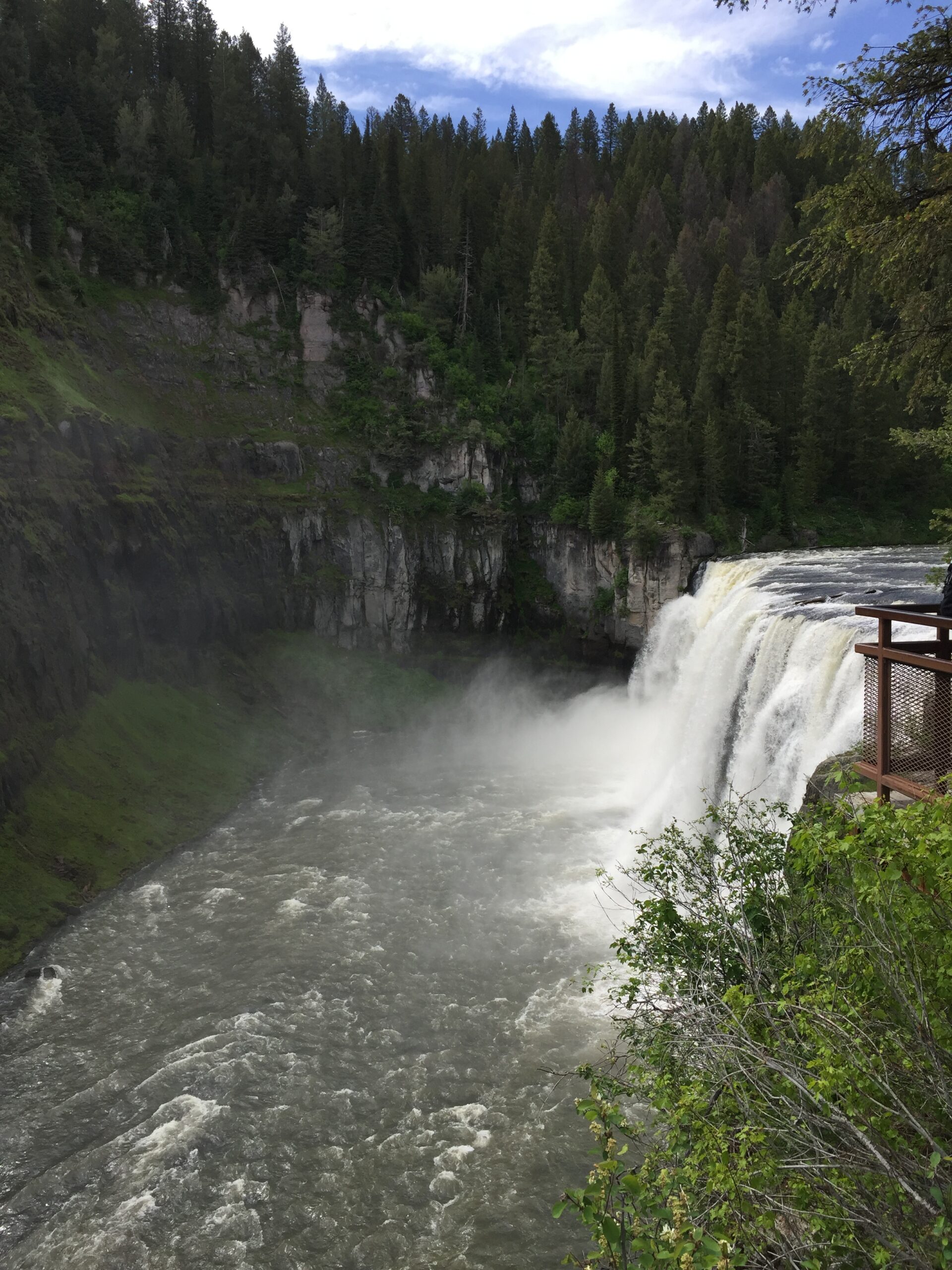
On the way, I turned off the main road to see Upper Mesa Falls. The scenic side road winds through a thickly forested area with multiple campgrounds. A short, steep gravel road led me down to the impressive falls, and a welcome chance for the dogs to stretch their legs.
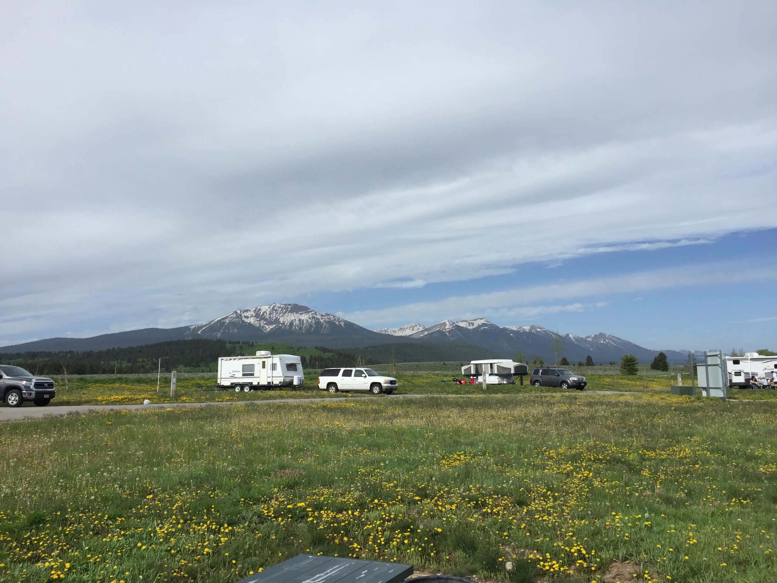
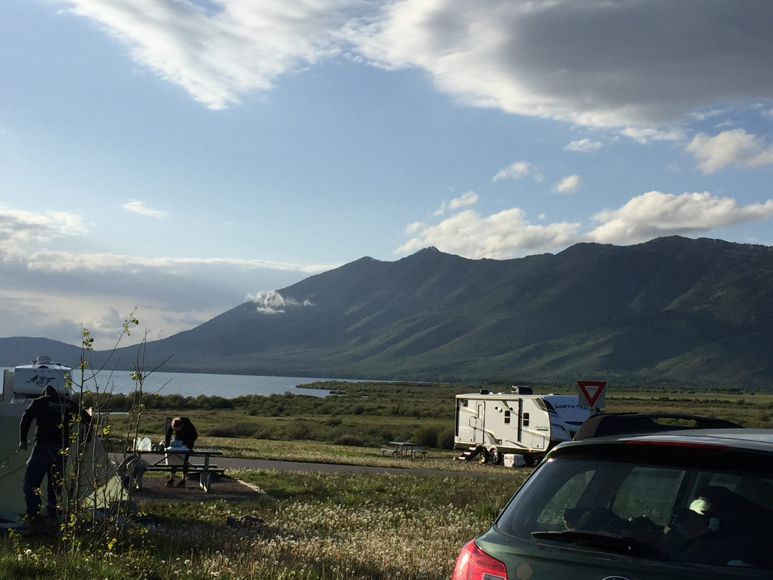
On the main roads, the wind really hits you, now from the side rather than head-on. Every passing big rig felt like it would blow the camper right over. Fortunately, Henrys Lake was not too far from Mesa Falls, and it is well worth the drive. It sits in a bowl, completely surrounded by mountains. The mountain passes do funnel the winds across the lake, however, so boaters need to watch out, especially in the afternoons, for high winds.
Hiking outside of campMountains around the campLake and mountainsStorm cloudsDistant rainMy neighbor’s dog has his own ‘pup tent’
It was obvious from Russ’s slower pace that two nights would not be enough time for him to catch up to me, so I extended my stay for another three days, and he did get here Monday afternoon. In the meantime, I did quite a bit of birdwatching on the small ponds immediately below the campground, and I got to do some kayaking Sunday morning (you can reserve a kayak for free!). Finally, I had an excuse for carrying my paddle and life vest (but not my kayak) across the country.
Sunday afternoon turned cooler and blustery, with passing showers. By Monday morning, the temperature had dropped into the thirties, and although the sun comes and goes, it hasn’t gotten above 42, with a wind chill of 37, all day. Tomorrow is not supposed to be much better.
Not that it matters much, because Moe is now sick with the same cough that Scooby has (I guess it is kennel cough), and Scooby doesn’t seem better after 4 days of antibiotics. Walking them has turned into a gauntlet of a) concern or b) stink eye from my fellow campers. At least twice, I’ve called out ”I took them to a vet!” in response to judgemental looks. I was feeling overwhelmed early this morning, listening to hacking and gagging in stereo from the dogs. Thank goodness my sister was home when I called in tears. She calmed me down, and we even managed to joke about it before I got back to finding a vet. Tuesday will be another long drive to another vet, this time in St. Anthony, ID. I’m just grateful to find someone who will see them right away.
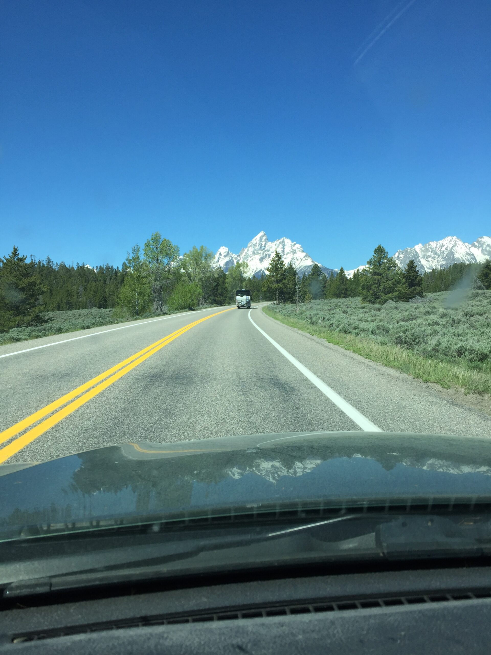
More impressive scenery heading toward the Grand Teton range. Love those painted hills!
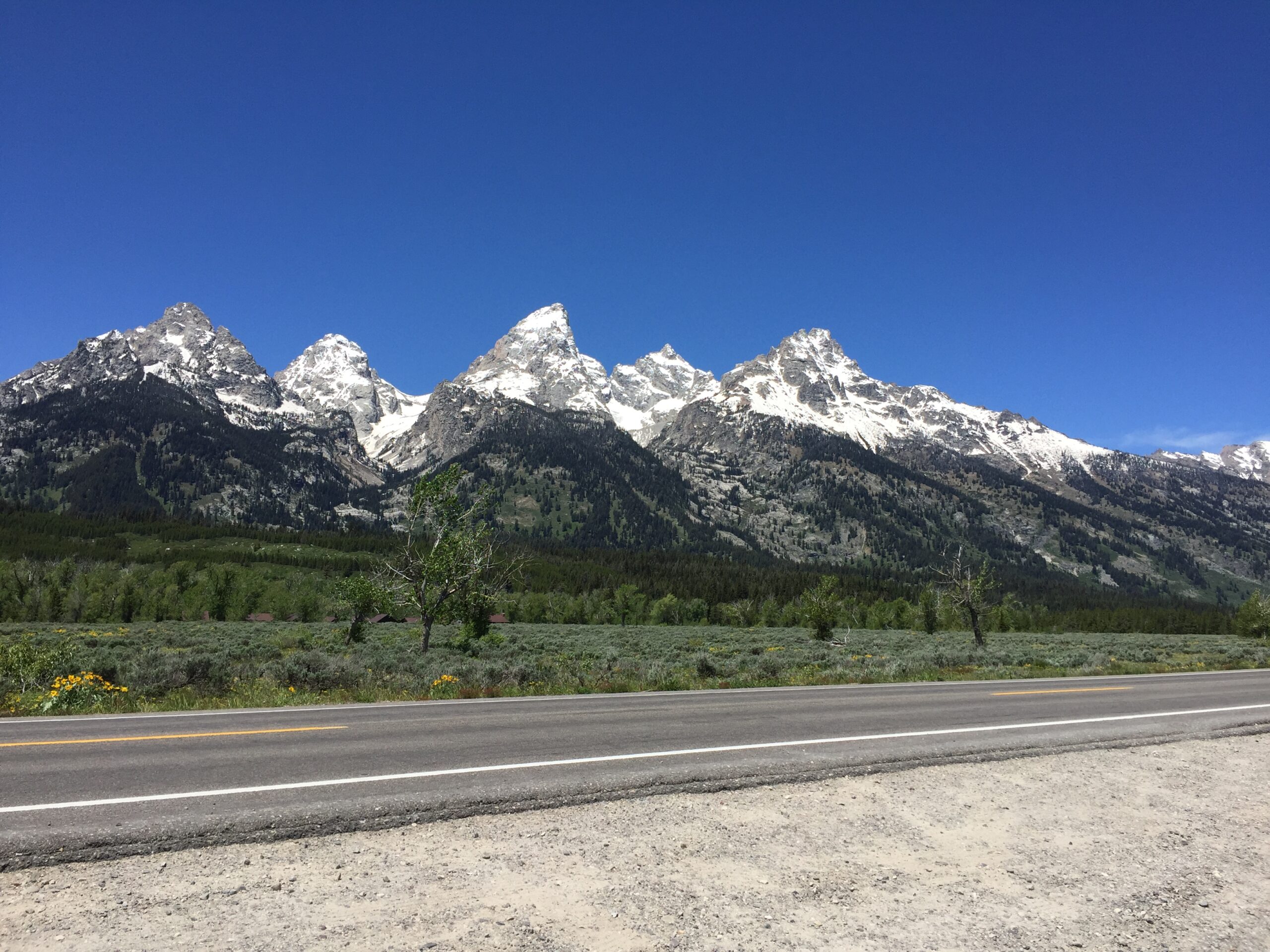
That’s the Tetons! Nope.
THAT’S the Tetons!
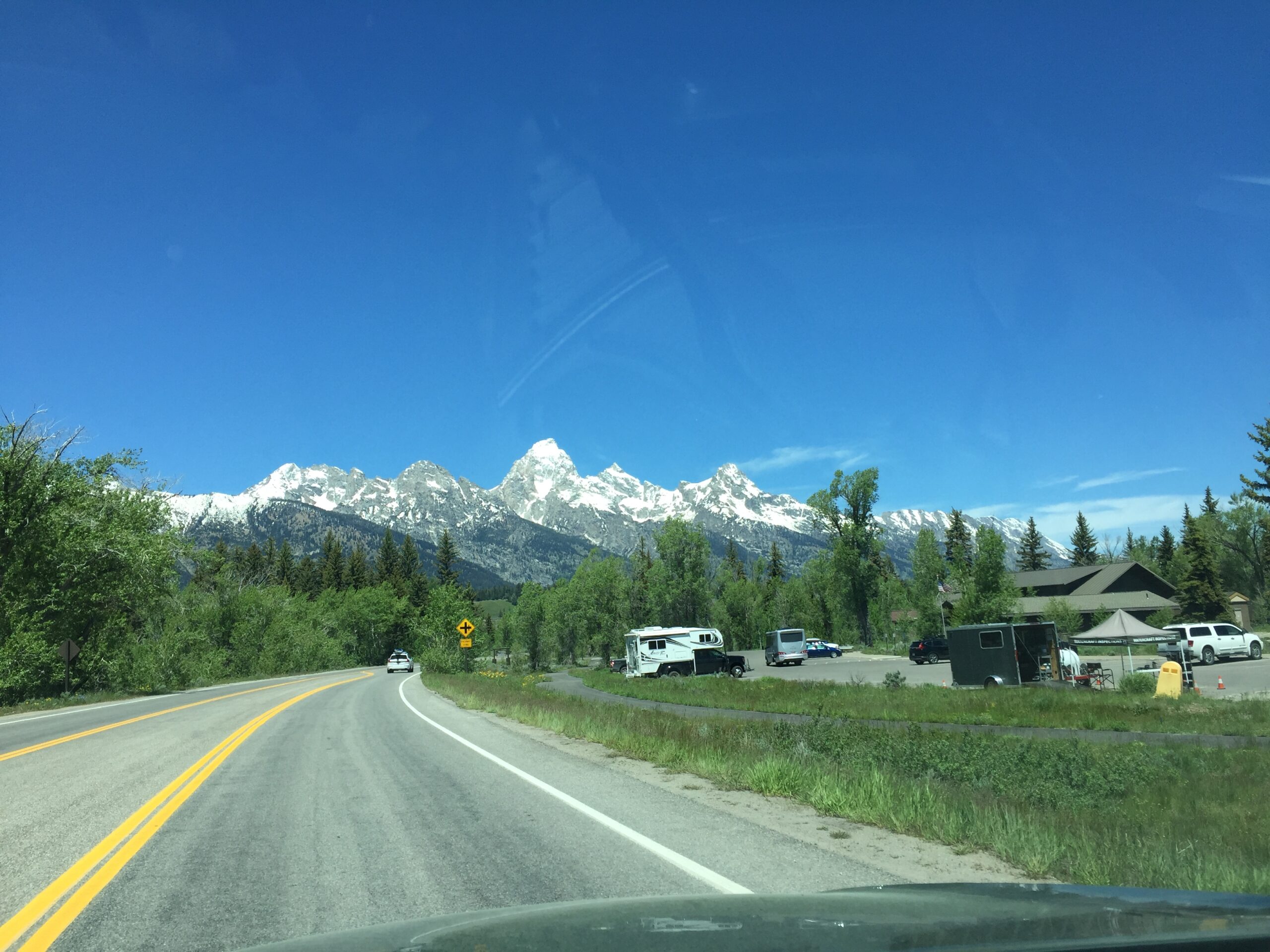
You know Annie Lamont’s book Help, Thanks, Wow? About the basic forms of prayer? Well, Grand Teton National Park was one long prayer of “Wow!” (And “Thanks!”).
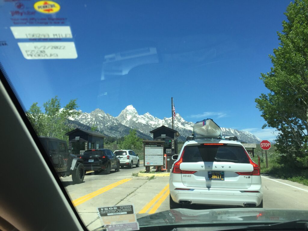
Even the entrance was spectacular! (sorry about the dashboard pic)
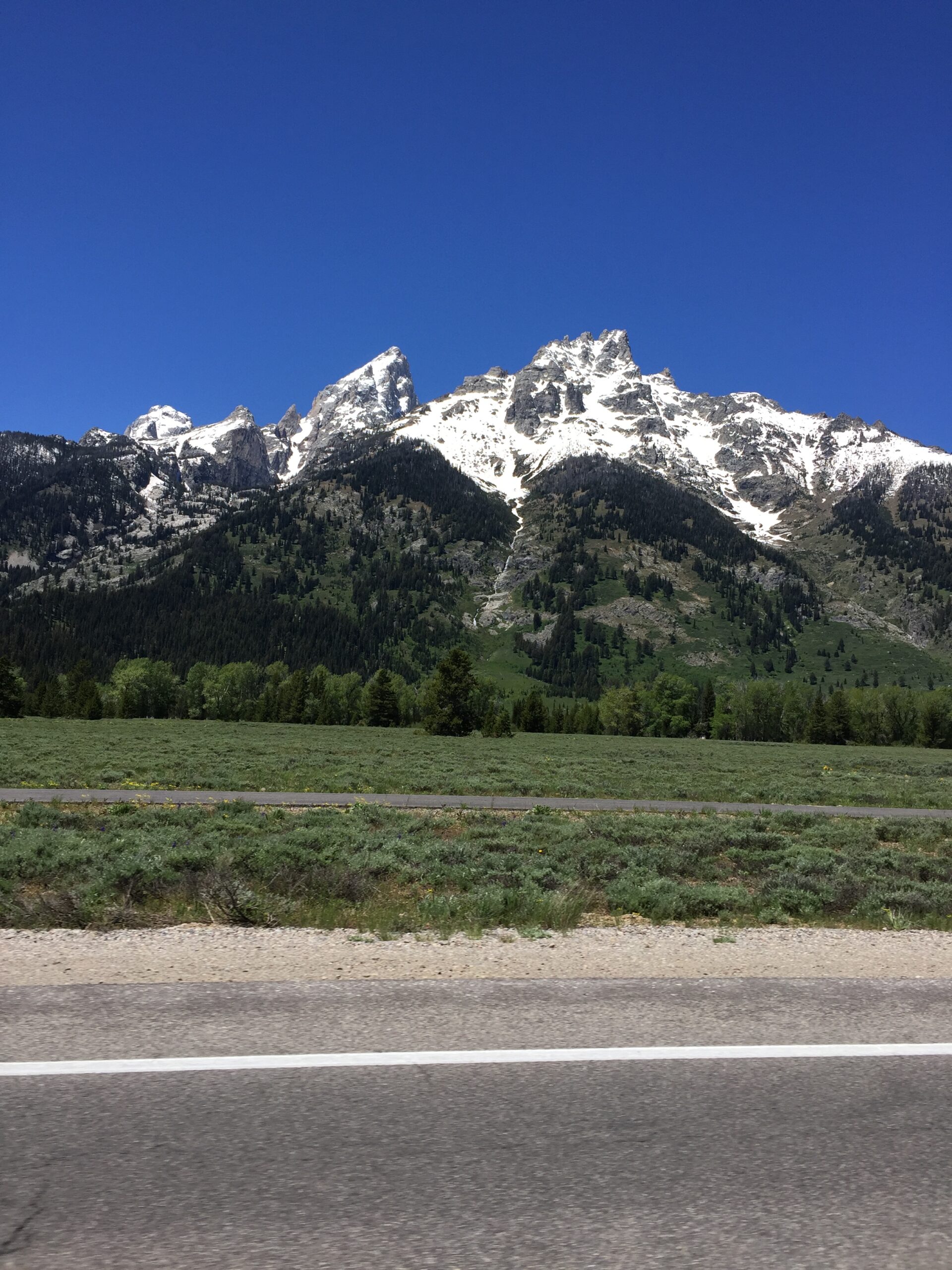
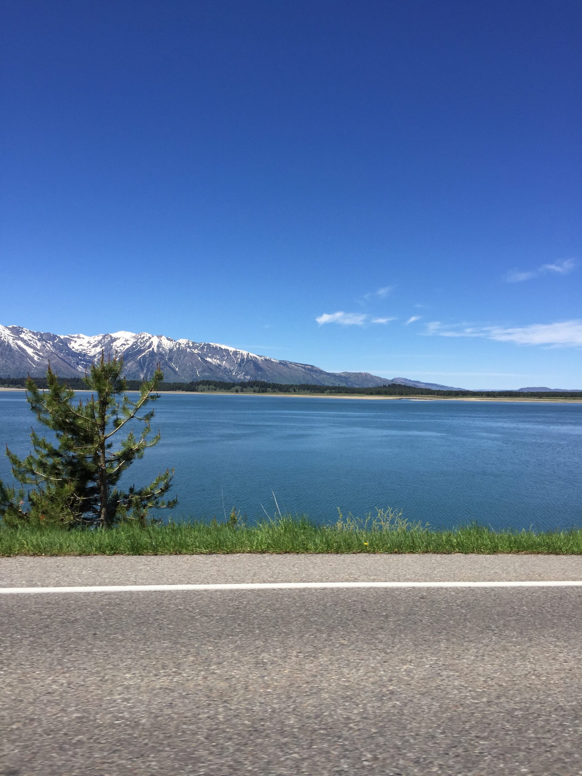
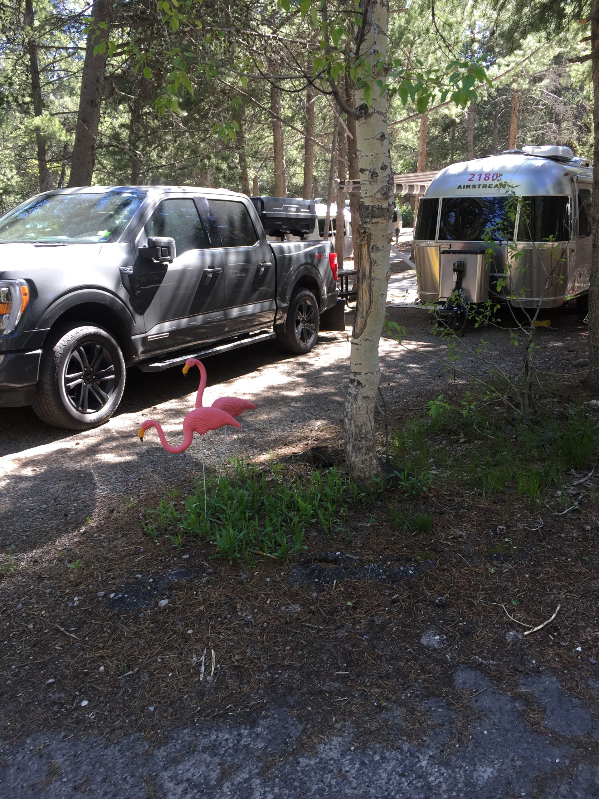
I must have a thousand pictures of these mountains. After awhile, you think “Enough with the mountains, already!” But they make me catch my breath every time I see them, the way they rise straight up from the flat land. And the RV park in Colter Bay was just so nice—it felt like Mount Gretna, under the pine trees. It even had pink flamingos! (My family and friends who have seen Mount Gretna will get this.)
More than anything else, the fact that Russ agreed to ride IN A CAR from Saratoga to Grand Teton National Park told me how sick he was. Even at Grand Teton Park, he had no energy. He finally talked to his sister Debby, a nurse practitioner, about his nagging covid symptoms. She is perhaps the only person he will listen to about medical advice (can’t blame him there—I immediately call my brother ‘Doctor Jeff’ with any medical concerns). She advised him to take it easy until his energy came back. He will take shorter days (30-40 miles), resting whenever necessary, especially when climbing.
Unfortunately, on the way here, Scooby developed a frequent, racking cough, so one of my two days at Colter Bay was mostly spent driving to Jackson to have him seen by a veterinarian. He diagnosed kennel cough, even though Scooby had this cough before we left (very infrequently), and Moe shows no symptoms. I lucked out—their receptionist was a recent transplant from Mass., and she immediately took me under her wing (“Gotta take care of my home girl.”) She made sure I got an appointment that day, and made sure I had my $20 off coupon when I got there. It wasn’t until I left, with antibiotics and cough suppressants, that I realized I had paid nothing for the vet visit—only the medicines. Looking out for your home girl, indeed!
I did get time for a hike on one of the many trails around Colter Bay that afternoon. Dogs are not allowed, due to bear activity, so I went without my trail buddies. Got my first look at a Western Tanager (those impossibly gaudy birds), and saw pink-sided juncos, the Rocky Mountain version of our slate-colored juncos. While I was sitting, watching a beaver swim lazily about in a small lake, a fellow bird watcher told me to look out for a sandhill crane on the other side of the lake. As I came around a tall beaver lodge, there it was; I hadn’t seen it before I nearly walked into it. I tried to drop quickly out of sight, but it flew away, leaving me with just one startled glimpse of that iconic bird.
Leaving Walden, I felt like I was getting Russ’s cold. Great, I thought. By the time I arrived at Saratoga Lake on Friday, I was well and truly sick: headache, congestion, sore throat, the whole package. When Russ arrived the next day, I sent him into town to get groceries: I was in no condition to get up, much less drive. He stayed overnight and took off the next morning for Rawlins, WY.
That’s as close as igot to the lakeStayed in the camper except to stagger outside with the dogsAt least there was a nice sunset!
Two days later, I felt a bit better, and left for an RV park 8 miles southeast of Lander, WY. Russ planned to stop but not to stay, as he would need to go all the way in to Lander in order to make the very long stretch to Dubois the next day.
So much for well laid plans. That day, I lost my sense of smell—one of the symptoms of Covid. I’d brought a home test kit with me—it came out positive.
Notify Russ, notify the camp host (the only person I’d been in close contact with in the last few days), call my brother Jeff, the doctor. Russ changed HIS travel plans, I got banned from using the showers or laundry at the RV park, and my brother told me not to panic unless I started getting short of breath.
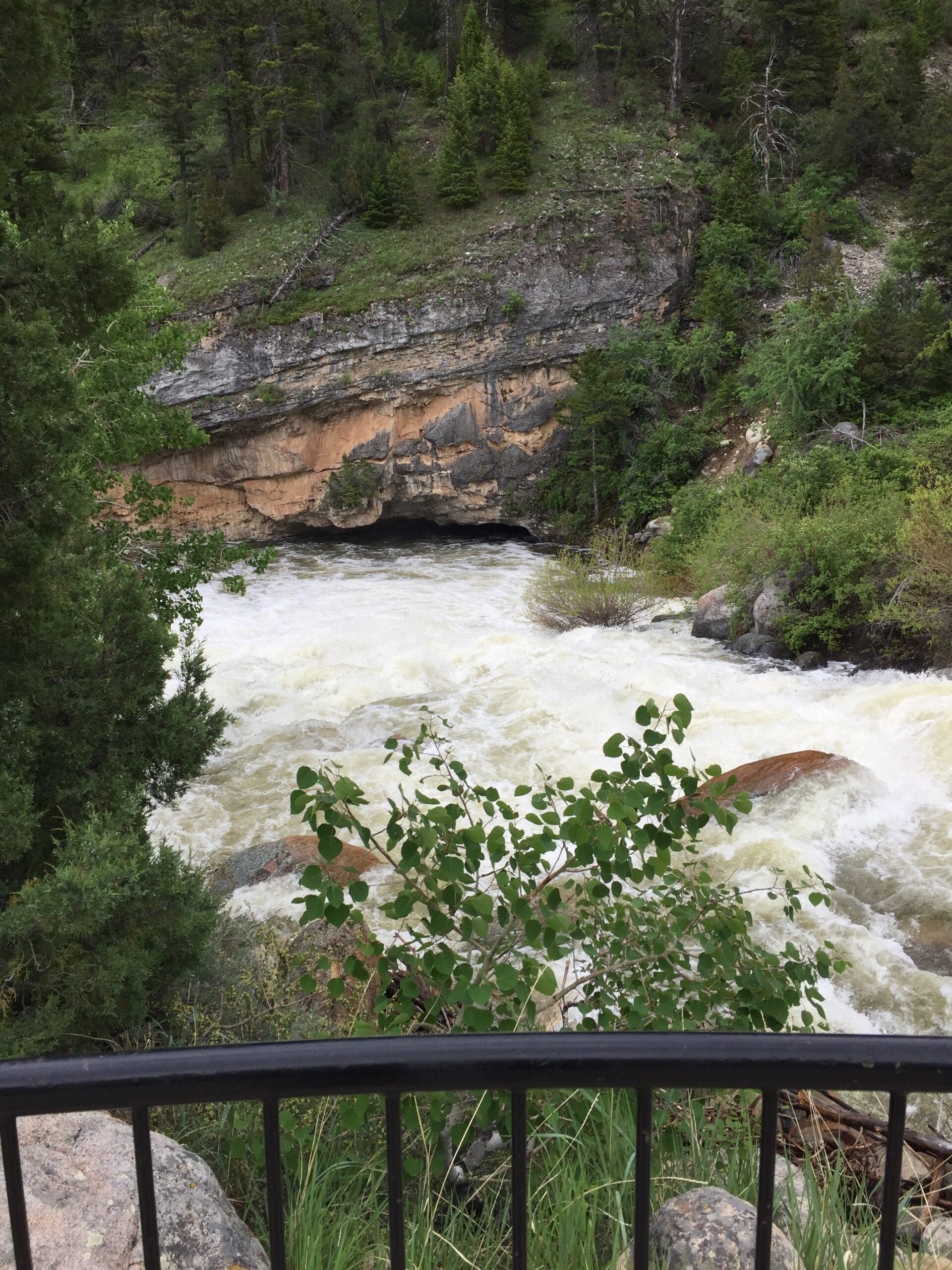
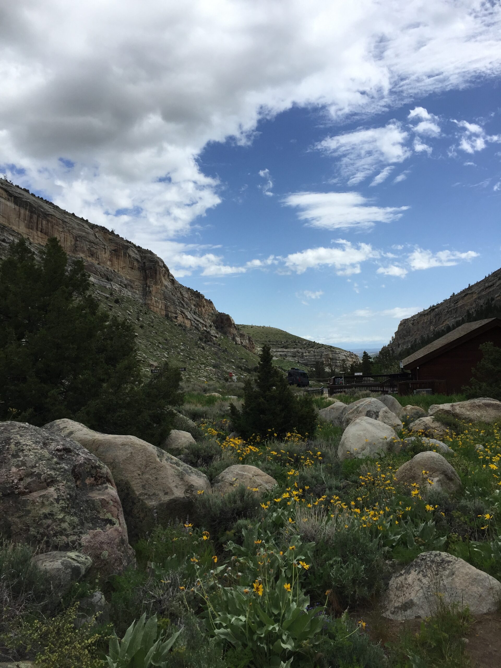
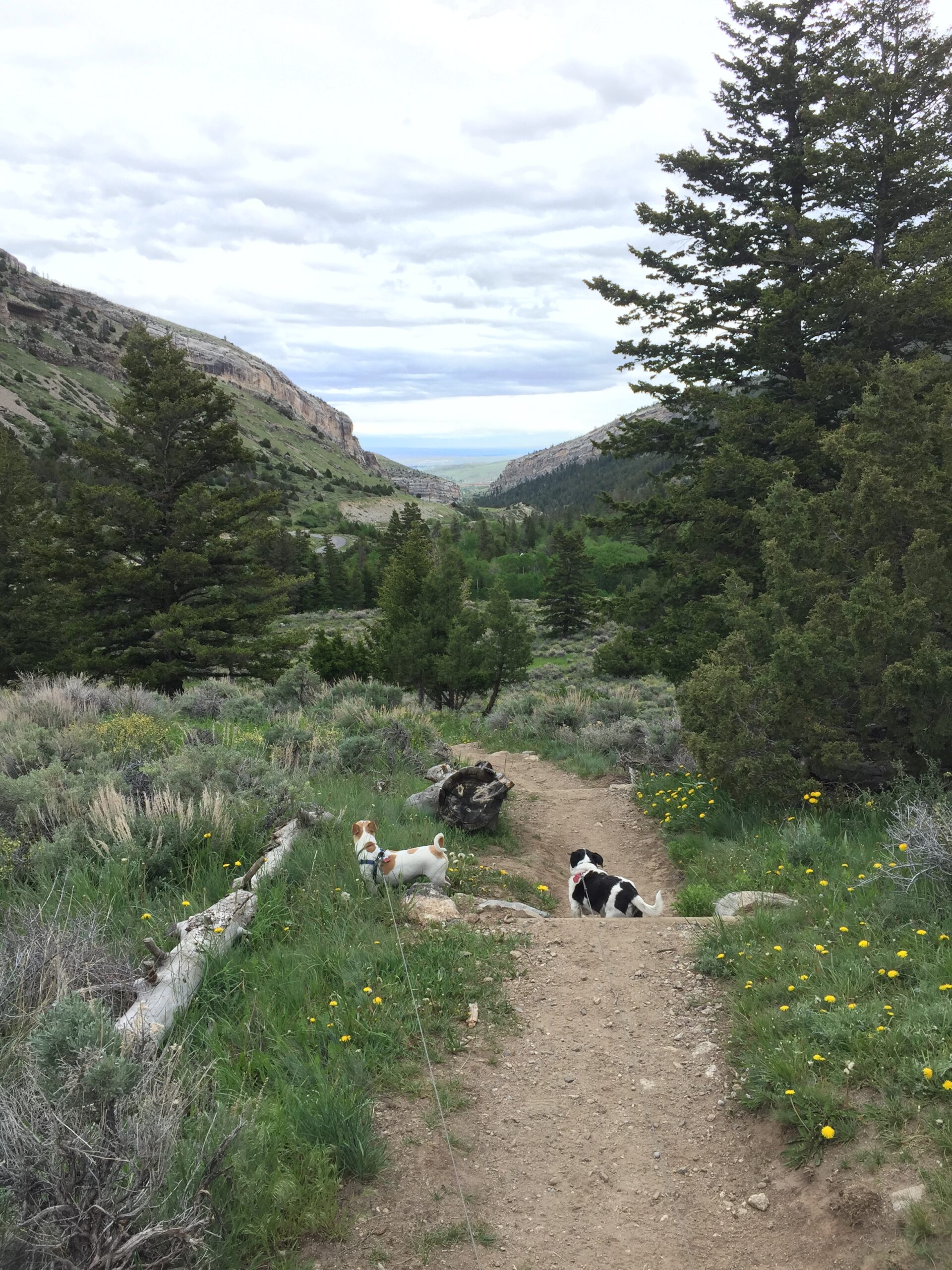
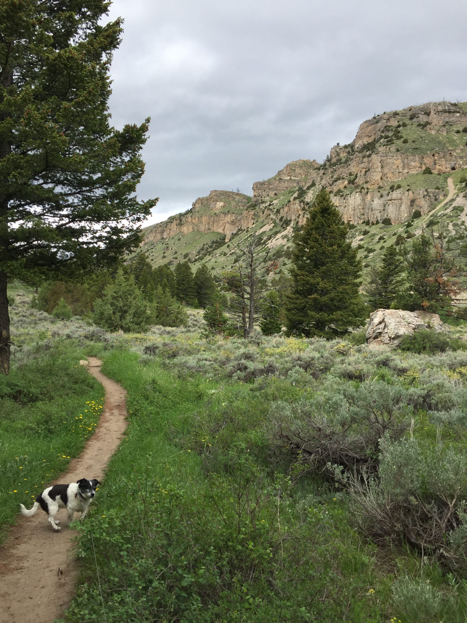
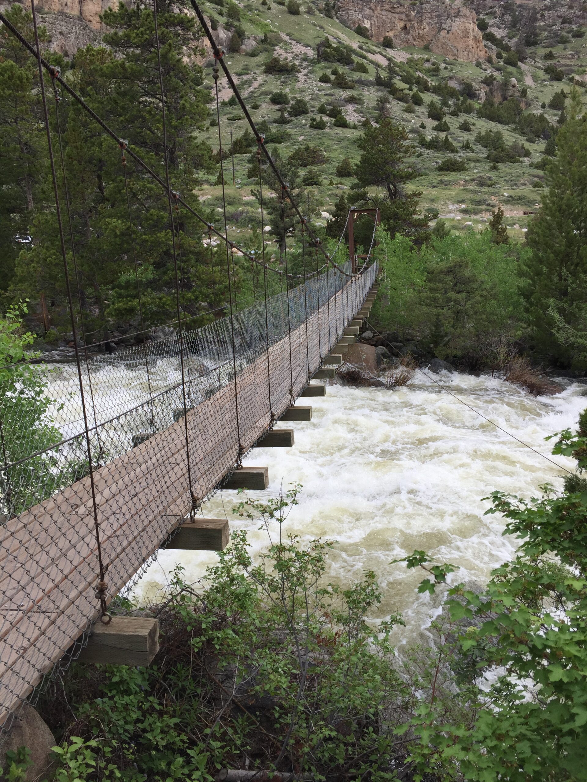
Too bored to sit in my camper, I drove to nearby Sinks Canyon State Park, viewed the Popo-Agie River sink, and walked (slowly) around the nature trail. A beautiful area.
Popo-Agie River Sink400+ million years of geologic history on that wallWobbly suspension bridge
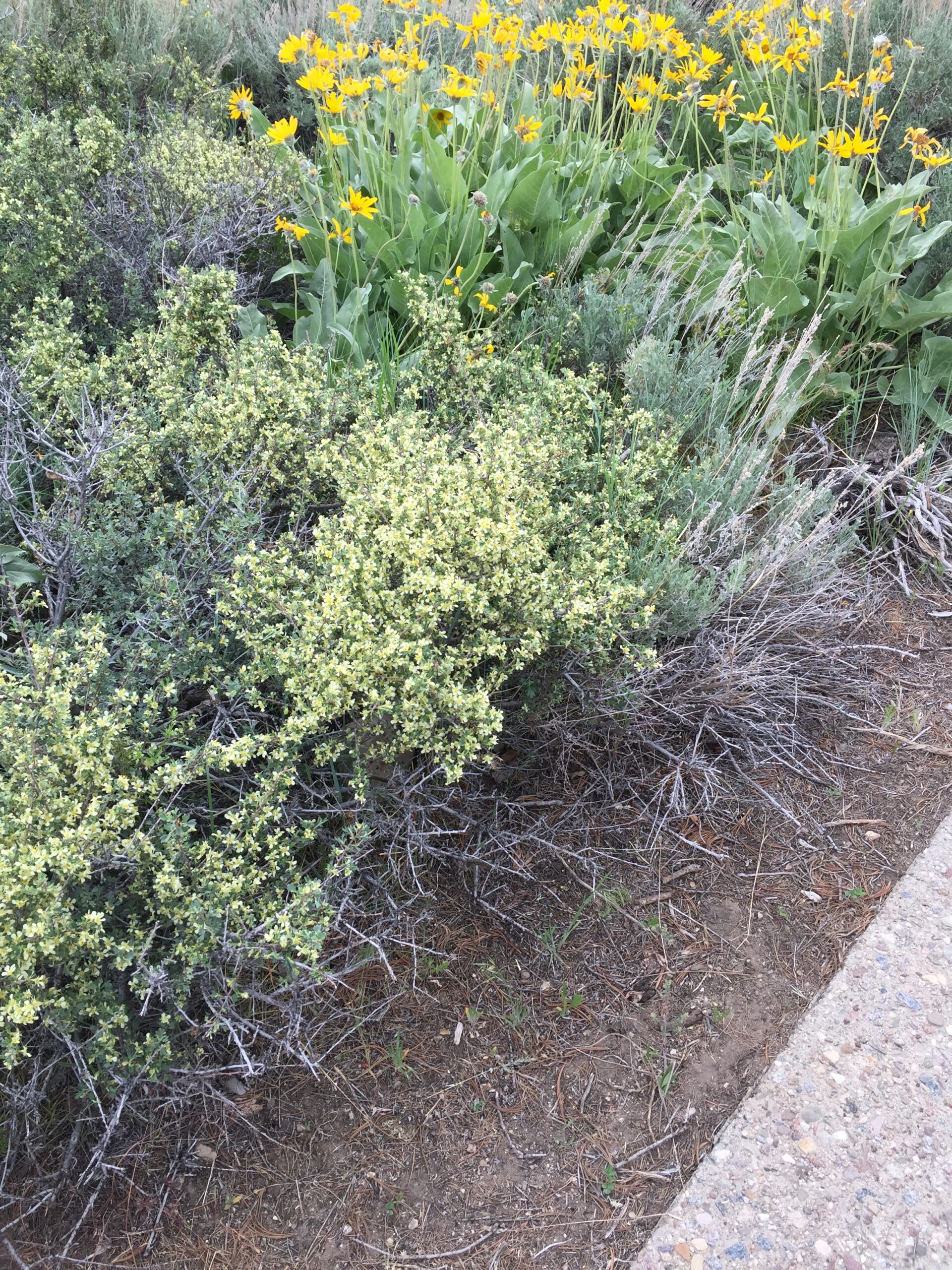
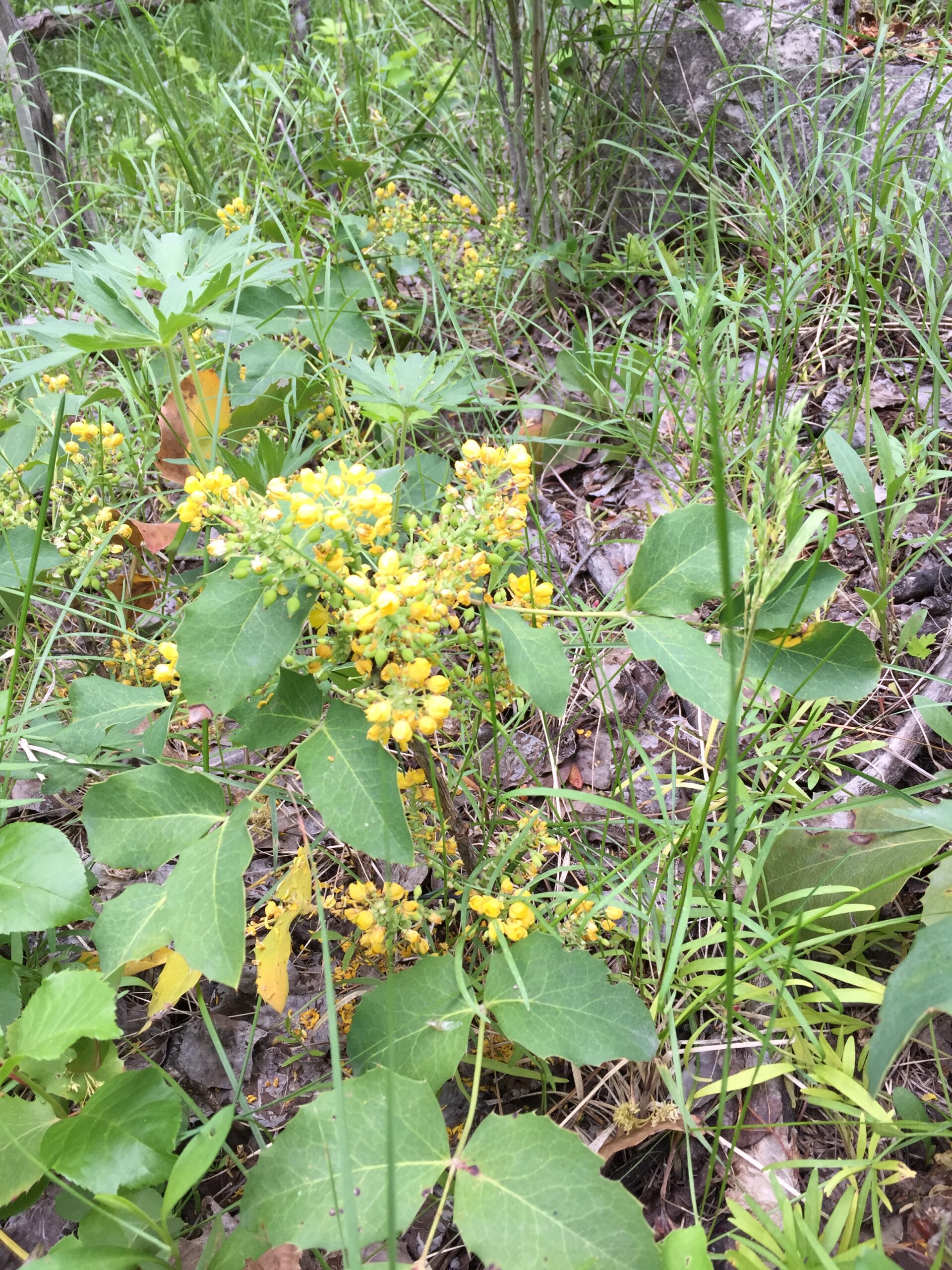
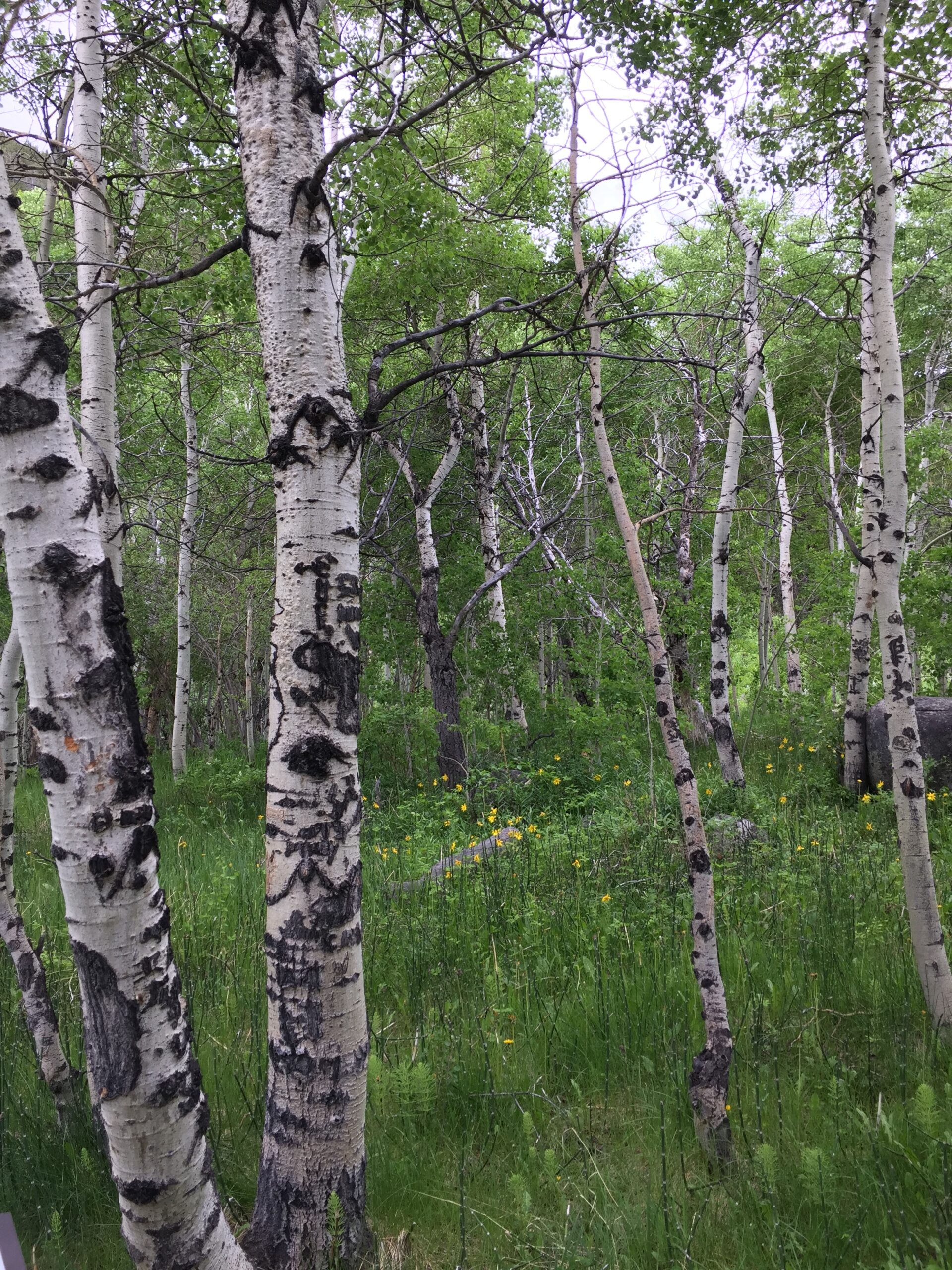
Antelope Bitterbrush—important graze for antelope, deer, and sheep. Deep blue larkspurOregon Grape—produces berries eaten by bear and mooseSuch pretty lichen!A beautiful tapestry of purple, yellow, white and green. Aspen grove
Russ had just arrived when I returned, and we sat down to calculate our next steps.
AND THEN THEY CLOSED YELLOWSTONE PARK. We would have reached Yellowstone this coming weekend, but now no one is allowed in, due to flood damage caused by heavy rains. More rain is expected, so there is no telling when the park will reopen.
(On a brighter note, I can stop trying to find a campsite in Yellowstone over the weekend: a near impossible task.)
Before Russ could panic about the change, I called Adventure Cycling and got their alternate route, texted our tech-savvy friend CK, and asked him to send the new routes to Russ’s RideWithGps program. We will head south to Jackson, then west and north into Idaho to rejoin the route in the town of West Yellowstone. (Note to self: probably best not to try to find accommodations in West Yellowstone, since they’re evacuating everyone out of Yellowstone.)
I do have reservations Weds and Thurs in the town of Colter Bay, in Grand Teton National Park. As of today (Tuesday, June 14) they are still OK. Keep your fingers crossed.