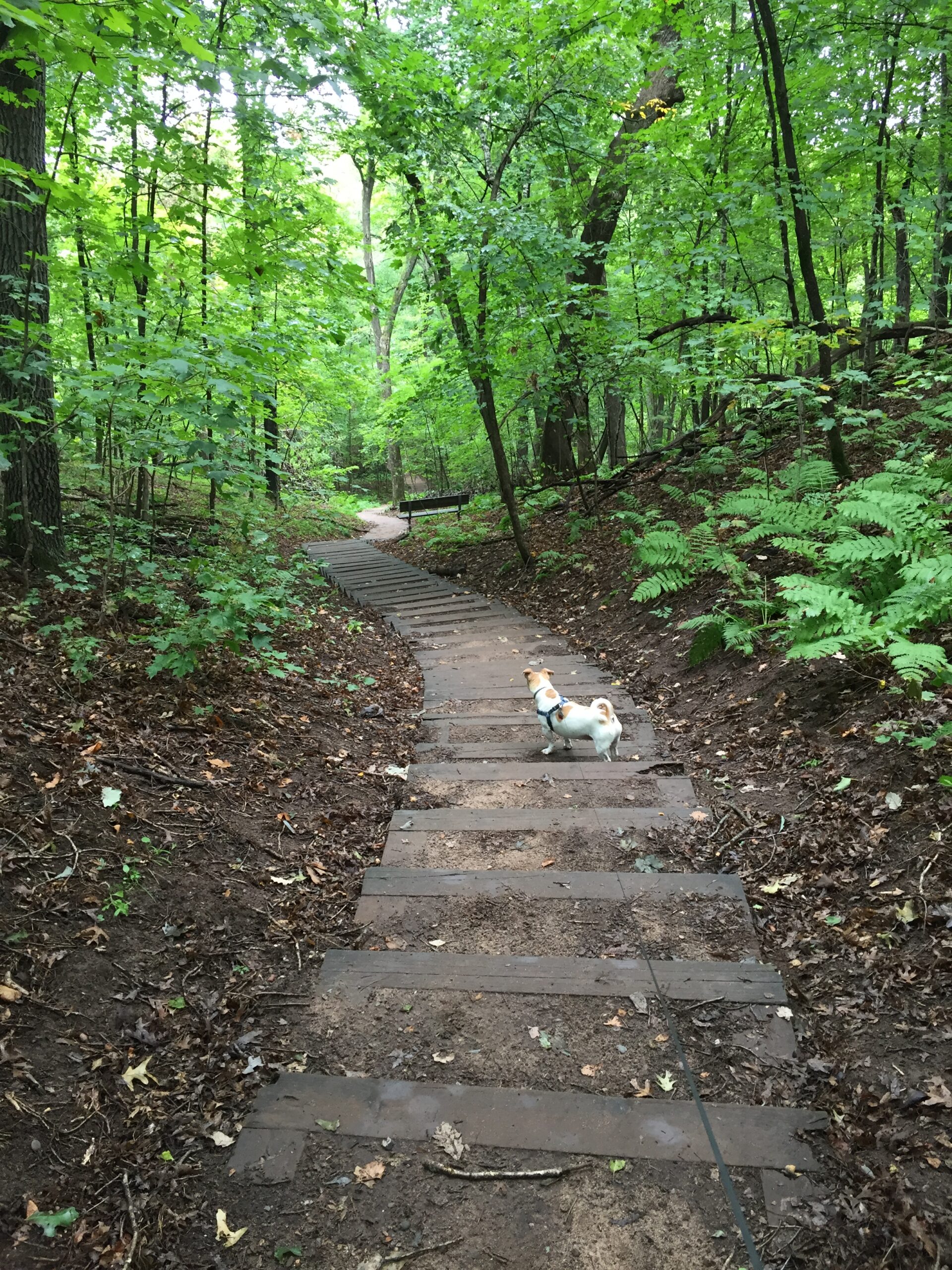
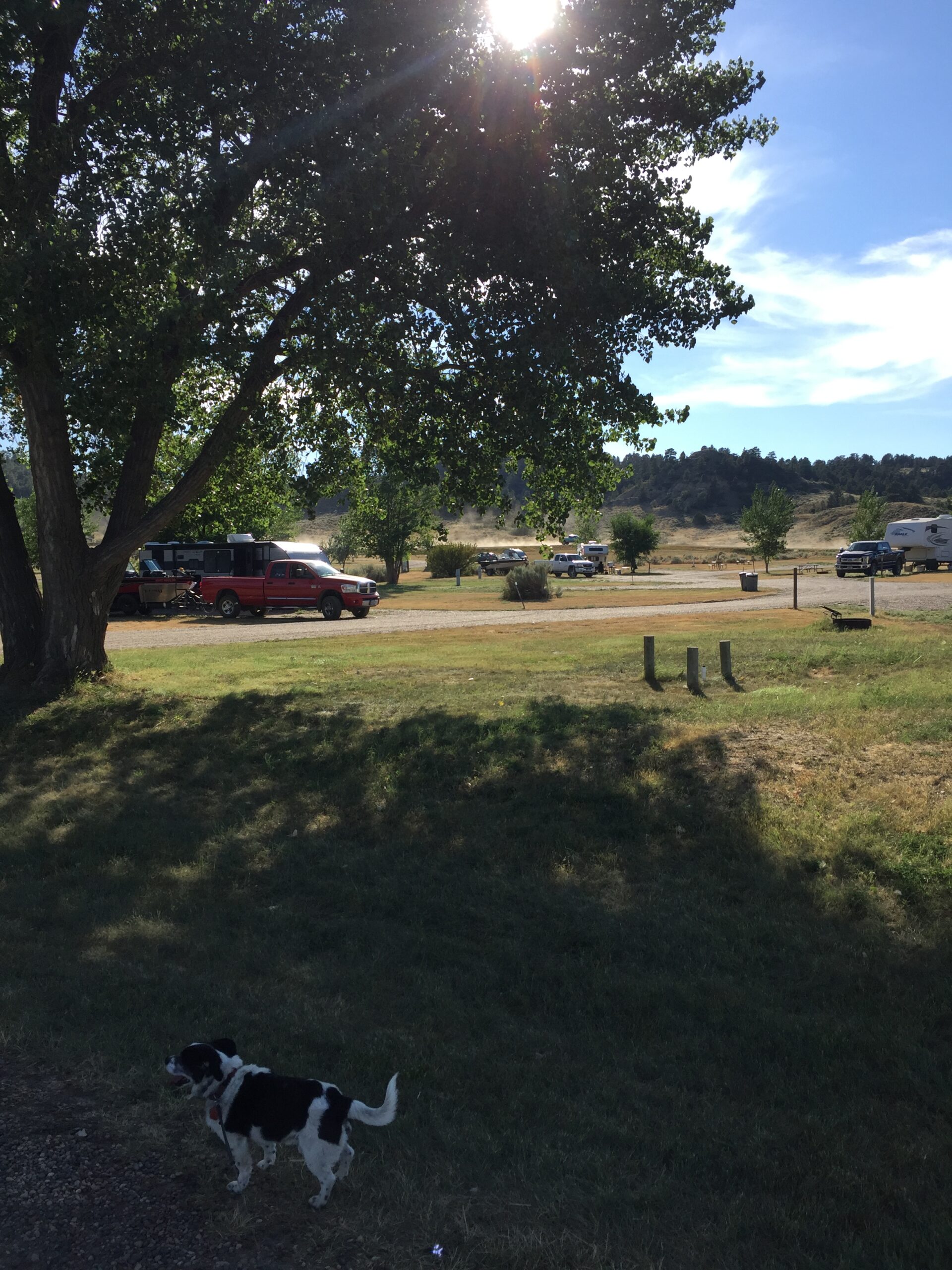
A small, tidy park under some of the most beautiful, umbrella-like maples I’ve ever seen.

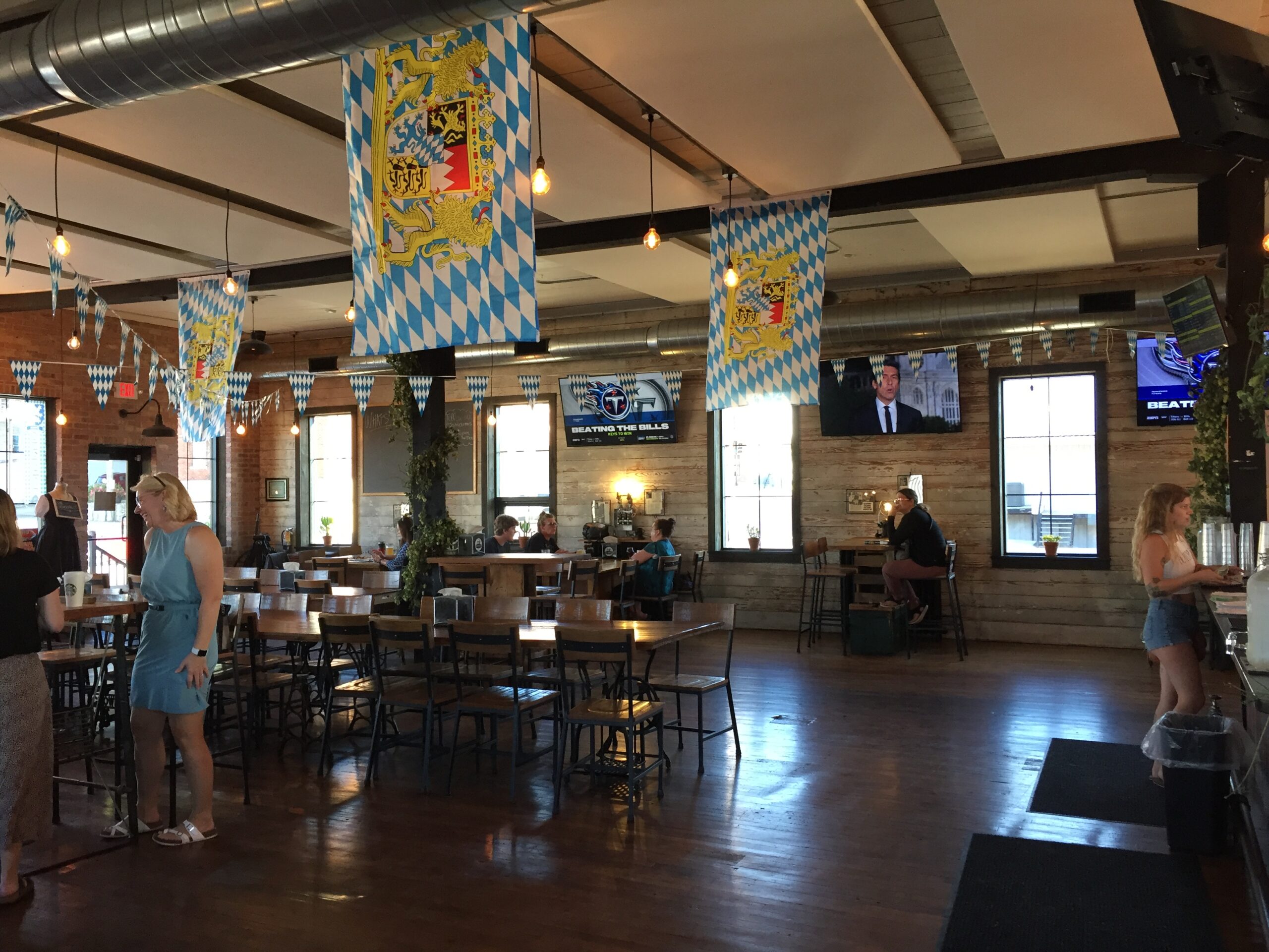
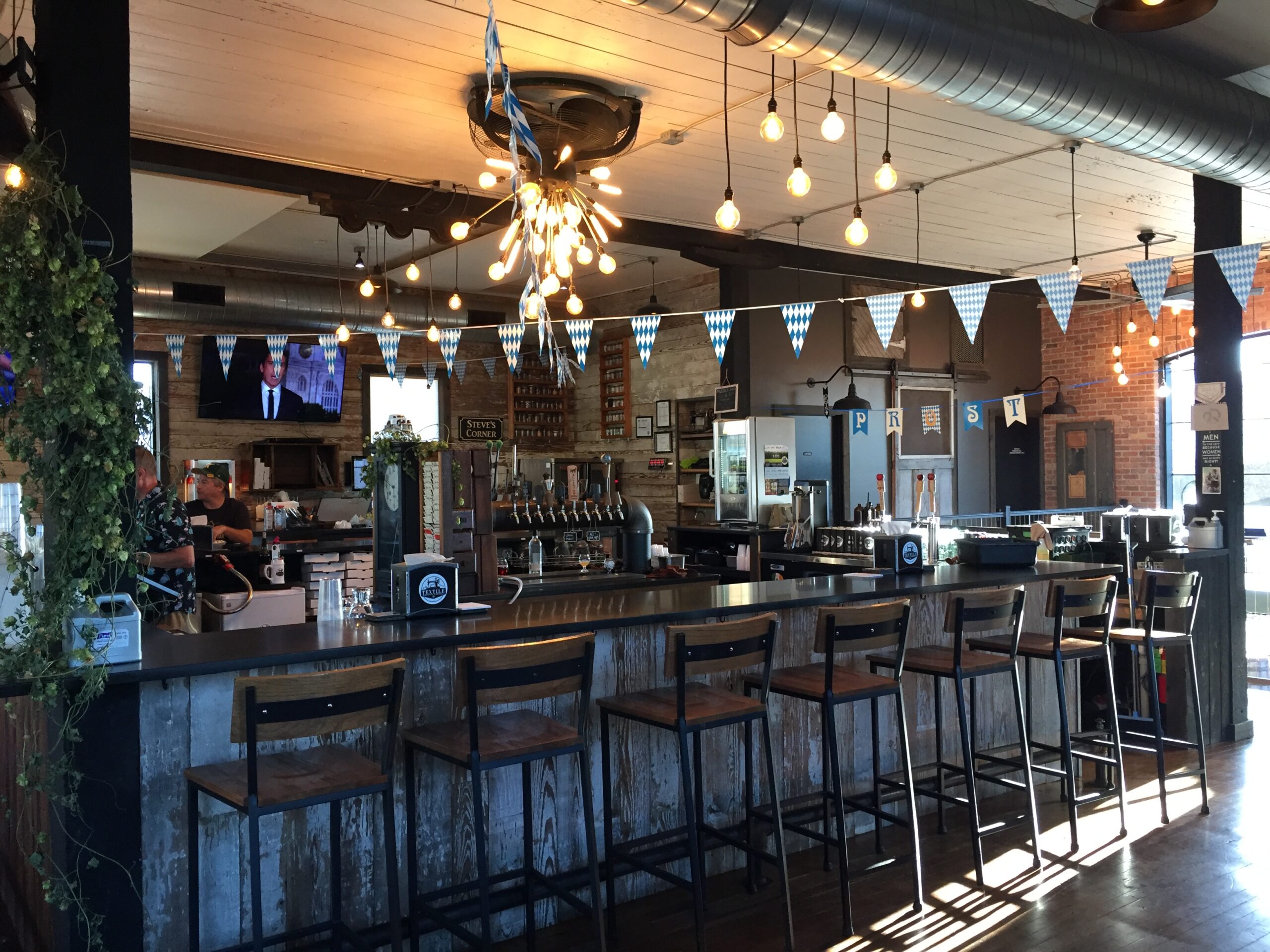
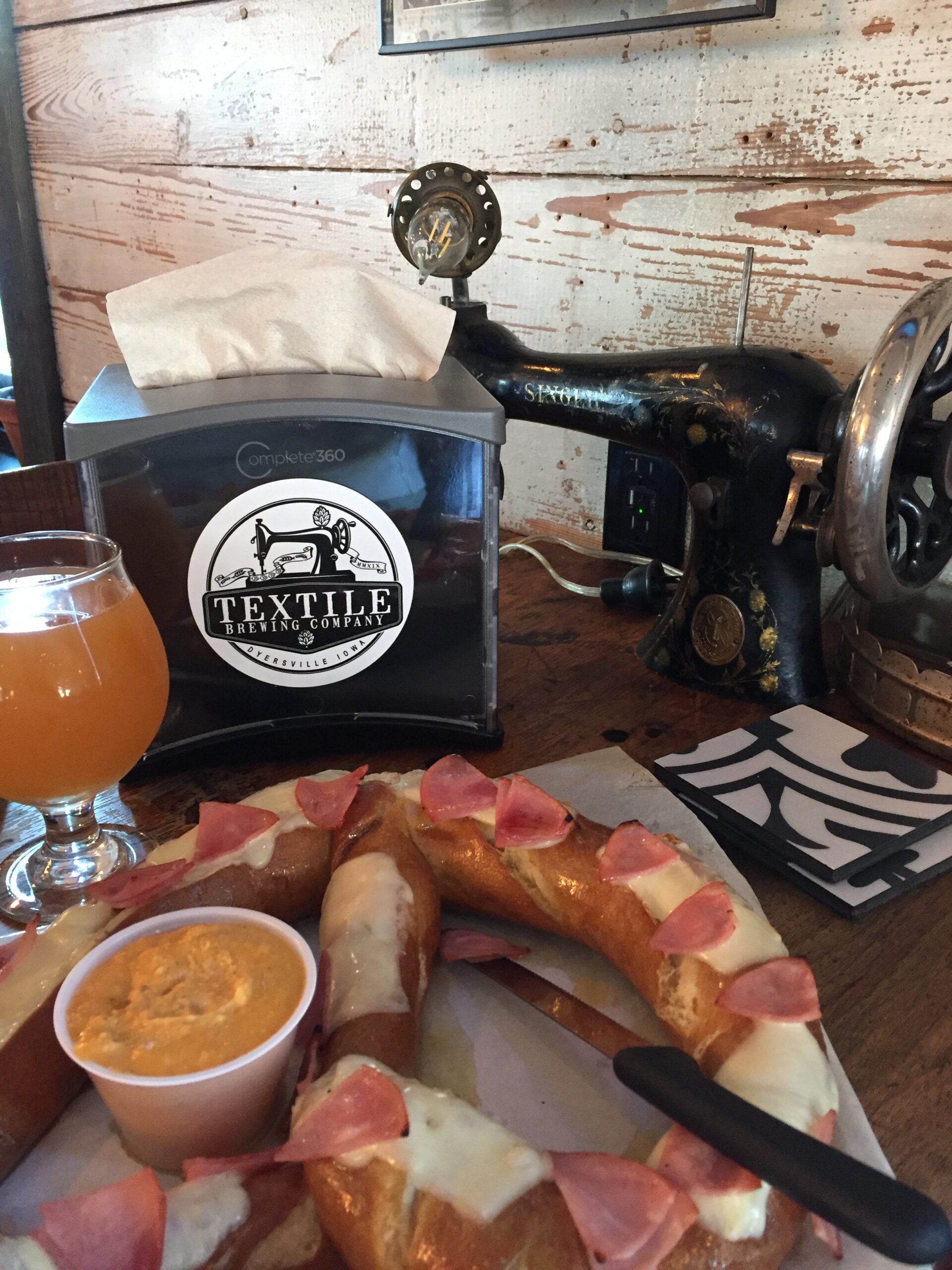
Russ showed up right after I did, and I decided, as a treat, to take him out to a local brewery in an old shirtwaist factory, called the Textile Brewery. It had great beer, amazing local hard ciders, and the biggest damn soft pretzels I’ve ever seen! We stayed and teamed up with two women at a neighboring table for Trivia Night and had a wonderful time.
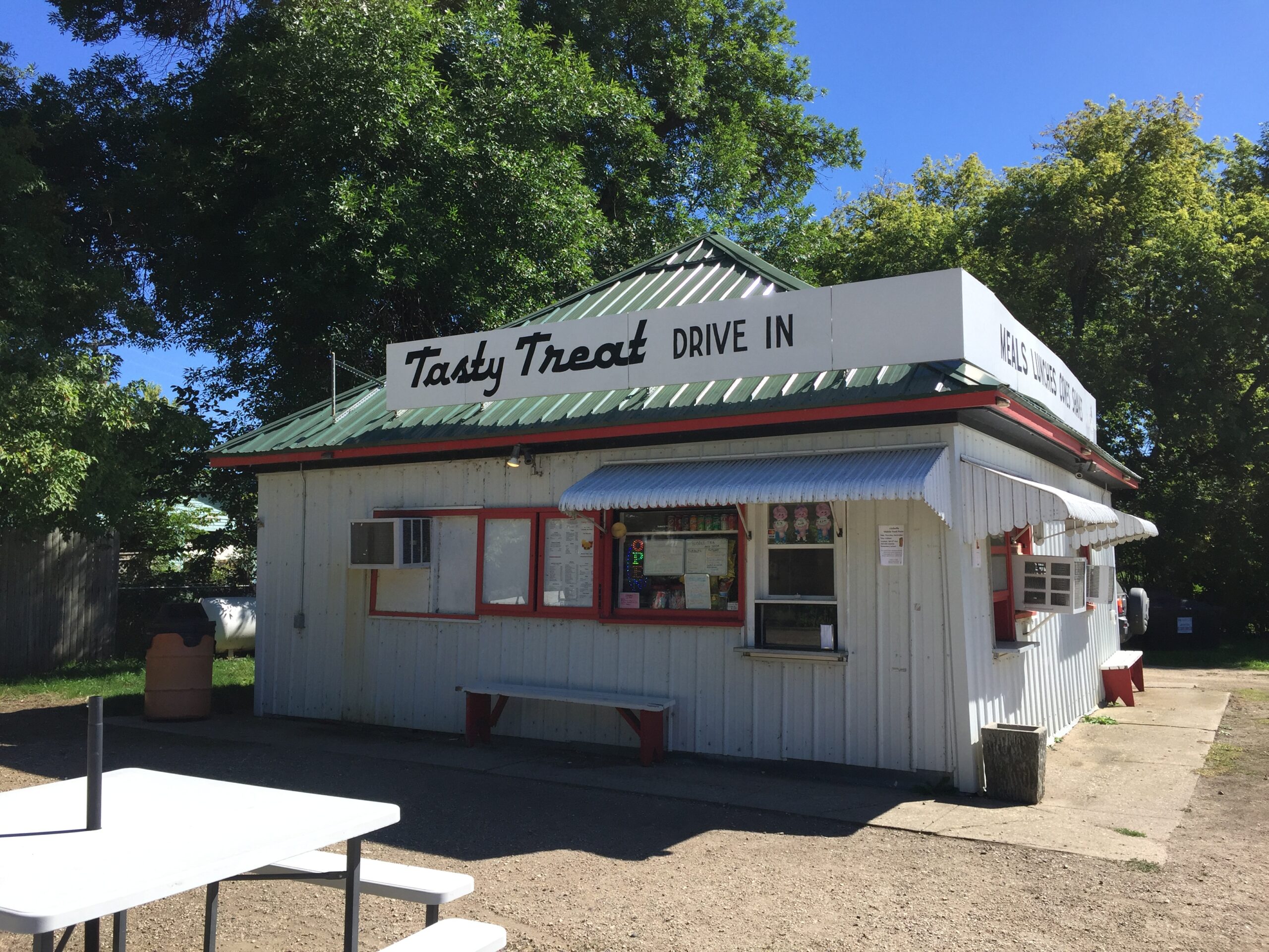
The next morning, Russ wanted to do some work on his bike, so I drove to a nearby town to check out a thrift shop that had been recommended to me by our friends of the previous night. Inside, I found a number of goodies, and spent a happy hour or so just noodling around. As I stepped outside with my treasures, I thought I’d send a picture of the store to my friend Suzi, who loves to thrift shop/tag sale/flea market with me.
I turned around to take a picture of the store, and was startled by the sign. The name of the store had no meaning to me. I checked my Apple Maps destinations list—i couldn’t find the name of the store there, even though I’d just used Apple Maps to get there. Confused, I got into the car and started to drive back to our campsite. That’s when I realized I couldn’t remember the name of our campground. And again, when I looked at my Apple Map history, I couldn’t find the name of the campground there. I finally called Russ, told him what was happening, got the name of the campground from him, plugged that into Apple Maps, and was able to drive back to the campground. On the way, I recognized windmills I’d passed on my way before, but I could not remember how old I was, even though I knew my birthdate. I could not recall the name of the town we were near. I could not remember the name of the restaurant we’d eaten at the night before. I was terrified.
Back at camp, I told Russ I needed to go to a hospital to be checked out. He drove into town and I was seen immediately at the small hospital there. They did a CT scan, which showed nothing. The doctor believed I was most likely suffering from something called Transient Global Amnesia, which looks like a stroke, with memory loss, but has no lasting effects and is not likely to recur. The fact that I had no physical symptoms of a stroke—numbness, tingling, or weakness—pointed to TGA, but they could not be sure without an MRI and further monitoring.
I elected to go to the University of Iowa hospital, an hour and a half away, where they had a full neurological team. Poor Russ, who never drives a car anymore, had to drive me into the city. I was admitted immediately (they had been informed I was coming), but it was an all night ordeal to get the MRI and EEG, and, more importantly, to get them interpreted. Meanwhile, we had brought the dogs with us, because we didn’t know when we would be back, and people kept calling security to tell them the dogs were ’abandoned,’ even though we were checking on them regularly. Russ did his best to get some sleep on a two-person settee in the waiting room, while I dozed fitfully in the exam room. It was midnight until a doctor allowed me to have food and water. We had just bought food in the all-night cafeteria when my phone rang: the MRI was ready: could I come right down? It was another half an hour until I actually got my food and drink.
It was 10 am the next morning before I met with the neurological team and the diagnosis of Transient Global Anemia was confirmed. Finally, I could continue our trip knowing that I was not in danger of having another stroke (my father had a series of TIA’s—small strokes—before he died, and I was worried about that family history). Russ was completely brain dead from the night before, so I drove the hour and a half back to the campground, where I promptly went to sleep and slept through most of the day.
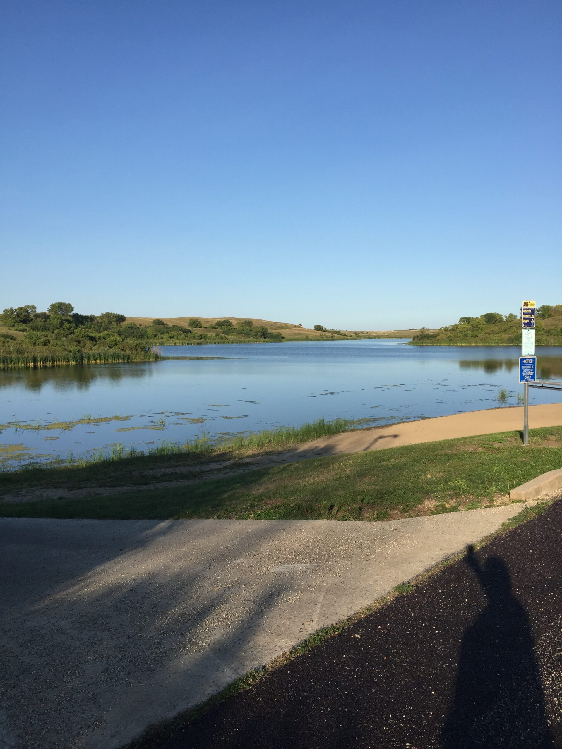
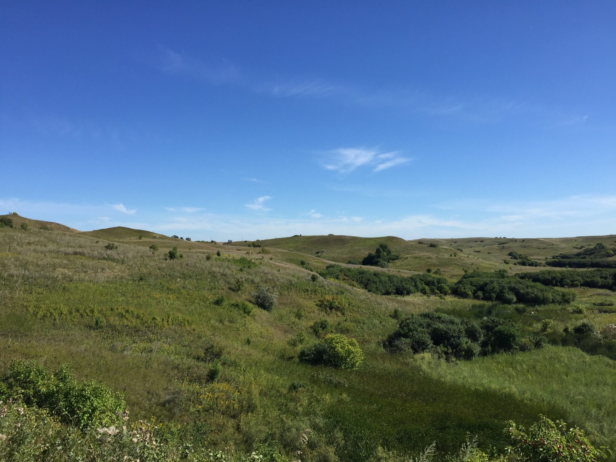
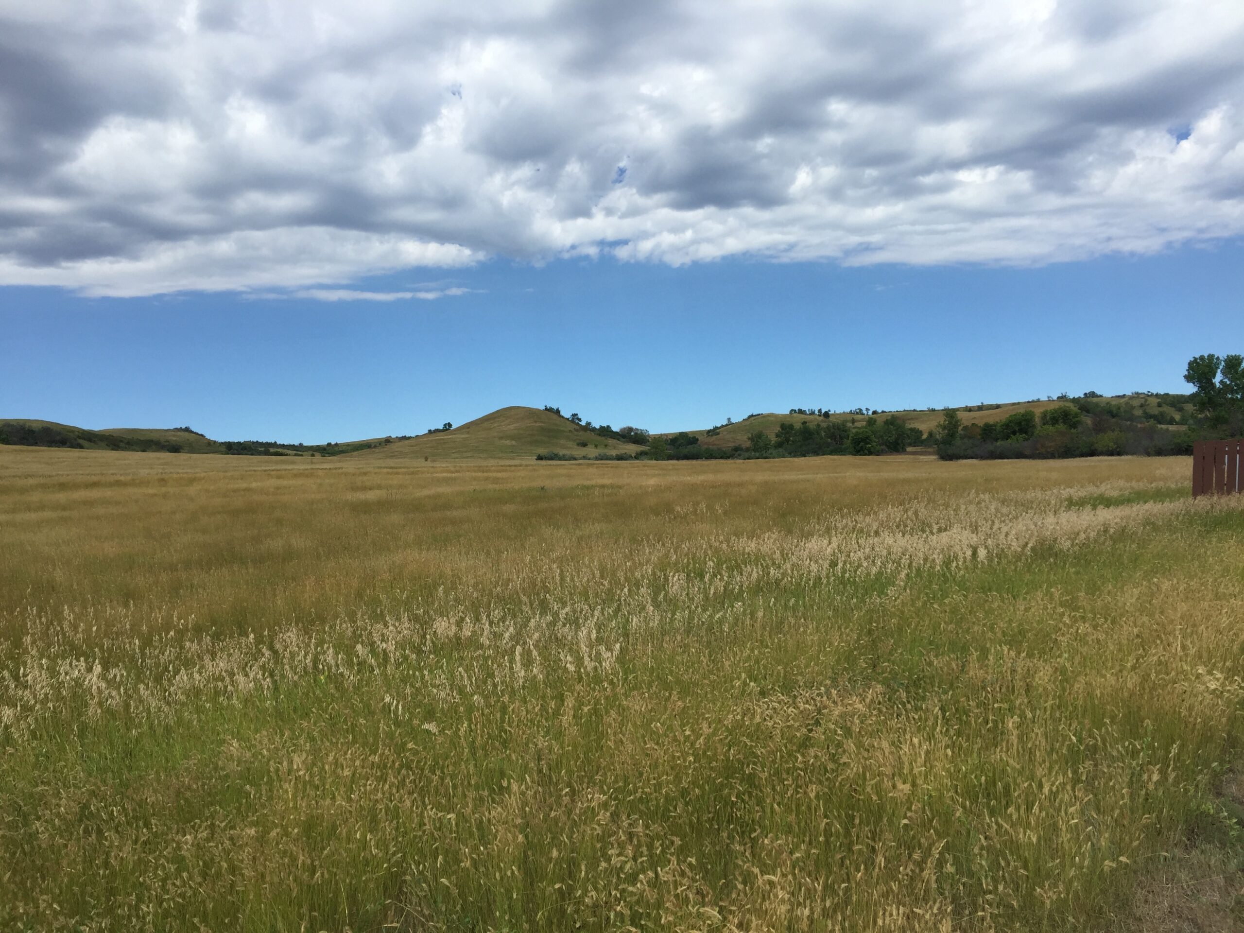
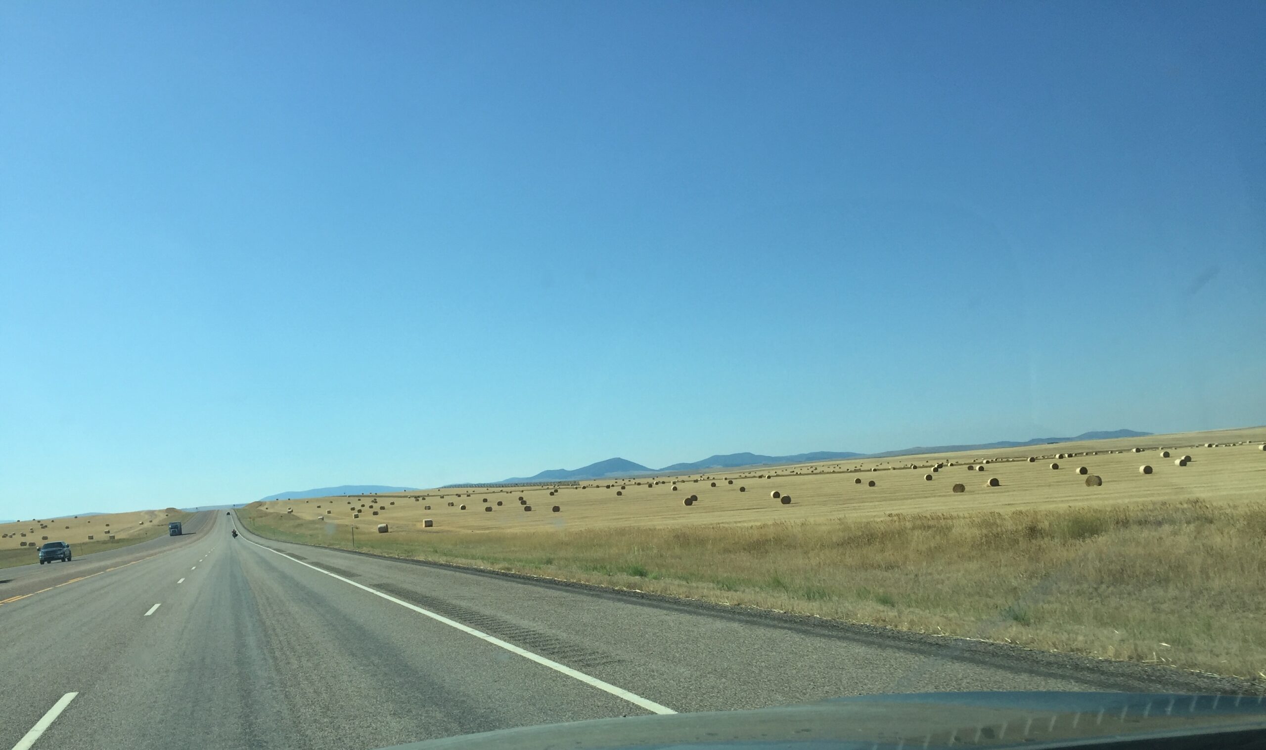
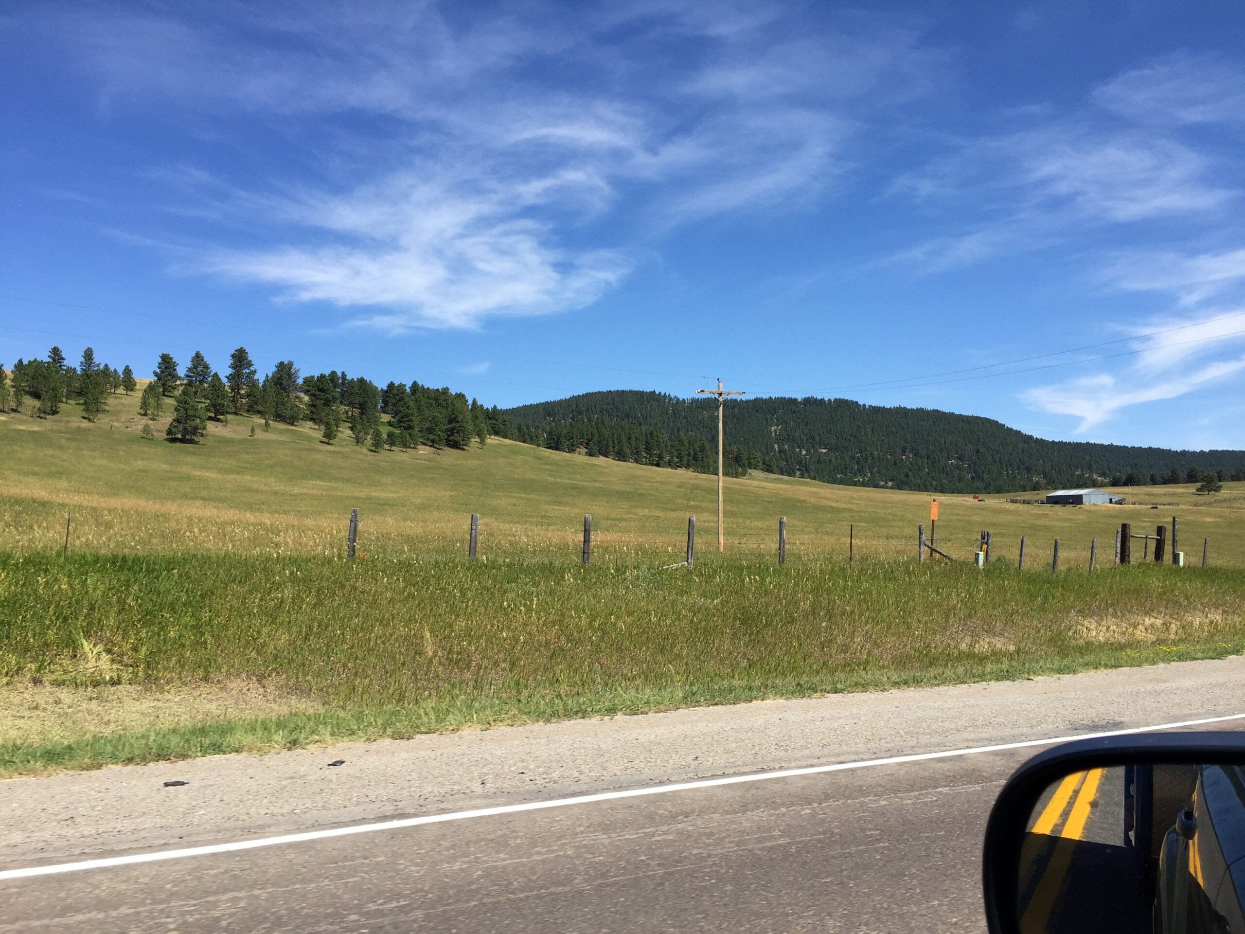
The next day, I drove to Johnson-Sauk Trail State Recreational Area, just north of Kewanee, IL, to wait for Russ, who would catch up to me in another two days.